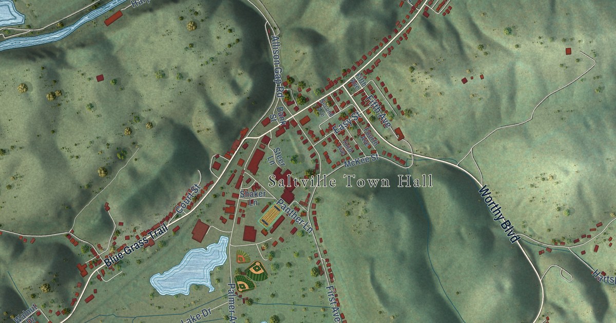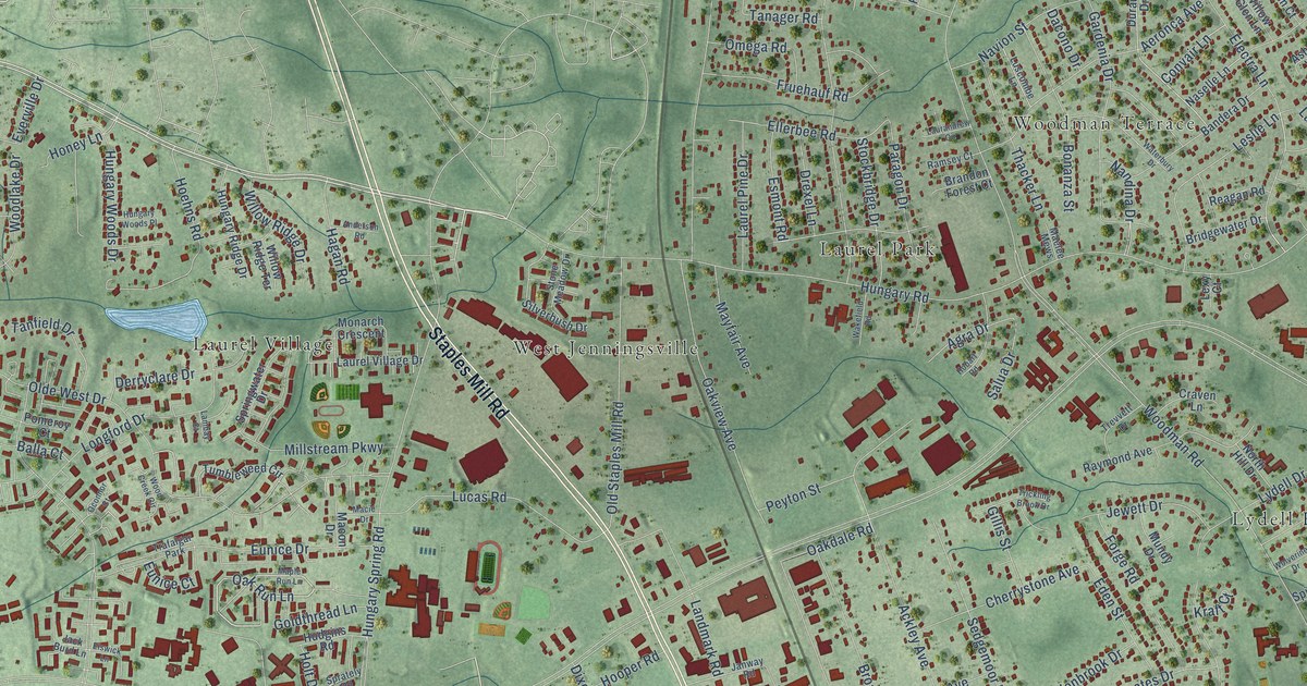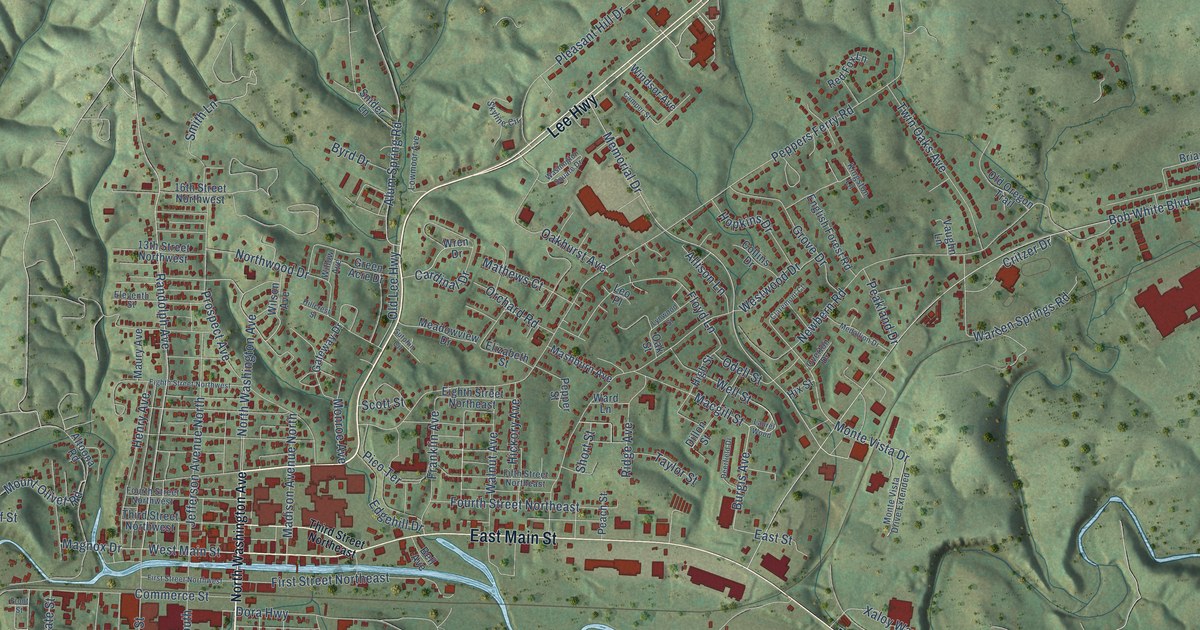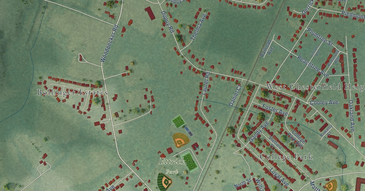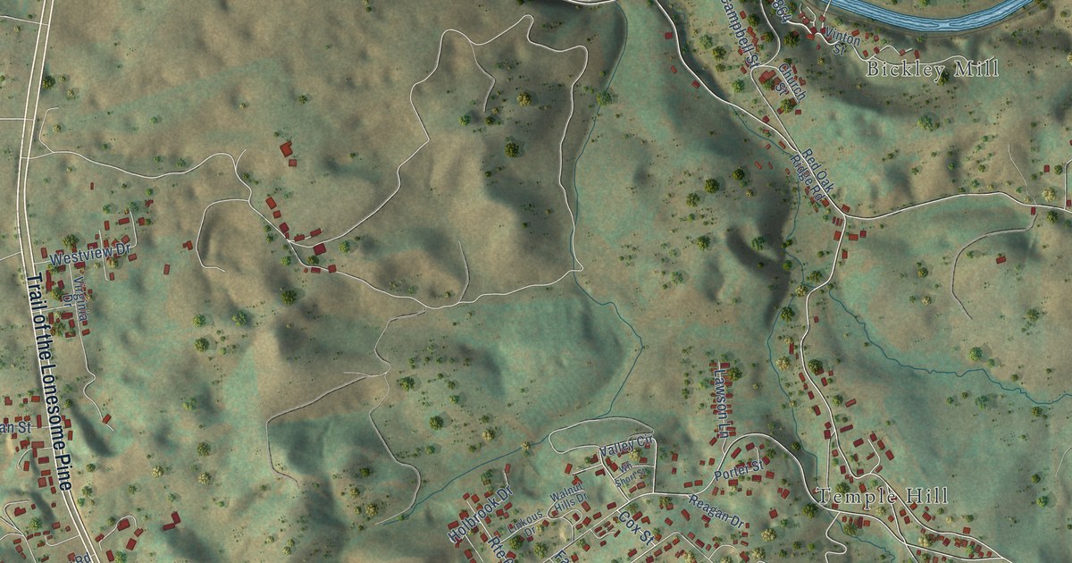
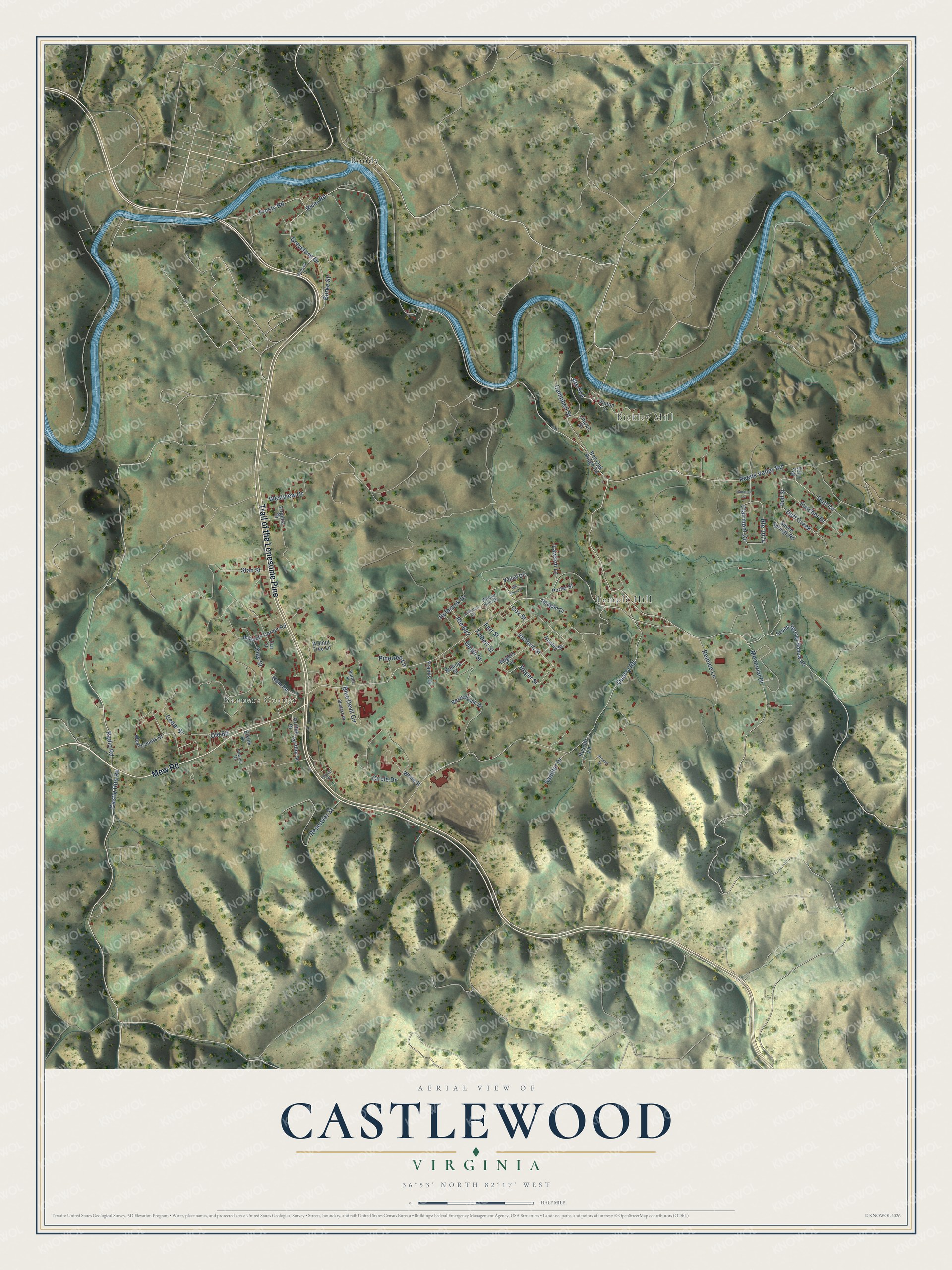
This beautifully detailed map of Castlewood, Virginia was created in 2026 using aerial imagery combined with modern topographical, census, street and landmark data. It's a modern aerial view of Castlewood in Russell County, Virginia, that combines modern data with a vintage aesthetic. The roads feature printed names, and if you look closely you can find your exact house accurately shown in its correct location.
Explore an aerial view of Castlewood, Virginia
On this map you'll find Banners Corner, Bickley Mill, Boody, Temple Hill, Trail of the Lonesome Pine, Mew Road, Memorial Drive, Cox Street, River Road, Victoria Street, Duff Circle, Old 65, and more. Each red shape is a building, so zoom in on the preview and look for yours.
Castlewood is a community in Russell County. The Census Bureau counted 1,704 people here in 2020. Castlewood sits about 7 miles south of Dante, 9 miles southwest of Cleveland and 10 miles east of Dungannon. The map prints the town name in its title panel, with the coordinates below it.
Take a closer look at the Castlewood map
Names on this map
These names are printed on this map.
Places: Banners Corner, Bickley Mill, Boody and Temple Hill.
Streets and roads: Trail of the Lonesome Pine, Mew Road, Route 864, Memorial Drive, Cox Street, River Road, Victoria Street, Duff Circle, Old 65, Quarry Road, Castle Run Road, Roger Street.
More street names, A to Z
Banners Corner Road, Bartee Street, Beauchamp Drive, Blue Devil Circle, Bolling Street, Burke Street, Campbell Street, Cedar Street, Church Street, Circle Drive, Clairmont Circle, Clat Street, Clay Street, Delph Street, Duff Creek, Duff Street, Elam Road, Elkins Drive, Farr Street, Fletcher Drive, Franks Drive, Frosty Road, Greystone Drive, Griffith Drive, Griffith Street, Hankins Lane, Henley Street, Holbrook Drive, Jordan Street, Lawson Lane, Linkous Drive, Pinetree Lane, Porter Street, Powers Drive, Radio Road, Reagan Drive, Red Oak Ridge Road, Reeds Valley Road, Rejoice Lane, Reservior Street, Rogers Circle, Route 682, Route 1074, Route 1075, Russell Drive, Russell Lane, Saddler Drive, Seven Springs Hollow Road, Seven Springs Road, Shulers Drive, Stan Street, Sunset Drive, Talbert Street, Valley Circle, Vinton Street, Virginia Drive, Walnut Hills Drive, Walnut Tree Lane, West Counts Drive, Westview Drive, White Street, Wh Short Street.
See it on a wall
The Castlewood map as a framed print. Swipe for more.


Created by KNOWOL in 2026. The buildings are small red shapes, the roads carry their printed names, and shaded relief shows the shape of the land. The title panel reads "AERIAL VIEW OF CASTLEWOOD, VIRGINIA" with 36°53' NORTH 82°17' WEST.
It looks right in a kitchen, an office or a den, and it's a gift for anyone who grew up in Castlewood or moved away. Open the preview and find your street. See sizes and frames for the Castlewood map.