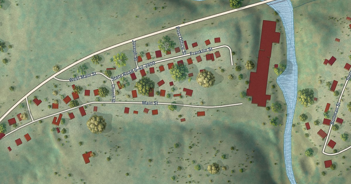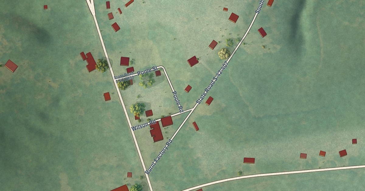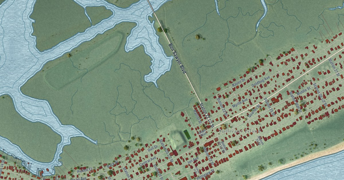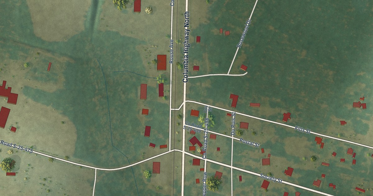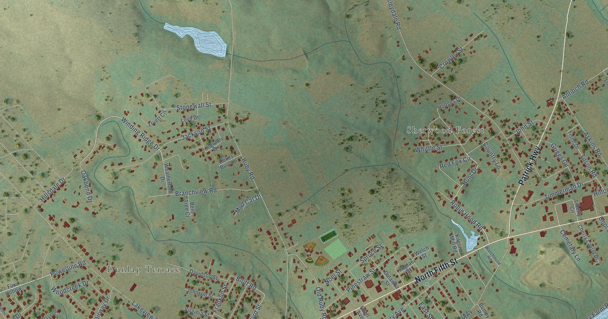
This beautifully detailed map of North Hartsville, South Carolina was created in 2026 using aerial imagery combined with modern topographical, census, street and landmark data. It’s a one-of-a-kind view of North Hartsville that combines accurate data with a vintage aesthetic. The map shows every building in its true location, many of the roads carry their names, and the shaded topographic relief shows the shape of the land.
Explore an aerial view of North Hartsville, South Carolina
On the map you’ll find Sherwood Forest, Prestwood Village, Woodbridge, and Club Colony, along with Dunlap Terrace, North Fifth Street, Patrick Highway, Fox Hollow Drive, Powerline Road, Hollywood Boulevard, Winding Ridge Drive, Hunt Drive, and more. North Hartsville sits about 6 miles east of Pine Ridge, 8 miles north of Lydia and 9 miles west of Dovesville. If you look closely you can even find your house accurately drawn in its correct location. Zoom in on the preview to look for yours.
Take a closer look at the North Hartsville map
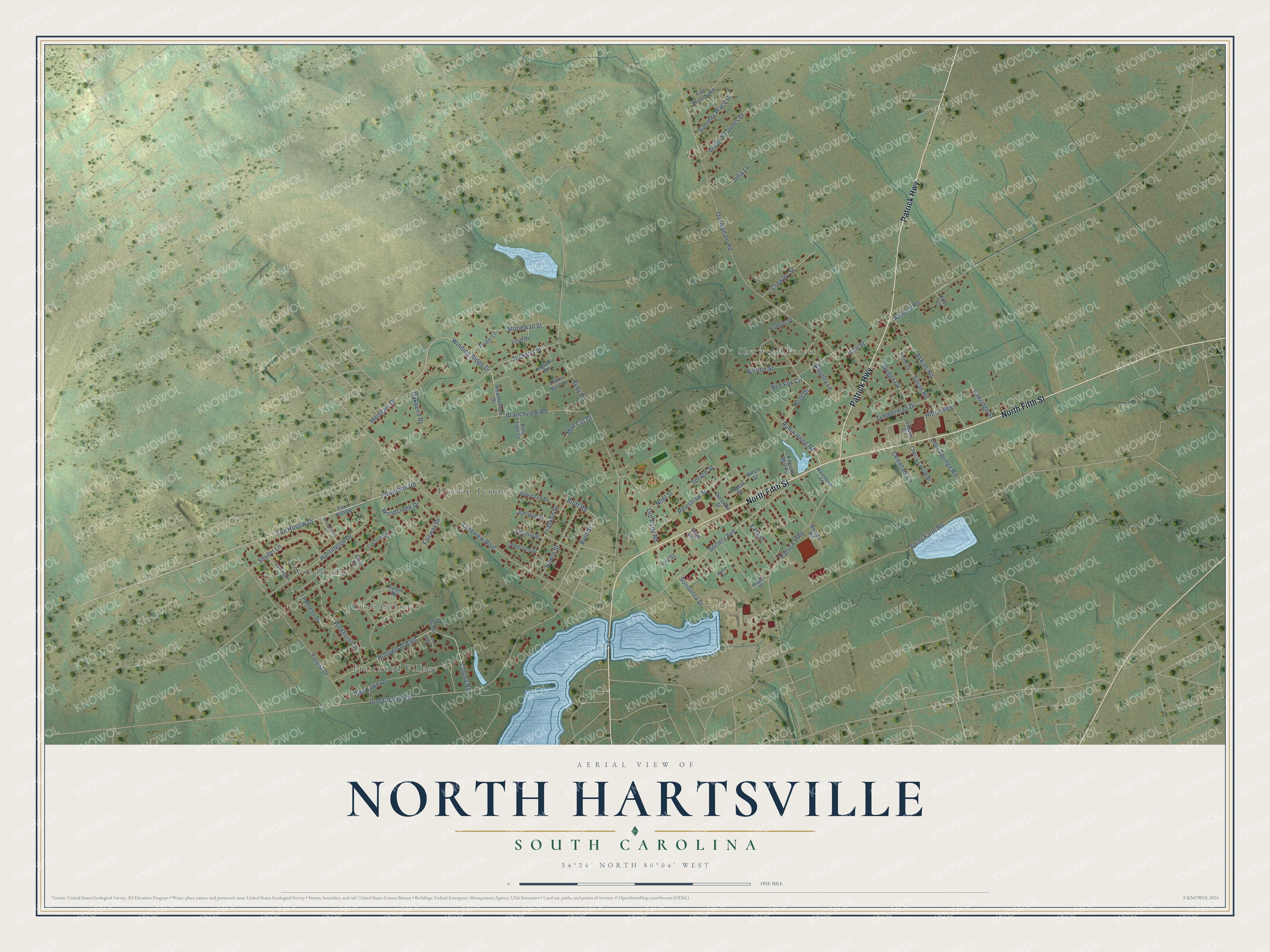
Names on this map
These names are printed on this map.
Places: Dunlap Terrace, Sherwood Forest, Prestwood Village, Woodbridge and Club Colony.
Streets and roads: North Fifth Street, Patrick Highway, Fox Hollow Drive, Powerline Road, Hollywood Boulevard, Winding Ridge Drive, Hunt Drive, Robin Hood Road, Bluff Road, Byrd Street, Ousleydale Road, Ruby Road.
More street names, A to Z
Amerson Street, Antioch Road, Askins Road, Bent Tree Court, Branchview Road, Branchwood Lane, Bumpy Road, Carrington Lane, Catawba Street, Cemetary Lane, Cherry Laurel Drive, Club Court, Cokes Bury Lane, Colony Road, Cool Springs Road, Country Lane, Crowley Street, Davidson Street, Douglas Street, East Street, Edell Avenue, Fairway Drive, Five Friends Road, Forest Drive, Fox Hollow, Franklin Street, Golf Course Road, Green Pastures Drive, Griggs Circle, Hillsdale Drive, Hilton Avenue, Hodges Drive, Howle Street, Huntington Drive, Ingram Circle, Iris Street, Jackson Street, Johnson Street, John Street, Julia Lane, Kilgore Mill Road, Kohl Lane, Lakeview Boulevard, Liberty Circle, Link Side Court, Loyd Drive, Marlin Drive, Mud Cat Drive, Noel Street, Oakbend Drive, Oakhaven Circle, Oakridge Street, Old Ruby Road, Palmetto Drive, Pinehurst Drive, Pine Lake Drive, Pinestraw Street, Poplar Street, Red Fox Circle, Red Maple Court, Salem Road, Snyder Lane, Society Avenue, Sonovista Drive, Spray Farm Road, Spruce Street, Stonewall Street, Summer Place Drive, Tilson Road, Timmerman Drive, Tison Drive, Truett Circle, Virginia Street, Warehouse Road, Weatherford Drive, Welch Street, Whittle Street, Woodcreek Drive.
See it on a wall
The North Hartsville map as a framed print. Swipe for more.


This beautifully detailed map of North Hartsville makes an attractive addition to your office, library, or den, and it can even be used to teach children the geography and history of the area. It also makes a great gift for someone who left North Hartsville and still calls it home. When you’re done exploring, click here to get your copy of the North Hartsville map.