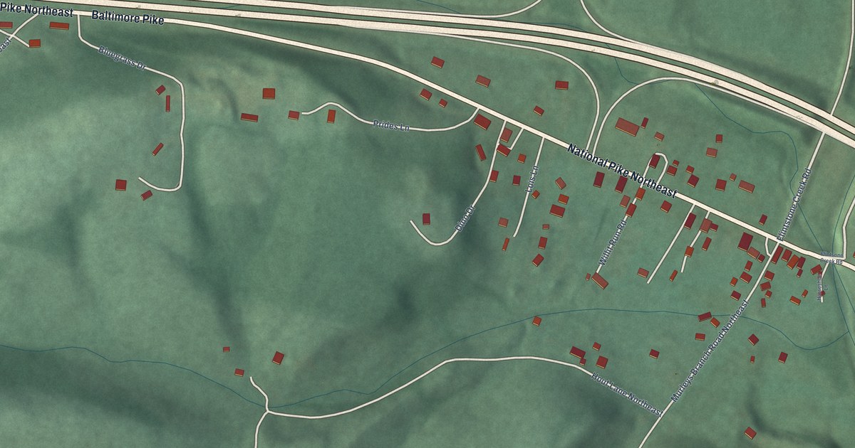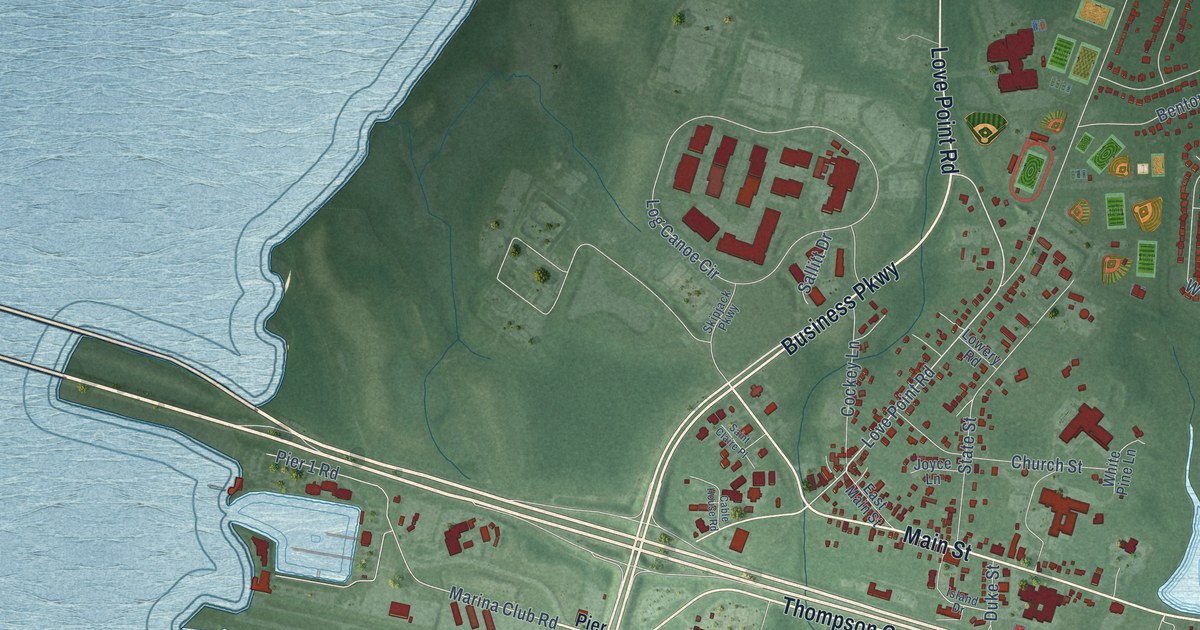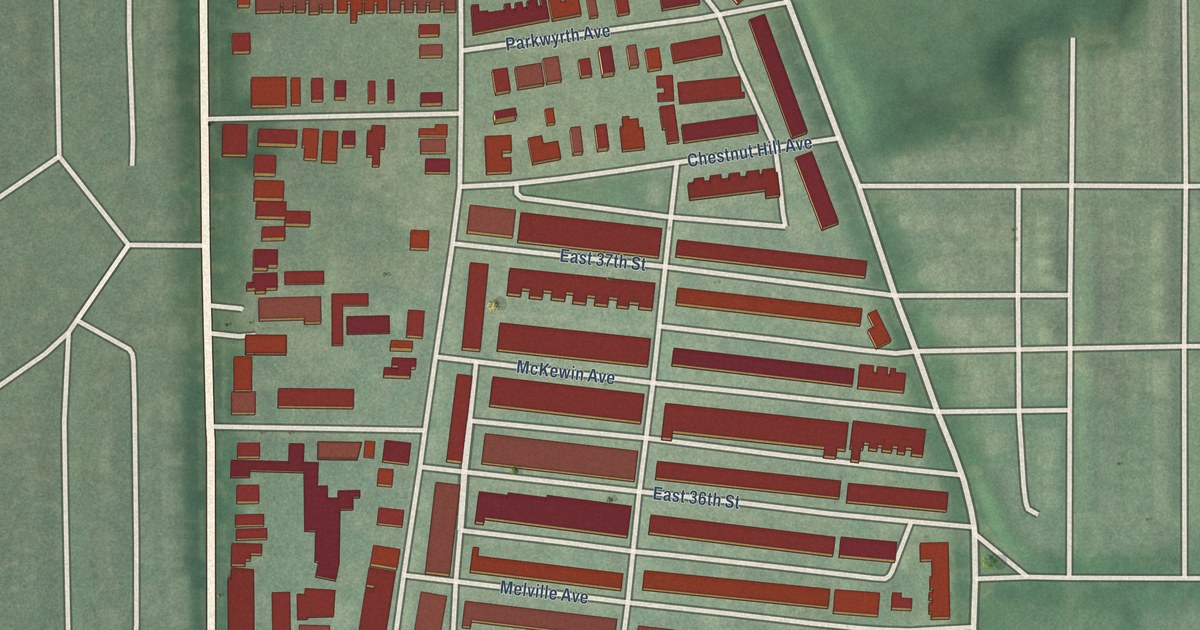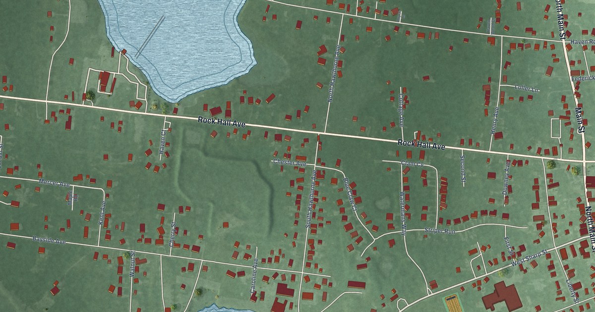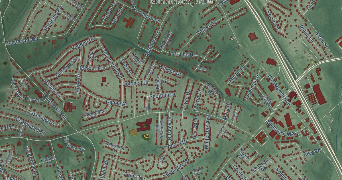
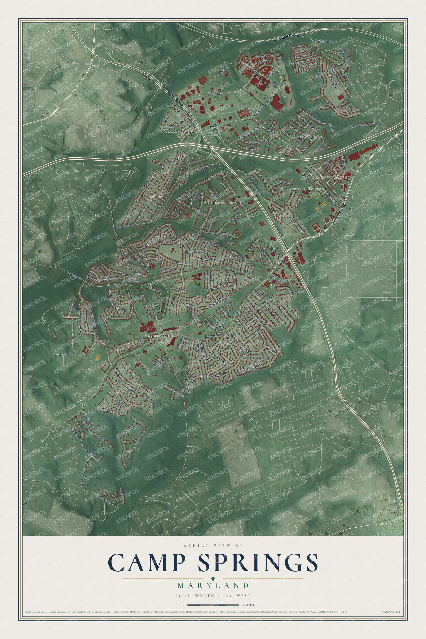
This beautifully detailed map of Camp Springs, Maryland was created in 2026 using aerial imagery combined with modern topographical, census, street and landmark data. It's a modern aerial view of Camp Springs in Prince George's County, Maryland, that combines modern data with a vintage aesthetic. The roads feature printed names, and if you look closely you can find your exact house accurately shown in its correct location.
Explore an aerial view of Camp Springs, Maryland
On this map you'll find Middleton Farm, Pagetts Corner, Auth Village, Woods Corner, Manchester Estates, Andrews Manor, Broadview, Suitland Parkway, Allentown Road, Branch Avenue, Auth Road, Telfair Boulevard, and more. Each red shape is a building, so zoom in on the preview and look for yours.
Here is a piece of Camp Springs history. In 1902 the county agreed to build a school for Black children in Camp Springs. By 1924 the one-room school had 78 pupils, and the children sold candy to help raise money for a new two-room school, built that year with help from the Black community and the Julius Rosenwald Fund. It was one of 24 Rosenwald schools built in Prince George's County. That's from the Maryland Historical Trust.
Camp Springs is a community in Prince George's County. The Census Bureau counted 22,734 people here in 2020.
Take a closer look at the Camp Springs map
Names on this map
These names are printed on this map.
Places: Middleton Farm, Pagetts Corner, Auth Village, Woods Corner, Manchester Estates, Andrews Manor and Broadview.
Streets and roads: Suitland Parkway, Allentown Road, Branch Avenue, Auth Road, Telfair Boulevard, Auth Way, Morris Avenue, Kingston Drive, Dodge Lane, Temple Hill Road, Brinkley Road, Old Branch Avenue.
More street names, A to Z
Acorn Drive, Acton Road, Alcon Drive, Aley Road, Allen Court, Allentown Farm Court, Allentown Way, Anderson Drive, Arden Lane, Armand Avenue, Ashley's Crossing Court, Auth Place, Barto Avenue, Baywolf Street, Beachcraft Court, Berkshire Drive, Birch Lane, Birdsong Drive, Braddock Road, Braymer Avenue, Brentley Road, Bridgeport Drive, Brinkley Court, Buchanan Road, Buck Creek Road, Bushey Drive, Cable Avenue, Camp Springs Avenue, Capital Gateway Drive, Carswell Avenue, Cedell Place, Center Drive, Cherryfield Road, Chesterfield Drive, Cimarron Lane, Clacton Avenue, Claridge Road, Clayton Lane Drive, Colonial Drive, Colonial Terrace, Colon Terrace, Coolridge Road, Copperville Way, Dalton Street, Darel Street, Davis Boulevard, Deer Pond Lane, Delta Lane, Dublin Drive, Easy Street, Edgemere Drive, Elmendorf Drive, English Court, Farmer Drive, Farmer Place, Flam Street, Foley Terrace, Geneva Lane, Gibbons Drive, Gifford Lane, Glen Oak Drive, Gloria Drive, Goodfellow Drive, Greenboro Lane, Greenline Court, Griffith Drive, Gunston Lane, Harley Lane, Harrison Lane, Hartfield Avenue, Harvest Road, Henderson Road, Henderson Way, Highgate Drive, Hill Way, Hope Drive, Howie Court, Huntland Road, Janet Lane, Jean Marie Drive, John Adams Drive, John Street, Jolly Drive, Joyce Drive, Juanita Court, Kae Court, Karen Anne Drive, Kenstan Drive, Kenwood Street, Keppler Place, Keppler Road, Kilbourne Drive, Konrad Drive, Kult Lane, Ladd Road, Lakeview Drive, Lanham Lane, Lanier Avenue, Lansing Drive, Larwin Drive, Leah Court, Leon Street, Limekiln Drive, Linda Lane, Loch Raven Road, Long View Road, Lorraine Drive, Lucente Avenue, Lucerne Road, Ludlow Drive, Lujean Lane, Lumar Drive, Mackson Drive, Manchester Drive, Mansfield Drive, Mansfield Manor Drive, Maria Avenue, Mark Drive, Marlin Lane, Maxwell Drive, Maxwells Grant Court, McKeldin Drive, Medford Avenue, Merchant Road, Middlefield Road, Middlefield Terrace, Middleton Court, Middleton Lane, Midtown Square, Napoli Road, Newman Road, Nile Place, Noah Drive, Northam Road, Oakland Way, Oaklawn Road, Offut Drive, Old Soper Road, Old Temple Hills Road, Pats Lane, Pats Place, Pats Terrace, Payne Drive, Peggyanne Court, Pendall Drive, Penley Lane, Perrie Lane, Pleasant Hill Drive, Pope Court, Purdun Drive, Putt Road, Rayburn Drive, Reamy Drive, Redd Lane, Ridgecrest Drive, Roberts Drive, Robinia Road, Robin Lane, Rose Court, Sapienza Drive, Sharon Road, Sheffield Drive, Shopton Drive, Shopton Place, Simmons Lane, Skyline Drive, Skyline Terrace, Southfield Road, Stan Haven Road, Stoneridge Court, Suitland Road, Summerhill Road, Taft Road, Tall Oak Drive, Tamworth Court, Taylor Manor Avenue, Telfair Way, Thuman Drive, Tipton Drive, Toby Drive, Tolson Road, Trude Street, Trueman Drive, Tyburn Street, Vernon Drive, Vernon Way, Waldran Avenue, Walton Avenue, Webster Lane, Weldon Drive, Wessex Drive, Wesson Drive, Westchester Court, Westchester Drive, Westhaven Drive, Westridge Place, White Oak Avenue, Wilkins Drive, Wills Lane, Woodbourne Avenue, Woodland Road, Wood Road, Yorkshire Drive, Yorkville Road.
See it on a wall
The Camp Springs map as a framed print. Swipe for more.


Created by KNOWOL in 2026. The buildings are small red shapes, the roads carry their printed names, and shaded relief shows the shape of the land. The title panel reads "AERIAL VIEW OF CAMP SPRINGS, MARYLAND" with 38°48' NORTH 76°55' WEST.
It suits a den, a classroom or a front hall, and it makes a gift for anyone with Camp Springs roots. Open the preview and find the block you know. See sizes and frames for the Camp Springs map.