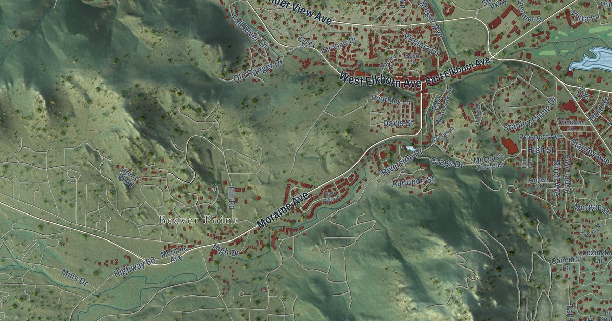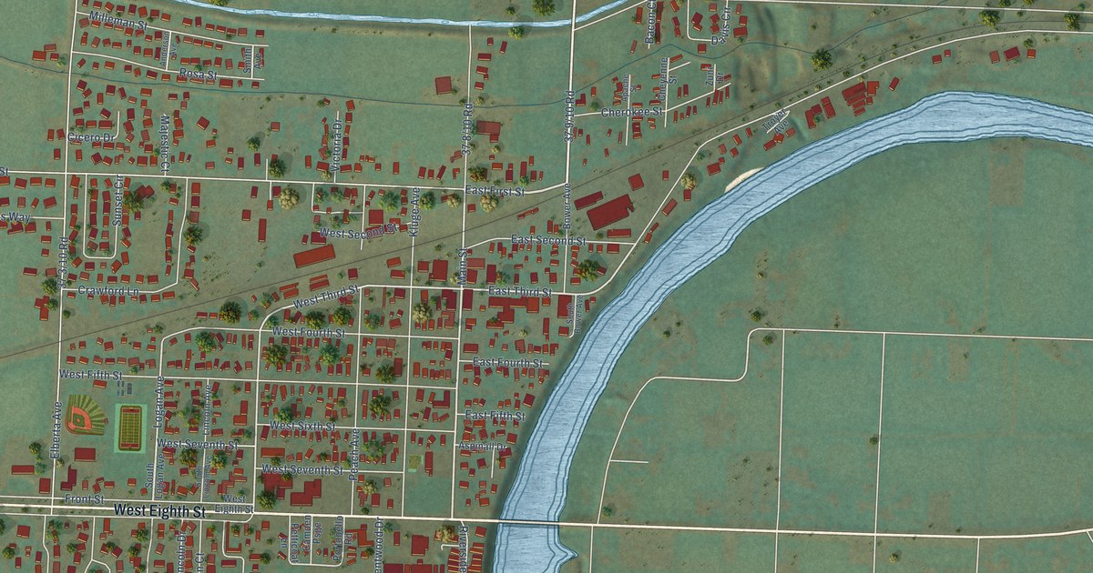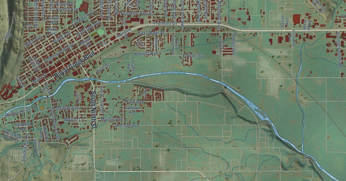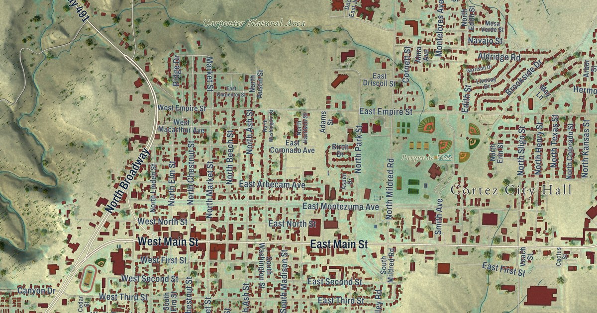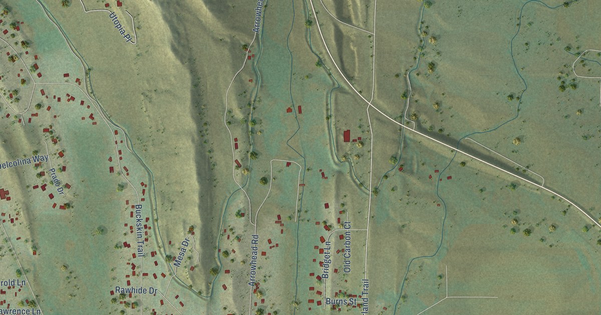
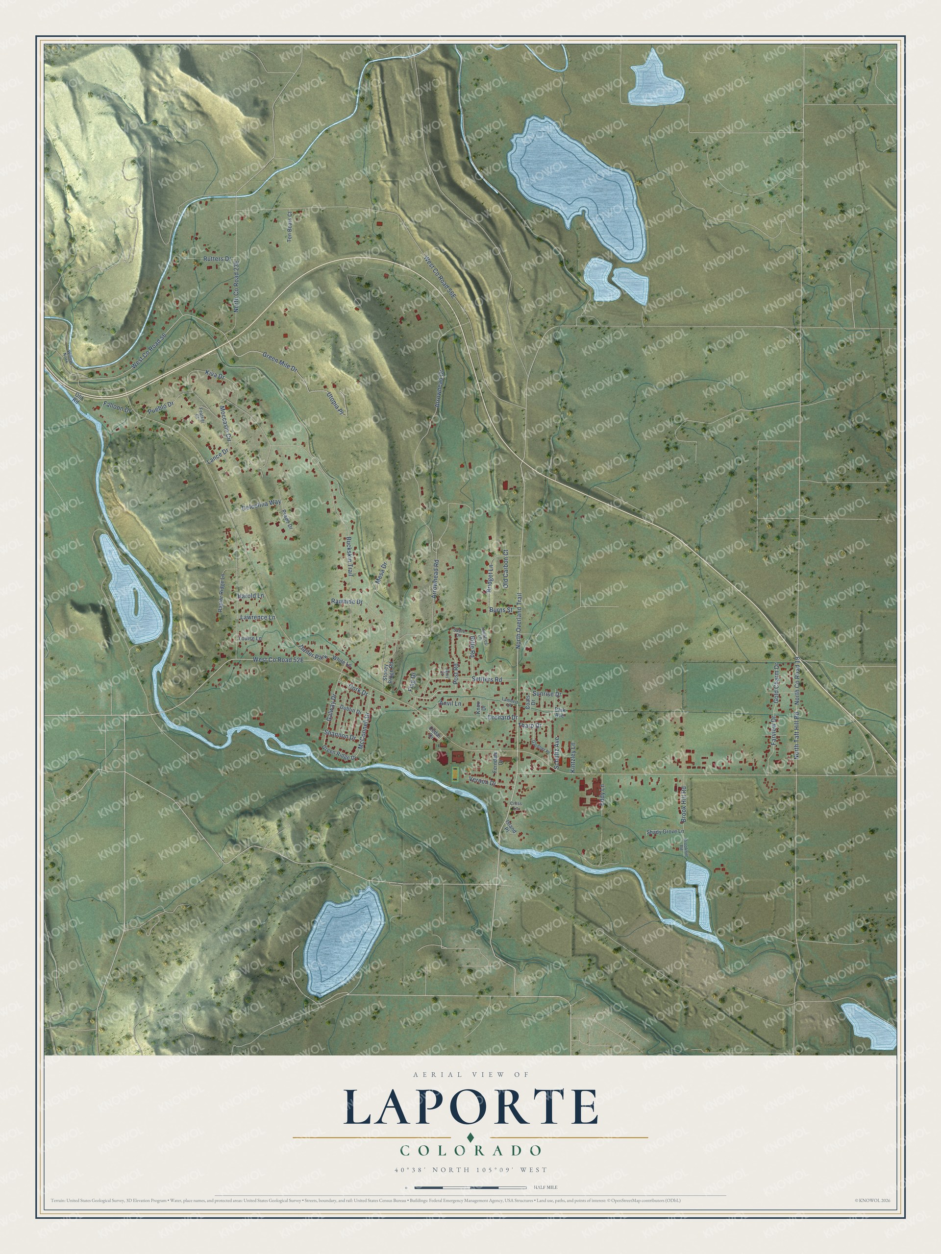
This beautifully detailed map of Laporte, Colorado was created in 2026 using aerial imagery combined with modern topographical, census, street and landmark data. It's a modern aerial view of Laporte in Larimer County, Colorado, that combines modern data with a vintage aesthetic. The roads feature printed names, and if you look closely you can find your exact house accurately shown in its correct location.
Explore an aerial view of Laporte, Colorado
On this map you'll find West Co Road 52E, Galway Drive, Post Road, West Co Road 56, Vernon Drive, West Co Road 56E, North Overland Trail, North Taft Hill Road, North Co Road 23E, Buckskin Trail, Arrowhead Drive, Arrowhead Road, and more. Each red shape is a building, so zoom in on the preview and look for yours.
Laporte has a story worth telling. Fort Collins had its beginning in Laporte. On July 22, 1862, soldiers came to what is now Laporte to guard the Overland Stage Line and the Cherokee Trail, and their post was named Camp Collins for Lt. Col. William O. Collins. After a flood swept through Camp Collins in June 1864, the army chose a new site for its post. That's from the Fort Collins History Connection archive.
Laporte is a community in Larimer County. The Census Bureau counted 2,409 people here in 2020.
Take a closer look at the Laporte map
Names on this map
These names are printed on this map.
Places: Trailer Park.
Streets and roads: Galway Drive, Post Road, West County Road 56, Vernon Drive, North Overland Trail, North Taft Hill Road, Buckskin Trail, Arrowhead Drive, Arrowhead Road, Green Mile Drive, Utopia Place, Moccasin Circle.
More street names, A to Z
Anvil Lane, Bridget Lane, Brook Hill Road, Brookhill Road, Burns Street, Cedar Drive, Coats Drive, Cork Drive, Cross Lane, Delcolina Way, Dublin Drive, Eddy Lane, Falloon Drive, Farview Drive, Feather Court, Ferndale Drive, Flag Drive, Gardner Place, Gold Charm Drive, Green Ridge Drive, Harold Lane, Innisfree Lane, Island Place, Janis Court, Kintzley Lane, Kiva Drive, Knox Drive, Lambert Lane, Lance Drive, Lawrence Lane, Louise Lane, McConnell Drive, Mesa Drive, North County Road 19, Old Carbon Court, Old Road, Orchard Drive, Park Avenue, Prado Drive, Pueblo Drive, Raptor Ridge Lane, Rawhide Drive, Rifle Road, Rutters Drive, Sabre Drive, Schultz Avenue, Settlers Road, Shady Grove Lane, Shannon Drive, Stoney Ridge Road, Sunrise Drive, Ten Bears Court, Tharp Drive, White Lane, Willow Nook.
See it on a wall
The Laporte map as a framed print. Swipe for more.


Created by KNOWOL in 2026. The buildings are small red shapes, the roads carry their printed names, and shaded relief shows the shape of the land. The title panel reads "AERIAL VIEW OF LAPORTE, COLORADO" with 40°38' NORTH 105°09' WEST.
It looks right in a kitchen, an office or a den, and it's a gift for anyone who grew up in Laporte or moved away. Open the preview and find your street. See sizes and frames for the Laporte map.