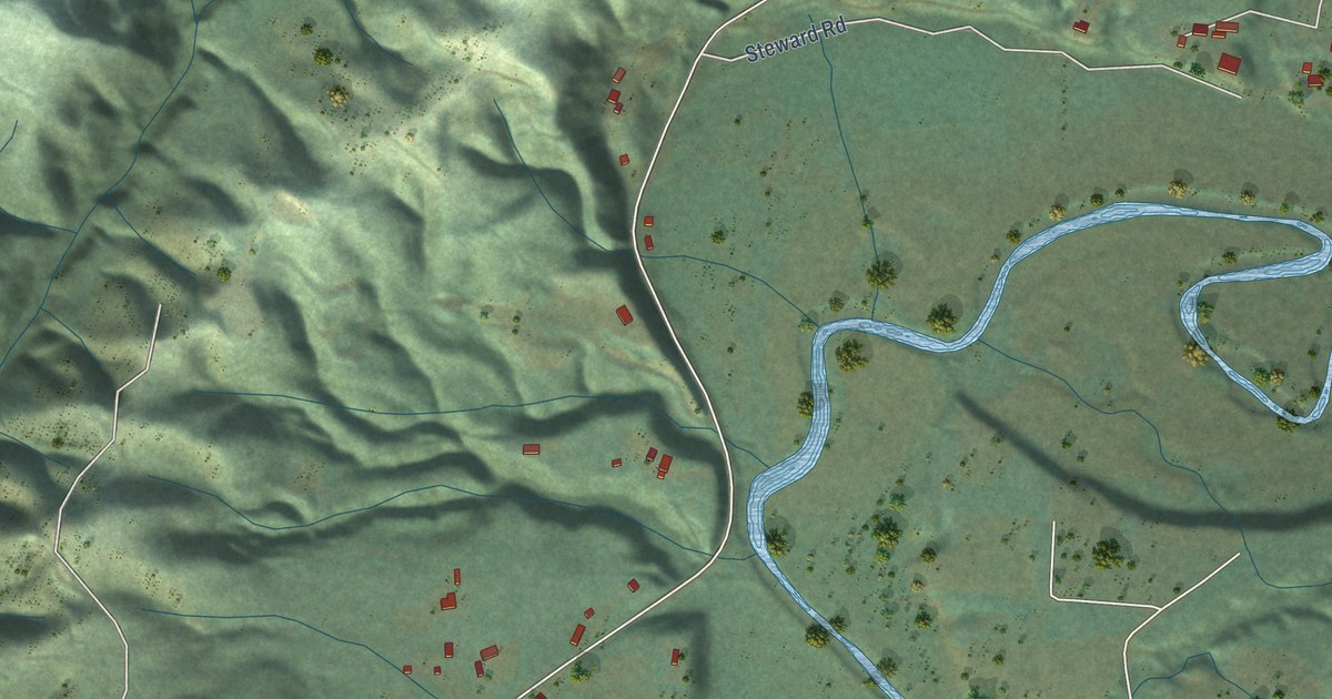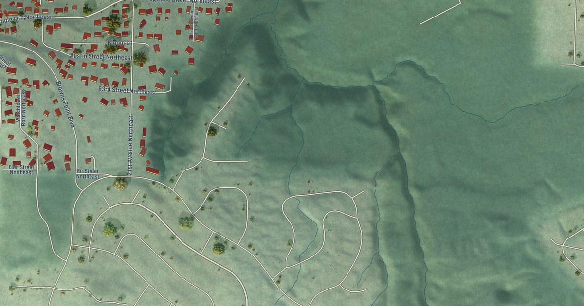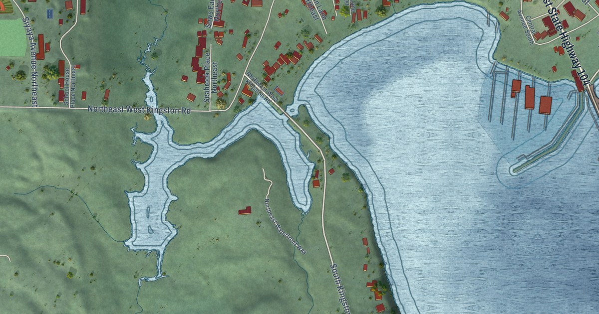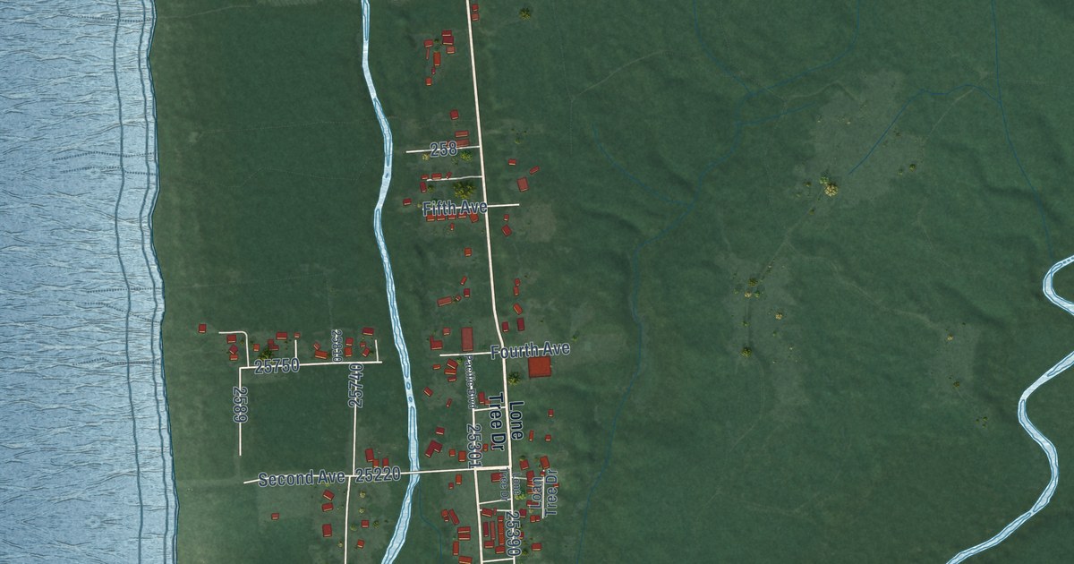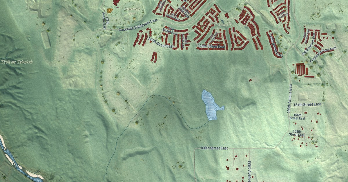
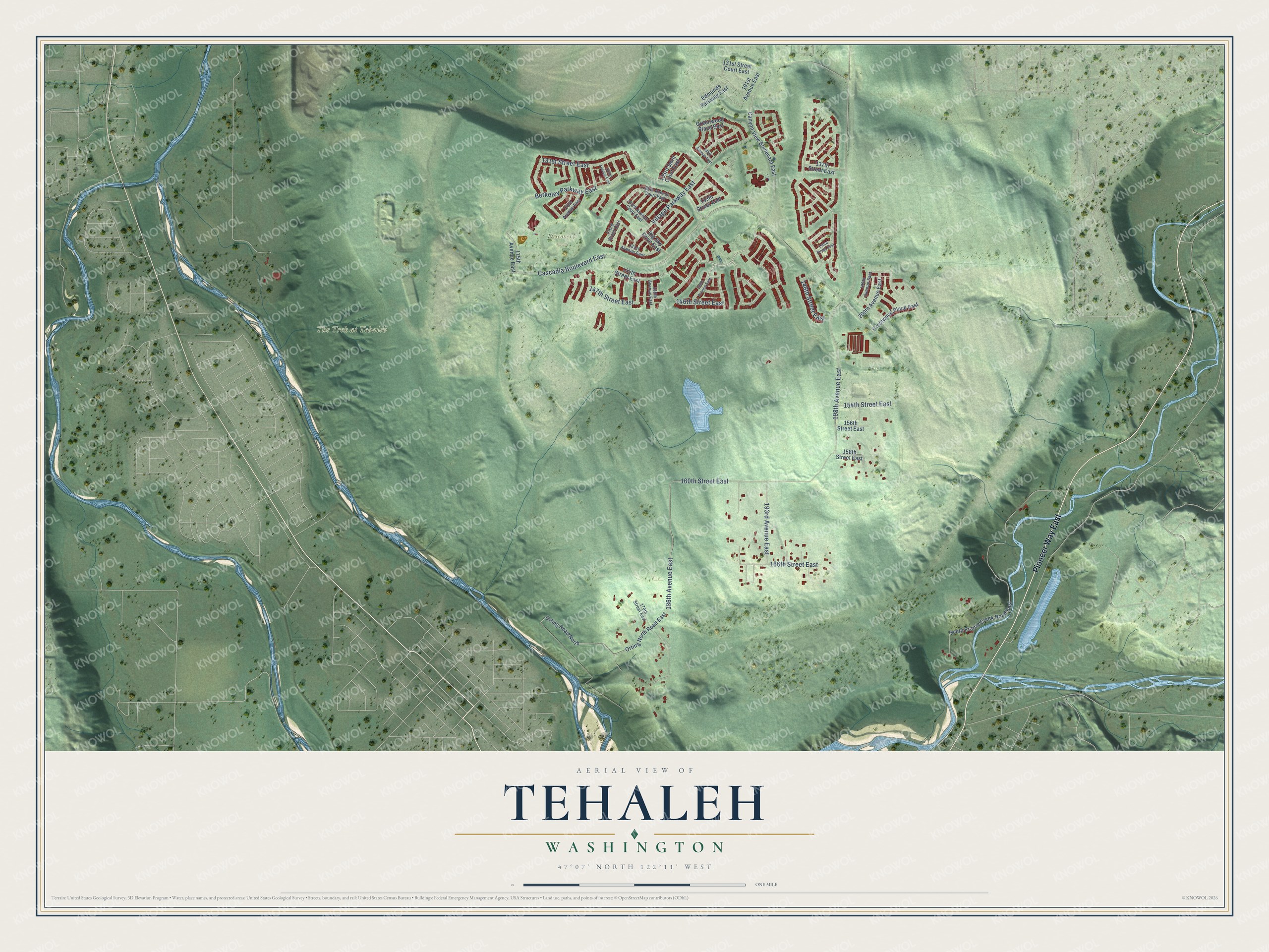
This beautifully detailed map of Tehaleh, Washington was created in 2026 using aerial imagery combined with modern topographical, census, street and landmark data. It’s a one-of-a-kind view of Tehaleh that combines accurate data with a vintage aesthetic. The map shows every building in its true location, many of the roads carry their names, and the shaded topographic relief shows the shape of the land.
Explore an aerial view of Tehaleh, Washington
On the map you’ll find Discovery Park and The Trek at Tehaleh, along with Pioneer Way East, Cascadia Boulevard East, Berkeley Parkway East, 160th Street East, 186th Avenue East, 198th Avenue East, Village Parkway East, 146th Street East, 131st Street East, 166th Street East, and more. If you look closely you can even find your house accurately drawn in its correct location. Zoom in on the preview to look for yours.
Did You Know?
The name Tehaleh comes from words meaning highlands or the land above. Mount Rainier can be seen throughout the community, and stone cairns, the stacks of stones hikers use as trail markers in high country, mark the entrances to its parks and trails. That's from the Tehaleh community developers.
Take a closer look at the Tehaleh map
Names on this map
These names are printed on this map.
Places: Discovery Park and The Trek at Tehaleh.
Streets and roads: Pioneer Way East, Cascadia Boulevard East, Berkeley Parkway East, 160th Street East, 186th Avenue East, 198th Avenue East, Village Parkway East, 146th Street East, 131st Street East, 166th Street East, 193rd Avenue East, 148th Street East.
More street names, A to Z
131st Street Court East, 133rd Saint Court East, 133rd Street East, 137th Street East, 139th Street East, 143rd Street East, 145th Street East, 147th Street East, 154th Street East, 156th Street East, 158th Street East, 170th Street East, 175th Avenue East, 179th Avenue East, 181st Avenue East, 182nd Avenue East, 183rd Avenue Court East, 185th Avenue Court East, 185th Avenue East, 188th Avenue East, 189th Avenue East, 191st Avenue East, 199th Avenue East, 200th Avenue East, Big Sky Drive East, Canyon View Boulevard East, Crestwood Place East, Edmunds Parkway East, Greenwood Place East, Orting North Road East, Orting Road North, South Prairie Creek Road East.
See it on a wall
The Tehaleh map as a framed print. Swipe for more.


This beautifully detailed map of Tehaleh makes an attractive addition to your office, library, or den, and it can even be used to teach children the geography and history of the area. It also makes a great gift for anyone with Tehaleh roots. When you’re done exploring, click here to get your copy of the Tehaleh map.