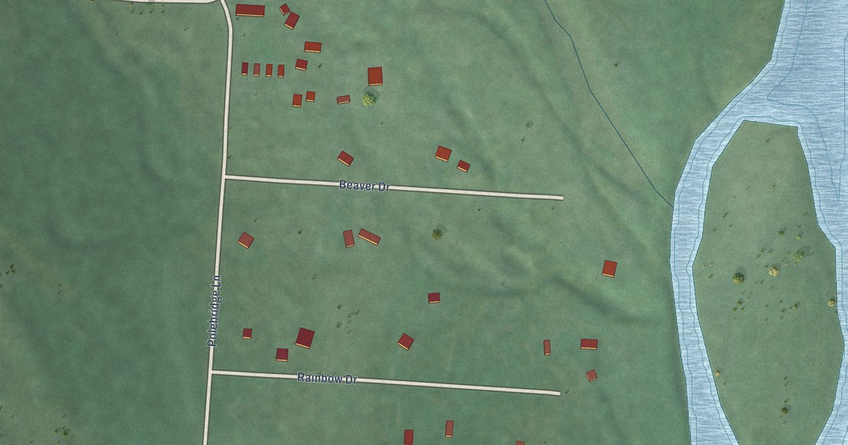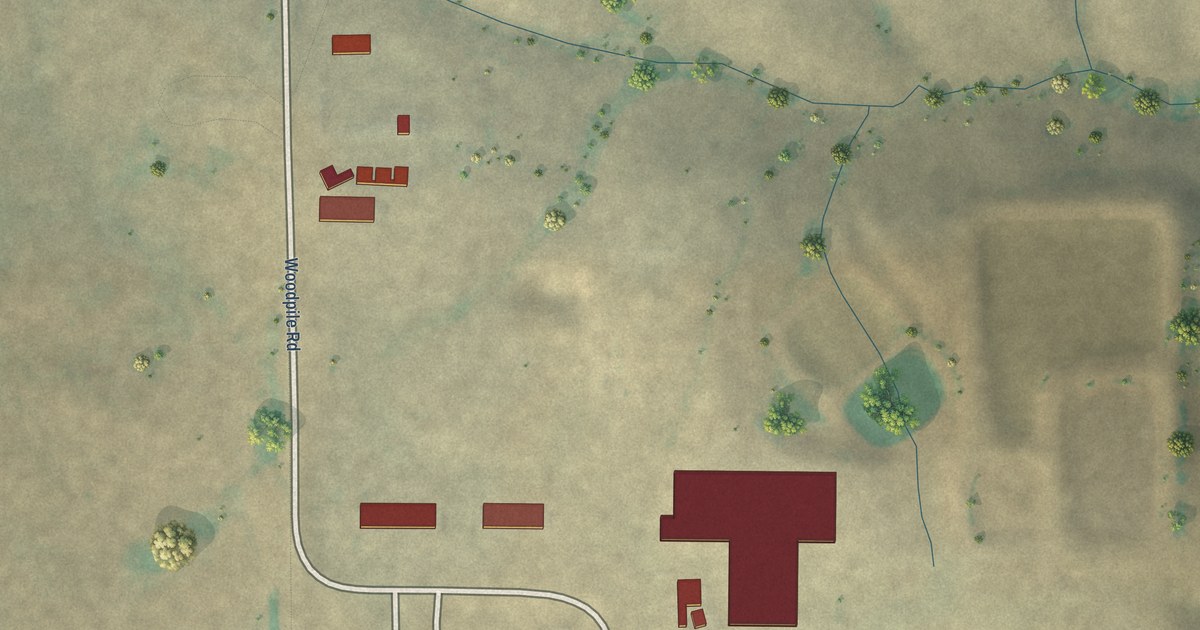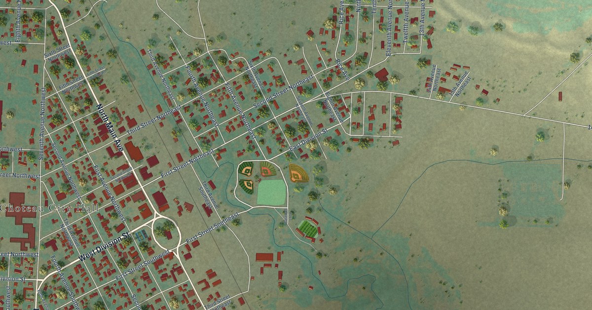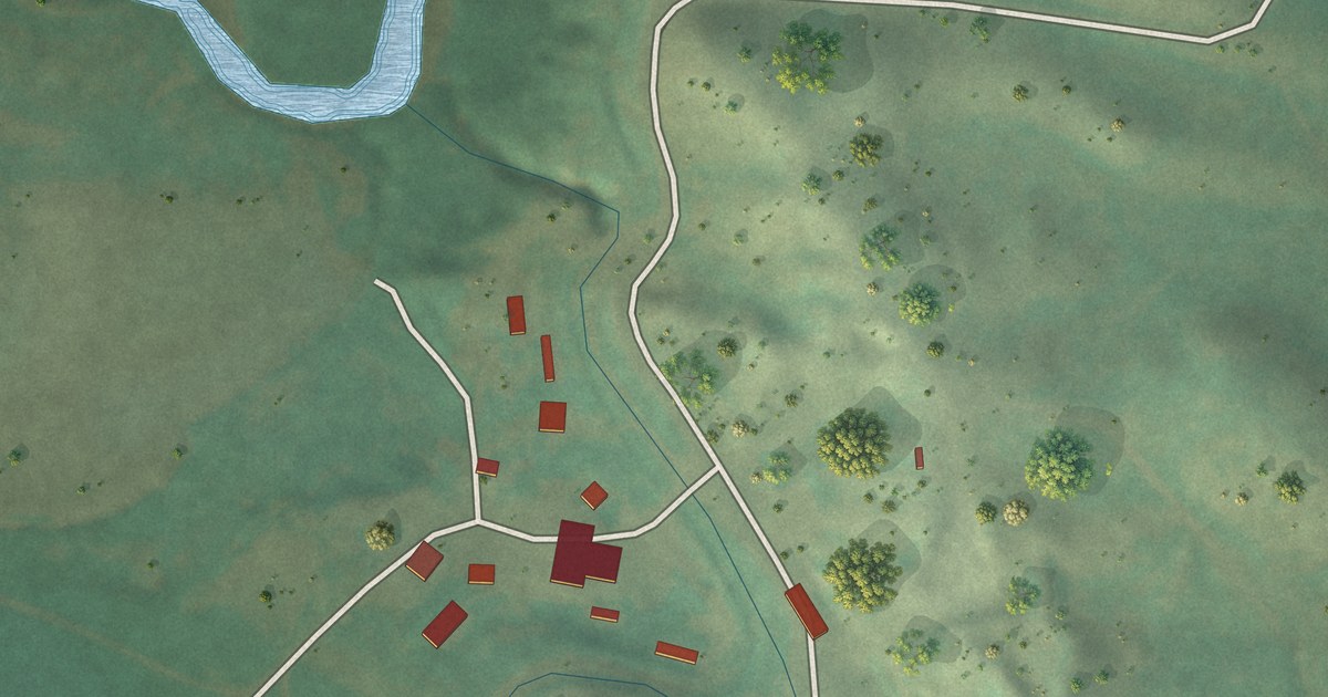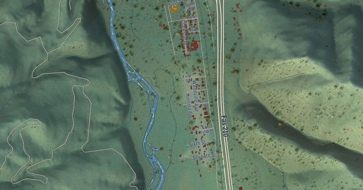
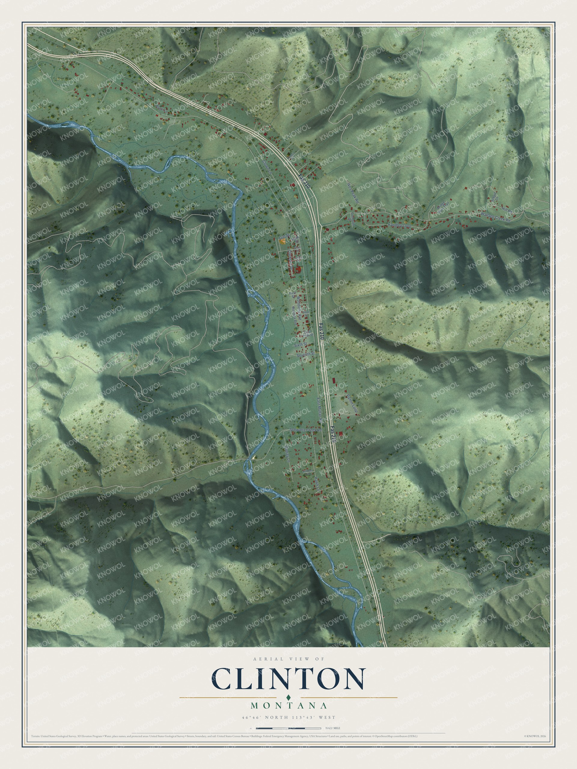
This beautifully detailed map of Clinton, Montana was created in 2026 using aerial imagery combined with modern topographical, census, street and landmark data. It's a modern aerial view of Clinton in Missoula County, Montana, that combines modern data with a vintage aesthetic. The roads feature printed names, and if you look closely you can find your exact house accurately shown in its correct location.
Explore an aerial view of Clinton, Montana
On this map you'll find Fas 210, East Mullan Road, Wallace Creek Road, Clown Lane, Schwartz Creek Road, Hawk Lane, Handley Loop, Pamin Loop, Woodville Avenue, Ikes Peak Road, Osprey Lane, Hill Road, and more. Each red shape is a building, so zoom in on the preview and look for yours.
Clinton has a story worth telling. Clinton started out in 1883 as Betters' Station, a stage station on the Mullan Road named for Austin Betters, a homesteader. Northern Pacific railroad men called it Wallace, but the Post Office Department would not take that name. At different times it was also called Pine Grove and Blossberg, and the Clinton post office opened in 1892. It grew into a mining and lumber town, and after ore was found in 1889 the Charcoal Mine yielded thousands of dollars worth of lead and silver. That's from the Montana place-names book by Roberta Cheney.
Clinton is a community in Missoula County. The Census Bureau counted 1,018 people here in 2020.
Take a closer look at the Clinton map
Names on this map
These names are printed on this map.
Streets and roads: Fas 210, East Mullan Road, Wallace Creek Road, Clown Lane, Schwartz Creek Road, Hawk Lane, Handley Loop, Pamin Loop, Woodville Avenue, Ikes Peak Road, Osprey Lane, Hill Road.
More street names, A to Z
Bogar Lane, Bridge Burn Trail, Clarkson Drive, Common Drive, Copper Street, East Fifth Street, First Street, Gold Street, Killdeer Lane, Lowe's Court, Montana Avenue, Scharf Lane, Seventh Street, Silver Street, Sixth Street, Stitt Street, Third Street.
See it on a wall
The Clinton map as a framed print. Swipe for more.


Created by KNOWOL in 2026. The buildings are small red shapes, the roads carry their printed names, and shaded relief shows the shape of the land. The title panel reads "AERIAL VIEW OF CLINTON, MONTANA" with 46°46' NORTH 113°43' WEST.
It looks right in a kitchen, an office or a den, and it's a gift for anyone who grew up in Clinton or moved away. Open the preview and find your street. See sizes and frames for the Clinton map.