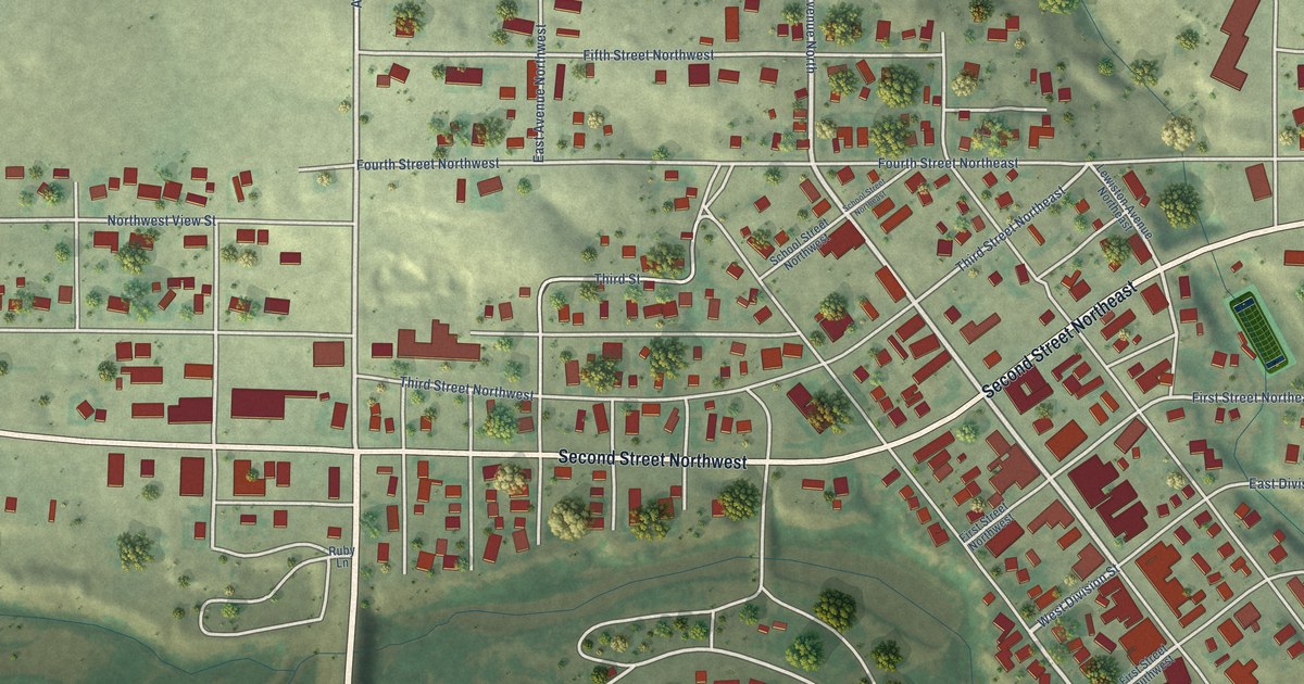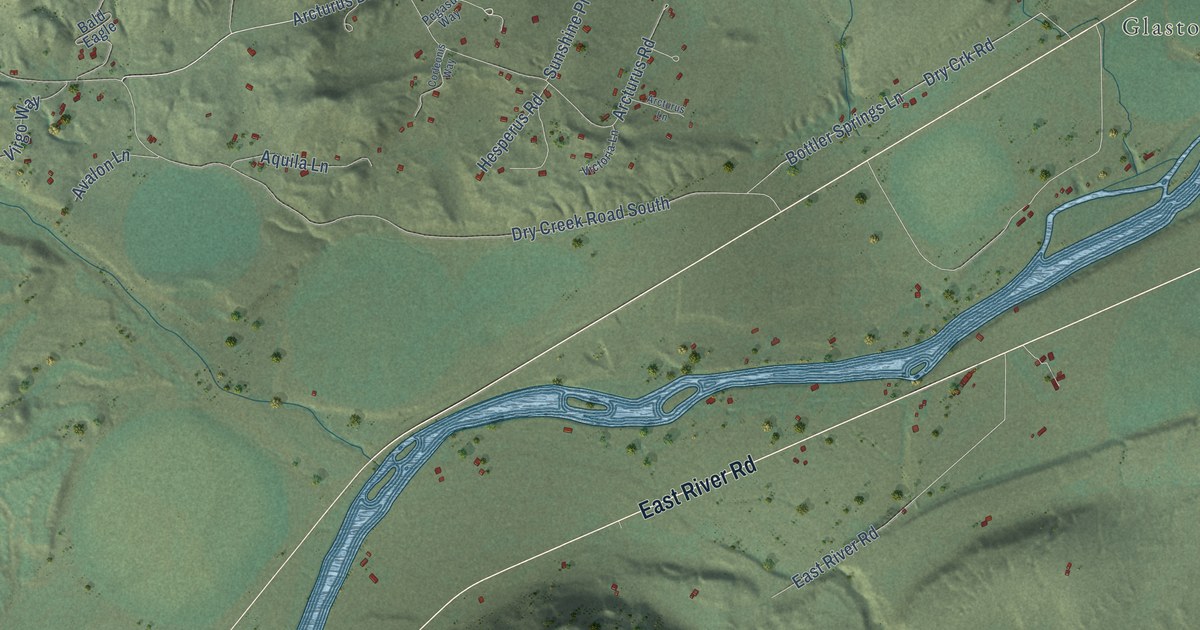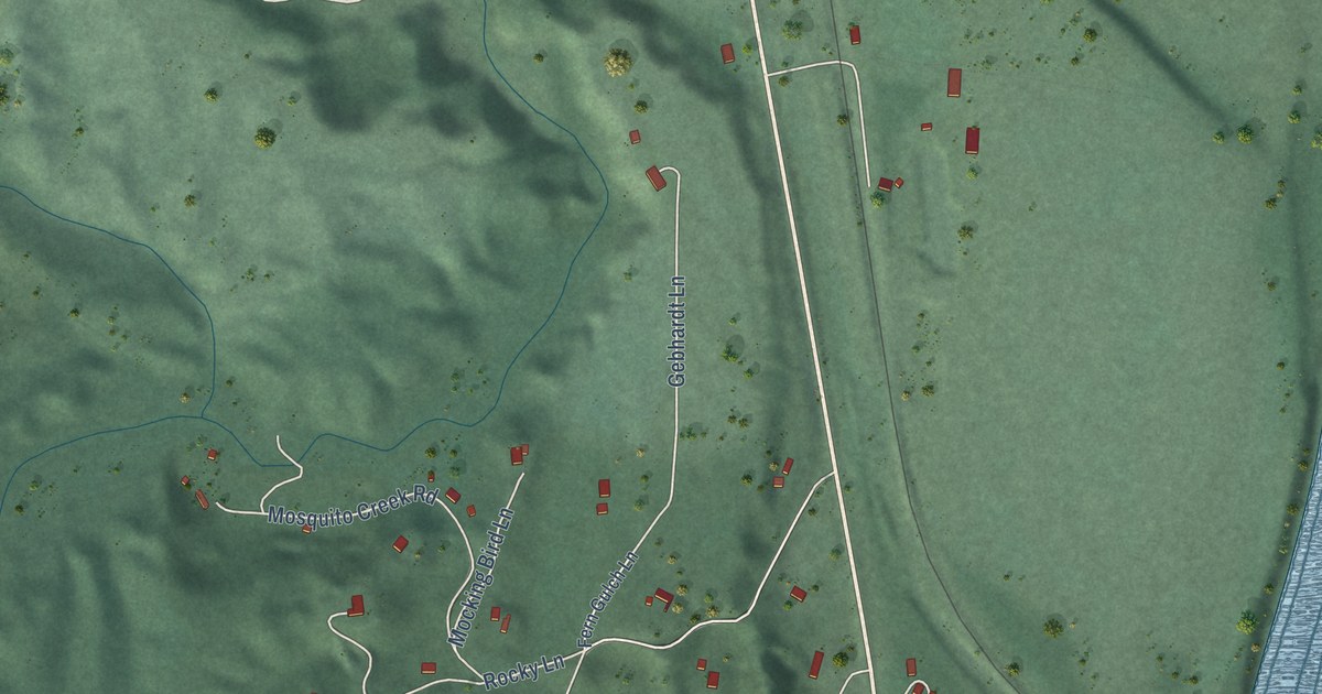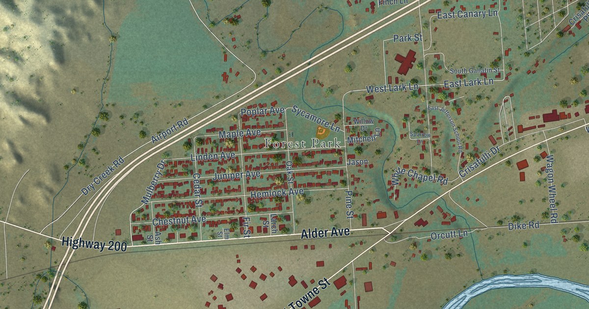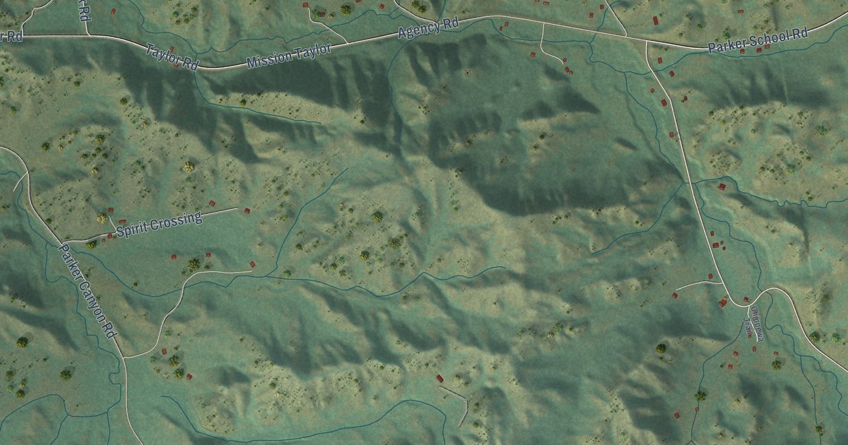
This beautifully detailed map of Parker School, Montana was created in 2026 using aerial imagery combined with modern topographical, census, street and landmark data. It's a modern aerial view of Parker School in Hill County, Montana, that combines modern data with a vintage aesthetic. The roads feature printed names, and if you look closely you can find your exact house accurately shown in its correct location.
Explore an aerial view of Parker School, Montana
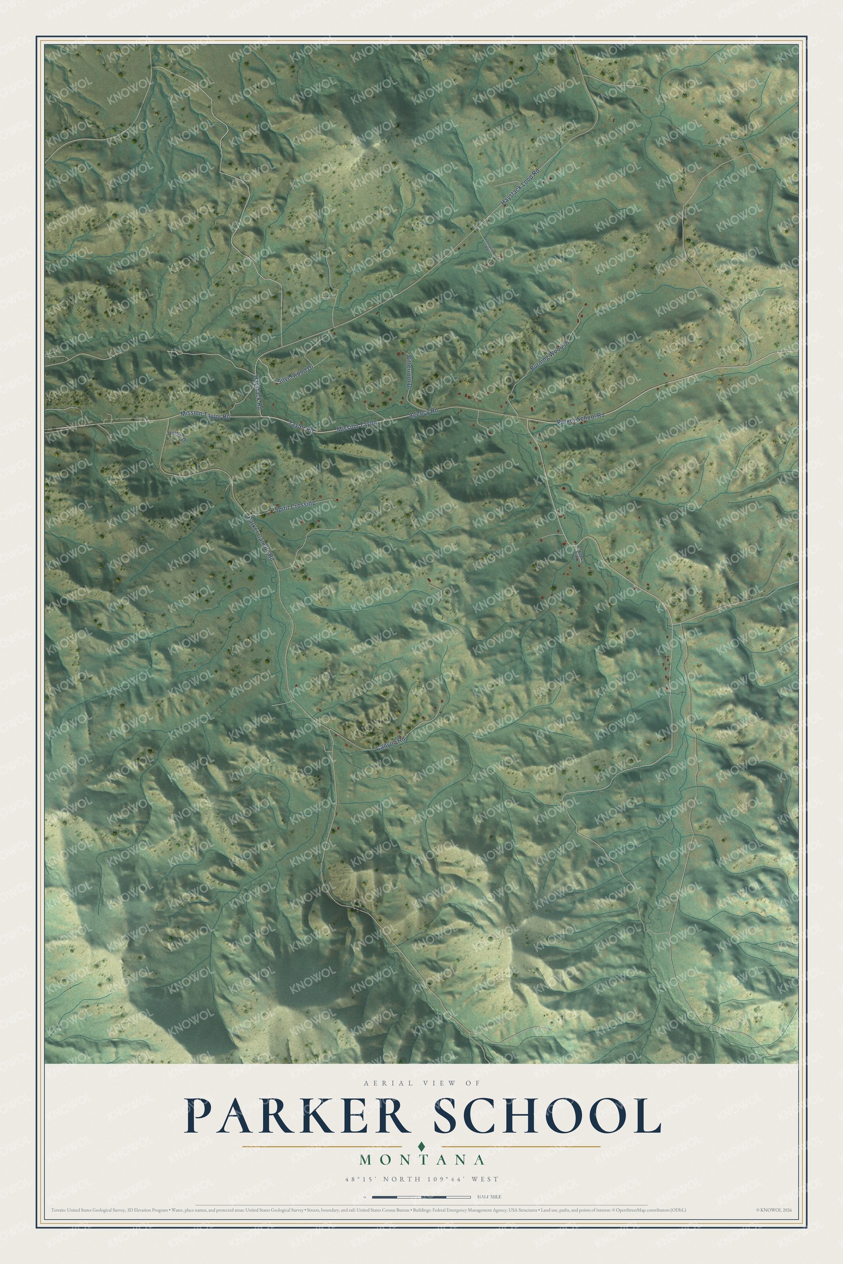
On this map you'll find Parker School Road, Haystack Road, Silverwood Drive, Mission Taylor, Parker Canyon Road, Agency Road, Haystack Loop Road, Taylor Road, Burning Wood Drive, Canyon Road, Bitterroot Drive, Mission Taylor Road, and more. Each red shape is a building, so zoom in on the preview and look for yours.
Every town has a first chapter, and Parker School is no exception. Charles Gopher, born in 1933, came from a traditional family and spoke no English when he started at Parker Day School. In the evenings, elders such as Shorty Young Boy, Chief Goes Out and Well Off Man gathered the children at one of their homes to teach them the songs and traditions of Cree culture, reminding them never to forget. Two of his teachers there, Mr. and Mrs. Swab, asked students to translate English into Cree so they could help the children who did not speak English. That's from the Stone Child College tribal history project.
Parker School is a community in Hill County. The Census Bureau counted 388 people here in 2020.
Take a closer look at the Parker School map
Names on this map
These names are printed on this map.
Streets and roads: Parker School Road, Haystack Road, Silverwood Drive, Mission Taylor, Parker Canyon Road, Agency Road, Haystack Loop Road, Taylor Road, Burning Wood Drive, Canyon Road, Bitterroot Drive, Mission Taylor Road.
More street names, A to Z
Chippewa Trail, Hilltop Drive, Spirit Crossing, Valleyview Road.
See it on a wall
The Parker School map as a framed print. Swipe for more.


Created by KNOWOL in 2026. The buildings are small red shapes, the roads carry their printed names, and shaded relief shows the shape of the land. The title panel reads "AERIAL VIEW OF PARKER SCHOOL, MONTANA" with 48°15' NORTH 109°44' WEST.
Hang it in the hallway, the office or the cabin, or give it to someone who left Parker School and still calls it home. Open the preview and look for a street you know. See sizes and frames for the Parker School map.