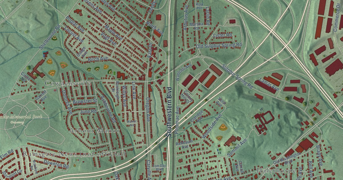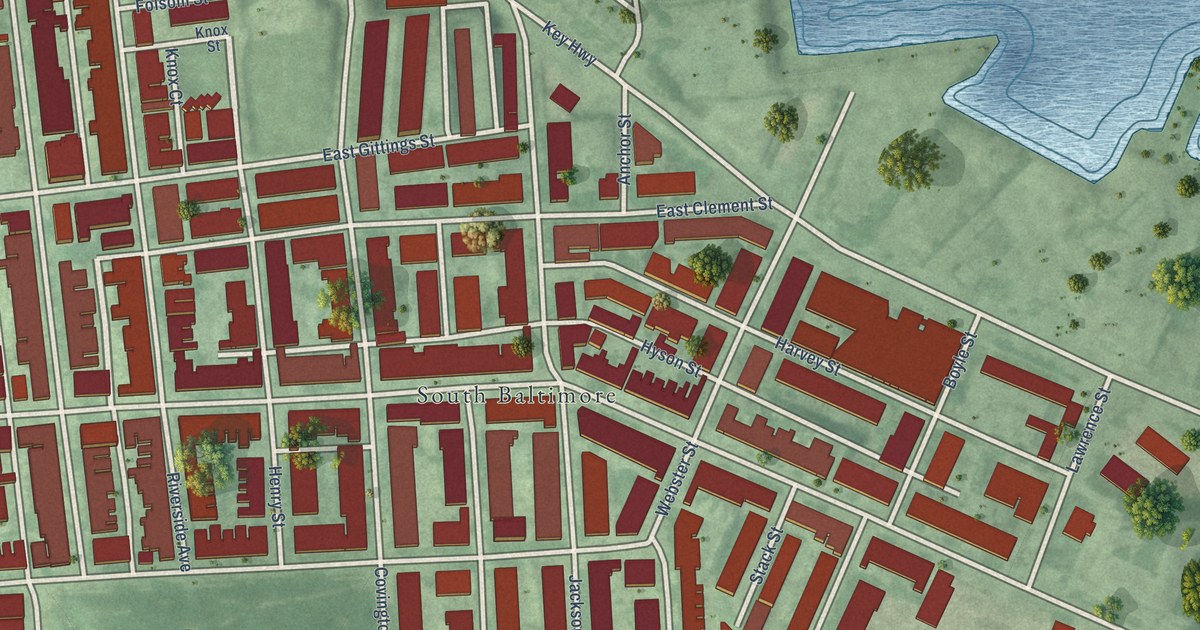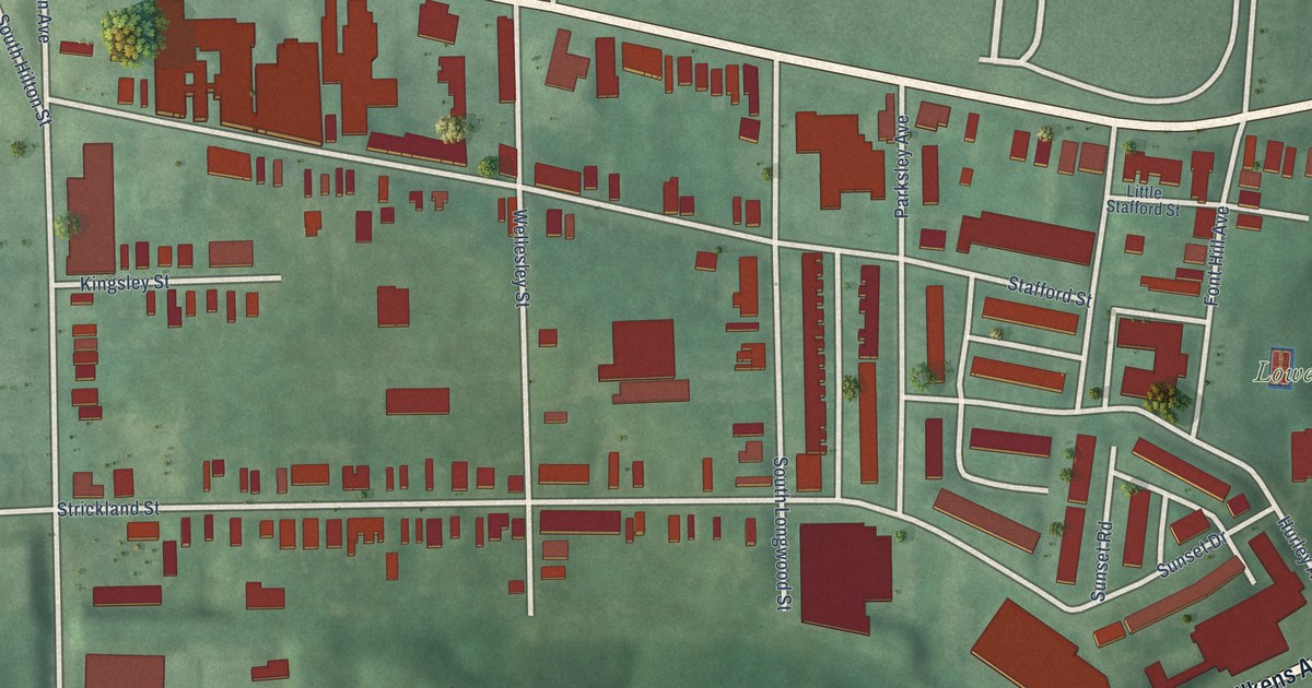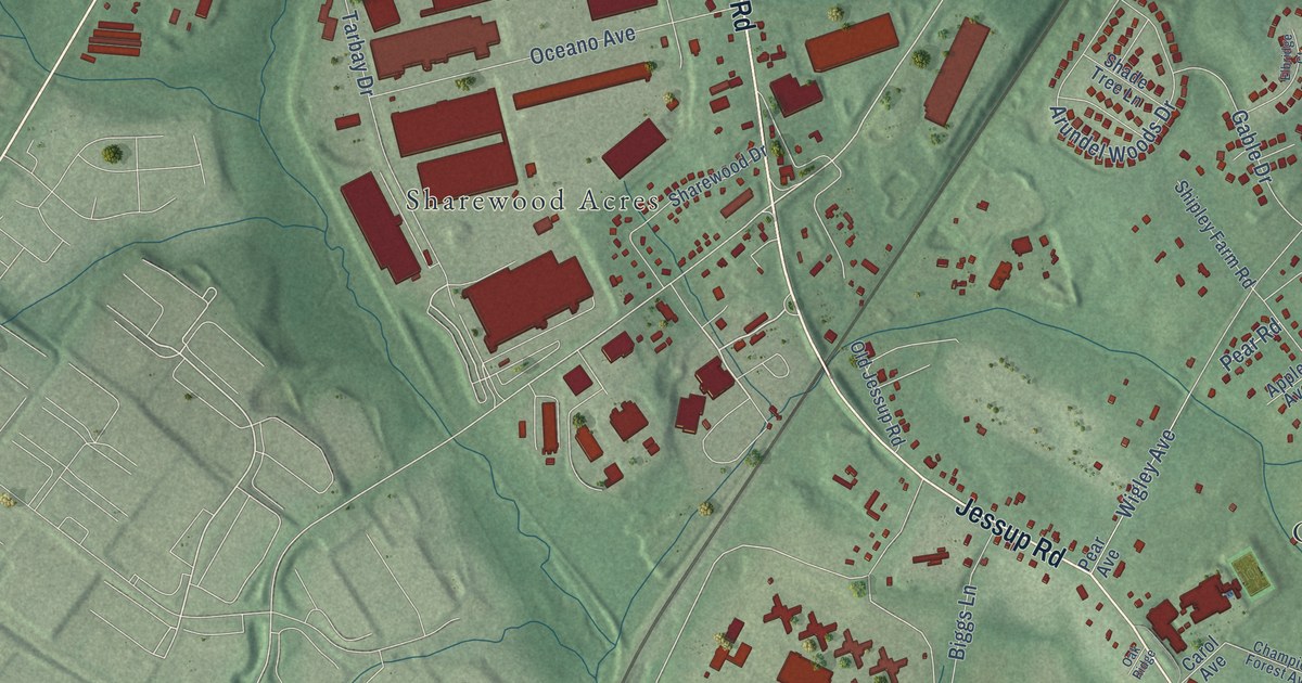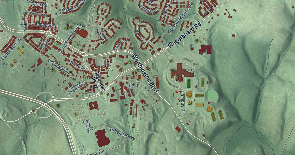
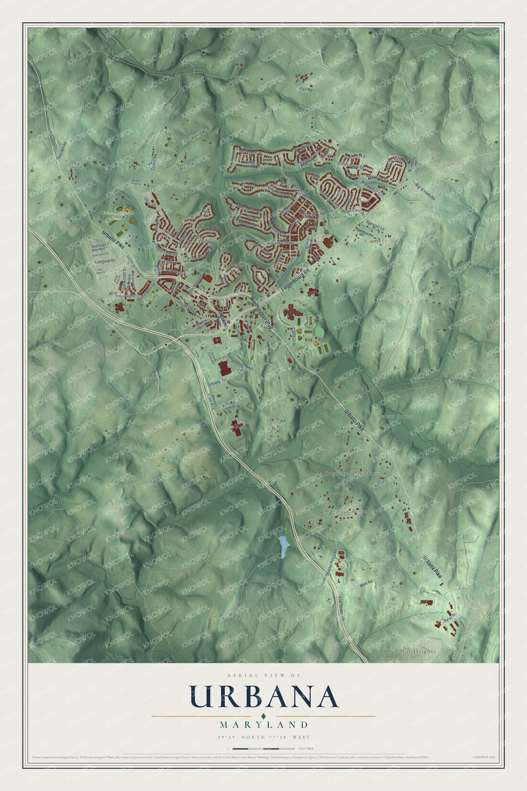
This beautifully detailed map of Urbana, Maryland was created in 2026 using aerial imagery combined with modern topographical, census, street and landmark data. It's a modern aerial view of Urbana in Frederick County, Maryland, that combines modern data with a vintage aesthetic. The roads feature printed names, and if you look closely you can find your exact house accurately shown in its correct location.
Explore an aerial view of Urbana, Maryland
On this map you'll find Urbana District Park, Shel-Mar Heights, Centerville, Sugarloaf Meadows, Gibralter Acres, Hillview Acres, Fingerboard Road, Worthington Boulevard, Urbana Pike, Sugarloaf Parkway, Sprigg Street, Belvedere Drive, and more. Each red shape is a building, so zoom in on the preview and look for yours.
Urbana has a story worth telling. The Maryland Historical Trust puts it this way: "Urbana's founding is generally keyed to the establishment of Zion Church in 1802, but its growth was slow and occurred principally between about 1830 and 1900." The village grew up along the turnpike between Frederick and Georgetown as a market center for the farms around it.
Urbana is a community in Frederick County. The Census Bureau counted 13,304 people here in 2020.
Take a closer look at the Urbana map
Names on this map
These names are printed on this map.
Places: Urbana District Park, Shel-Mar Heights, Centerville, Sugarloaf Meadows, Gibralter Acres and Hillview Acres.
Streets and roads: Fingerboard Road, Worthington Boulevard, Urbana Pike, Sugarloaf Parkway, Sprigg Street, Belvedere Drive, Carriage Hill Drive, Doctor Perry Road, Tabler Road, Urbana Parkway, Ball Road, Bealls Farm Road.
More street names, A to Z
Addison Woods Road, Amelung Street, Atterbury Lane, Bealls Farm Lane, Belgrave Circle, Bennett Creek Avenue, Bennett Creek Boulevard, Bennett Creek Drive, Big Woods Road, Bishopgate Drive, Bothwell Lane, Bowling Green Drive, Braidwood Drive, Braveheart Circle, Brien Place, Brigadoon Place, Broadstone Street, Brushfield Drive, Bush Creek Circle, Bush Creek Drive, Byron Circle, Caldonia Drive, Campus Drive, Carriage Hill Street, Celtic Way, Centennial Way, Charterhouse Road, Clendenin Way, Denison Street, Elgin Lane, Ethan Ridge Drive, Fire Tower Road, Flatwoods Drive, Fulham Road, Glasgow Way, Harris Street, Hendry Terrace, Hoburn Place, Ijamsville Road, John Simmons Street, Kendall Drive, Kenway Lane, Kinnerton Place, Knott Lane, Lew Wallace Road, Lew Wallace Street, Longleaf Drive, Mackall Street, Mott Road, Notting Hill Drive, Penrose Street, Red Sage Lane, Red Sage Way North, Reels Mill Road, Royal Crest Circle, Royal Crest Drive, Satinwood Drive, Seward Lane, Seward Street, Shady Pines Drive, Shady Pines Street, Shafers Mill Drive, Shawfield Lane, Shetland Court, Silver Laurel Lane, Singleton Terrace, Spencer Lane, Spicebush Drive, Sprigg Street South, Spring Hollow Lane, Stone Barn Drive, Sweet Briar Lane, Tabard Lane, Thompson Drive, Timber Green Drive, Tottenham Street, Travener Circle, Triton Lane, Triton Street, Tyler Place, Urbana Church Road, Urbana Terrace, Whitmore Lane, Wyndham Drive.
See it on a wall
The Urbana map as a framed print. Swipe for more.


Created by KNOWOL in 2026. The buildings are small red shapes, the roads carry their printed names, and shaded relief shows the shape of the land. The title panel reads "AERIAL VIEW OF URBANA, MARYLAND" with 39°19' NORTH 77°20' WEST.
It looks right in a kitchen, an office or a den, and it's a gift for anyone who grew up in Urbana or moved away. Open the preview and find your street. See sizes and frames for the Urbana map.