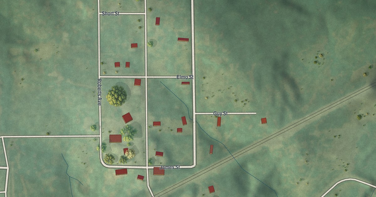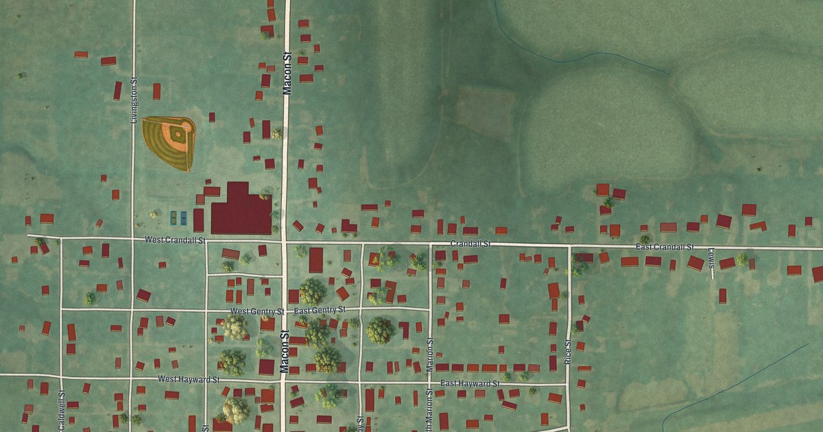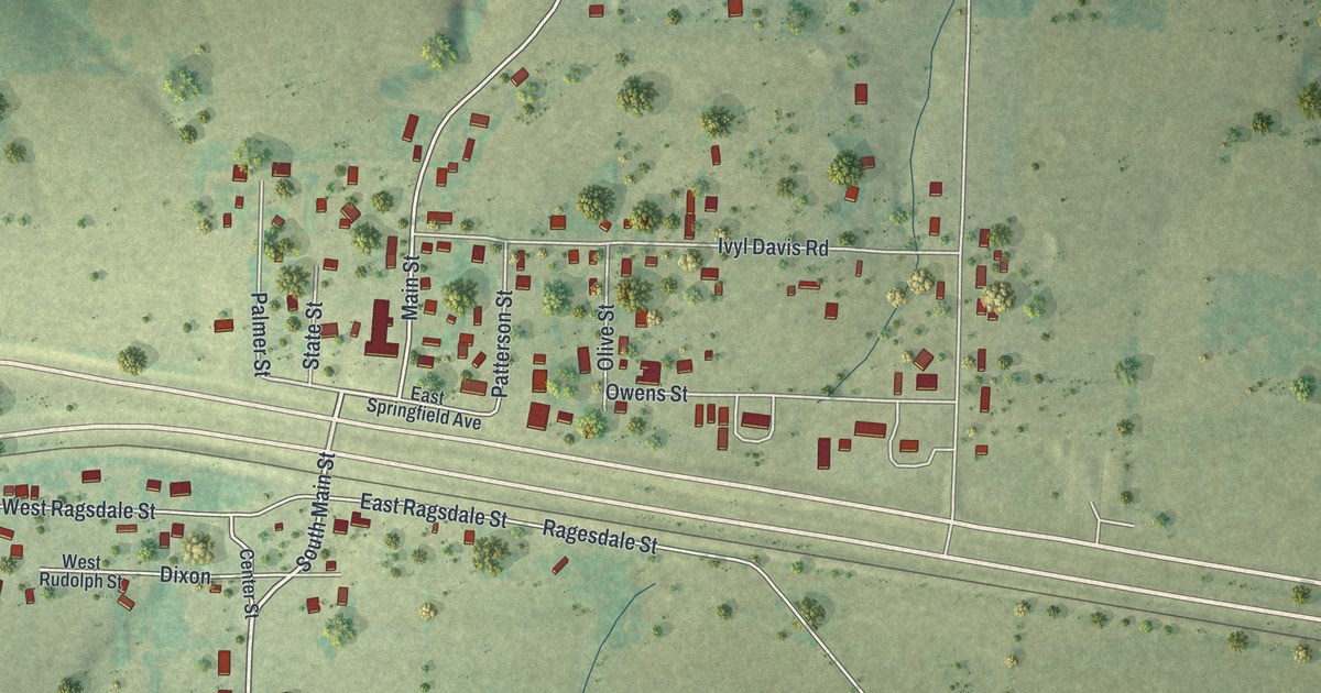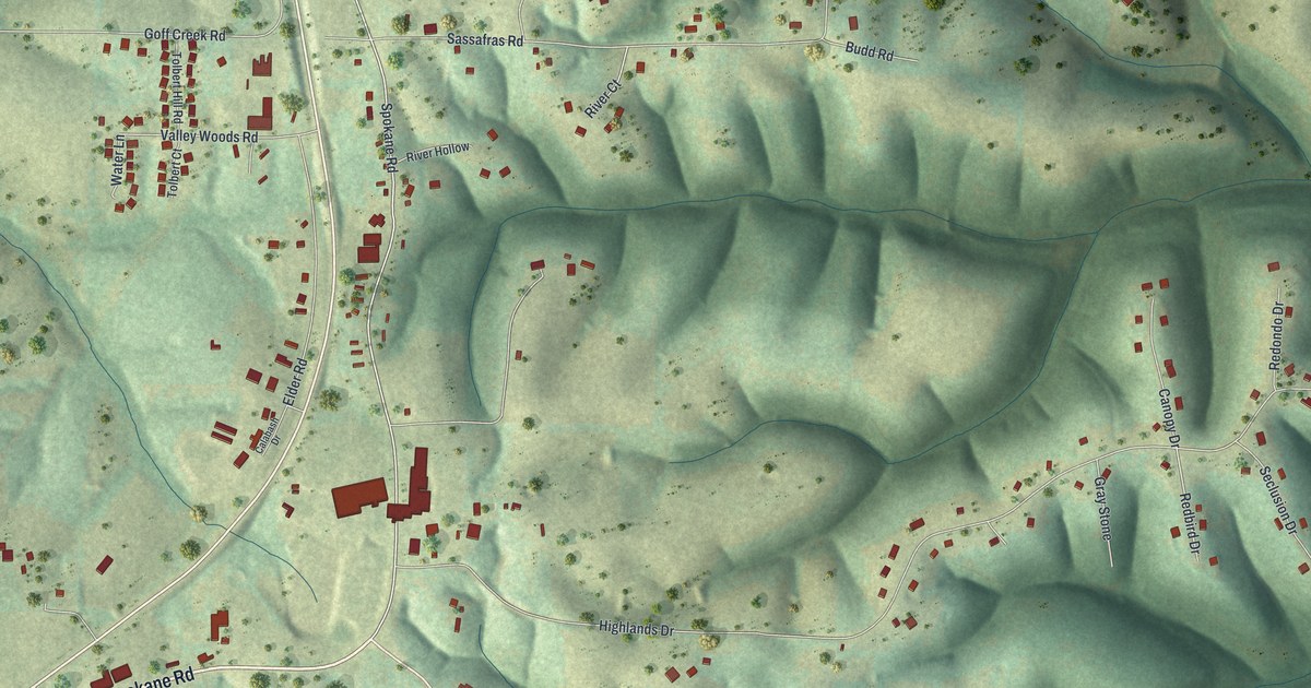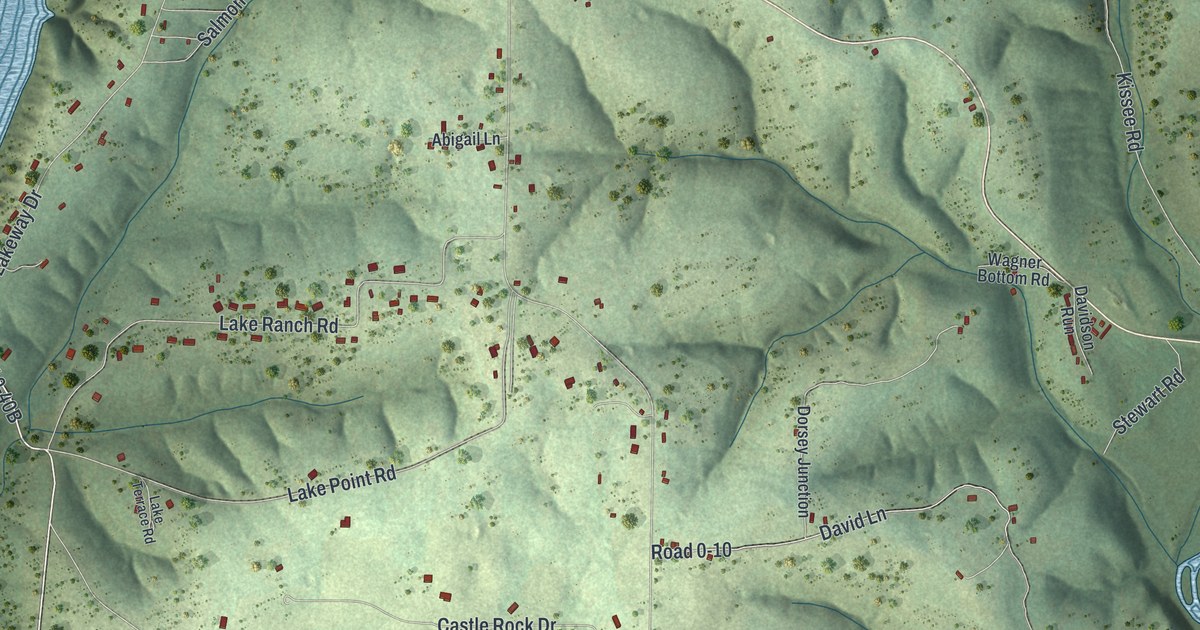
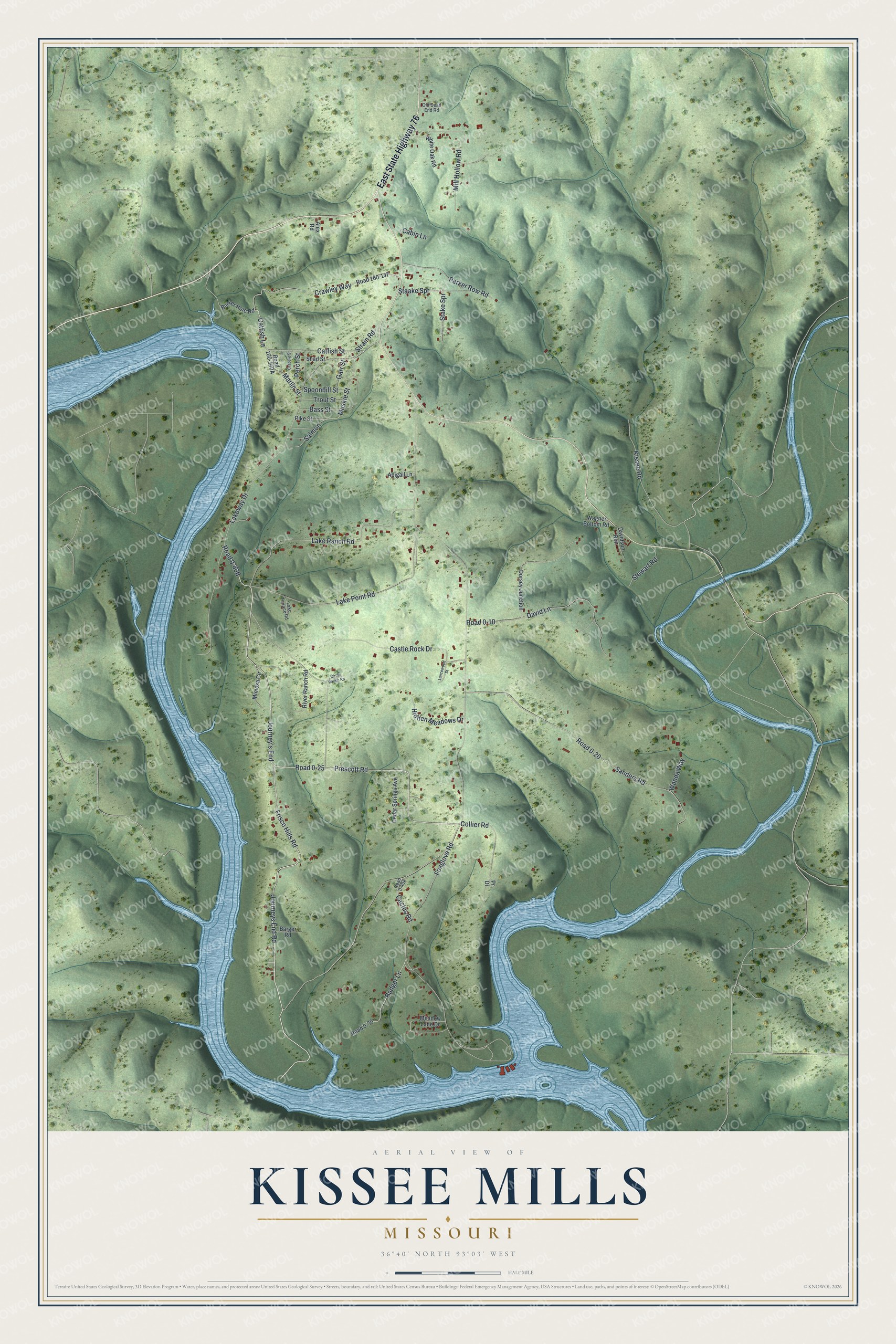
This beautifully detailed map of Kissee Mills, Missouri was created in 2026 using aerial imagery combined with modern topographical, census, street and landmark data. It's a modern aerial view of Kissee Mills in Taney County, Missouri, that combines modern data with a vintage aesthetic. The roads feature printed names, and if you look closely you can find your exact house accurately shown in its correct location.
Explore an aerial view of Kissee Mills, Missouri
On this map you'll find East State Highway 76, Frisco Hills Road, Journeys End Road, Road 0-40B, Prescott Road, Road 0-25, Muskie Street, Catfish Lane, Lake Ranch Road, Lakeway Drive, Foxglove Road, Road 0-20, and more. Each red shape is a building, so zoom in on the preview and look for yours.
Kissee Mills has a story worth telling. In 1881 Kissee Mills was a settlement of 50 people in Swan township, five miles east of Forsyth, where Beaver Creek furnished excellent water power. A. C. Kissee and Son kept the general store, Kissee and McHaffie ran the flour mill, and Arter Kissee was the postmaster. Cotton, produce and livestock were shipped out, and the mail came once a week. That's from the Missouri State Gazetteer.
Kissee Mills is a community in Taney County. The Census Bureau counted 1,023 people here in 2020.
Take a closer look at the Kissee Mills map
Names on this map
These names are printed on this map.
Streets and roads: East State Highway 76, Frisco Hills Road, Journeys End Road, Prescott Road, Road 0-25, Muskie Street, Catfish Lane, Lake Ranch Road, Lakeway Drive, Foxglove Road, Road 0-20, Sanders Road.
More street names, A to Z
Abigail Lane, Alex Road, Badger Lane, Barger Road, Barker Hole Road, Bass Street, Cabin Lane, Cactus Road, Castle Rock Drive, Catfish Street, Cedar Springs Avenue, Circle Ranch Road, Collier Road, Crappie Street, Crawley Way, David Lane, Davidson Run, Dorsey Junction, Garr Street, Hidden Meadows Drive, Journey's End, Kissee Road, Lake Point Road, Lake Terrace Road, Lancewood Street, Marlin Street, Meadow Lane Drive, Mill Hollow Road, Mimosa Circle, Old Dead End Road, Parker Row Road, Perch Street, Pike Street, Pr Drive, River Ranch Road, Road 0-10, Road 0-30, Road 160-147, Salmon, Shad Street, Spoonbill Street, Staake Spr, Stake Spr, Stewart Road, Strain Road, Trout Street, Wagner Bottom Road, Wanda Way, White Oak Road.
See it on a wall
The Kissee Mills map as a framed print. Swipe for more.


Created by KNOWOL in 2026. The buildings are small red shapes, the roads carry their printed names, and shaded relief shows the shape of the land. The title panel reads "AERIAL VIEW OF KISSEE MILLS, MISSOURI" with 36°40' NORTH 93°03' WEST.
It looks right in a kitchen, an office or a den, and it's a gift for anyone who grew up in Kissee Mills or moved away. Open the preview and find your street. See sizes and frames for the Kissee Mills map.