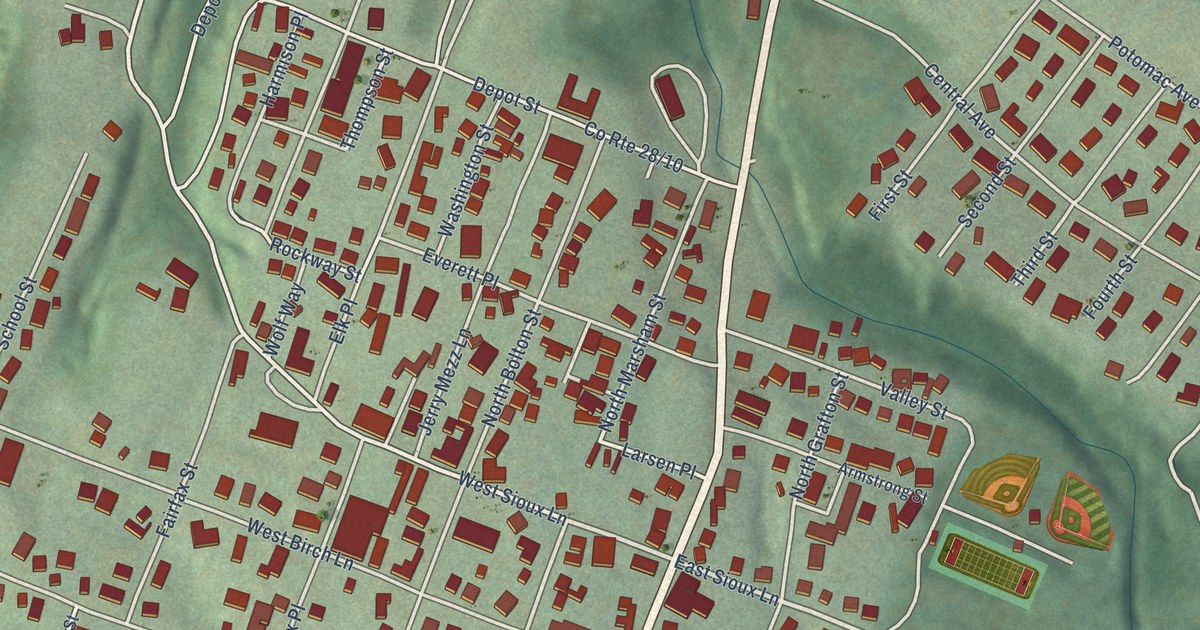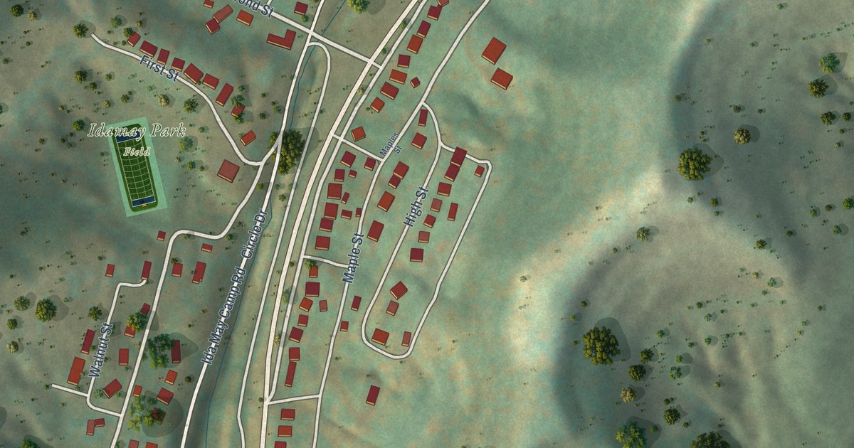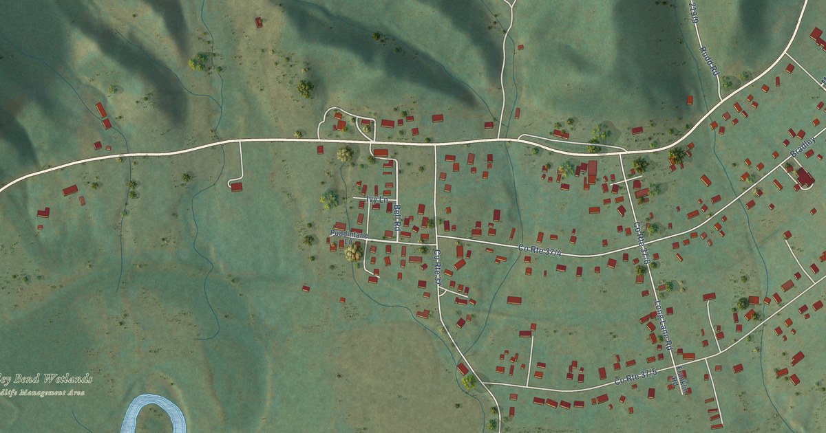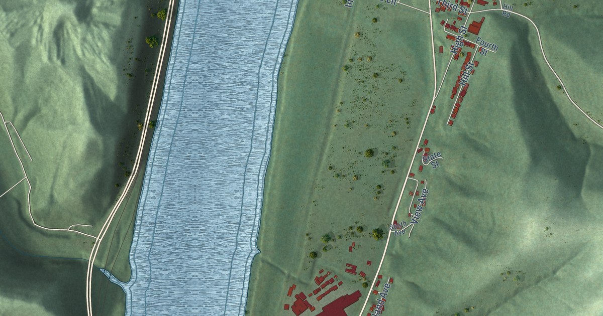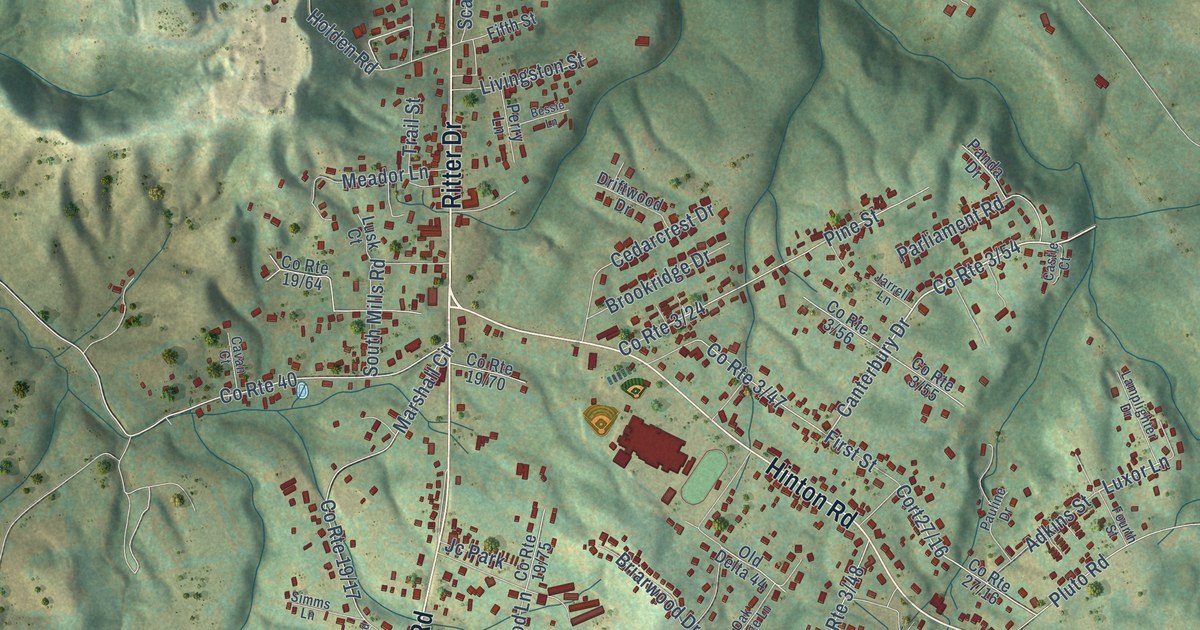
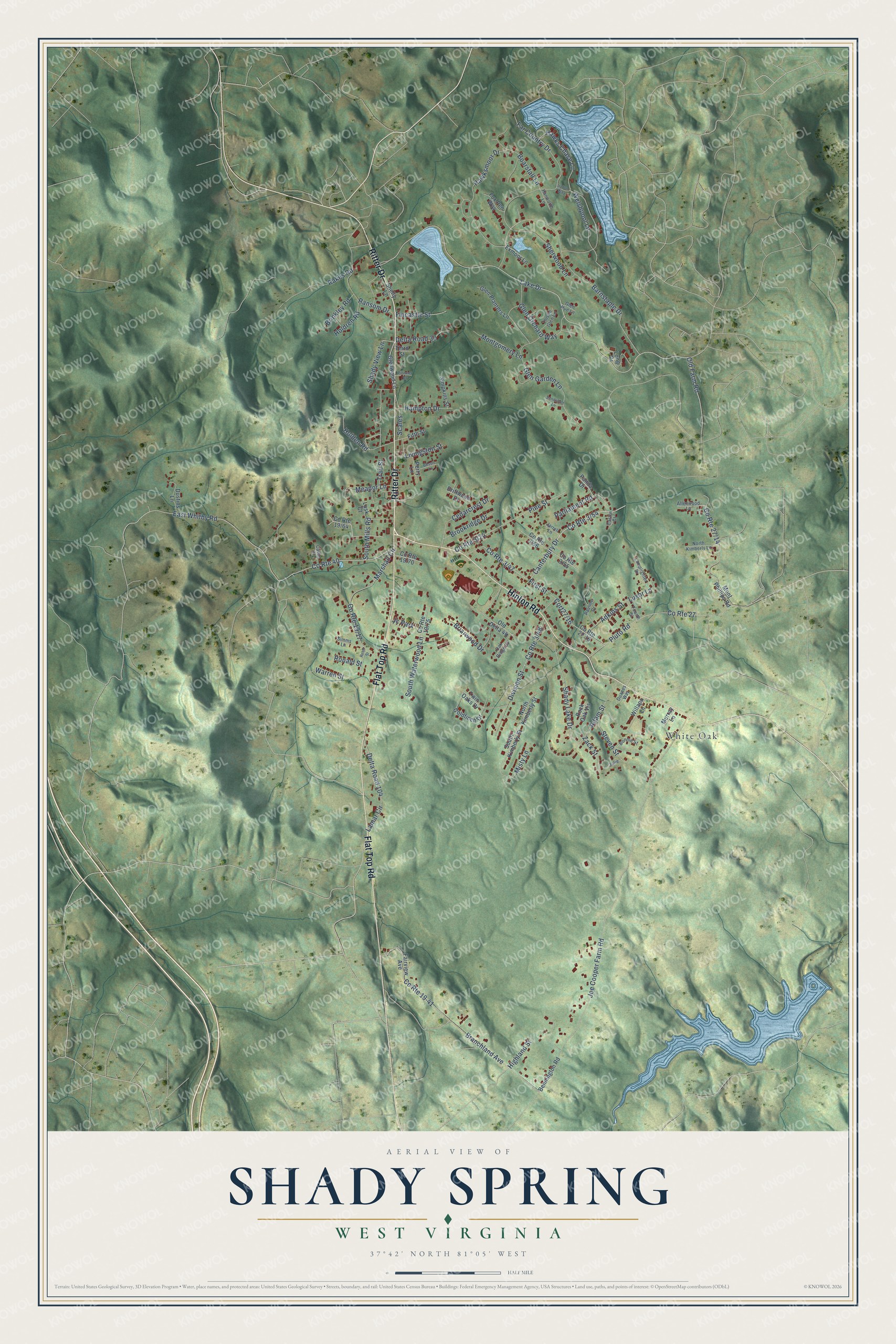
This beautifully detailed map of Shady Spring, West Virginia was created in 2026 using aerial imagery combined with modern topographical, census, street and landmark data. It's a modern aerial view of Shady Spring in Raleigh County, West Virginia, that combines modern data with a vintage aesthetic. The roads feature printed names, and if you look closely you can find your exact house accurately shown in its correct location.
Explore an aerial view of Shady Spring, West Virginia
On this map you'll find White Oak, Hinton Road, Flat Top Road, Ritter Drive, Lake Drive, Canterbury Drive, Shady View Lane, Cort27/16, East Whitby Road, Luxor Lane, Shady Lake Drive, Joe Cooper Farm Road, and more. Each red shape is a building, so zoom in on the preview and look for yours.
Every town has a first chapter, and Shady Spring is no exception. Future president Rutherford B. Hayes camped at Shady Spring with his Ohio regiment in April 1862. In his diary he wrote that a large spring gave the place its name, with water that gushed out, ran on the surface a few rods and sank back into the earth. The cavalry horses were turned loose on the new spring grass around the camp. That's from the Diary and Letters of Rutherford B. Hayes.
Shady Spring is a community in Raleigh County. The Census Bureau counted 3,169 people here in 2020.
Take a closer look at the Shady Spring map
Names on this map
These names are printed on this map.
Places: White Oak and Jc Park.
Streets and roads: Hinton Road, Flat Top Road, Ritter Drive, Lake Drive, Canterbury Drive, Shady View Lane, East Whitby Road, Luxor Lane, Shady Lake Drive, Joe Cooper Farm Road, Barnstaple Drive, County Route 19-41.
More street names, A to Z
Adam Street, Adkins Street, Allenwood Lane, Bennington Road, Bessie Lane, Boarstall Lane, Bonnie Street, Branchland Avenue, Briarwood Drive, Brinkley Road, Brookridge Drive, Castle Court, Cavan Court, Cedarcrest Drive, County Route 27, County Route 40, Delta Road 30, Delta Road 104, Division Street, Driftwood Drive, Duanes Way, Dustins Lane, Exmoor Lane, Fairview Avenue, Far Country Drive, Fifth Street, Fincastle Street, First Street, Fourth Street, Fox Pen Way, Glen Garden Lane, Glen Hue Lane, Glen Orchard Way, Glen Planters Lane, Glenwood Lane, Goldfinch Drive, Hampton Drive, Hanworth Lane, Hawks Chase Lane, Hawksmoor Drive, Highland Street, Holden Road, Holdren Road, Jarrell Lane, Julie, Lamar Circle, Lamplighter Drive, Livingston Street, Long Drive, Lusk Court, Marshall Circle, Meador Lane, Misty Lane, Montgomery Lane, Mont Phillips Road, Murray Lane, North Kimberly Lane, North Kimberly Street, Oak Ridge Lane, Old Delta 44, Old Farm Road, Panda Drive, Parliament Road, Pauline Drive, Perry Lane, Pine Street, Pioneer Drive, Pluto Road, Rakes Road, Ransom Drive, Reed Street, Rock Oak Vis, Ronald Street, Sandsfoot Lane, Scales, Shelly Lane, Sherwood Lane, Simms Lane, Simpkins Street, South Kimberly Street, South Mills Road, South Waterwood Lane, Steven Street, Third Street, Thistle Glen Lane, Trail Street, Twin Oaks Drive, Upton Way, Warren Street, Welshpool Lane, Willapa Lane, Zack Street.
See it on a wall
The Shady Spring map as a framed print. Swipe for more.


Created by KNOWOL in 2026. The buildings are small red shapes, the roads carry their printed names, and shaded relief shows the shape of the land. The title panel reads "AERIAL VIEW OF SHADY SPRING, WEST VIRGINIA" with 37°42' NORTH 81°05' WEST.
Hang it in the hallway, the office or the cabin, or give it to someone who left Shady Spring and still calls it home. Open the preview and look for a street you know. See sizes and frames for the Shady Spring map.