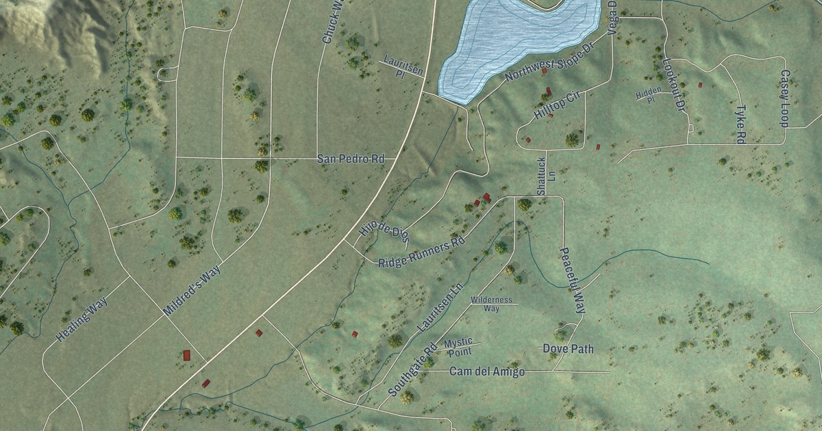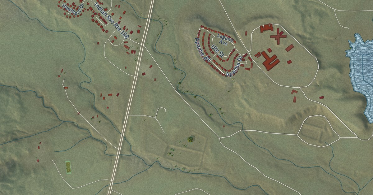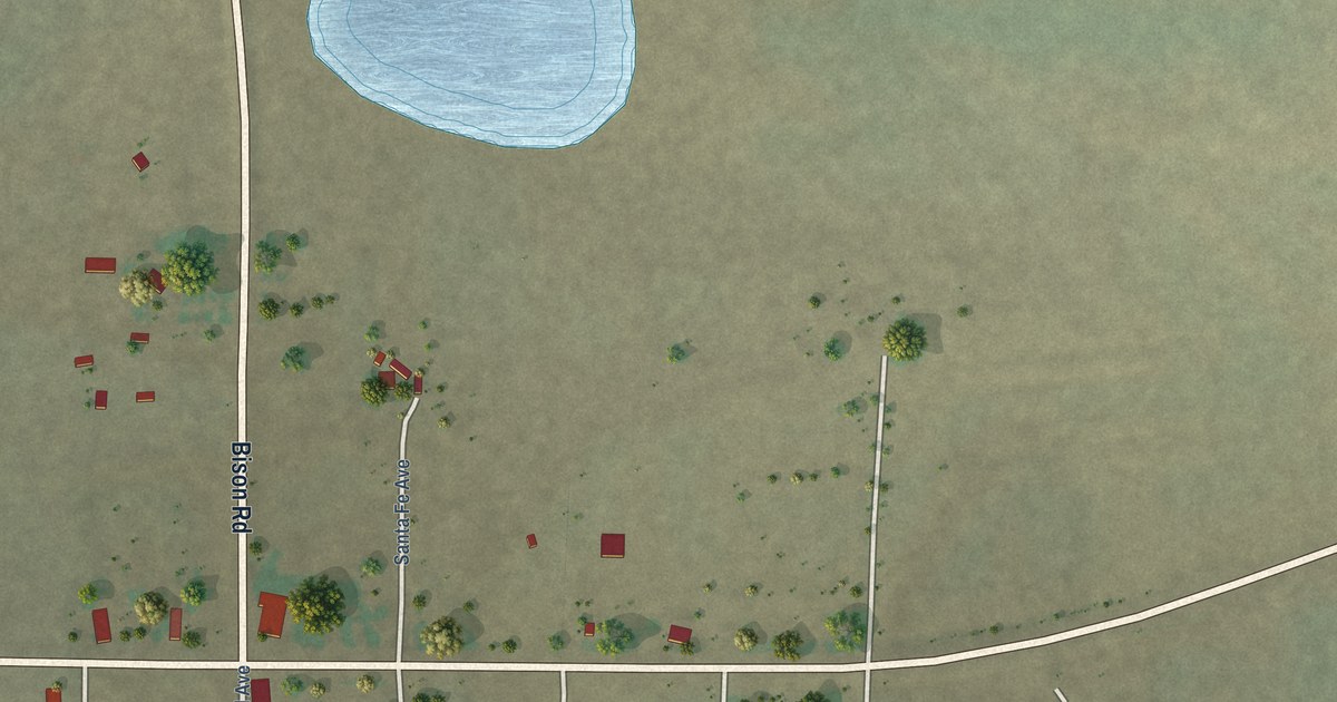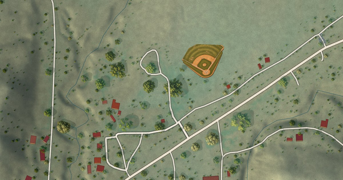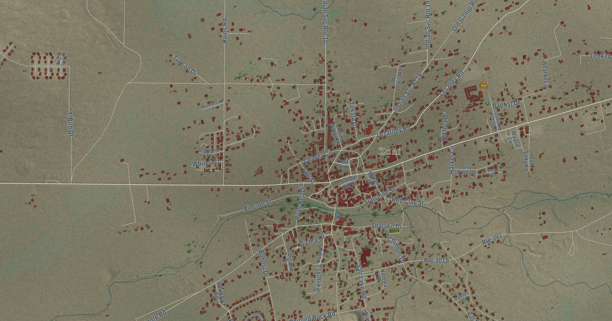
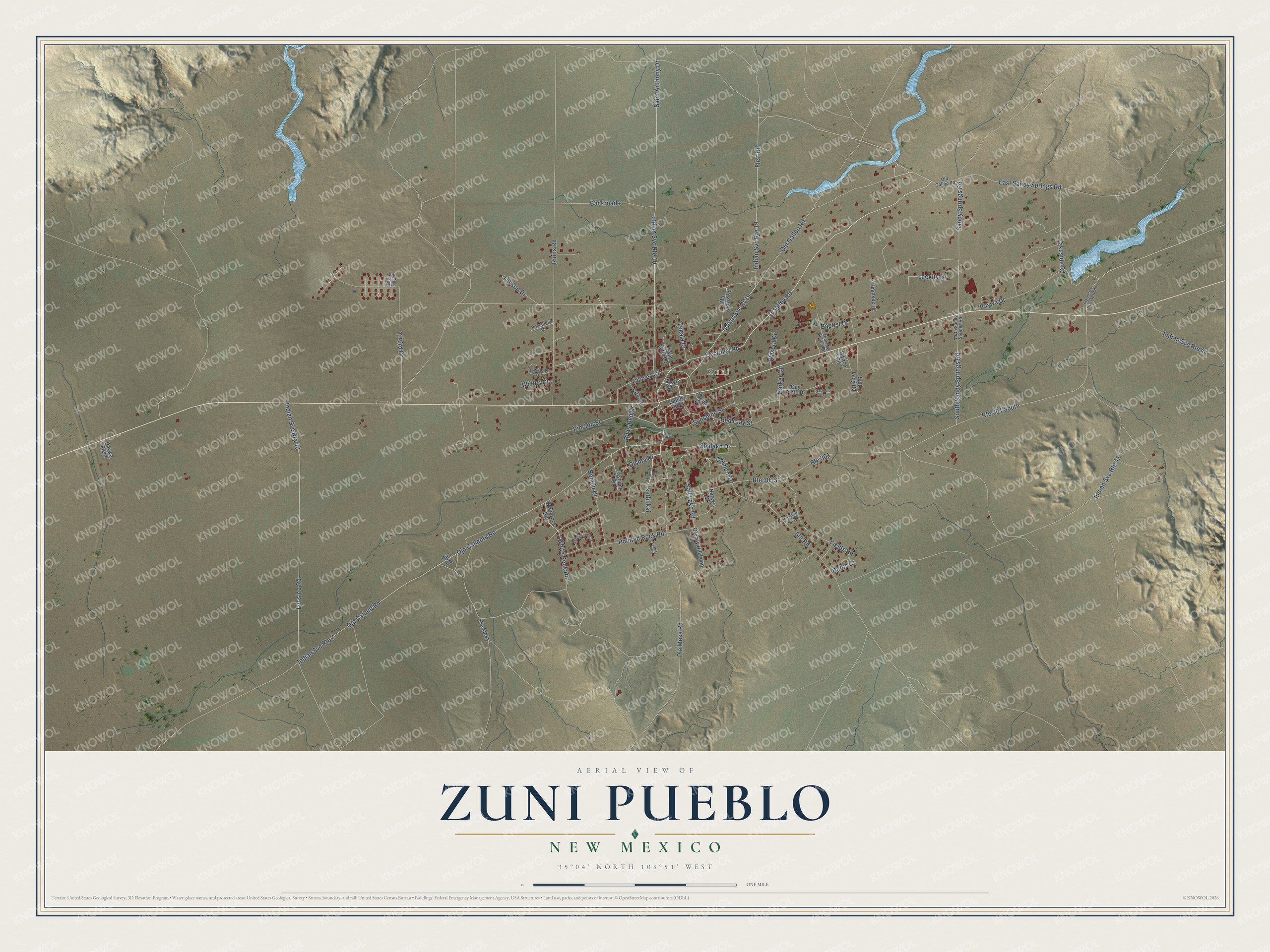
This beautifully detailed map of Zuni Pueblo, New Mexico was created in 2026 using aerial imagery combined with modern topographical, census, street and landmark data. It's a modern aerial view of Zuni Pueblo in McKinley County, New Mexico, that combines modern data with a vintage aesthetic. The roads feature printed names, and if you look closely you can find your exact house accurately shown in its correct location.
Explore an aerial view of Zuni Pueblo, New Mexico
On this map you'll find Zuni, Lesalley Road, Lesarlley Road, Pincion Street, Chavez Circle, Old Gallup Road, Ojo Caliente Road, East Sandy Springs Road, Ojo Calient Road, Pia Mesa Road, Pointed Rock Road, Saint Anthony Drive, and more. Each red shape is a building, so zoom in on the preview and look for yours.
Every town has a first chapter, and Zuni Pueblo is no exception. Zuni farmers once grew their crops in many adobe-walled waffle gardens, a way of irrigating that was the Zuni people's own. The gardens grew less important after work began on a large irrigation system in 1904, but families kept baking in outdoor hornos, or ovens, all through the village. Present-day Zuni stands on the site of the old Zuni town of Halona. That's from the National Park Service.
Zuni Pueblo is a community in McKinley County. The Census Bureau counted 6,176 people here in 2020.
Take a closer look at the Zuni Pueblo map
Names on this map
These names are printed on this map.
Places: Zuni.
Streets and roads: Lesalley Road, Lesarlley Road, Pincion Street, Chavez Circle, Old Gallup Road, Ojo Caliente Road, Indian Svc Rt 19, Indian Svc Route 2, East Sandy Springs Road, Ojo Calient Road, Pia Mesa Road, Pointed Rock Road.
More street names, A to Z
Backroads, Baptist Drive, Bobelu Drive, Bowannie Drive, Chimoni Drive, Dishta Drive, Eagle Tail Lane, Fields Road, First Road, Granite Drive, Greasy Hill Loop, Guy Pinto Drive, Harker Circle, Hebadin Road, Horseshoe Circle, Indian Svc Route 10, Indian Svc Route 19, Indian Svc Route 40, Indian Svc Route 42, Indian Svc Route 44, Indian Svc Route 301 North, Iule Street, Lakeside Road, Lasiloo Street, Lastiano Drive, Leekity Drive, Lunsico Road, Malani Street, Ma Lewis Road, Nastacio Drive, Natewa Drive, North Sandy Springs Road, Ojo Road, Old Gallop Road, Paywa Drive, Paywa Field, Pia Mesa, Red Clay Street, River Bed Drive, Romancito Drive, Route 301, Route 301 South, Rufus Court, Ruins Road, Saint Anthony Drive, Salt Lady Road, Salt Lake Road, Sandy Hill Street, Sandy Springs Road, Shalako Drive, Silt Road, South Sandy Springs Road, Sunshine Street, T-Bird Drive, Tekala Drive, Tsethlikai, Tucson Drive, Twin Buttes Drive, Vacit Street, Waseta Drive, Weahkee Drive, White Rock Road, Whiterock Road, Whites Court, Wyaco Circle, Zuni Mid School Drive.
See it on a wall
The Zuni Pueblo map as a framed print. Swipe for more.


Created by KNOWOL in 2026. The buildings are small red shapes, the roads carry their printed names, and shaded relief shows the shape of the land. The title panel reads "AERIAL VIEW OF ZUNI PUEBLO, NEW MEXICO" with 35°04' NORTH 108°51' WEST.
Hang it in the hallway, the office or the cabin, or give it to someone who left Zuni Pueblo and still calls it home. Open the preview and look for a street you know. See sizes and frames for the Zuni Pueblo map.