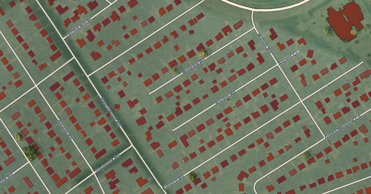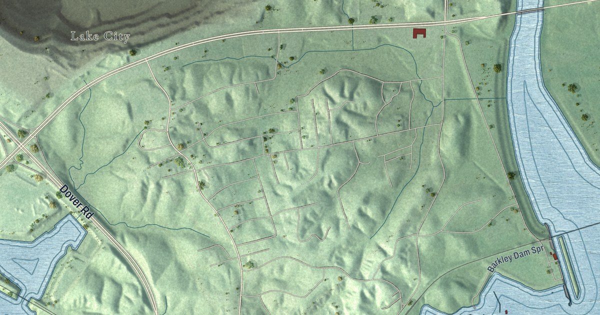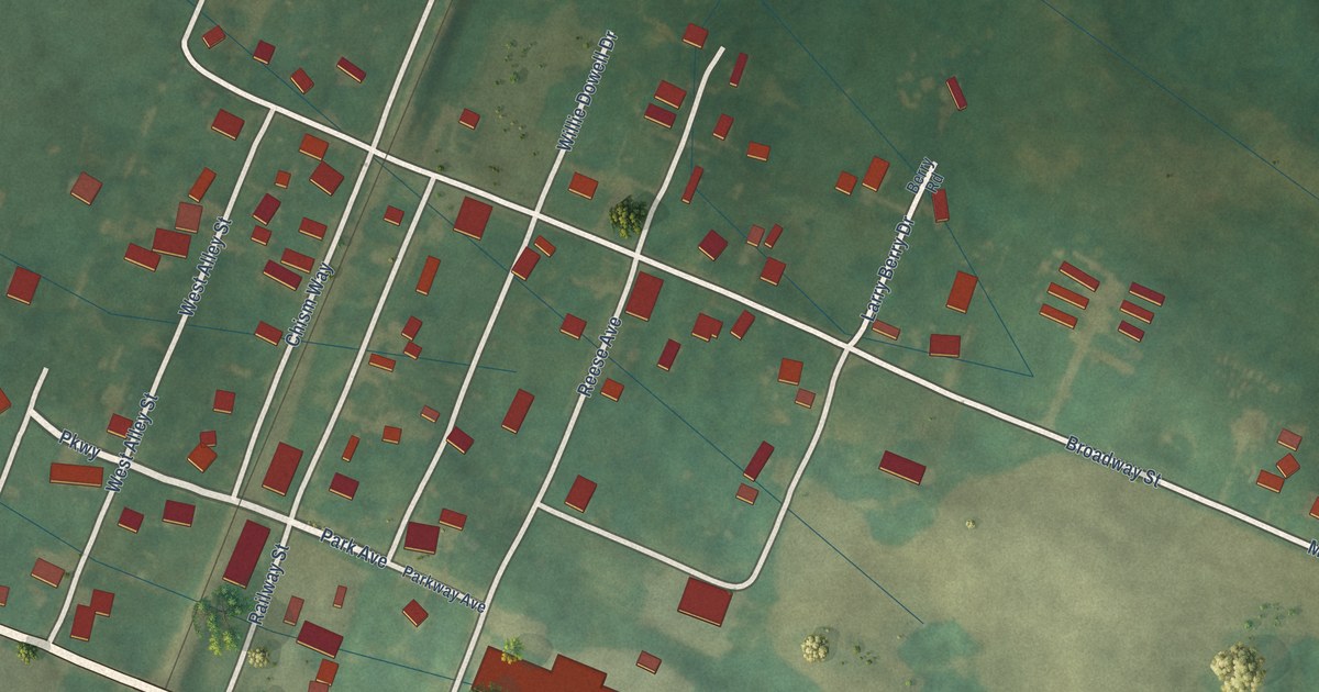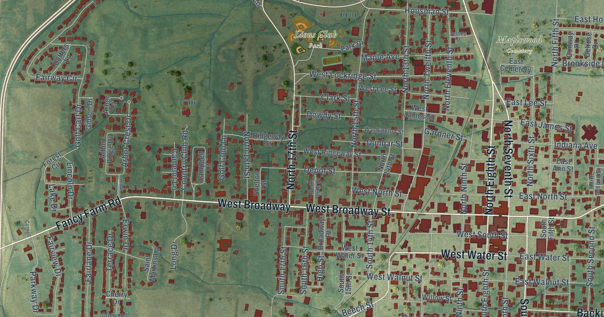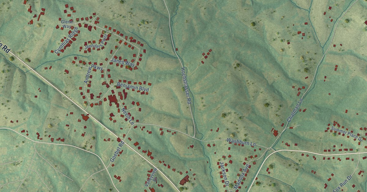
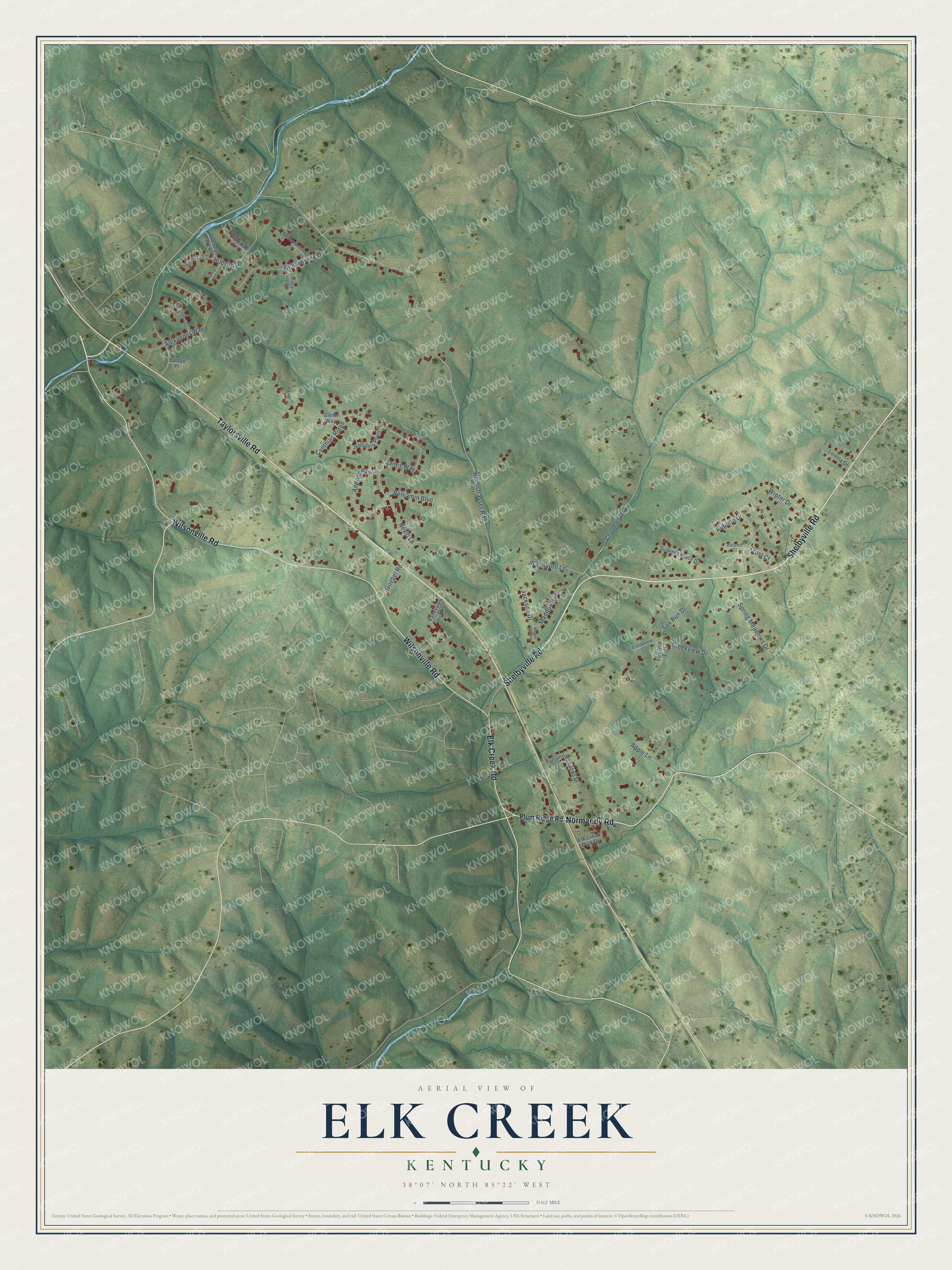
This beautifully detailed map of Elk Creek, Kentucky was created in 2026 using aerial imagery combined with modern topographical, census, street and landmark data. It's a modern aerial view of Elk Creek in Spencer County, Kentucky, that combines modern data with a vintage aesthetic. The roads feature printed names, and if you look closely you can find your exact house accurately shown in its correct location.
Explore an aerial view of Elk Creek, Kentucky
On this map you'll find Wilsonville Road, Shelbyville Road, Normandy Road, Taylorsville Road, Elk Creek Road, Hudson Drive, Hochstrasser Road, Goebel Road, Fox Run Drive, Chatman Lane, Nevin Lane, Winter Drive, and more. Each red shape is a building, so zoom in on the preview and look for yours.
Here is a piece of Elk Creek history. James Morrison Heady, the Blind Bard of Kentucky, is entombed with his parents in the Elk Creek Cemetery. Blind by 15 and deaf before 40, he invented the Talking Glove, printed with the alphabet so others could communicate with him by touching the letters. He also invented the Diplograph, on which he embossed notes as friends read aloud, and he built a steam-powered embossing press for the American Printing House for the Blind. That's from the Kentucky Historical Society.
Elk Creek is a community in Spencer County. The Census Bureau counted 1,986 people here in 2020.
Take a closer look at the Elk Creek map
Names on this map
These names are printed on this map.
Streets and roads: Wilsonville Road, Shelbyville Road, Normandy Road, Taylorsville Road, Elk Creek Road, Hudson Drive, Hochstrasser Road, Goebel Road, Fox Run Drive, Chatman Lane, Nevin Lane, Winter Drive.
More street names, A to Z
Alexander Way, Andrew Parkway, Apple Lane, Ashland Meadows Drive, Autumn Court, Autumn Drive, Battery Lane, Benjamin Boulevard, Chelsey Park Drive, Creekview Court, Creekview Drive, Cynthias Ridge, Elk Creek Park Drive, Fox Run Ests, Frost Court, Glenn Way, Henry Court, Hidden Valley, Jackson Drive, Jaiden Place, Janes Way, Jennifers Point, Loretta Drive, Maddox Avenue, Megan Boulevard, Plum Ridge Road, Saint James Court, Scarsdale Lane, Spring Meadows Drive, Summer Place Drive, Valleyview Drive, Washburn Lane, Willowbrook Court, Willowbrook Drive.
See it on a wall
The Elk Creek map as a framed print. Swipe for more.


Created by KNOWOL in 2026. The buildings are small red shapes, the roads carry their printed names, and shaded relief shows the shape of the land. The title panel reads "AERIAL VIEW OF ELK CREEK, KENTUCKY" with 38°07' NORTH 85°22' WEST.
It suits a den, a classroom or a front hall, and it makes a gift for anyone with Elk Creek roots. Open the preview and find the block you know. See sizes and frames for the Elk Creek map.