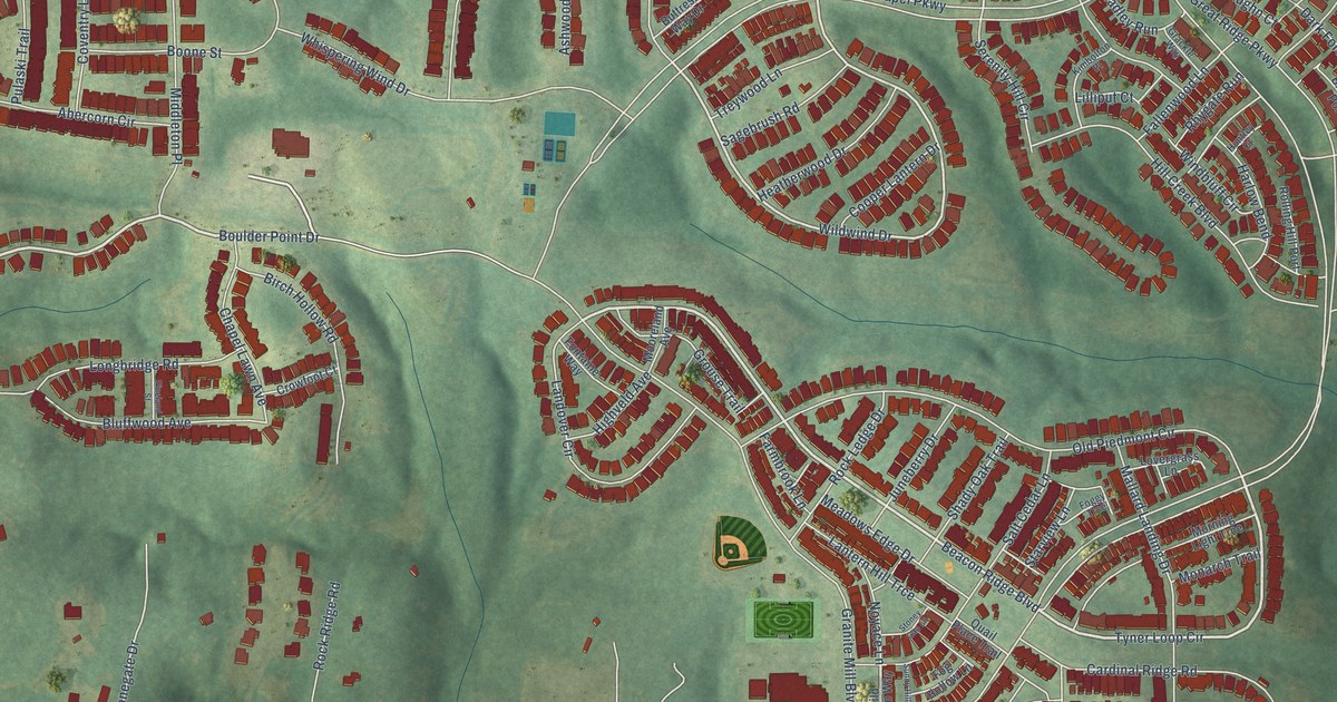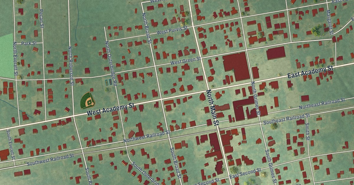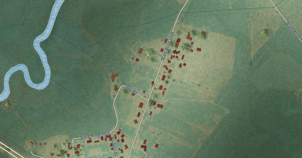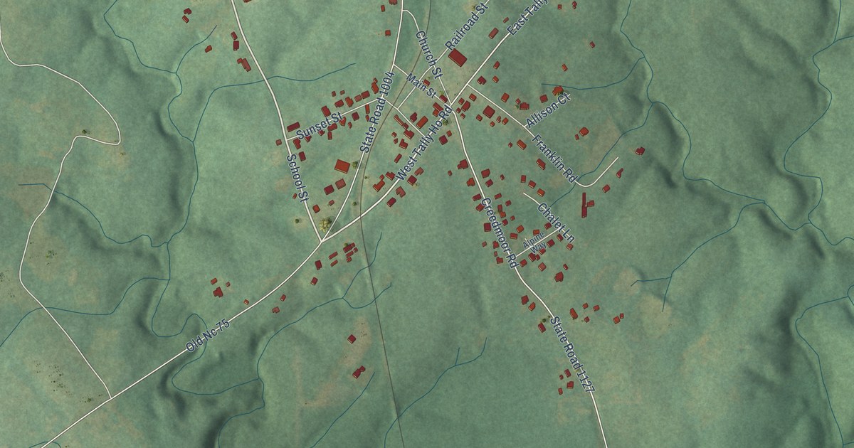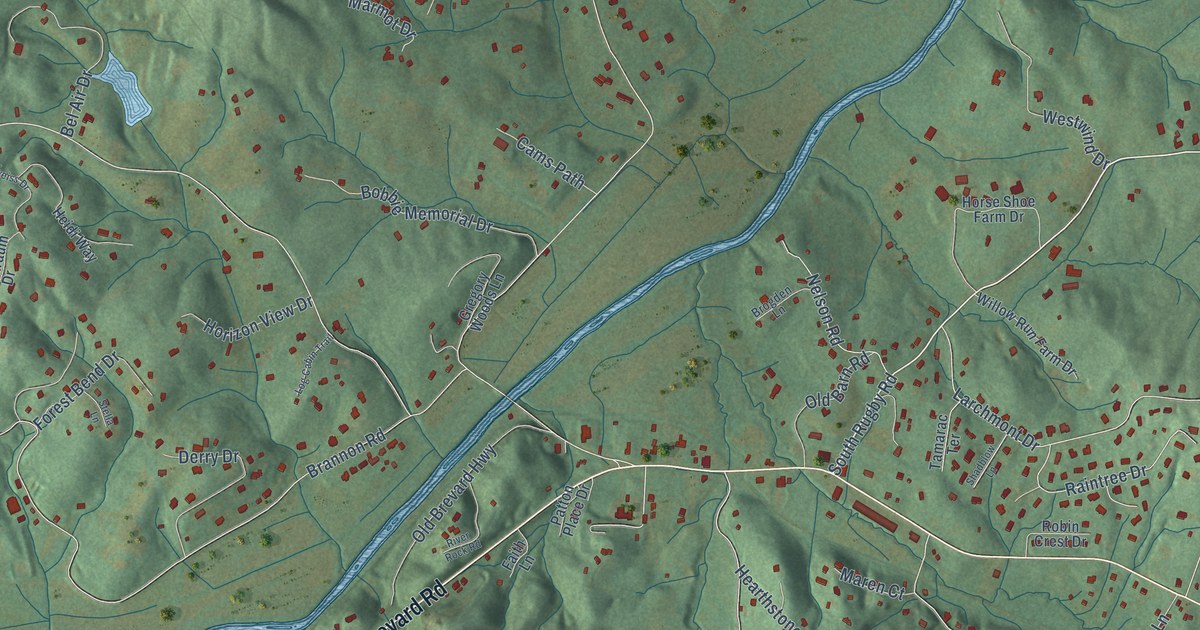
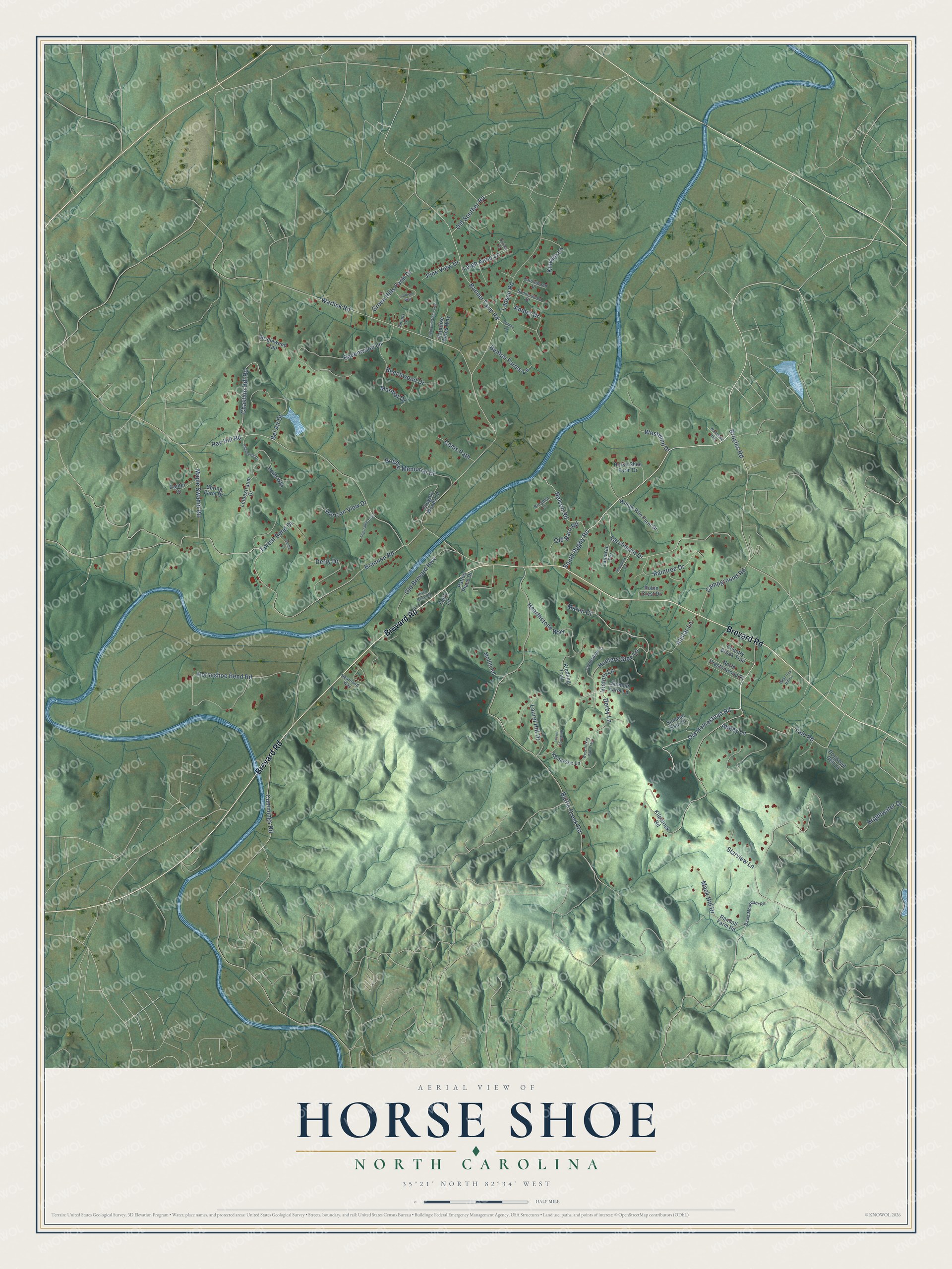
This beautifully detailed map of Horse Shoe, North Carolina was created in 2026 using aerial imagery combined with modern topographical, census, street and landmark data. It's a modern aerial view of Horse Shoe in Henderson County, North Carolina, that combines modern data with a vintage aesthetic. The roads feature printed names, and if you look closely you can find your exact house accurately shown in its correct location.
Explore an aerial view of Horse Shoe, North Carolina
On this map you'll find Brevard Road, South Rugby Road, Old Homestead Road, Maple Swamp Road, Derby Lane, Banner Farm Road, Brannon Road, Battle Creek Road, Brightwater Drive, Ray Hill Road, Broyles Road, Horseshoe Bend Road, and more. Each red shape is a building, so zoom in on the preview and look for yours.
Horse Shoe has a story worth telling. When Henderson County was created, its first court met in February 1839 at the log home of Hugh Johnson, in what is now Horse Shoe, with the new county's fifteen justices of the peace present. Johnson had also offered land for the county's town site. The name was old even then: a court order of 1793 already called this landmark on the French Broad River the horse shoe. That's from the 1947 Story of Henderson County.
Horse Shoe is a community in Henderson County. The Census Bureau counted 2,430 people here in 2020.
Take a closer look at the Horse Shoe map
Names on this map
These names are printed on this map.
Streets and roads: Brevard Road, South Rugby Road, Old Homestead Road, Maple Swamp Road, Derby Lane, Banner Farm Road, Brannon Road, Battle Creek Road, Brightwater Drive, Ray Hill Road, Broyles Road, Horseshoe Bend Road.
More street names, A to Z
Abbey Lane, Addison Way, Allstar Lane, Amber Drive, Bannerwood Drive, Beechwood Drive, Bel Air Drive, Benton Farms Lane, Bobbie Memorial Drive, Bridlewood Trail, Brogden Lane, Campground Road, Cams Path, Canter Court, Carolewood Drive, Chastain Hill Road, Clydesdale Court, Country Brook Trail, Cummings Road, Davis Mountain Road, Derry Drive, Dogwood Dell Lane, Doliver Drive, Edelweiss Drive, Faith Lane, Forest Bend Drive, Green Hills Farm Drive, Gregory Woods Lane, Hearthstone Way, Heartland Way, Heidi Way, Hidden Lane, Highland Glenn Trce, Horizon View Drive, Horse Shoe Farm Drive, Hunters Glen Lane, Jacobs Lane, Kilpatrick Road, Kindling Trail, Kinvara Lane, Konarske Lane, Ladson Road, Larchmont Drive, Laurel Forest Drive, Laurel Hill Drive, Leibestraum Drive, Leigh Anne Lane, Log Cabin Trail, Mack Hill Drive, Maren Court, Marmot Drive, Moffitt Road, Nelson Road, North Prestonwood Drive, Old Barn Road, Old Brevard Highway, Old Souther Road, Paradise Acres Way, Patton Place Drive, Pine View Drive, Raintree Drive, Randall Farm Road, Ravenwood Lane, River Rock Road, Robin Crest Drive, Shadblow Lane, Spring Farm Drive, Starview Lane, Stella Lane, Summer Rain Drive, Summit Farm Lane, Tamarac Terrace, Victory Lane, Wanteska Hills, Warlick Road, West Oak Hill Lane, West Turkey Paw Trail, Westwind Drive, Willow Run Farm Drive, Yale Road.
See it on a wall
The Horse Shoe map as a framed print. Swipe for more.


Created by KNOWOL in 2026. The buildings are small red shapes, the roads carry their printed names, and shaded relief shows the shape of the land. The title panel reads "AERIAL VIEW OF HORSE SHOE, NORTH CAROLINA" with 35°21' NORTH 82°34' WEST.
It looks right in a kitchen, an office or a den, and it's a gift for anyone who grew up in Horse Shoe or moved away. Open the preview and find your street. See sizes and frames for the Horse Shoe map.