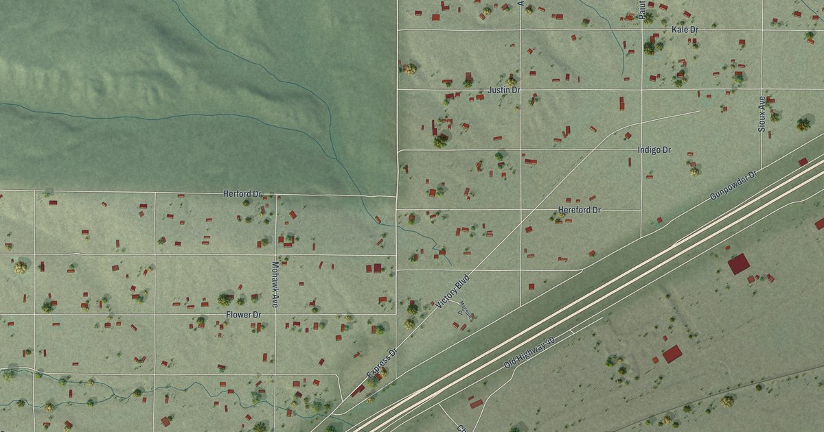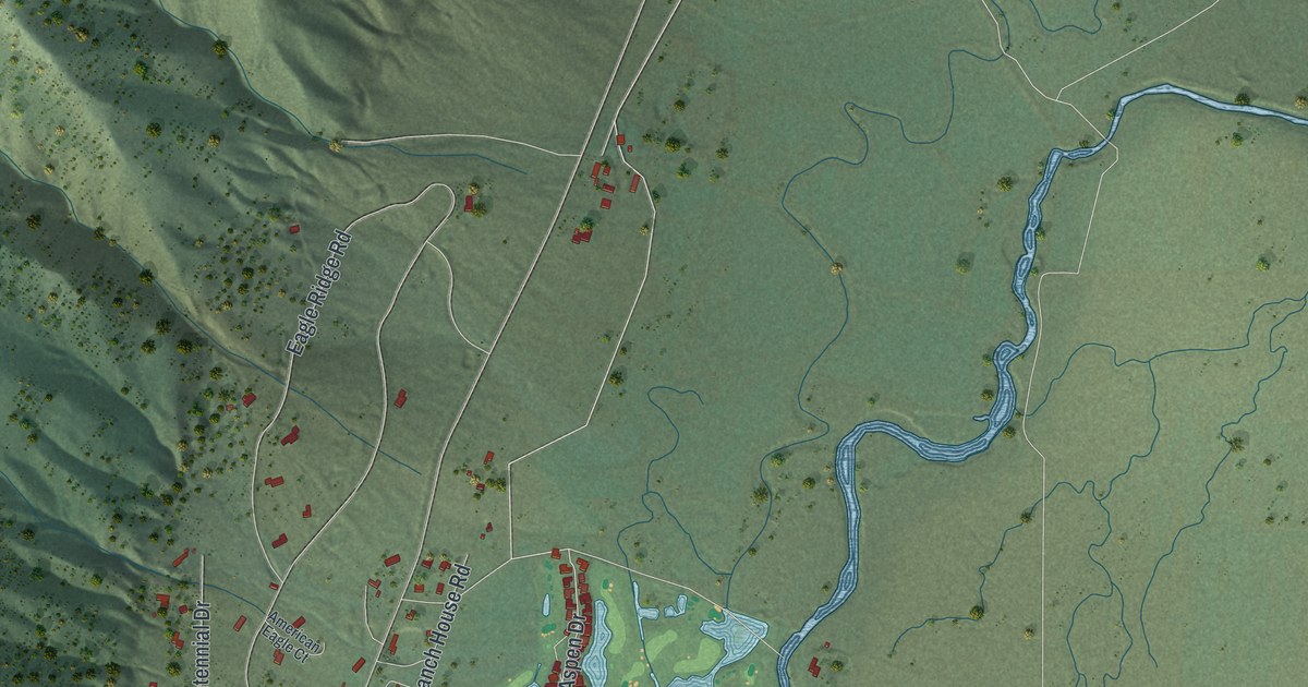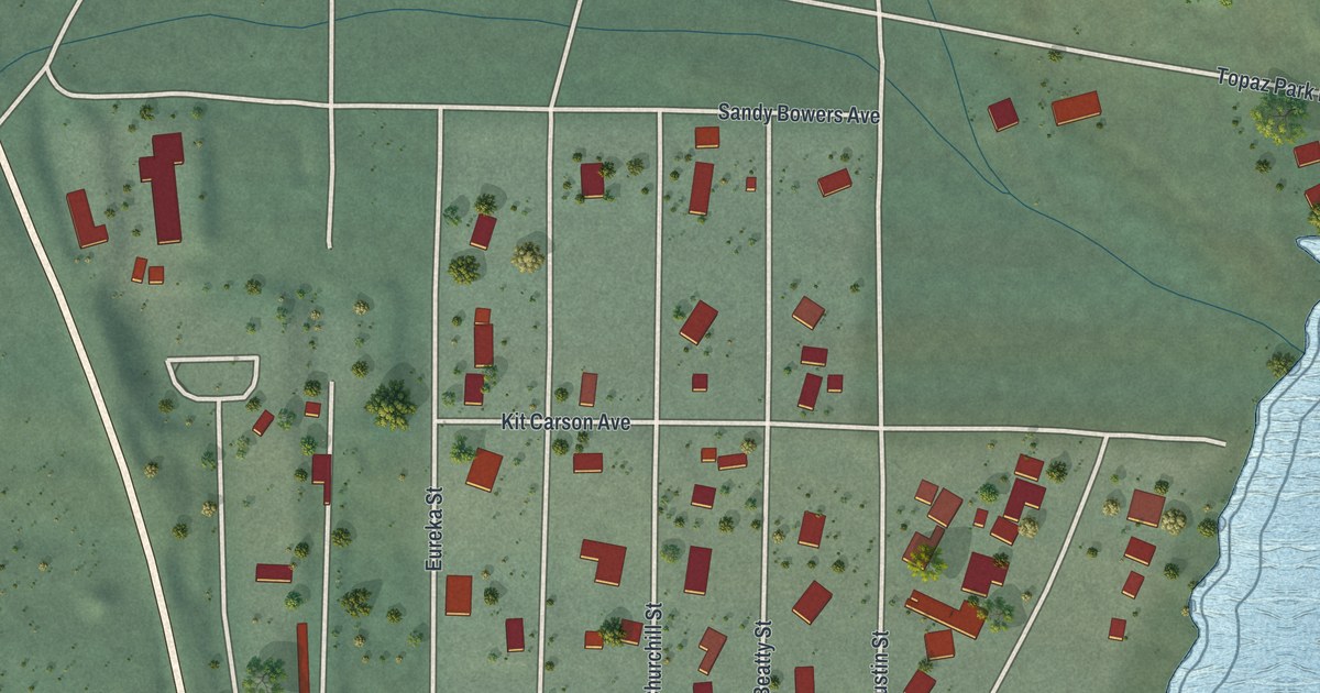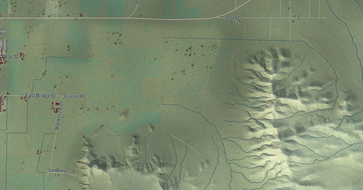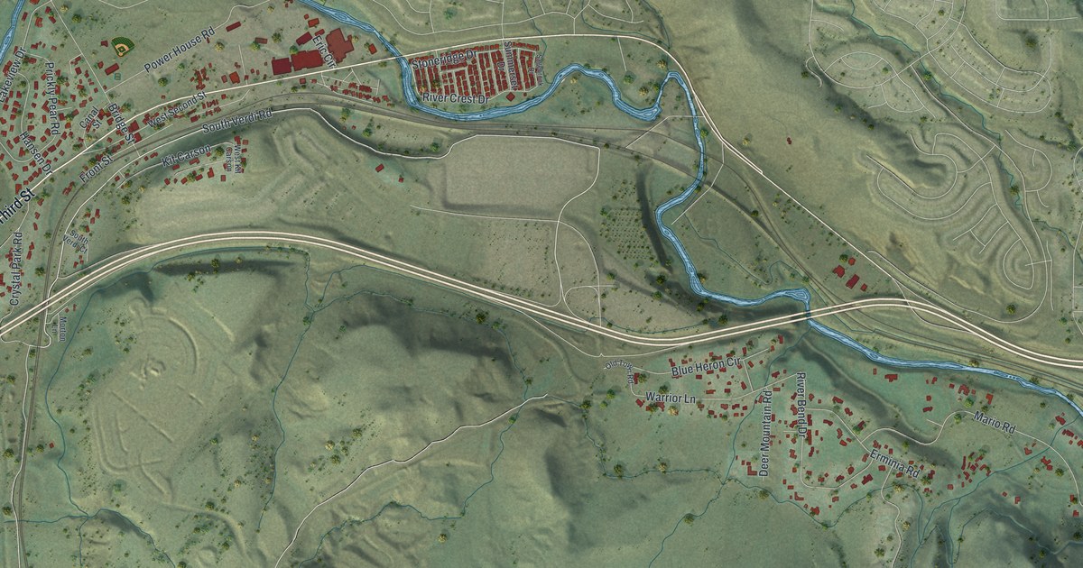
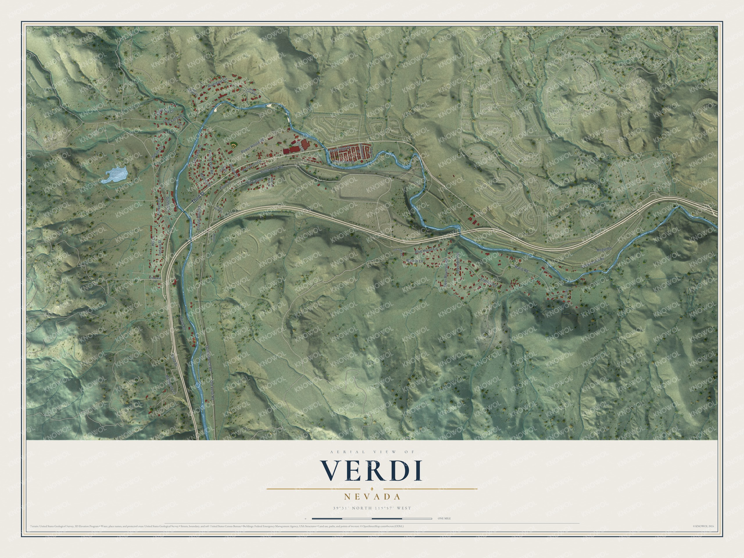
This beautifully detailed map of Verdi, Nevada was created in 2026 using aerial imagery combined with modern topographical, census, street and landmark data. It's a modern aerial view of Verdi in Washoe County, Nevada, that combines modern data with a vintage aesthetic. The roads feature printed names, and if you look closely you can find your exact house accurately shown in its correct location.
Explore an aerial view of Verdi, Nevada
On this map you'll find Third Street, South Verdi Road, Sylvan Circle, Old Verdi Road, Quilici Ranch Road, Hill Lane, Riverdale Circle, Bridge Street, Mario Road, Crystal Park Road, Lakeview Drive, River Bend Drive, and more. Each red shape is a building, so zoom in on the preview and look for yours.
Every town has a first chapter, and Verdi is no exception. Verdi began in 1868, when the Central Pacific Railroad tracks reached the spot ten miles west of where Reno would grow. Charles Crocker of the railroad pulled a slip of paper from a hat, read the name of the famous Italian composer Giuseppe Verdi, and that became the town's name. People from the nearby lumber and teamster camp of Crystal Peak soon moved to Verdi, once it was clear the railroad would pass them by nearly two miles. Sawmills, planing mills and shingle mills then turned out trainloads of lumber for Virginia City. That's from the Verdi History Preservation Society.
Verdi is a community in Washoe County. The Census Bureau counted 1,396 people here in 2020.
Take a closer look at the Verdi map
Names on this map
These names are printed on this map.
Streets and roads: Third Street, South Verdi Road, Sylvan Circle, Old Verdi Road, Quilici Ranch Road, Hill Lane, Riverdale Circle, Bridge Street, Mario Road, Crystal Park Road, Lakeview Drive, River Bend Drive.
More street names, A to Z
Blue Heron Circle, Canal Street, Canepa Ranch Road, Deer Canyon Court, Deer Mountain Road, Dog Valley Road, Dori Bell Lane, Dusty Lane, Eric Circle, Erminia Road, Front Street, Hansen Drive, Hirsh Road, Hunken Circle, Kit Carson, Mahogany Court, Mogul Road, Morton Lane, Old Town Road, Power House Road, Prickly Pear Road, River Crest Drive, Sable Circle, Sagebrook Drive, Silver Fox Circle, Silver Lynx Way, South Verdi Court, Stoneridge Drive, Summerset Drive, Tenaya Street, Trelease Lane, Warrior Lane, West Kit Carson, West Second Street.
See it on a wall
The Verdi map as a framed print. Swipe for more.


Created by KNOWOL in 2026. The buildings are small red shapes, the roads carry their printed names, and shaded relief shows the shape of the land. The title panel reads "AERIAL VIEW OF VERDI, NEVADA" with 39°31' NORTH 119°57' WEST.
Hang it in the hallway, the office or the cabin, or give it to someone who left Verdi and still calls it home. Open the preview and look for a street you know. See sizes and frames for the Verdi map.