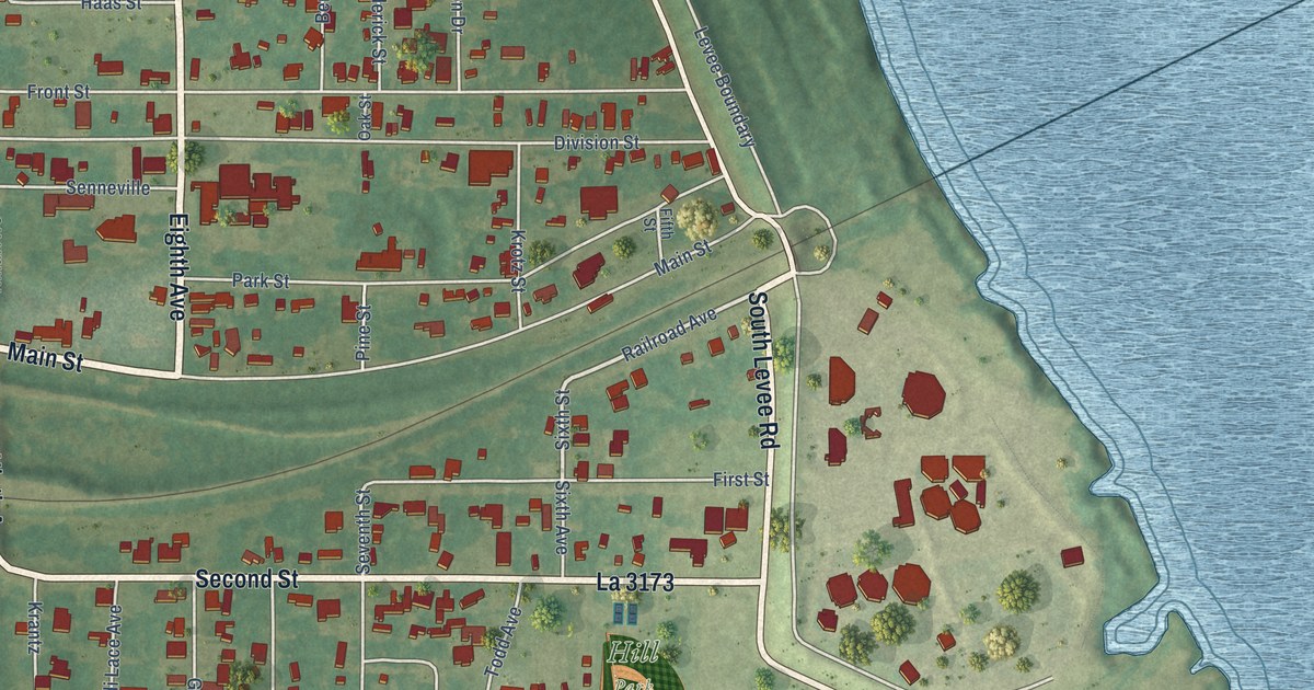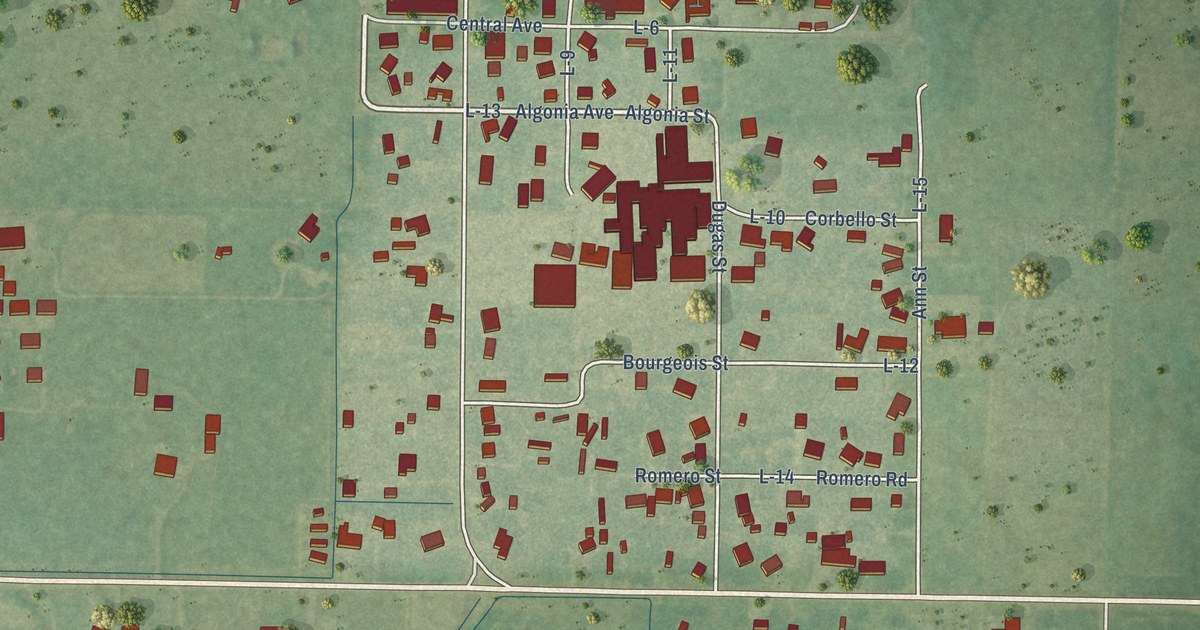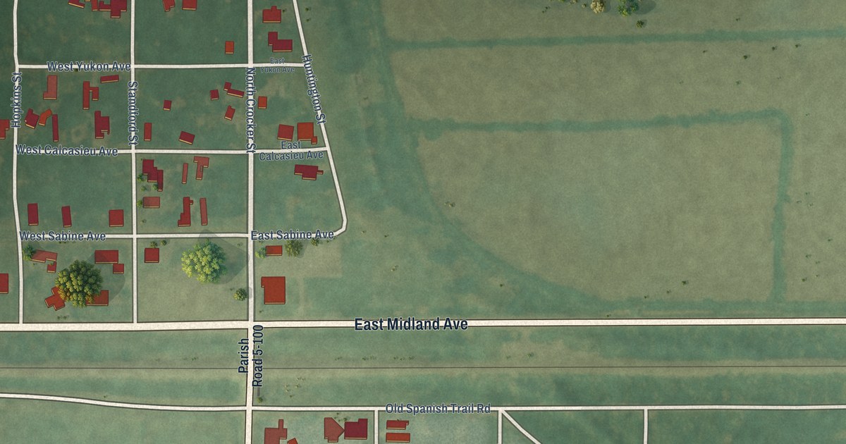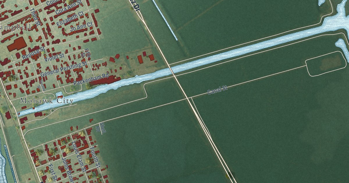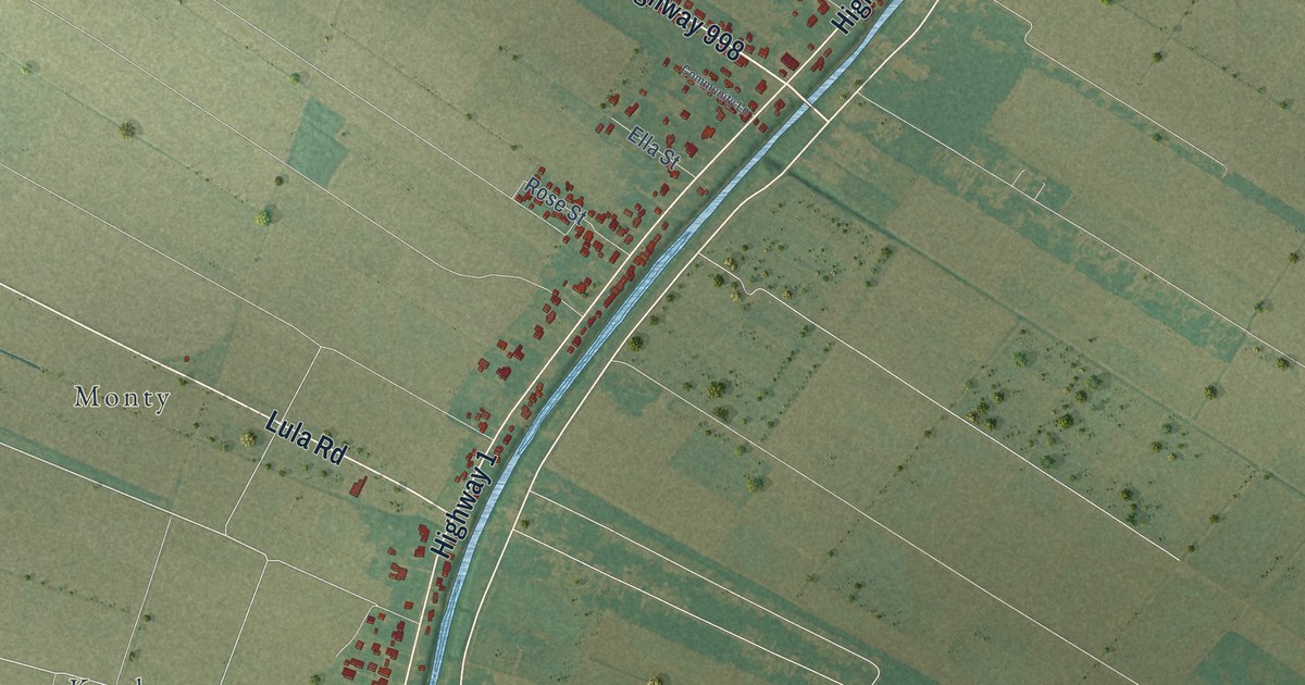
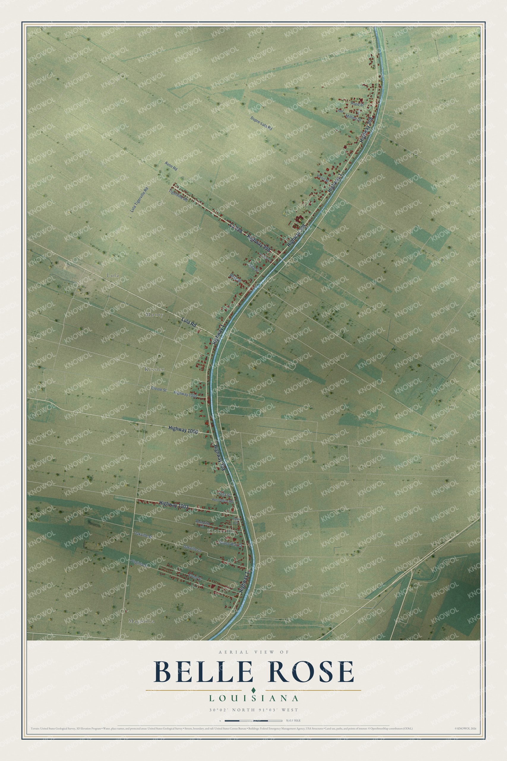
This beautifully detailed map of Belle Rose, Louisiana was created in 2026 using aerial imagery combined with modern topographical, census, street and landmark data. It's a modern aerial view of Belle Rose in Assumption Parish, Louisiana, that combines modern data with a vintage aesthetic. The roads feature printed names, and if you look closely you can find your exact house accurately shown in its correct location.
Explore an aerial view of Belle Rose, Louisiana
On this map you'll find Klotzville, Lula, Magnolia, Kessler, Monty, La 998, Lula Road, Highway 1003, Highway 1, Highway 308, Highway 998, Highway 1000, and more. Each red shape is a building, so zoom in on the preview and look for yours.
Here is a piece of Belle Rose history. In 1906 the one-room Valenzuela and Kotzville schools were merged into one school at Belle Rose. A wagonette with its own driver carried the children to their new school, and it stayed in use until 1919, when the school board brought in motor transport. The order came from Samuel A. Alleman, an educator of Canary Islander descent who in 1905 became the first professional superintendent of Assumption Parish schools. That's from the Louisiana State University Press.
Belle Rose is a community in Assumption Parish. The Census Bureau counted 1,698 people here in 2020.
Take a closer look at the Belle Rose map
Names on this map
These names are printed on this map.
Places: Klotzville, Lula, Magnolia, Kessler and Monty.
Streets and roads: La 998, Lula Road, Highway 1003, Highway 1, Highway 308, Highway 998, Highway 1000, Highway 1002, Dupre-Lula Road, Lula Tigerville Road, Oakville Lane, Oakville Street.
More street names, A to Z
Avon Road, Community Lane, Creole Street, Ella Street, Ewell Street, Fritz Street, Grace Way Court, Harris Street, Hood Street, Joel, Millien Drive, Percy, Peterville Lane, Post Office Road, Rose Street, Tigerville Road, Tyler Lane, Virginia Street.
See it on a wall
The Belle Rose map as a framed print. Swipe for more.


Created by KNOWOL in 2026. The buildings are small red shapes, the roads carry their printed names, and shaded relief shows the shape of the land. The title panel reads "AERIAL VIEW OF BELLE ROSE, LOUISIANA" with 30°02' NORTH 91°03' WEST.
It suits a den, a classroom or a front hall, and it makes a gift for anyone with Belle Rose roots. Open the preview and find the block you know. See sizes and frames for the Belle Rose map.