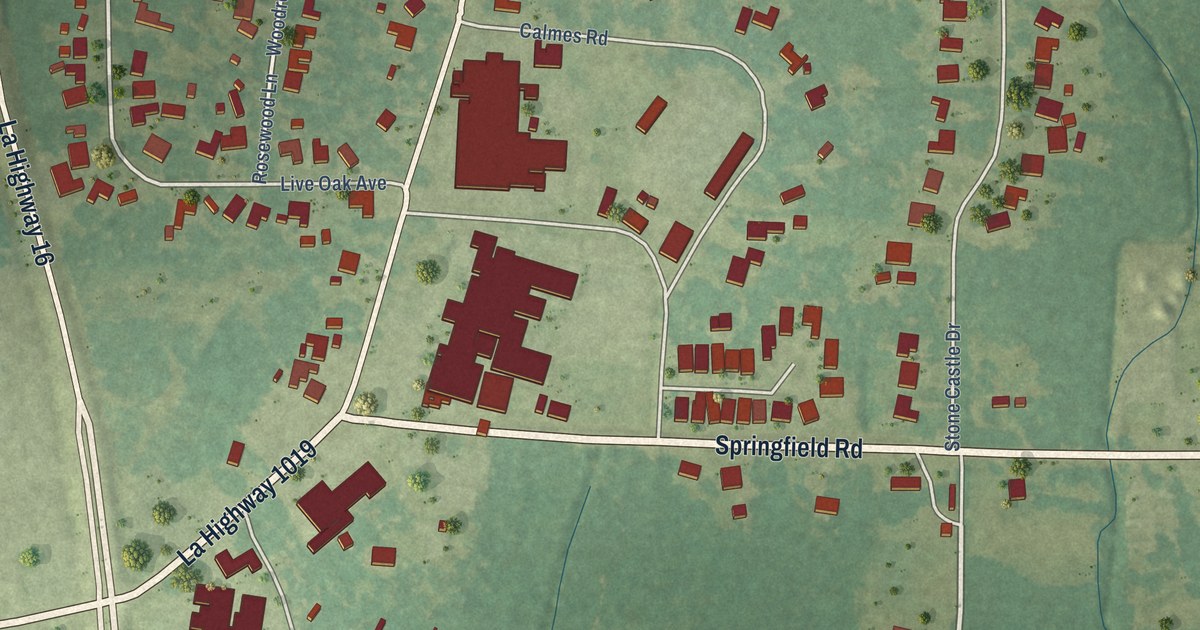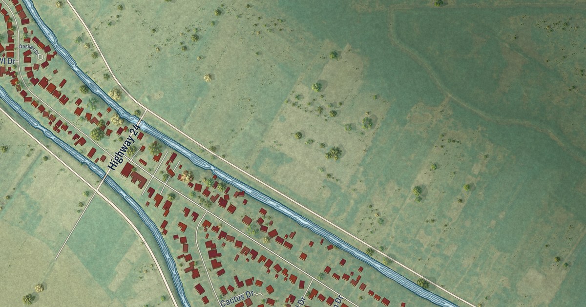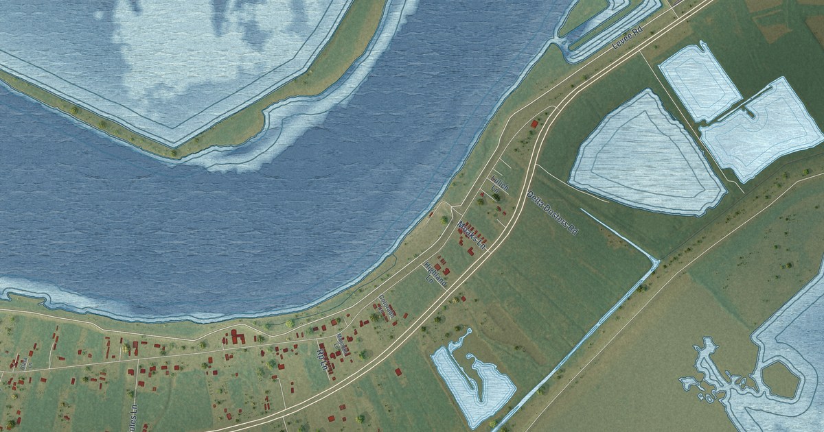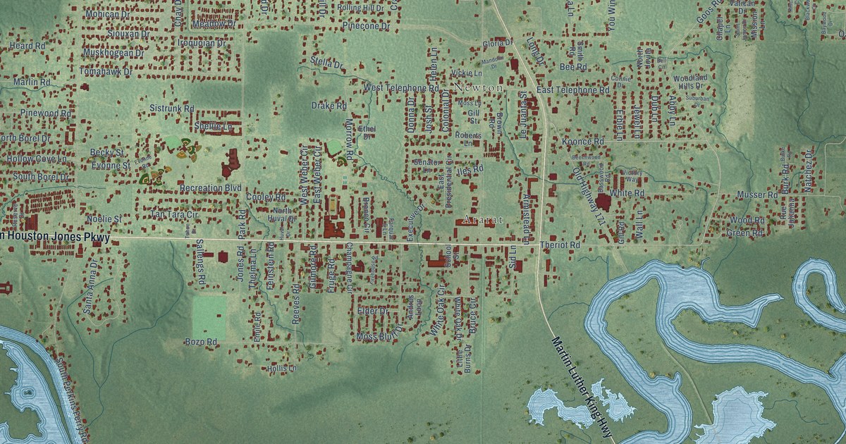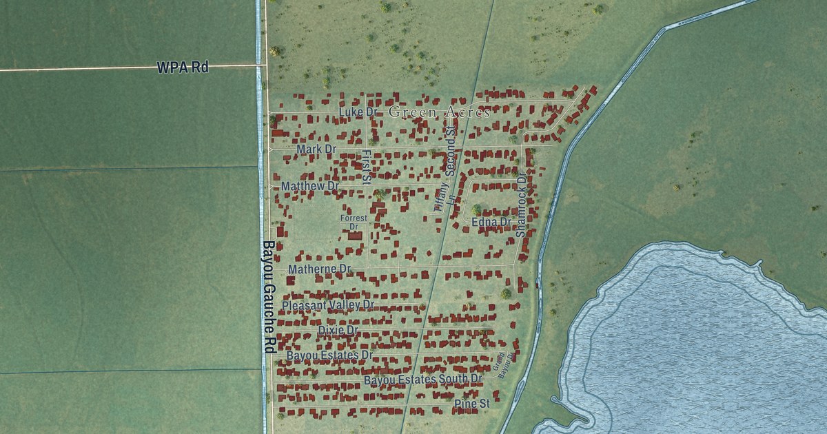
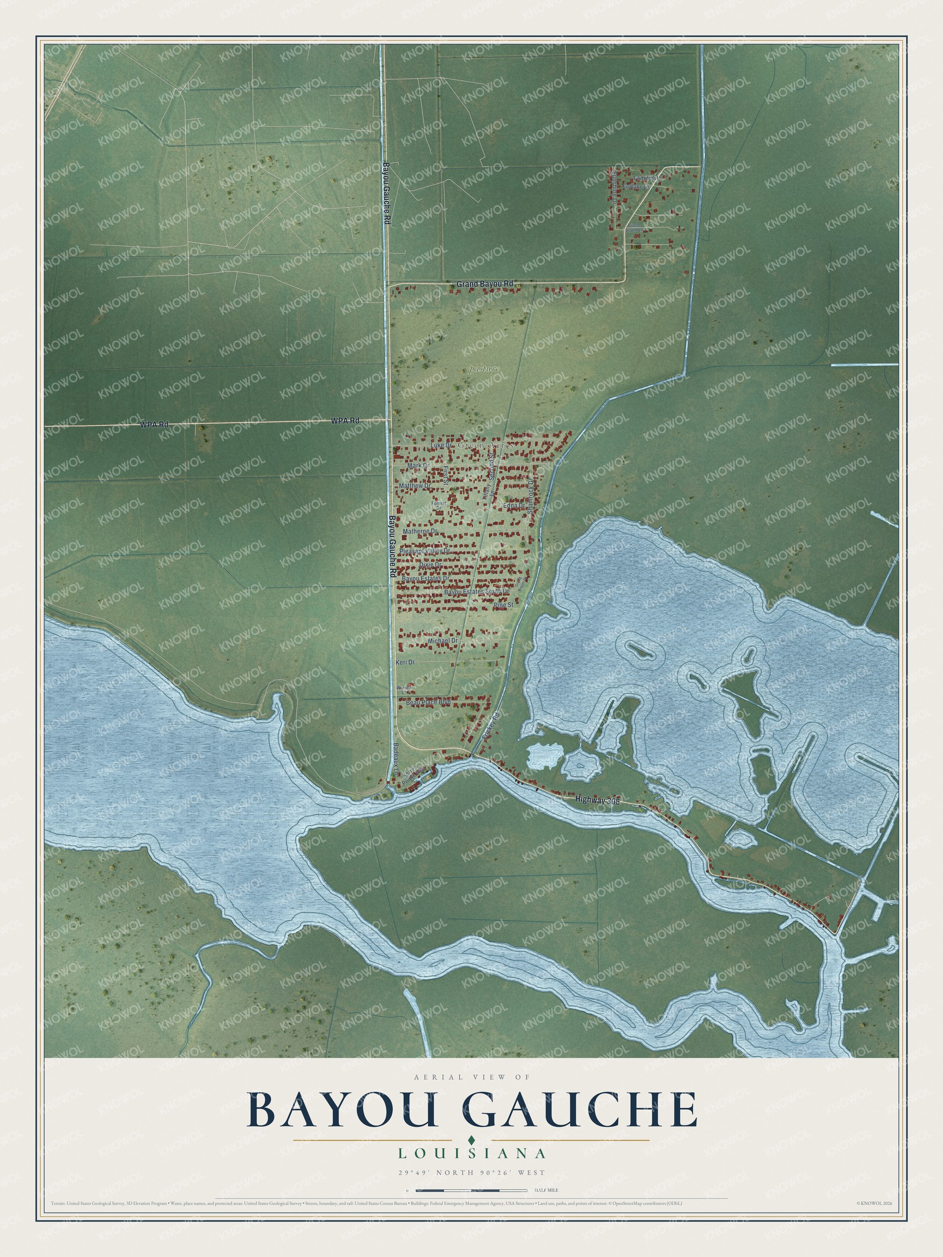
This beautifully detailed map of Bayou Gauche, Louisiana was created in 2026 using aerial imagery combined with modern topographical, census, street and landmark data. It's a modern aerial view of Bayou Gauche in St. Charles Parish, Louisiana, that combines modern data with a vintage aesthetic. The roads feature printed names, and if you look closely you can find your exact house accurately shown in its correct location.
Explore an aerial view of Bayou Gauche, Louisiana
On this map you'll find Green Acres, pasture, Highway 306, Bayou Gauche Road, Grand Bayou Road, WPA Road, Matthew Drive, Second Street, Luke Drive, Mark Drive, Beau Place Boulevard, Matherne Drive, and more. Each red shape is a building, so zoom in on the preview and look for yours.
Here is a piece of Bayou Gauche history. Louisiana duck decoys were never signed by their makers, yet collector Charles W. Frank Jr. said it was a recognized fact that you could tell the birds carved on Bayou Gauche. The old carvers there left their trademark with knife or hatchet, in the shape or angle of a head or tail. That's from the Louisiana Conservationist magazine.
Bayou Gauche is a community in St. Charles Parish. The Census Bureau counted 2,161 people here in 2020.
Take a closer look at the Bayou Gauche map
Names on this map
These names are printed on this map.
Places: Green Acres.
Streets and roads: Highway 306, Bayou Gauche Road, Grand Bayou Road, WPA Road, Matthew Drive, Second Street, Luke Drive, Mark Drive, Beau Place Boulevard, Matherne Drive, Shamrock Drive, Bayou Estates Drive.
More street names, A to Z
Badeaux Lane, Bayou Estates South Drive, Circle South Lane, Dixie Drive, Edna Drive, Family Street, First Street, Forrest Drive, Frickey Road, Grand Bayou Drive, Keri Drive, Kerry's Pointe East, Leblanc Lane, Michael Drive, Pine Street, Pleasant Valley Drive, Sunshine Drive, Tiffany Lane, Warren Drive.
See it on a wall
The Bayou Gauche map as a framed print. Swipe for more.


Created by KNOWOL in 2026. The buildings are small red shapes, the roads carry their printed names, and shaded relief shows the shape of the land. The title panel reads "AERIAL VIEW OF BAYOU GAUCHE, LOUISIANA" with 29°49' NORTH 90°26' WEST.
It suits a den, a classroom or a front hall, and it makes a gift for anyone with Bayou Gauche roots. Open the preview and find the block you know. See sizes and frames for the Bayou Gauche map.