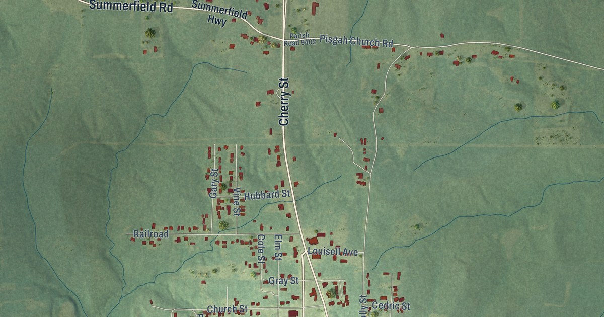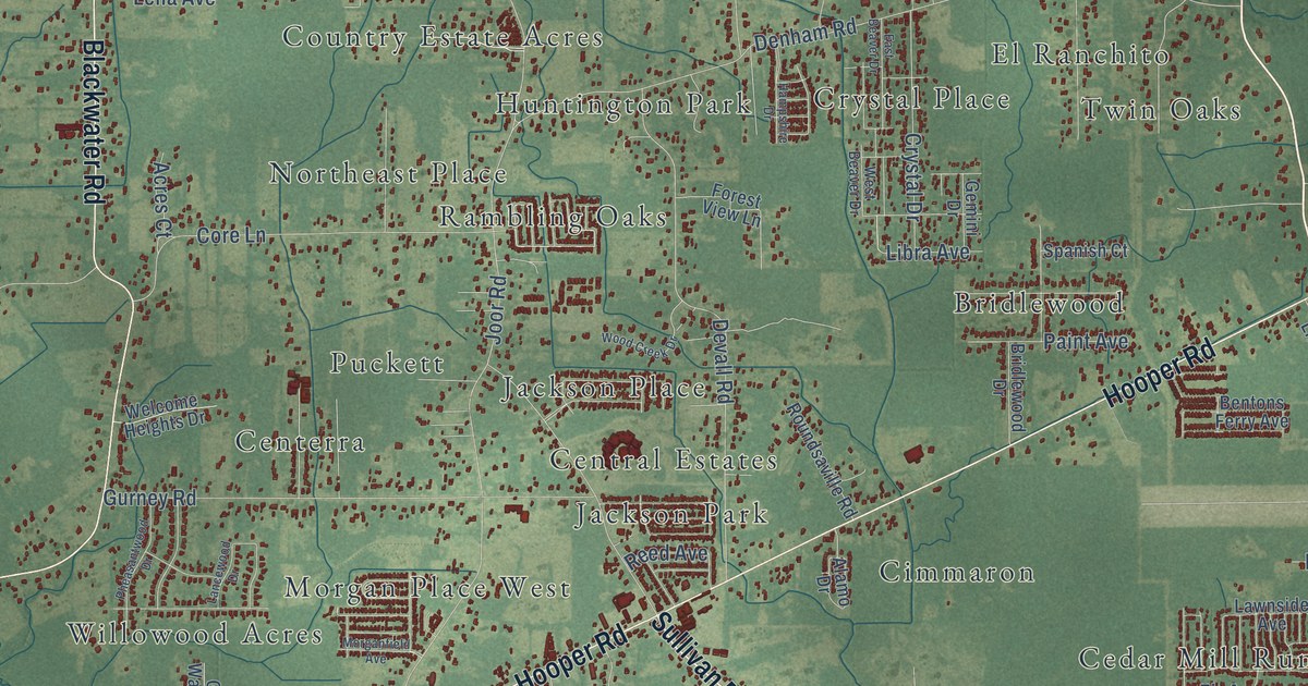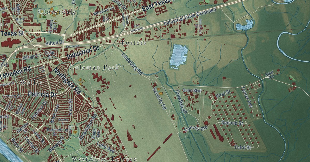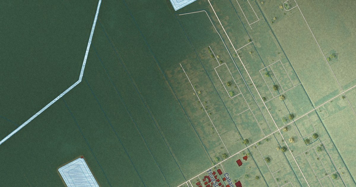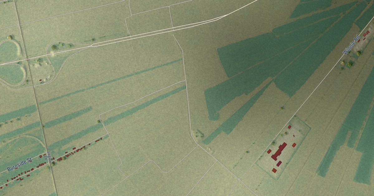
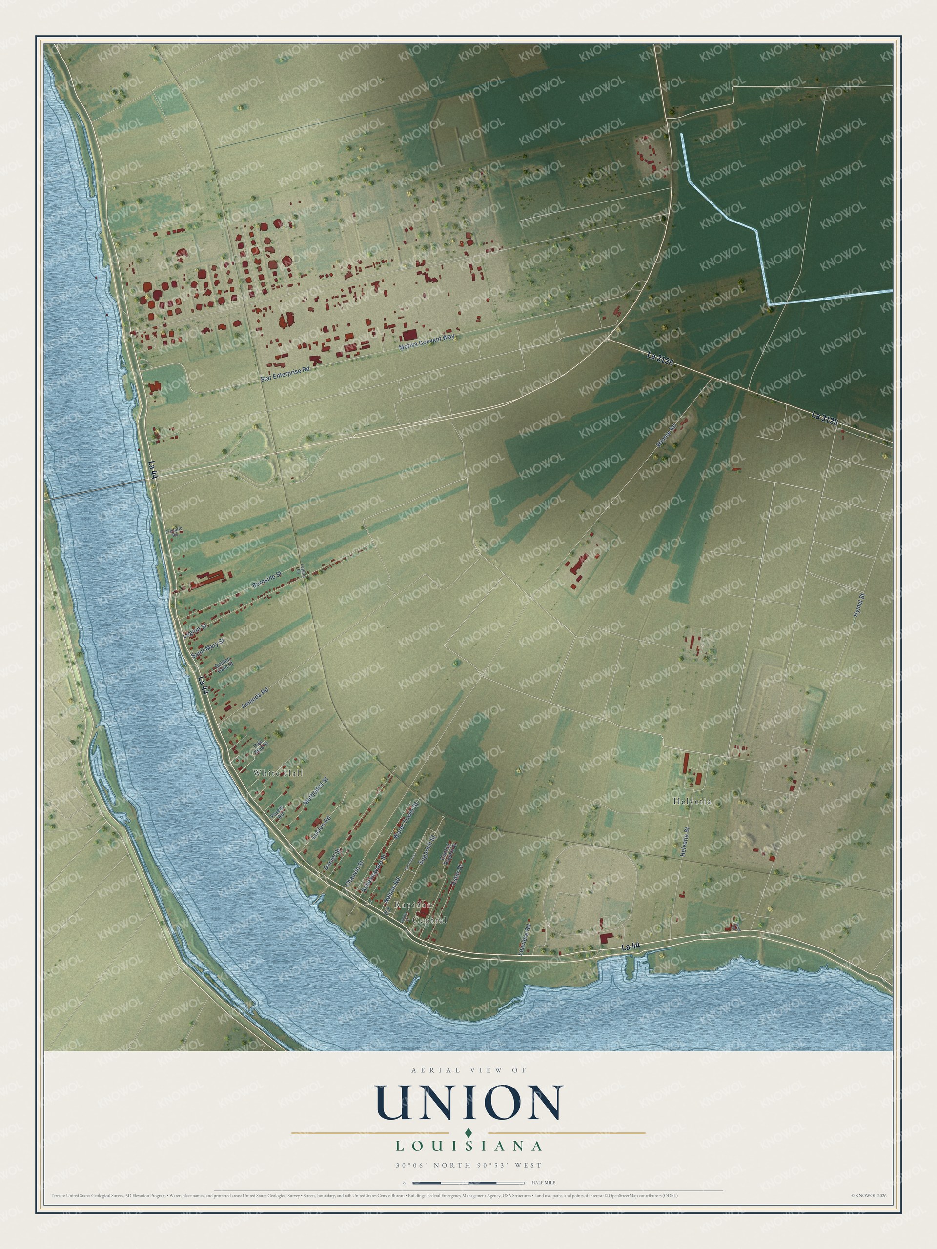
This beautifully detailed map of Union, Louisiana was created in 2026 using aerial imagery combined with modern topographical, census, street and landmark data. It's a modern aerial view of Union in St. James Parish, Louisiana, that combines modern data with a vintage aesthetic. The roads feature printed names, and if you look closely you can find your exact house accurately shown in its correct location.
Explore an aerial view of Union, Louisiana
On this map you'll find Central, Rapidan, White Hall, Helvetia, La 44, La 3125, Sugarhill Street, Motiva Convent Way, Winnie Road, Star Enterprise Road, Hymel Street, Amanda Road, and more. Each red shape is a building, so zoom in on the preview and look for yours.
Here is a piece of Union history. Union changed its name with each new way of travel. First called Pointville, it took the name of its steamboat landing, Pape Vert, and then of its railroad station. When buses replaced the passenger trains, their run ended at the church next to the post office, and the tickets read Union. The post office had first stood on Union Plantation, about a mile north of town. The plantation house was later torn down to make way for a new levee. That's from the Louisiana State University Press.
Union is a community in St. James Parish. The Census Bureau counted 735 people here in 2020.
Take a closer look at the Union map
Names on this map
These names are printed on this map.
Places: Central, Rapidan, White Hall and Helvetia.
Streets and roads: La 44, La 3125, Sugarhill Street, Motiva Convent Way, Winnie Road, Star Enterprise Road, Hymel Street, Amanda Road, Legion Street, Helvetia Street, Water Tower Street, Lucien Road.
More street names, A to Z
Burnside Street, Central Project Street, Chauvin Street, Cut Cane Drive, Daniel Street, Ester Street, Fields Street, Frederic Road, Golden Gate Street, Hynel Road, Legion Lane, Louviere Road, Methodist Street, Nelson Road, Oak Tree Street, Parent Road, Pv Road, Saint Mary Street, Schexnaydre Street.
See it on a wall
The Union map as a framed print. Swipe for more.


Created by KNOWOL in 2026. The buildings are small red shapes, the roads carry their printed names, and shaded relief shows the shape of the land. The title panel reads "AERIAL VIEW OF UNION, LOUISIANA" with 30°06' NORTH 90°53' WEST.
It suits a den, a classroom or a front hall, and it makes a gift for anyone with Union roots. Open the preview and find the block you know. See sizes and frames for the Union map.