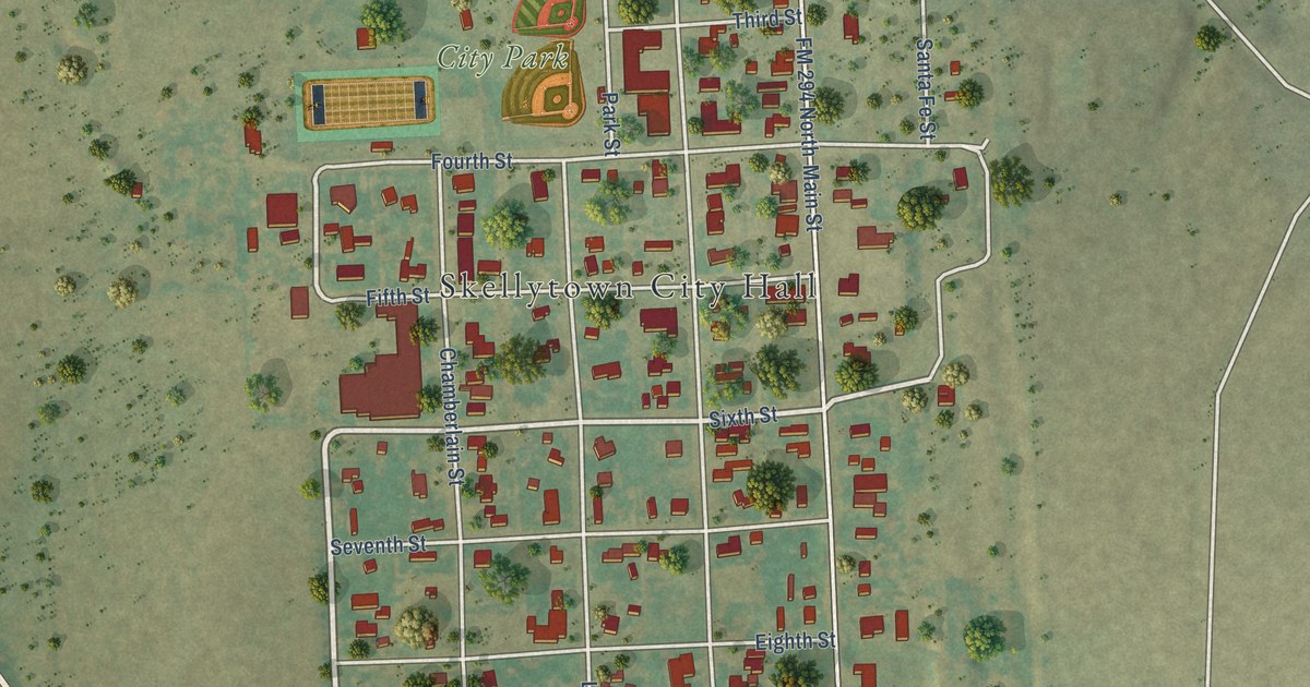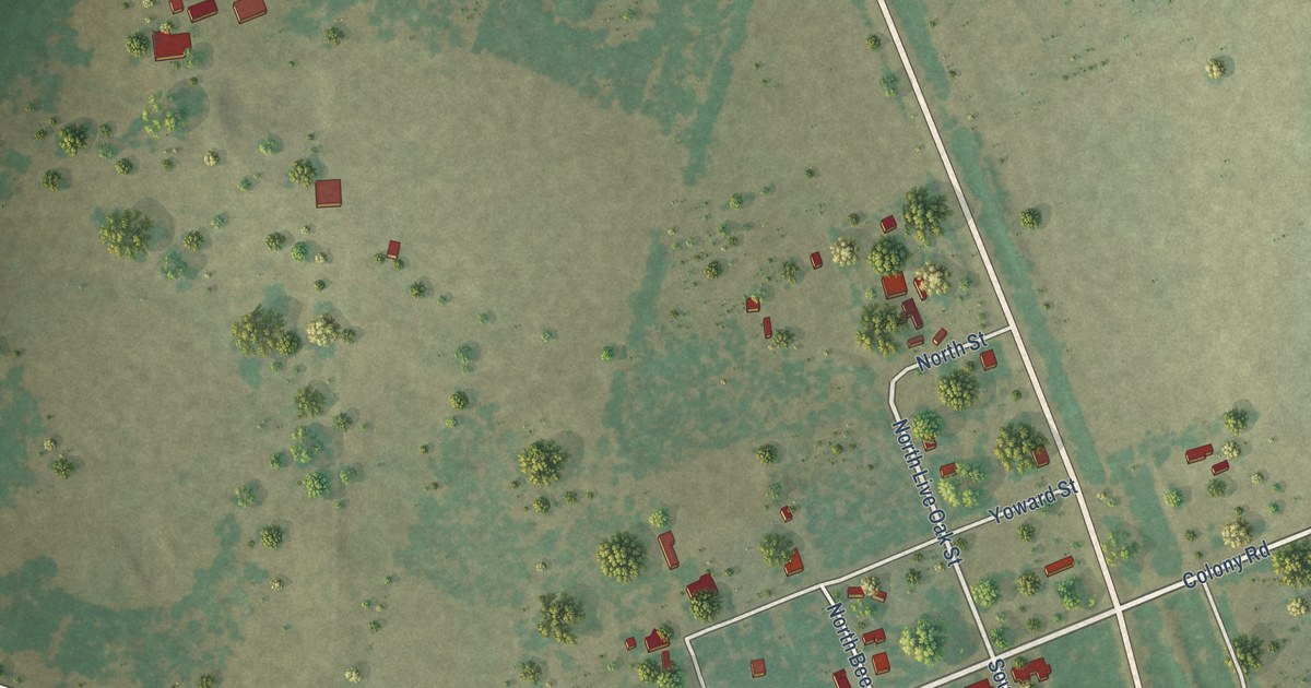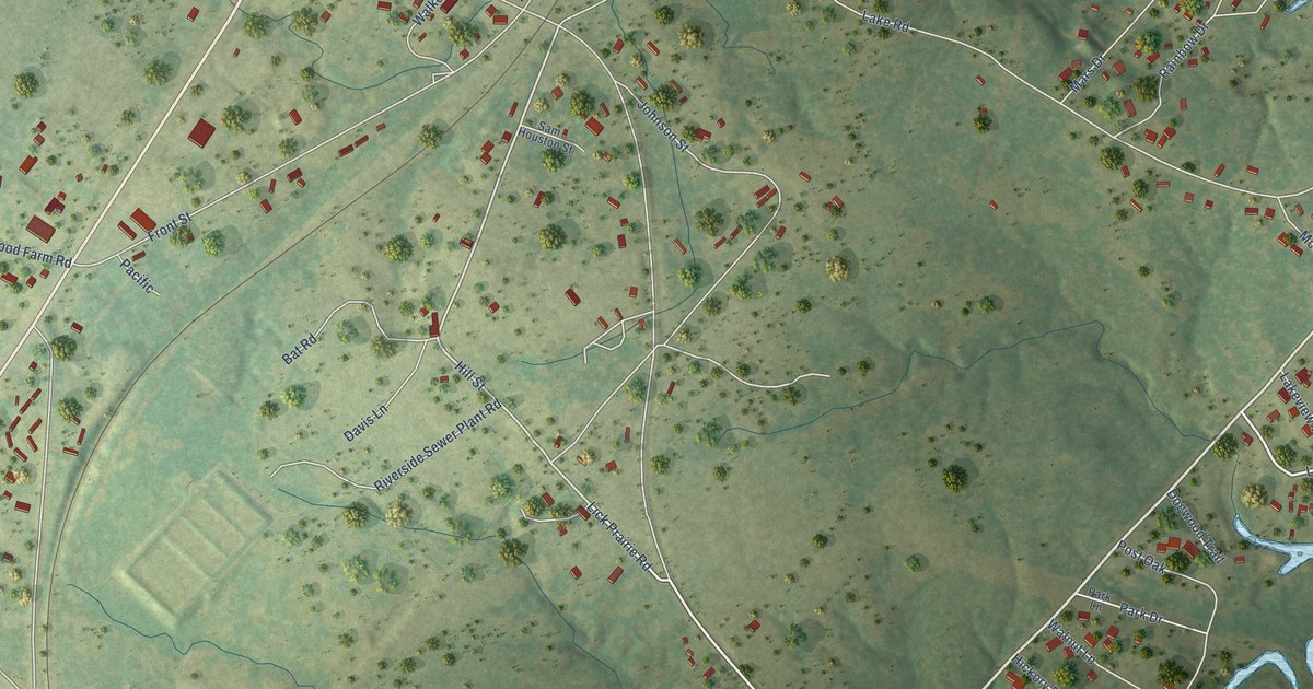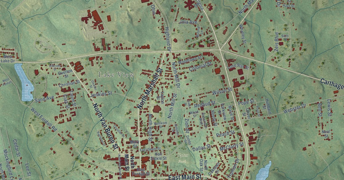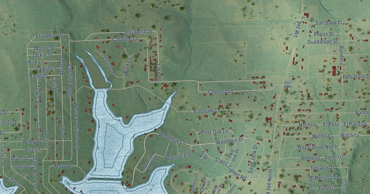
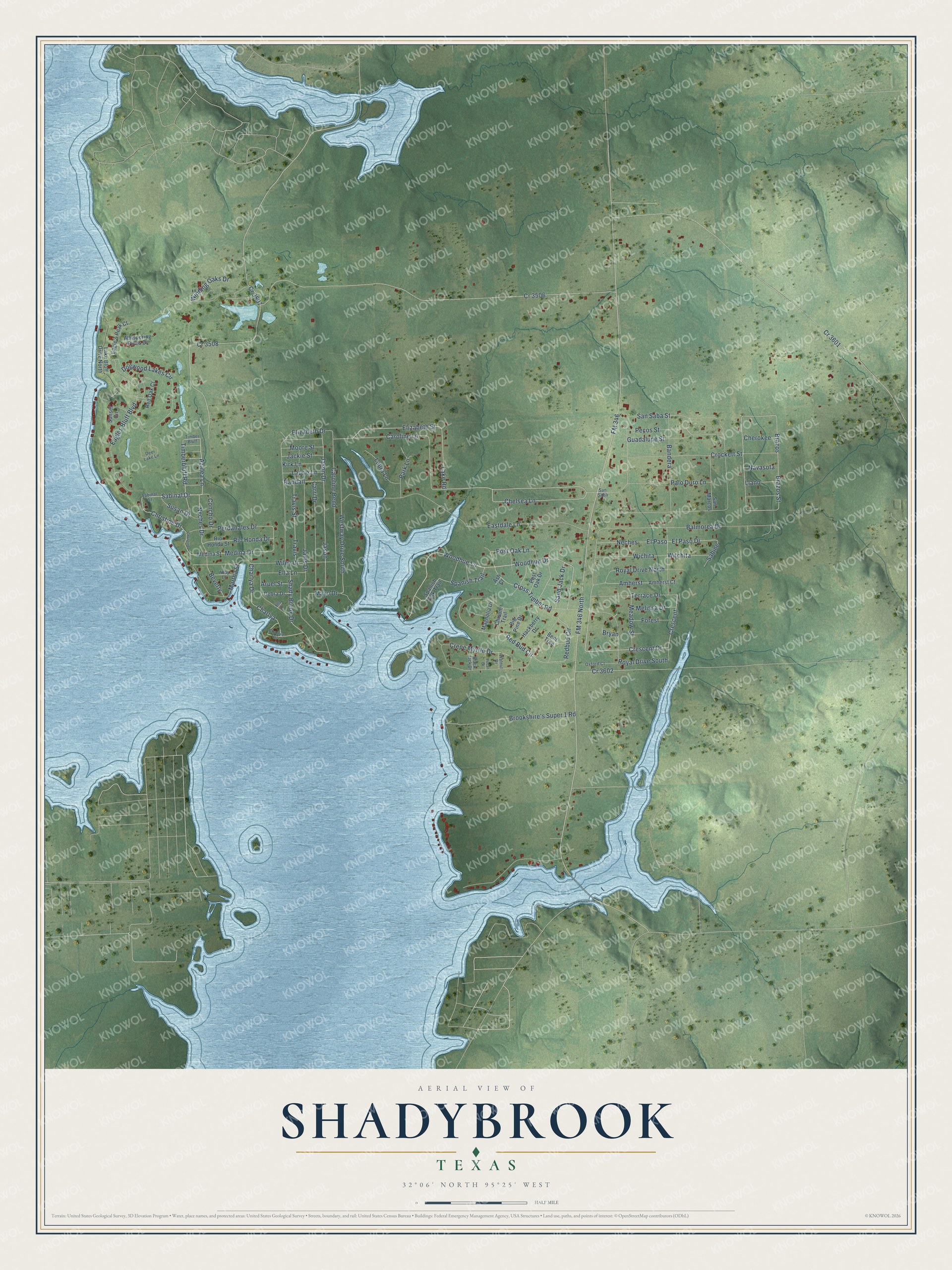
This beautifully detailed map of Shadybrook, Texas was created in 2026 using aerial imagery combined with modern topographical, census, street and landmark data. It's a modern aerial view of Shadybrook in Cherokee County, Texas, that combines modern data with a vintage aesthetic. The roads feature printed names, and if you look closely you can find your exact house accurately shown in its correct location.
Explore an aerial view of Shadybrook, Texas
On this map you'll find Azalea Lane, Sabinal Drive, Crescent, Woodhue Lane, Woodhue Drive, FM 346, Charlya Drive, Caroline Lane, Chelsea Lane, Post Oak Lane, El Paso Drive, Elizabeth Street, and more. Each red shape is a building, so zoom in on the preview and look for yours.
Shadybrook is a community in Cherokee County. The Census Bureau counted 2,400 people here in 2020. Shadybrook sits about 3 miles east of Coffee City, 3 miles northeast of Berryville and 3 miles south of Emerald Bay. The map prints the town name in its title panel, with the coordinates below it.
Take a closer look at the Shadybrook map
Names on this map
These names are printed on this map.
Streets and roads: Azalea Lane, Sabinal Drive, Cr 3507, Crescent, Woodhue Lane, Woodhue Drive, FM 346, Charlya Drive, Caroline Lane, Chelsea Lane, Post Oak Lane, El Paso Drive.
More street names, A to Z
Abby Lane, Amherst, Amherst Court, Aruel Street, Ash Court, Balmorea Drive, Bandera, Bent Tree, Beverly, Big Pine Drive, Black Jack Drive, Brazos, Brazos Street, Brookshire's Super 1 Road, Bryan, Caroline Bend, Carri Drive, Charlya, Charlya Circle, Cherokee, Chisum Trail, Christine Drive, Christine Lane, Concho Drive, Cr 3506, Cr 3508, Cr 3601, Cr 3602, Crepe Myrtle Drive, Crescent Drive, Crockett Street, Cross Timber Road, Debra Drive, Deer Lake Lane, Dogwood Lakes Circle, Eagle's Peak Court, Eagles Bluff Boulevard, Eastdale Lane, Elizabeth Drive, Elizabeth Street, Ella Court, Ella Lane, El Paso, FM 346 North, Forest, Guadalupe Street, Hackberry Drive, Jackie Street, Janis Drive, Jason, Jason Drive, Kirk Lane, Lake Bluff Drive North, Lake Road, Laura Lane, Laurie Lane, Llano, Magnolia Drive, Martha Street, Mayo Drive, Meadow Street, Medina Drive, Medina Street, Melissa Drive, Moore Street, Navasota, Neches, Neches Drive, Oxford Court, Palo Duro Lane, Park Lane, Pecan Drive, Pecos Street, Perdanales Drive, Post Oak Drive, Randall, Red Bud Circle, Redbud Circle, Red Oak Court, Rio Honda Drive, Rio Hondo Street, Royal Drive North, Royal Drive South, Sabinal Street, Sabine, Sand Jack Drive, San Marcos, San Saba, San Saba Street, Shady Brook Drive, Spanish Oak Trail, Spanish Trail, Sunset Circle, Susan Drive, Terrace Drive, Timber Bluff, Timberbluff Road, Travis, Travis Street, Walnut Drive, Westway Drive South, Whispering Pines Drive, Wichita, Wiley Drive, Winding Oaks Drive, Witchita.
See it on a wall
The Shadybrook map as a framed print. Swipe for more.


Created by KNOWOL in 2026. The buildings are small red shapes, the roads carry their printed names, and shaded relief shows the shape of the land. The title panel reads "AERIAL VIEW OF SHADYBROOK, TEXAS" with 32°06' NORTH 95°25' WEST.
Hang it in the hallway, the office or the cabin, or give it to someone who left Shadybrook and still calls it home. Open the preview and look for a street you know. See sizes and frames for the Shadybrook map.