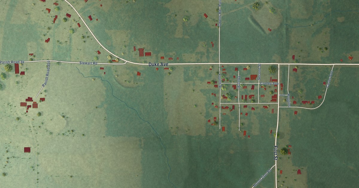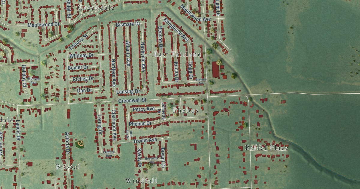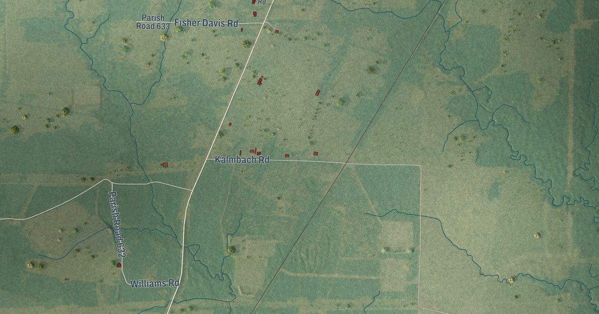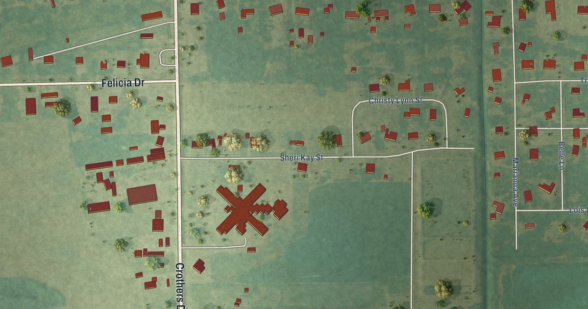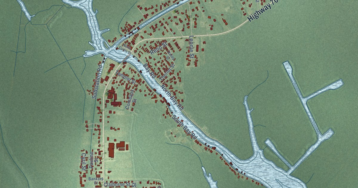
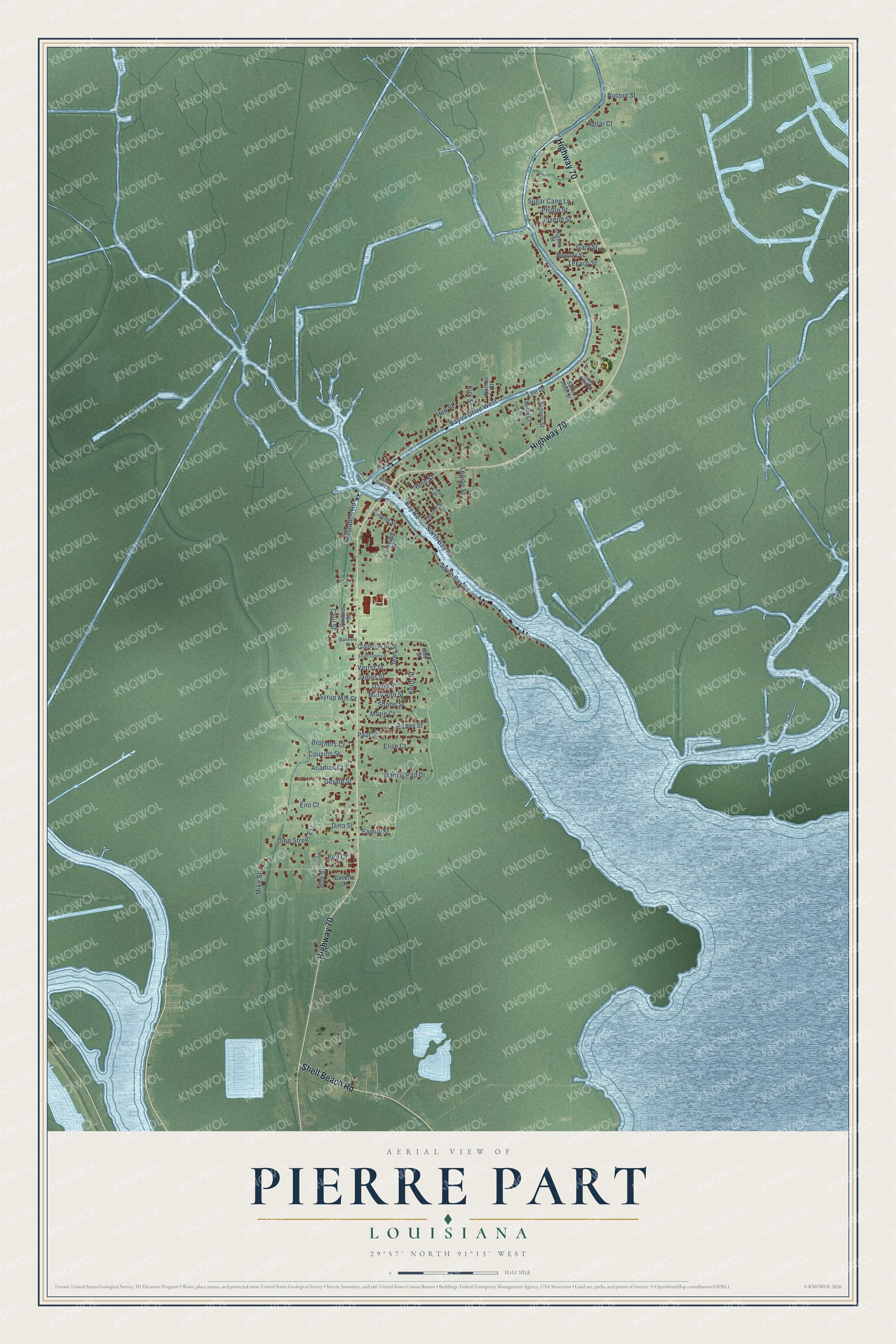
This beautifully detailed map of Pierre Part, Louisiana was created in 2026 using aerial imagery combined with modern topographical, census, street and landmark data. It's a modern aerial view of Pierre Part in Assumption Parish, Louisiana, that combines modern data with a vintage aesthetic. The roads feature printed names, and if you look closely you can find your exact house accurately shown in its correct location.
Explore an aerial view of Pierre Part, Louisiana
On this map you'll find Highway 70, Shell Beach Road, Bay Road, North Bay Road, Lee Drive, South Bay Road, Mike Street, Leonie Street, James Street, Eno Court, Elise Court, Paul Street, and more. Each red shape is a building, so zoom in on the preview and look for yours.
Every town has a first chapter, and Pierre Part is no exception. Pierre Part took its name from a Frenchman, Pierre Part, though even the oldest residents could not say when. Young Frenchmen and Spaniards escaping conscription in the Napoleonic Wars found safety in the settlement, and its people lived chiefly by lumbering, fishing, trapping and gathering Spanish moss. In 1953 Joe Landry, one of the few regular moss gatherers left in Pierre Part, was getting 7 cents a pound, selling to a buyer who bought moss for the gin at Paincourtville. That's from the Attakapas Gazette.
Pierre Part is a community in Assumption Parish. The Census Bureau counted 3,024 people here in 2020.
Take a closer look at the Pierre Part map
Names on this map
These names are printed on this map.
Streets and roads: Highway 70, Shell Beach Road, Bay Road, North Bay Road, Lee Drive, Bayou Drive West, South Bay Road, Mike Street, Leonie Street, James Street, Eno Court, Elise Court.
More street names, A to Z
Acadian Court, Agnes Street, Angella Street, Aucoin Street, Bankers Court, Ben Court, Boo Street, Brothers Court, Claiborne Street, Comeaux Street, Cousins Street, Cyril Street, Danette Court, David Street, Dino Street, Dino Street Extension, Family Street, Gary Street, Gerald Street, Guy Street, Hallar Court, Hue Street, Jean Street, Joseph Street, Keith Street, Kirk Street, Leah Court, Mam & Pap Drive, Marie Court, Mary Ann Street, Mercury Street, Misty Court, Myrtle Court, Nathan Street, North Curtis Street, Pauline Street, Paul Street, Phillip Street, Randy Street, Reno Street, Saint John Street, Saint Peter Street, Shane Street, Simone Street, South Landry Street, Substation Road, Sugar Cane Lane, Syrup Mill Court, Templet Street, Texaco Street, Theriot Street, Verret Street.
See it on a wall
The Pierre Part map as a framed print. Swipe for more.


Created by KNOWOL in 2026. The buildings are small red shapes, the roads carry their printed names, and shaded relief shows the shape of the land. The title panel reads "AERIAL VIEW OF PIERRE PART, LOUISIANA" with 29°57' NORTH 91°13' WEST.
Hang it in the hallway, the office or the cabin, or give it to someone who left Pierre Part and still calls it home. Open the preview and look for a street you know. See sizes and frames for the Pierre Part map.