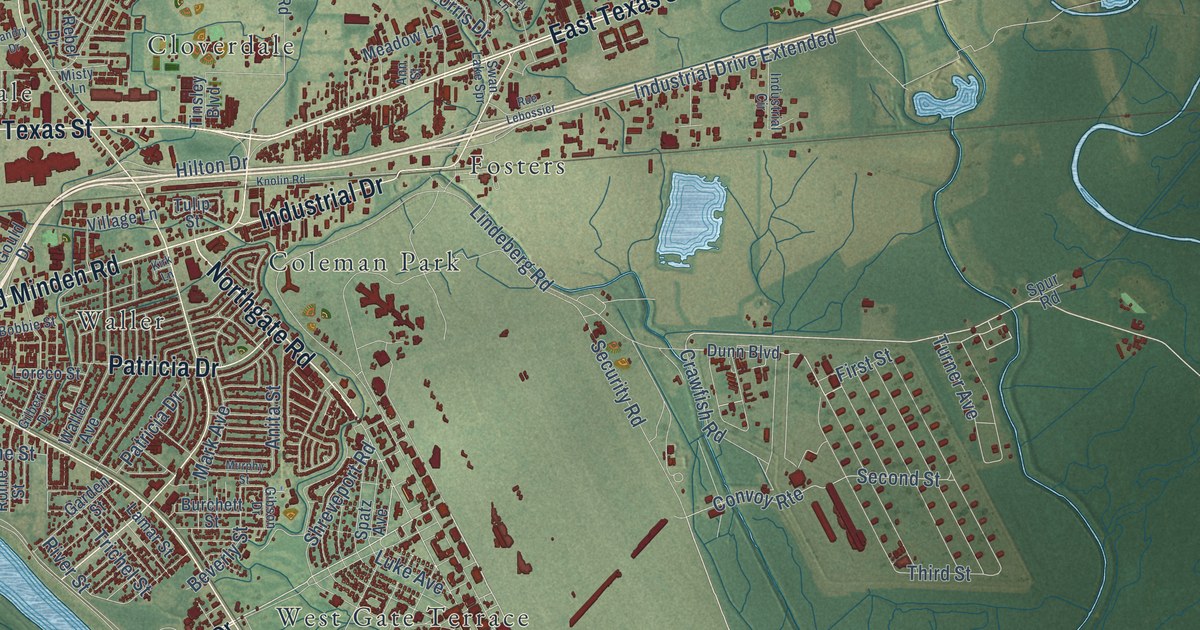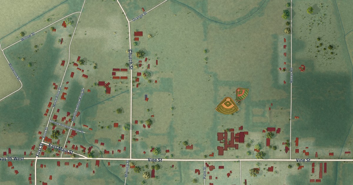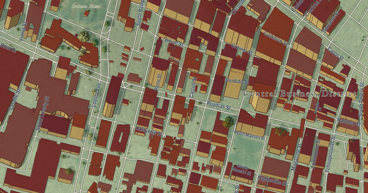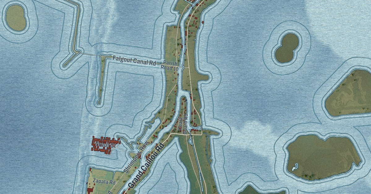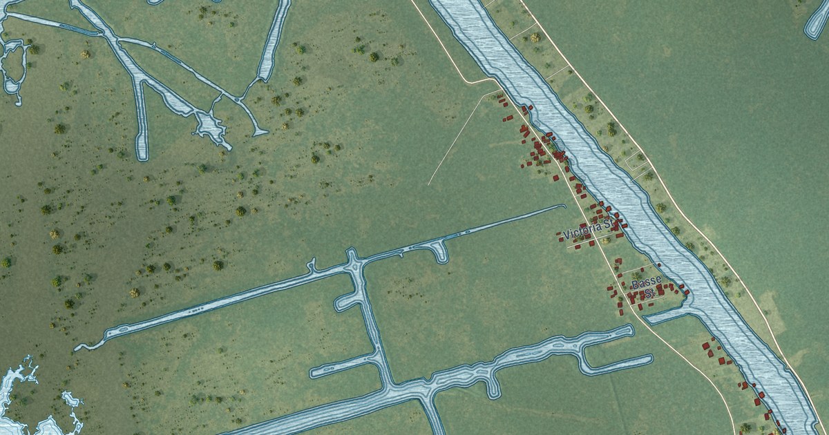
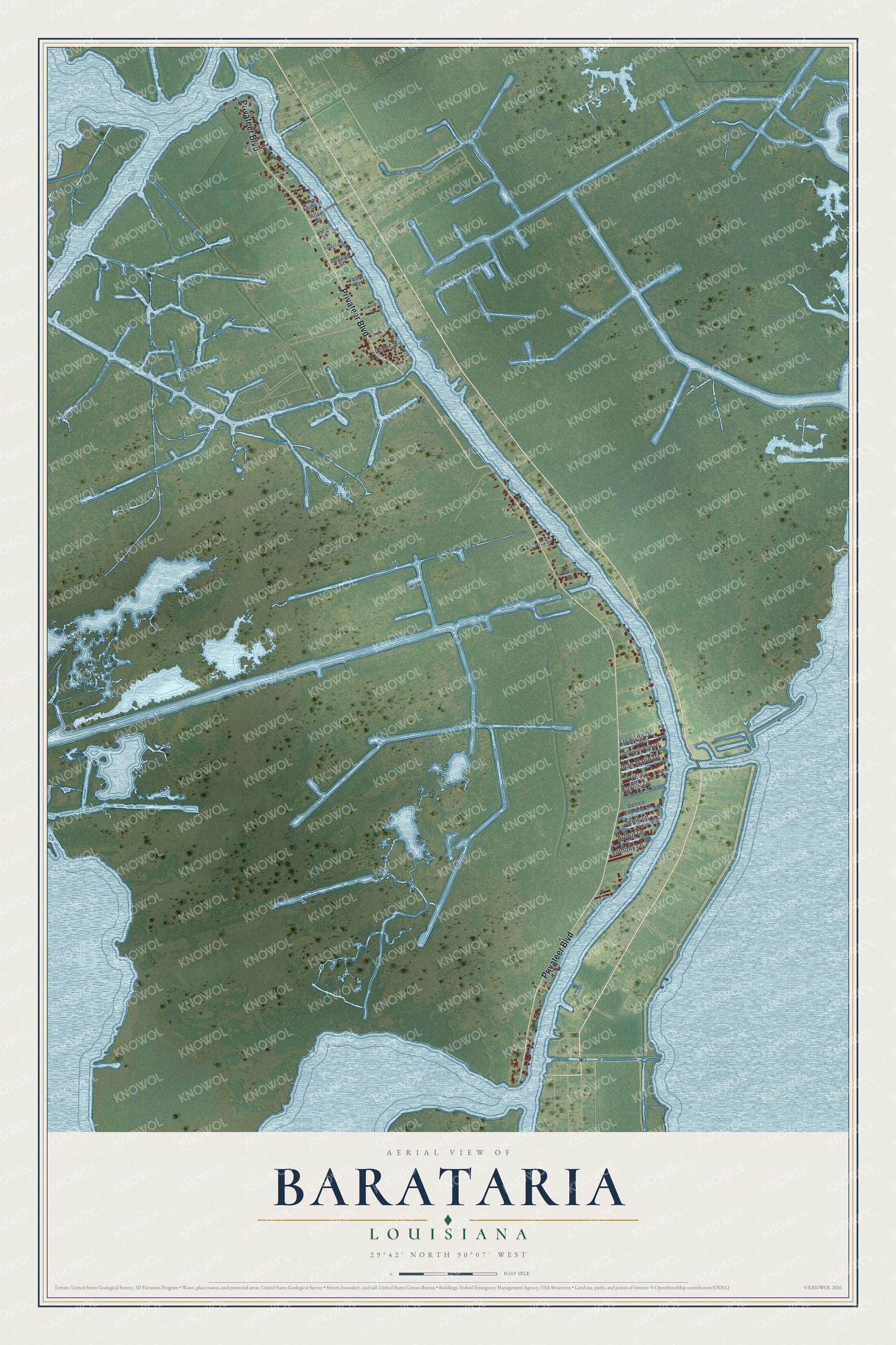
This beautifully detailed map of Barataria, Louisiana was created in 2026 using aerial imagery combined with modern topographical, census, street and landmark data. It's a modern aerial view of Barataria in Jefferson Parish, Louisiana, that combines modern data with a vintage aesthetic. The roads feature printed names, and if you look closely you can find your exact house accurately shown in its correct location.
Explore an aerial view of Barataria, Louisiana
On this map you'll find Privateer Boulevard, Arthur Lane, Joan Marie Drive, Jenic Lane, Kaylee Lane, Lisa Ann Drive, Anthony Lane, Deborah Ann Drive, Denice Leblanc Lane, Victoria Street, Lepine Street, Fabre Street, and more. Each red shape is a building, so zoom in on the preview and look for yours.
Every town has a first chapter, and Barataria is no exception. The name Barataria comes from Don Quixote. Le Page du Pratz, an early historian of Louisiana, saw this land, closed in by lakes and their outlets, as an island on dry land, like the island Sancho Panza was made governor of in the novel. A map of 1732 already called it Isle Barataria. In time the place sixteen miles south of New Orleans was simply called Barataria, and the name spread to the bayou and the bay. That's from the Louisiana State University Press.
Barataria is a community in Jefferson Parish. The Census Bureau counted 1,057 people here in 2020.
Take a closer look at the Barataria map
Names on this map
These names are printed on this map.
Streets and roads: Privateer Boulevard, Arthur Lane, Joan Marie Drive, Jenic Lane, Kaylee Lane, Lisa Ann Drive, Anthony Lane, Deborah Ann Drive, Denice Leblanc Lane, Victoria Street, Lepine Street, Fabre Street.
More street names, A to Z
Allen Street, Basse Street, Elmore Street, Fran Lane, John Street, Renaud Street, Roy Adams Street, Sandy Lane.
See it on a wall
The Barataria map as a framed print. Swipe for more.


Created by KNOWOL in 2026. The buildings are small red shapes, the roads carry their printed names, and shaded relief shows the shape of the land. The title panel reads "AERIAL VIEW OF BARATARIA, LOUISIANA" with 29°42' NORTH 90°07' WEST.
Hang it in the hallway, the office or the cabin, or give it to someone who left Barataria and still calls it home. Open the preview and look for a street you know. See sizes and frames for the Barataria map.