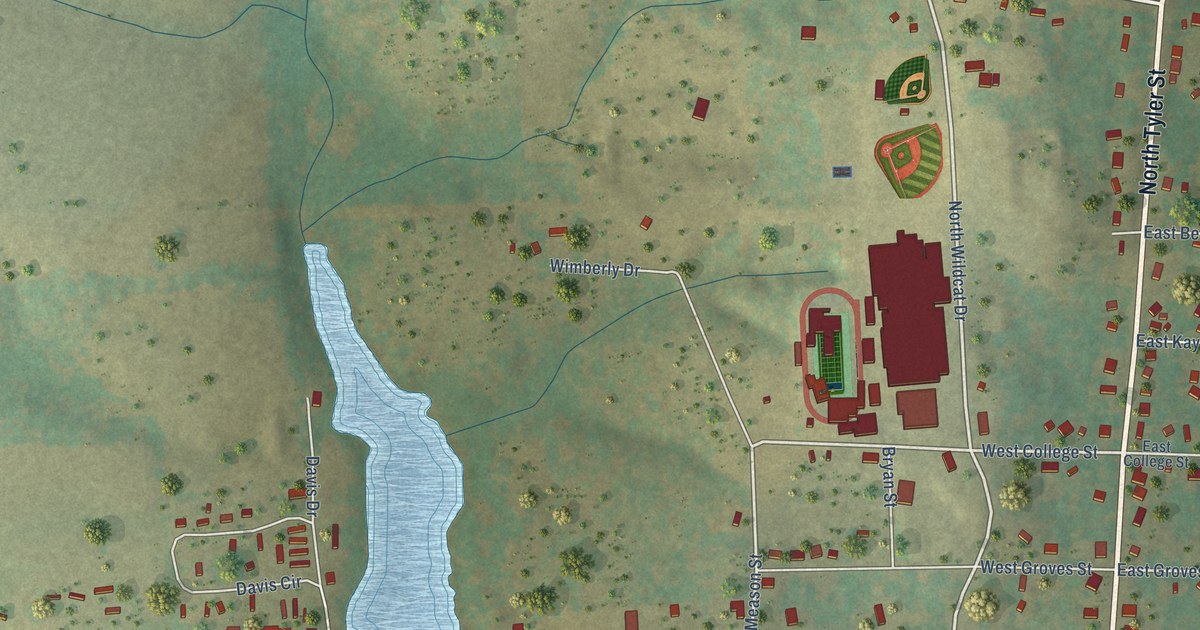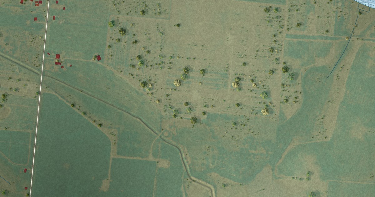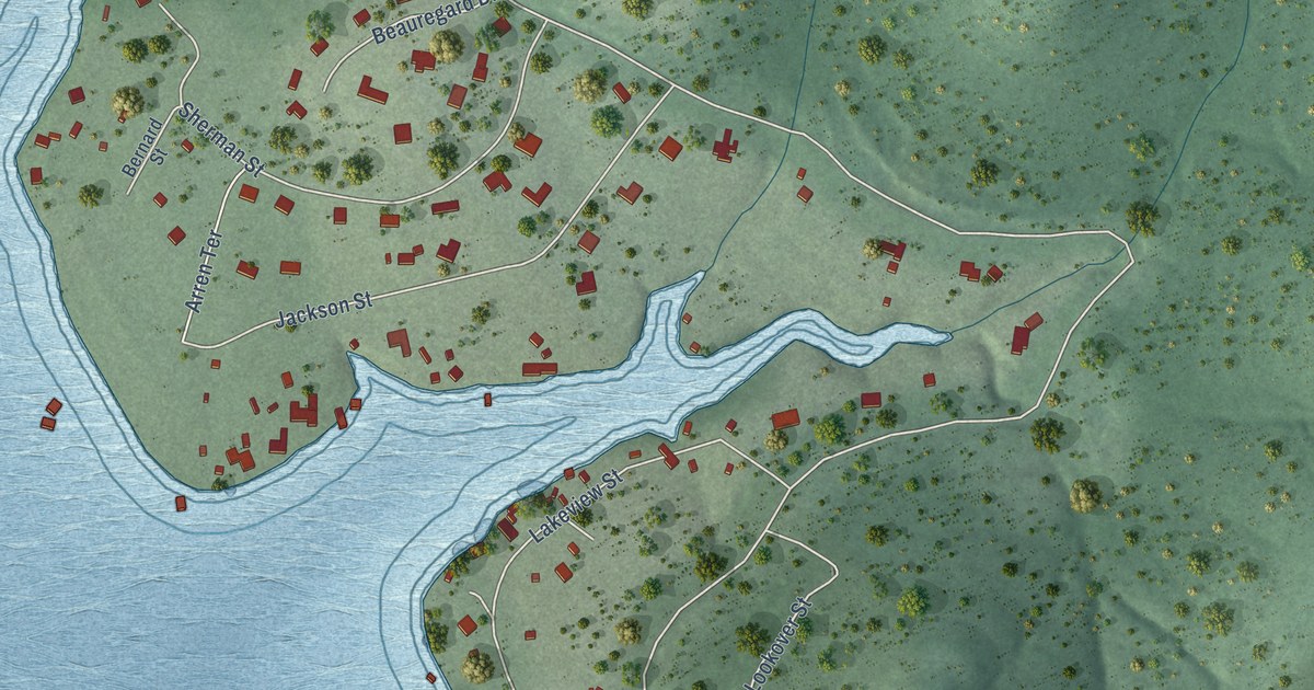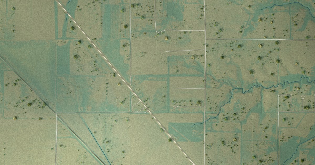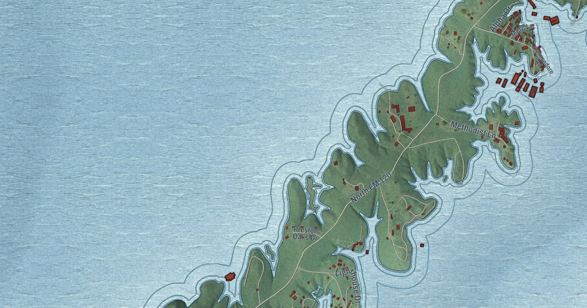
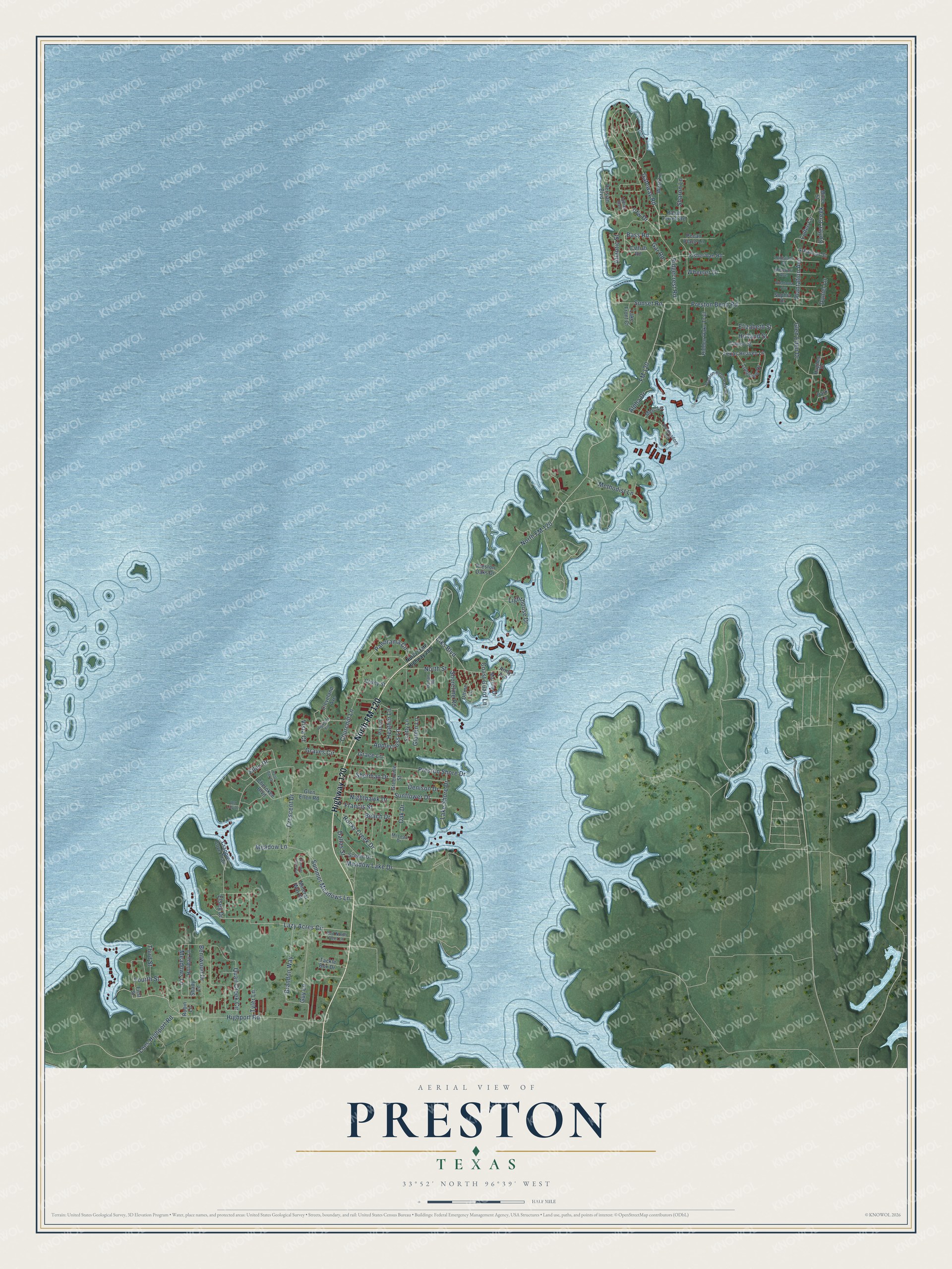
This beautifully detailed map of Preston, Texas was created in 2026 using aerial imagery combined with modern topographical, census, street and landmark data. It's a modern aerial view of Preston in Grayson County, Texas, that combines modern data with a vintage aesthetic. The roads feature printed names, and if you look closely you can find your exact house accurately shown in its correct location.
Explore an aerial view of Preston, Texas
On this map you'll find North FM 120, Highway 120, Gateway Road, Bass Road, Glen Eden Drive, Lazy Acres Circle, Elks Boulevard, Vfw Drive, Meadow Lake Drive, Sunflower Drive, Coffee Creek, Ellen Drive, and more. Each red shape is a building, so zoom in on the preview and look for yours.
Every town has a first chapter, and Preston is no exception. Preston grew up around a trading post that Silas Cheek Colville and Holland Coffee set up about 1837, on a high bluff in the Washita Bend of the Red River. It became an important river crossing, and an estimated 1,000 wagons crossed there in a single year. The settlement was the end of the Texas Road through the Indian Nation and the beginning of what became the Preston Road. The Shawnee Trail crossed there too. That's from the Handbook of Texas.
Preston is a community in Grayson County. The Census Bureau counted 2,101 people here in 2020.
Take a closer look at the Preston map
Names on this map
These names are printed on this map.
Streets and roads: North FM 120, Highway 120, Gateway Road, Bass Road, Glen Eden Drive, Lazy Acres Circle, Elks Boulevard, Vfw Drive, Meadow Lake Drive, Sunflower Drive, Coffee Creek, Ellen Drive.
More street names, A to Z
Alpha Drive, Applecross Lane, Arkansas Street, Army Avenue, Atlantic Street, Beach Drive, Bentwood Drive, Brandon Way, Cameo Street, Catfish Road, Cherokee Boulevard, Churchill Lane, Cleveland Avenue, Coast Guard Lane, Coffee Circle, Commodore Road, Covey Street, Crappie Cove Trail, Crescent Drive, Dallas Street, Daniel Lane, Denison Drive, Elizabeth Street, Elsey Drive, First Street, Fisherman Road, FM 120, Fourth Street, Francis Street, Gar Road, Glen Ellen Road, Glomin Lane, Grace Lane, Graves Circle, Greenville Street, Guy Lane, Harlan Road, Heather Lane, Hidden Oaks Trail, Highland Circle, Highport Road, Holiday Lane, Holland Street, Hughes Drive, Indian Boulevard, Lake Front Court, Lake Shore Drive, Lighthouse Drive, Loes Highport Road, Longview Drive, Louisiana Street, Marine Drive, McLean Drive, Meadow Lane, Meadows Lane, Merc Lane, Methodist Lane, Miller Street, Mineral Way Drive, Missouri Avenue, Nighthawk Drive, North State Highway 289, North Street, Oak Drive, Oklahoma Avenue, Old Lilly Drive, Ottine Lane, Panorama Circle, Park Lane, Pat Lane, Pecan Place Lane, Persian Boulevard, Plantation Avenue, Post Oak Drive, Preston Bend Park Road, Preston Bend Road, Preston Oaks Drive, Preston Shore Drive, Quail Creek Circle, Ralph Terrell Road, Ridgecrest Road, Robin Lane, Rocky Creek Drive, Rod North Reel Lane, Scenic Drive, Scotty Lane, Shady Lane, Sharon Lane, Sherman Drive, Shoreline Road, Sophia Drive, Summer Meadows Lane, Summer Place Circle, Sunset Road, Tackle Box Drive, Texas Heaven Lane, Third Street, Tyler Lane, Vista Court, Ward Lane, Wheeler Drive.
See it on a wall
The Preston map as a framed print. Swipe for more.


Created by KNOWOL in 2026. The buildings are small red shapes, the roads carry their printed names, and shaded relief shows the shape of the land. The title panel reads "AERIAL VIEW OF PRESTON, TEXAS" with 33°52' NORTH 96°39' WEST.
Hang it in the hallway, the office or the cabin, or give it to someone who left Preston and still calls it home. Open the preview and look for a street you know. See sizes and frames for the Preston map.