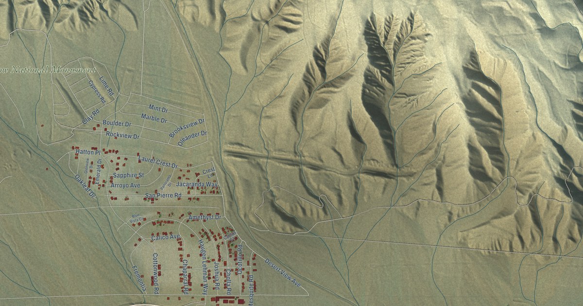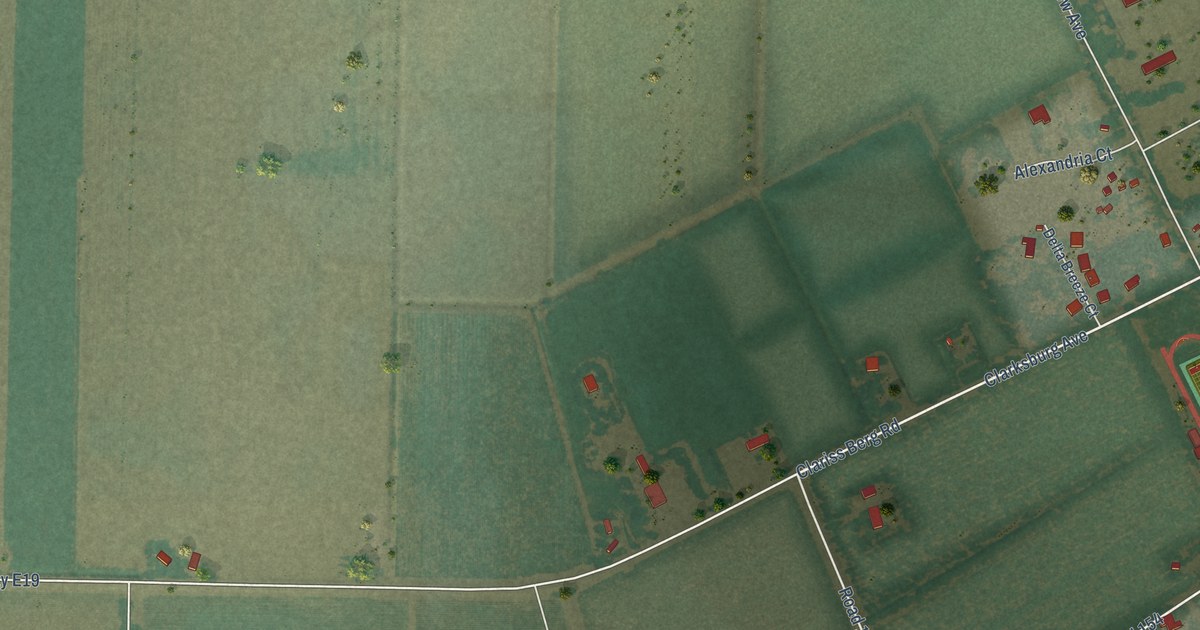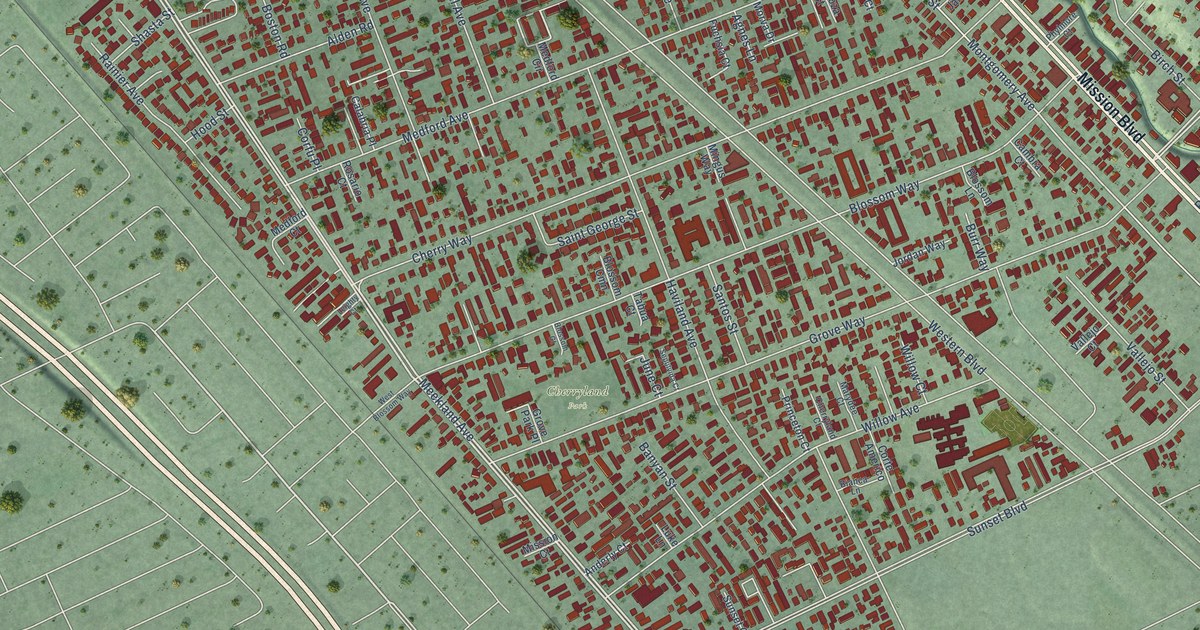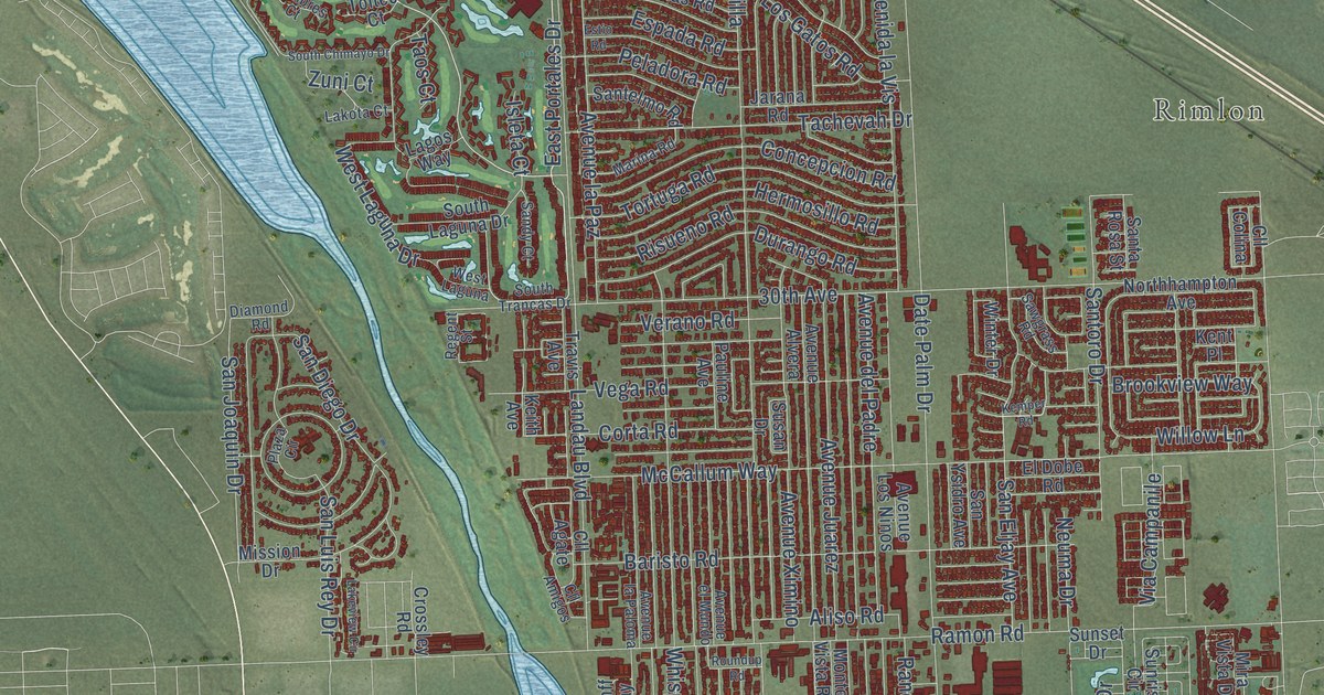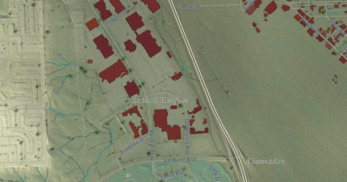
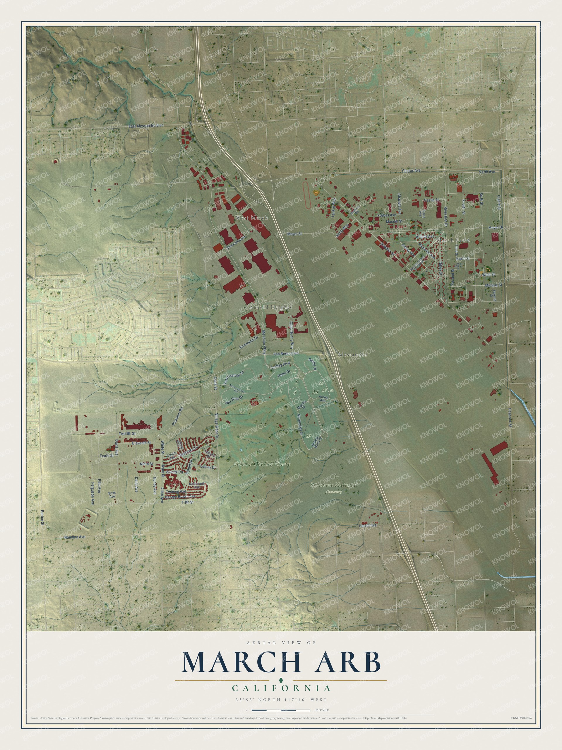
This beautifully detailed map of March ARB, California was created in 2026 using aerial imagery combined with modern topographical, census, street and landmark data. It's a modern aerial view of March ARB in Riverside County, California, that combines modern data with a vintage aesthetic. The roads feature printed names, and if you look closely you can find your exact house accurately shown in its correct location.
Explore an aerial view of March ARB, California
On this map you'll find West March, March Field, Arnold Heights, Alessandro, Riverside National Cemetery, General Old Golf Course, Ryan Street, North Avenue, George Brown Avenue, Dekay Avenue, Plummer Avenue, Cactus Avenue, and more. Each red shape is a building, so zoom in on the preview and look for yours.
March ARB has a story worth telling. The March Field Air Museum puts it this way: "On March 20, 1918, Alessandro Flying Training Field became March Field, named in honor of Second Lieutenant Peyton C. March, Jr., son of the Army Chief of Staff, who had been killed in a flying accident in Texas the previous month." Within a record 60 days, the grain stubble on the Moreno Valley plain had given way to 12 hangars, six barracks for 150 men each, mess halls and a hospital.
March ARB is a community in Riverside County. The Census Bureau counted 809 people here in 2020.
Take a closer look at the March ARB map
Names on this map
These names are printed on this map.
Places: West March, March Field, Arnold Heights, Alessandro, Riverside National Cemetery and General Old Golf Course.
Streets and roads: Ryan Street, North Avenue, George Brown Avenue, Dekay Avenue, Plummer Avenue, Cactus Avenue, Heacock Street, Van Buren Boulevard, Plummer Road, Graeber Street, Meridian Parkway, Nandina Avenue.
More street names, A to Z
Adams Avenue, Airlift Way, Allen Avenue, Arnold Drive, Barton Street, Baucom Avenue Southeast, Belleau Wood Drive, Bundy Avenue, Castle Street, Chanute Avenue, Clark Street, Dalla Avenue, Darby Drive, Davis Avenue, East Alessandro Boulevard, Economic Drive, Eighth Street, Eleventh Street, Ellis Avenue, Ferguson Avenue, Fifth Street, Forbes Avenue, Foulois Avenue, Fourth Street, Gilley Street, Hahn Drive, Harvill Avenue, Innovation Drive, Iwo Jima Drive, Korea Avenue, Lejeune Drive, Lemay Boulevard, Lemay Drive, Macdill Street, Manilla Drive, McConnell Avenue, Meuse-Argonne Avenue, Meyer Drive, Meyer Street, Midway Street, Minuteman Way, Ninth Street, Normandy Drive, North Street, Opportunity Way, Pearl Harbor Drive, Riverside Drive, Second Street, Seventh Street, Short Street, Sixth Avenue, Sixth Street, Spaatz Circle, Tanker Way, Tenth Street, Third Street, Thomas White Drive, Travis Avenue, Twelfth Street, Twining Avenue, Village West Drive, Westover Circle, West Street, White Street.
See it on a wall
The March ARB map as a framed print. Swipe for more.


Created by KNOWOL in 2026. The buildings are small red shapes, the roads carry their printed names, and shaded relief shows the shape of the land. The title panel reads "AERIAL VIEW OF MARCH ARB, CALIFORNIA" with 33°53' NORTH 117°16' WEST.
It looks right in a kitchen, an office or a den, and it's a gift for anyone who grew up in March ARB or moved away. Open the preview and find your street. See sizes and frames for the March ARB map.