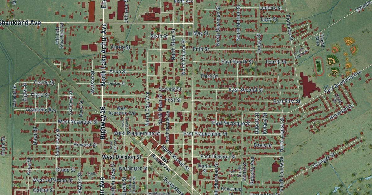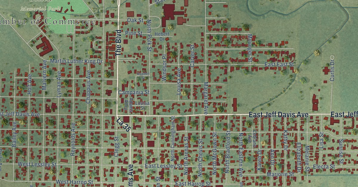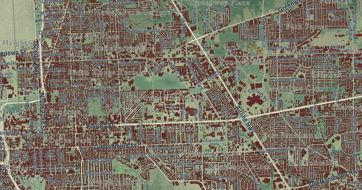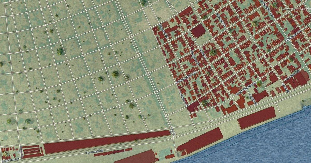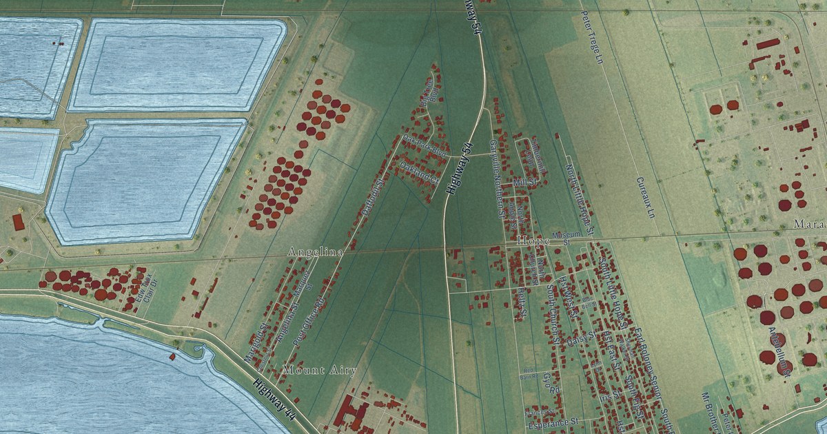
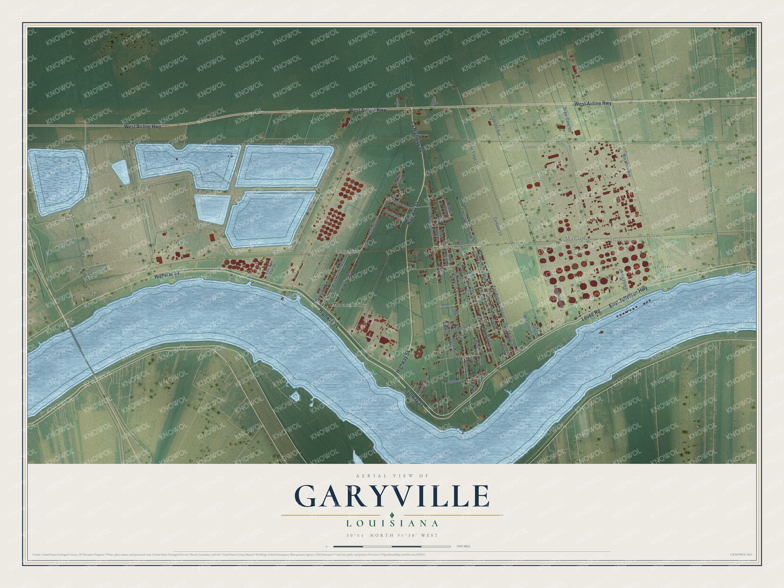
This beautifully detailed map of Garyville, Louisiana was created in 2026 using aerial imagery combined with modern topographical, census, street and landmark data. It's a modern aerial view of Garyville in St. John the Baptist Parish, Louisiana, that combines modern data with a vintage aesthetic. The roads feature printed names, and if you look closely you can find your exact house accurately shown in its correct location.
Explore an aerial view of Garyville, Louisiana
On this map you'll find Mount Airy, Lions, Hope, Angelina, Marathon, Welcome, Dolsen, East Jefferson Highway, Levee Road, Highway 44, West Airline Highway, Highway 54, and more. Each red shape is a building, so zoom in on the preview and look for yours.
Here is a piece of Garyville history. Garyville, the first planned community in the River Parishes, grew up after Lyons Lumber opened in 1903 on the old Glencoe Plantation. As the story goes, Thomas R. Lyon did not want the company town named for himself, so it was named for his son-in-law John W. Gary, who had missed the board meeting. When it was founded, Garyville was home to what was then called the world's largest cypress lumber company. That's from the River Parishes newspaper L'Observateur.
Garyville is a community in St. John the Baptist Parish. The Census Bureau counted 2,123 people here in 2020.
Take a closer look at the Garyville map
Names on this map
These names are printed on this map.
Places: Mount Airy, Lions, Hope, Angelina, Marathon, Welcome and Dolsen.
Streets and roads: East Jefferson Highway, Levee Road, Highway 44, West Airline Highway, Highway 54, La Highway 54, South Emile Street, Earl Boloney Senior, South Fig Street, Marathon Avenue, Garyville Northern Street, South Church Street.
More street names, A to Z
Aaron Lane, Angelina Lane, Angelina Street, Anna Drive, Antebellum Street, Big Tree Boulevard, Blackberry Street, Blue Bell Street, Buster Street, Chestnut Street, Cureaux Lane, Daffodil Street, Daisy Street, Edw Trox Clair Drive, Epsilon Avenue, Esperance Street, Frances Street, Gyo Road, Heltz Street, Hst East Street, Hst Main Street, Hst West Street, Hymel Lane, Iris Street, Laiche Lane, Levet Street, Lois Lane, Lynn Drive, Marigold Street, Marquez Street, Miano Street, Mill Street, Mr Brother Lane, Museum Street, North Apple Street, North Church Street, North Little Hope Street, Oakland Court, Oak Park Boulevard, Peter Lane, Peter Trege Lane, Post Office Road, Red Barn Road, Roccaforte Avenue, Saint Pierre Lane, Sherman Walker Street, Shirley Lane, South Little Hope Street, Stout Street, Sugar Cane Road, Timbermill Loop, Vita Lane, Wckw Road, West 25th Street.
See it on a wall
The Garyville map as a framed print. Swipe for more.


Created by KNOWOL in 2026. The buildings are small red shapes, the roads carry their printed names, and shaded relief shows the shape of the land. The title panel reads "AERIAL VIEW OF GARYVILLE, LOUISIANA" with 30°04' NORTH 90°38' WEST.
It suits a den, a classroom or a front hall, and it makes a gift for anyone with Garyville roots. Open the preview and find the block you know. See sizes and frames for the Garyville map.