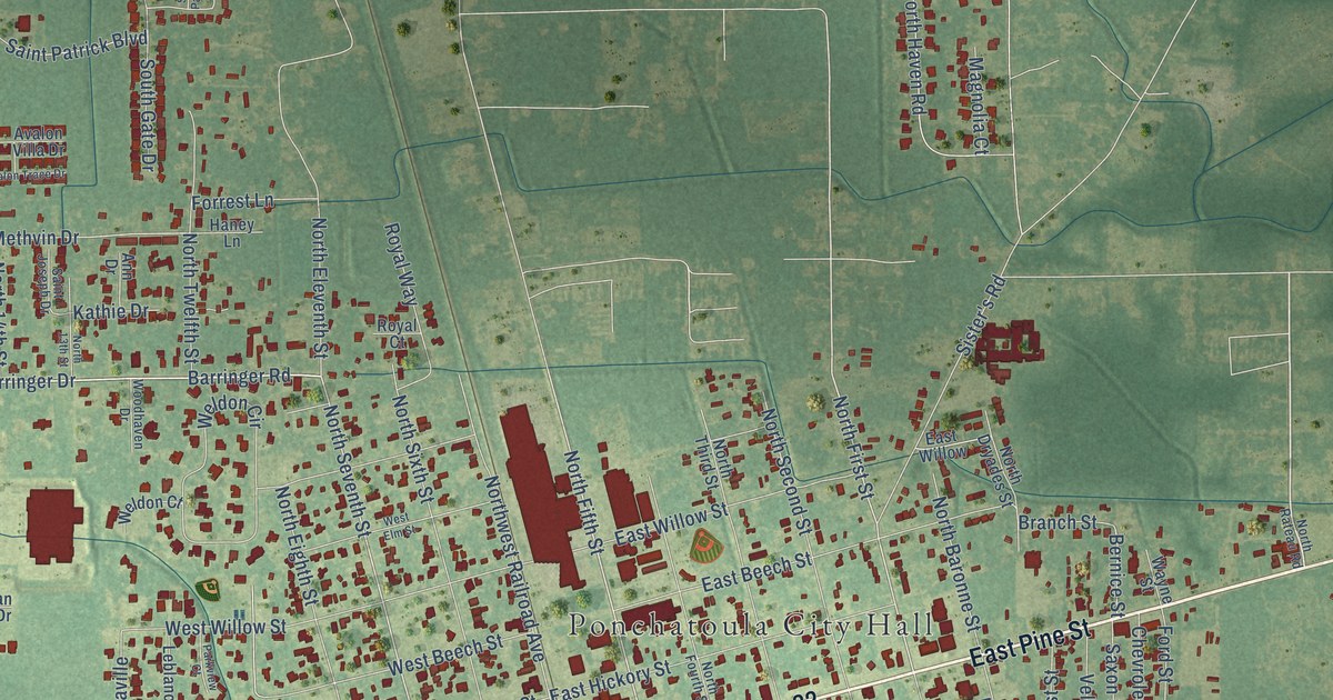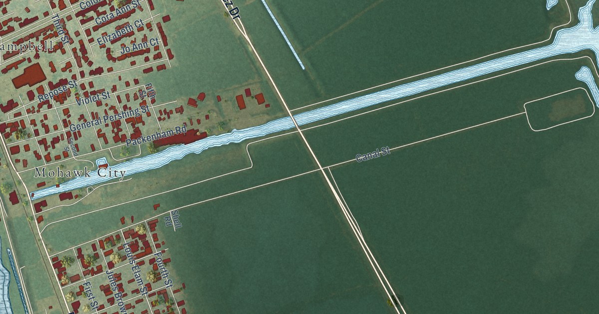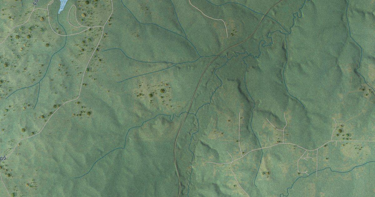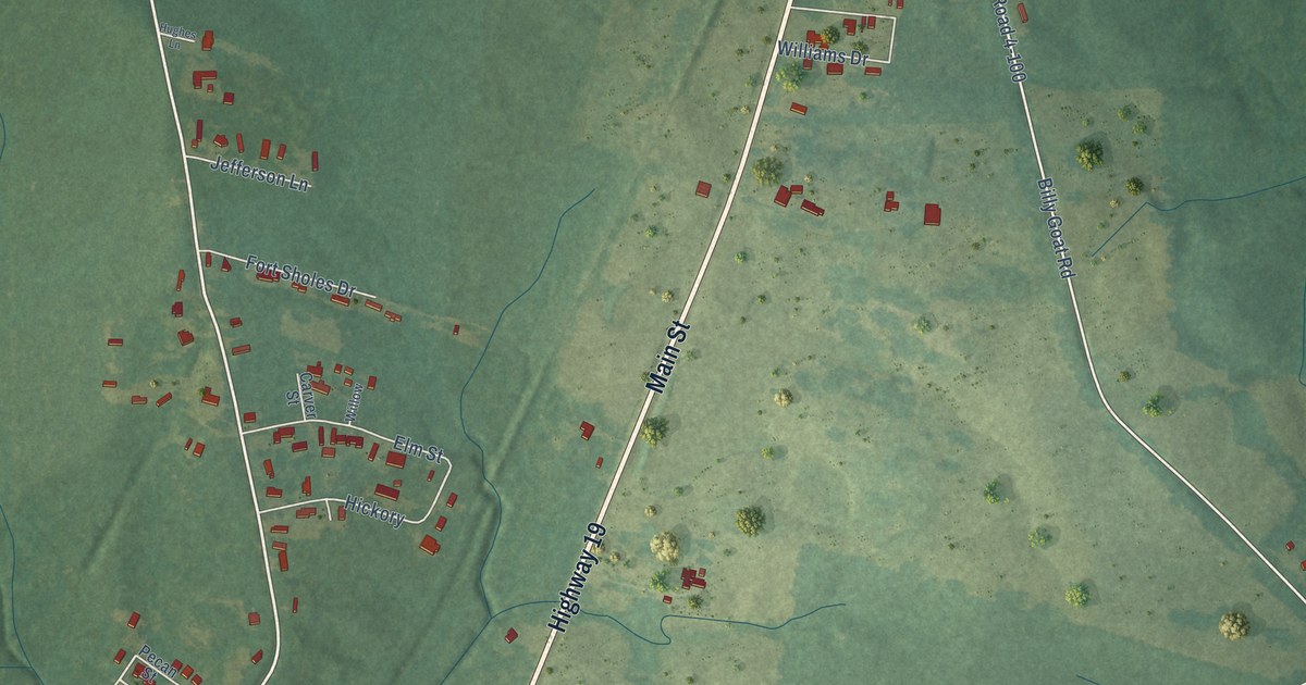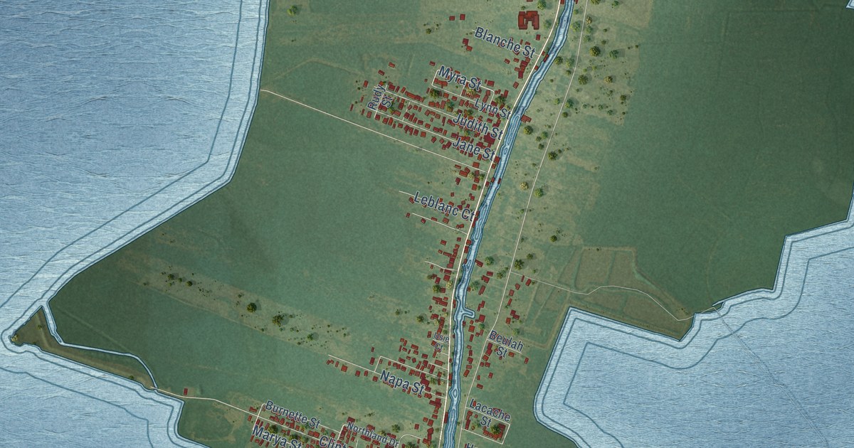
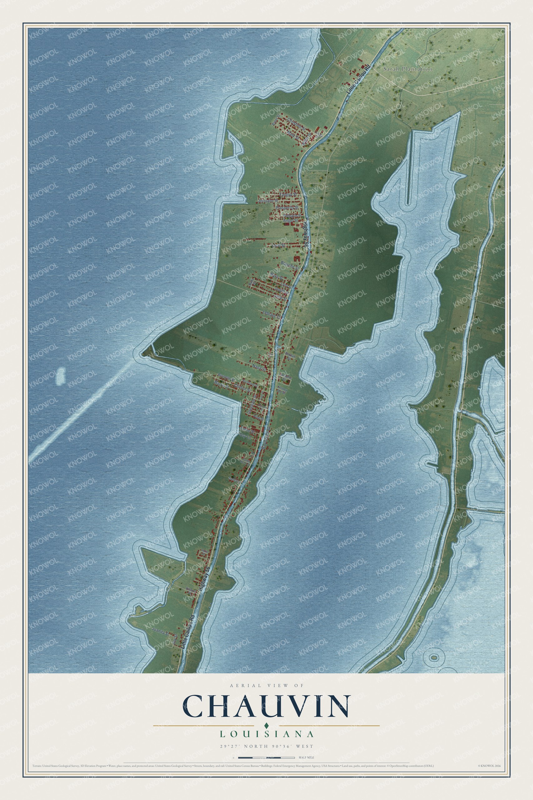
This beautifully detailed map of Chauvin, Louisiana was created in 2026 using aerial imagery combined with modern topographical, census, street and landmark data. It's a modern aerial view of Chauvin in Terrebonne Parish, Louisiana, that combines modern data with a vintage aesthetic. The roads feature printed names, and if you look closely you can find your exact house accurately shown in its correct location.
Explore an aerial view of Chauvin, Louisiana
On this map you'll find Sarah Plantation, Highway 56, Little Caillou Road, Marya Street, Myra Street, Willis Drive, Bayouside Drive, Clinton Street, Jerryann Street, Fanguy Street, Judith Street, Leve Street, and more. Each red shape is a building, so zoom in on the preview and look for yours.
Here is a piece of Chauvin history. In 1988 a bricklayer named Kenny Hill settled on a bayou-side lot in Chauvin, and in 1990 he began filling it with sculpture. Within a decade more than 100 mostly religious concrete figures stood there, led by a 45-foot lighthouse built of 7,000 bricks. The site was later given to Nicholls State University, and it opened to the public in 2002. That's from the Nicholls State University Folk Art Center.
Chauvin is a community in Terrebonne Parish. The Census Bureau counted 2,575 people here in 2020.
Take a closer look at the Chauvin map
Names on this map
These names are printed on this map.
Places: Sarah Plantation.
Streets and roads: Highway 56, Little Caillou Road, Marya Street, Myra Street, Willis Drive, Bayouside Drive, Clinton Street, Jerryann Street, Fanguy Street, Judith Street, Leve Street, Jane Street.
More street names, A to Z
Angel Street, Beulah Street, Blanche Street, Brent Street, Burnette Street, Chauvin Street, Christine Street, Ephie Street, Gates Lane, Gresham Street, Honey Do Street, Joy Street, Juanita Street, Lacache Street, Leblanc Court, Linda Drive, Lynn Street, Mark Street, Napa Street, Northland Drive, Pellegrin Street, Pine Street, Prosperity Street, Rex Court, Rudy Street, South Rec 7 Court, Suzie Street, Taylor Street, Usie Court, Usy Lane, Victory Street.
See it on a wall
The Chauvin map as a framed print. Swipe for more.


Created by KNOWOL in 2026. The buildings are small red shapes, the roads carry their printed names, and shaded relief shows the shape of the land. The title panel reads "AERIAL VIEW OF CHAUVIN, LOUISIANA" with 29°27' NORTH 90°36' WEST.
It suits a den, a classroom or a front hall, and it makes a gift for anyone with Chauvin roots. Open the preview and find the block you know. See sizes and frames for the Chauvin map.