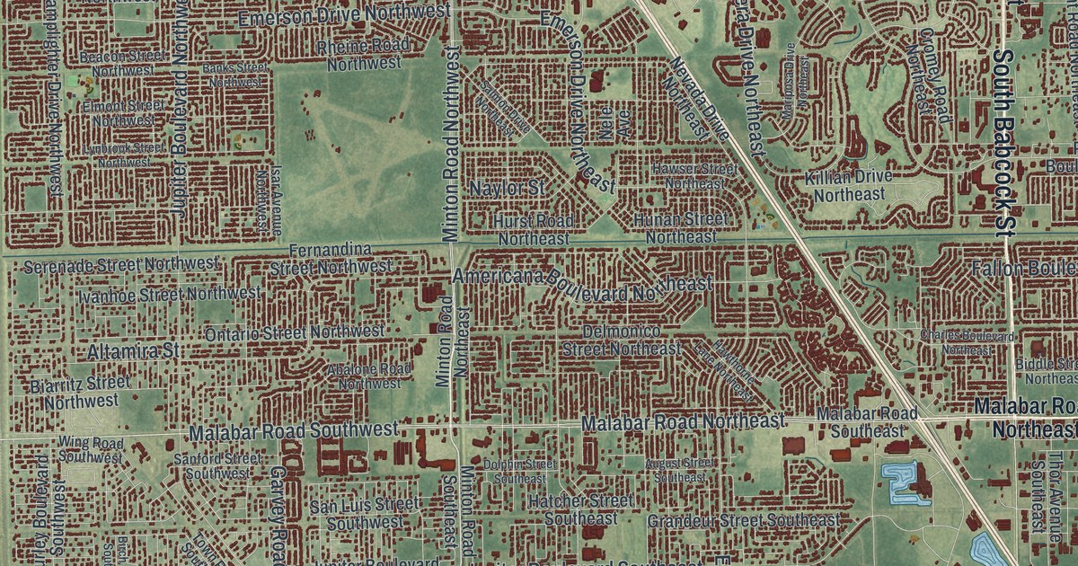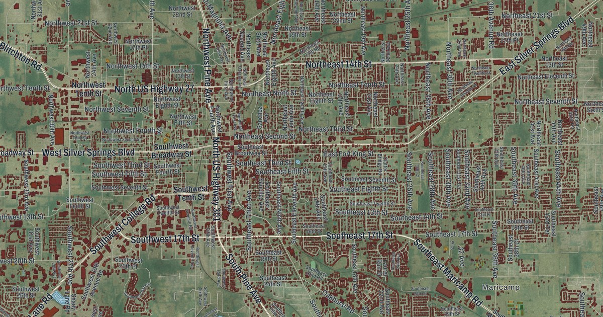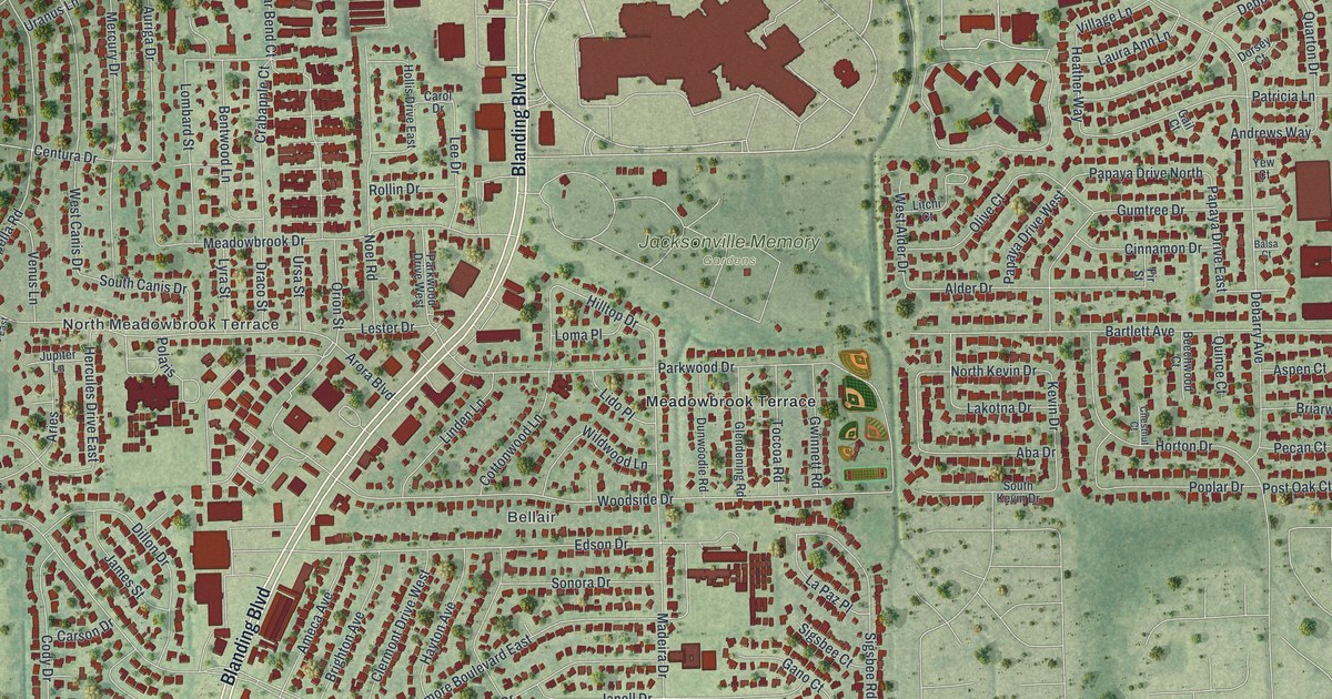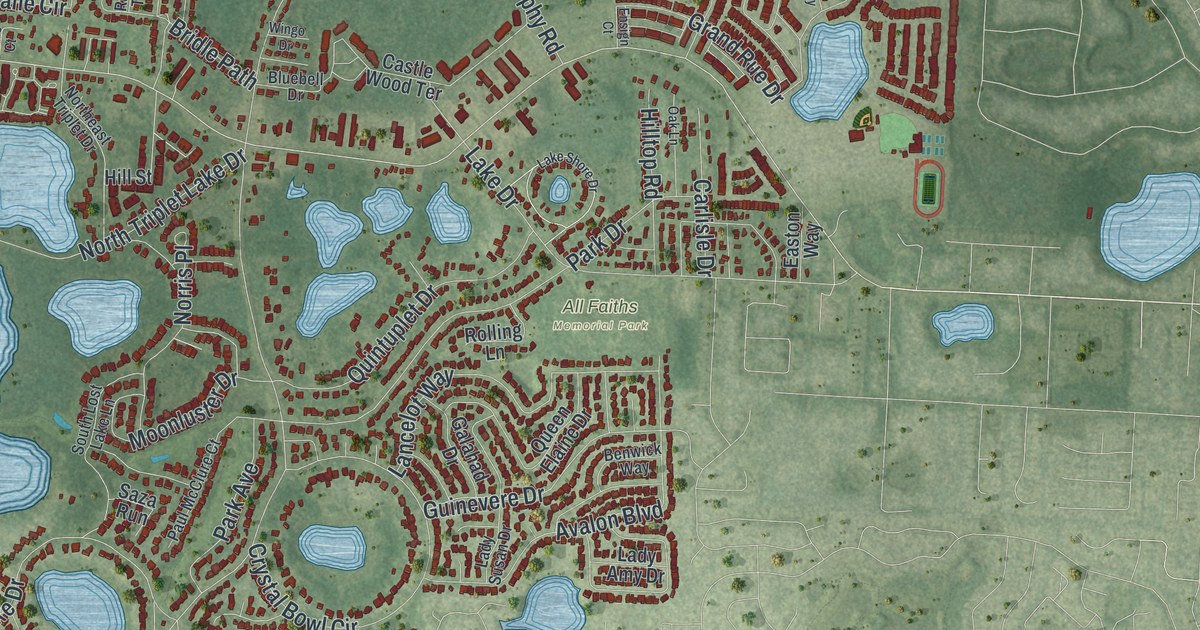
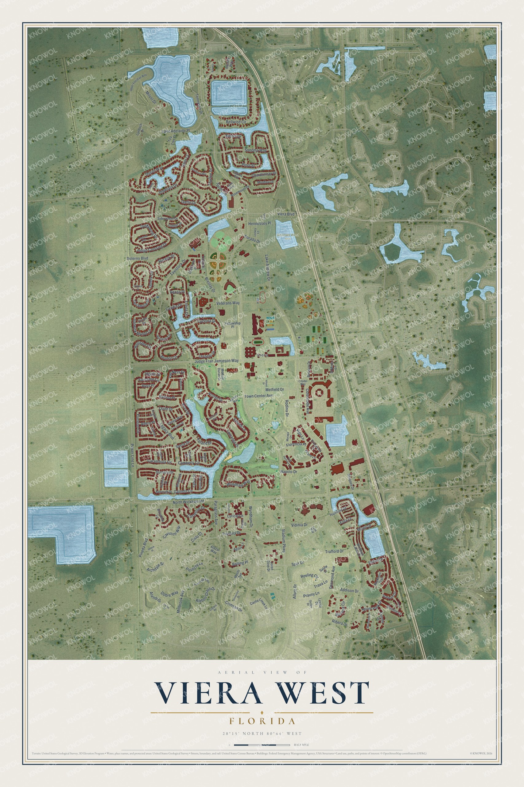
This beautifully detailed map of Viera West, Florida was created in 2026 using aerial imagery combined with modern topographical, census, street and landmark data. It's a modern aerial view of Viera West in Brevard County, Florida, that combines modern data with a vintage aesthetic. The roads feature printed names, and if you look closely you can find your exact house accurately shown in its correct location.
Explore an aerial view of Viera West, Florida
On this map you'll find Viera, Borrows West Park, Judge Fran Jamieson Way, Carambola Circle, Galindo Circle, Toland Drive, Savoy Drive, Indigo Crossing Drive, Reeling Circle, Saler Court, Stadium Parkway, Lake Andrew Drive, and more. Each red shape is a building, so zoom in on the preview and look for yours.
Here is a piece of Viera West history. Space Coast Stadium in Viera opened in March 1994 as the spring training home of the Florida Marlins. The Montreal Expos made it their spring home in 2003, and the Washington Nationals trained there through the 2016 season. The Brevard County Manatees of the Florida State League also played their home games there from 1994 through 2016. That's from the Deadball Baseball.
Viera West is a community in Brevard County. The Census Bureau counted 16,688 people here in 2020.
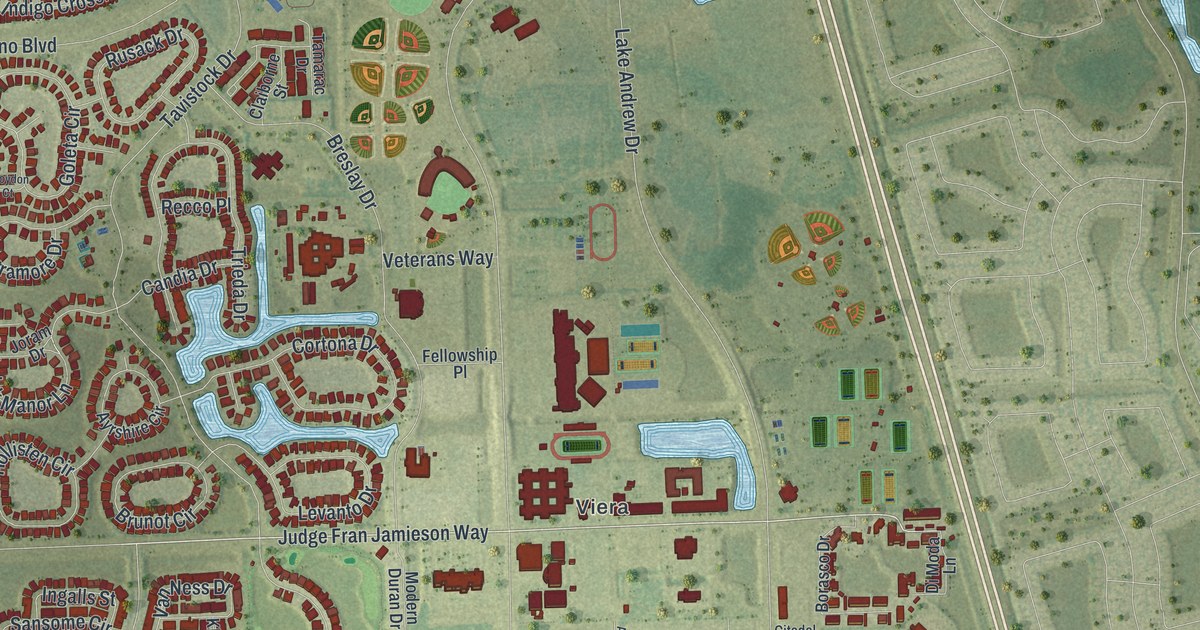
Take a closer look at the Viera West map
Names on this map
These names are printed on this map.
Places: Viera and Borrows West Park.
Streets and roads: Judge Fran Jamieson Way, Carambola Circle, Galindo Circle, Toland Drive, Savoy Drive, Indigo Crossing Drive, Reeling Circle, Saler Court, Stadium Parkway, Lake Andrew Drive, Power Line Lane, Tavistock Drive.
More street names, A to Z
Addison Drive, Agilny Lane, Ahern Place, Alandi Drive, Allure Drive, Altano Drive, Anza Street, Archdale Street, Arroyo Drive, Atazar Way, Ayrshire Circle, Balboa Place, Balting Place, Bancroft Drive, Barrosa Circle, Bellwind Circle, Bluemink Lane, Borasco Drive, Breslay Drive, Broderick Drive, Brunot Circle, Buckhorn Trail, Cache Creek Lane, Camberly Circle, Candia Drive, Casare Drive, Casterton Drive, Caviston Way, Chardonnay Drive, Chiming Lane, Cislo Court, Citadel Way, Claiborne Street, Colonnade Avenue, Coppola Way, Cortona Drive, Creshire Court, Crimson Drive, Croydon Court, Desmond Avenue, Di Moda Lane, Dobre Way, Drummond Way, Duskywing Drive, Duson Way, Egbert Street, Emeldi Lane, Eola Court, Fellowship Place, Florencia Place, Fodder Drive, Funston Circle, Gatlin Drive, Gatwick Manor Lane, Goleta Circle, Gullen Drive, Gurrero Drive, Halleck Street, Hennessey Place, Hollisten Circle, Hummingbird Way, Imperata Drive, Ingalls Street, Invite Way, Ivanhoe Drive, Joram Drive, Keplar Drive, Klein Lane, Lake Adelaide Place, Lamanga Drive, Le Conte Street, Legacy Boulevard, Lemur Lane, Levanto Drive, Loren Cove Drive, Lorkey Lane, Lovington Way, Lowing Court, Lucent Court, Lyndoch Drive, Lynx Way, Lyrical Lane, Lyside Drive, Manitoba Way, Marquette Drive, Matanzas Way, Merlot Drive, Mesto Avenue, Metfield Drive, Millbrook Avenue, Milost Drive, Mizell Drive, Modern Duran Drive, Mondavi Drive, Moraga Lane, Napolo Drive, Newhall Lane, North Wickham Road, Onate Lane, Orchestra Lane, Owen Drive, Paragrass Avenue, Pineda Boulevard, Pinot Street, Porada Drive, Poulicny Lane, Pravny Lane, Primavera Lane, Quimby Court, Quint Drive, Recco Place, Reseda Way, Rhythm Lane, Ribbon Grass Drive, Ribera Drive, Ringold Street, Rodina Drive, Rosemount Drive, Rossi Way, Rusack Drive, Russ Place, Salew Street, Sansome Circle, Sedem Place, Shiloh Drive, Shoppes Drive, Siderwheel Drive, Solerno Boulevard, Sonoma Way, Sprint Circle, Spur Drive, Stalwart Circle, Stonecrest Drive, Strom Park Drive, Tamarac Drive, Tea Tree Court, Tennyson Drive, Terramore Drive, Thurloe Drive, Town Center Avenue, Trafford Drive, Trasona Drive, Trava Lane, Trieda Drive, Upper Floridian Way, Vahalla Way, Vallejo Way, Van Ness Drive, Veterans Way, Vidinia Drive, Viera Boulevard, Vigo Lane, Vilano Lane, Vista Hermosa Drive, Wickham Lakes Drive, Wyndham Drive, Wyndham Way.
See it on a wall
The Viera West map as a framed print. Swipe for more.


Created by KNOWOL in 2026. The buildings are small red shapes, the roads carry their printed names, and shaded relief shows the shape of the land. The title panel reads "AERIAL VIEW OF VIERA WEST, FLORIDA" with 28°15' NORTH 80°44' WEST.
It suits a den, a classroom or a front hall, and it makes a gift for anyone with Viera West roots. Open the preview and find the block you know. See sizes and frames for the Viera West map.