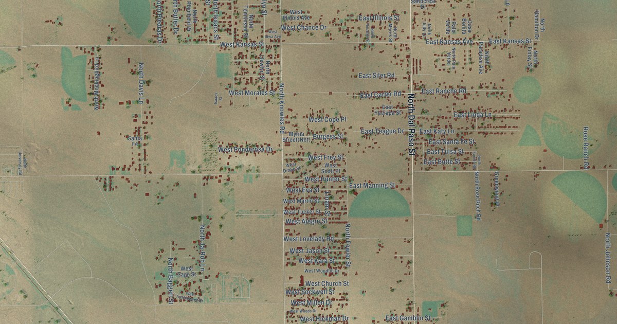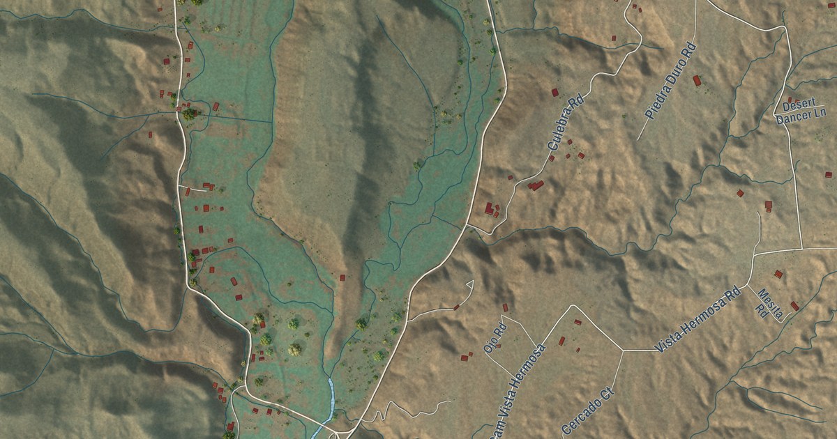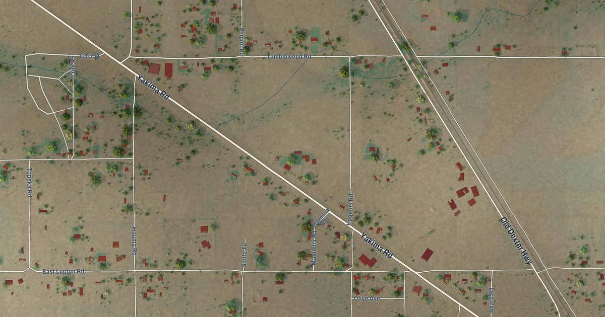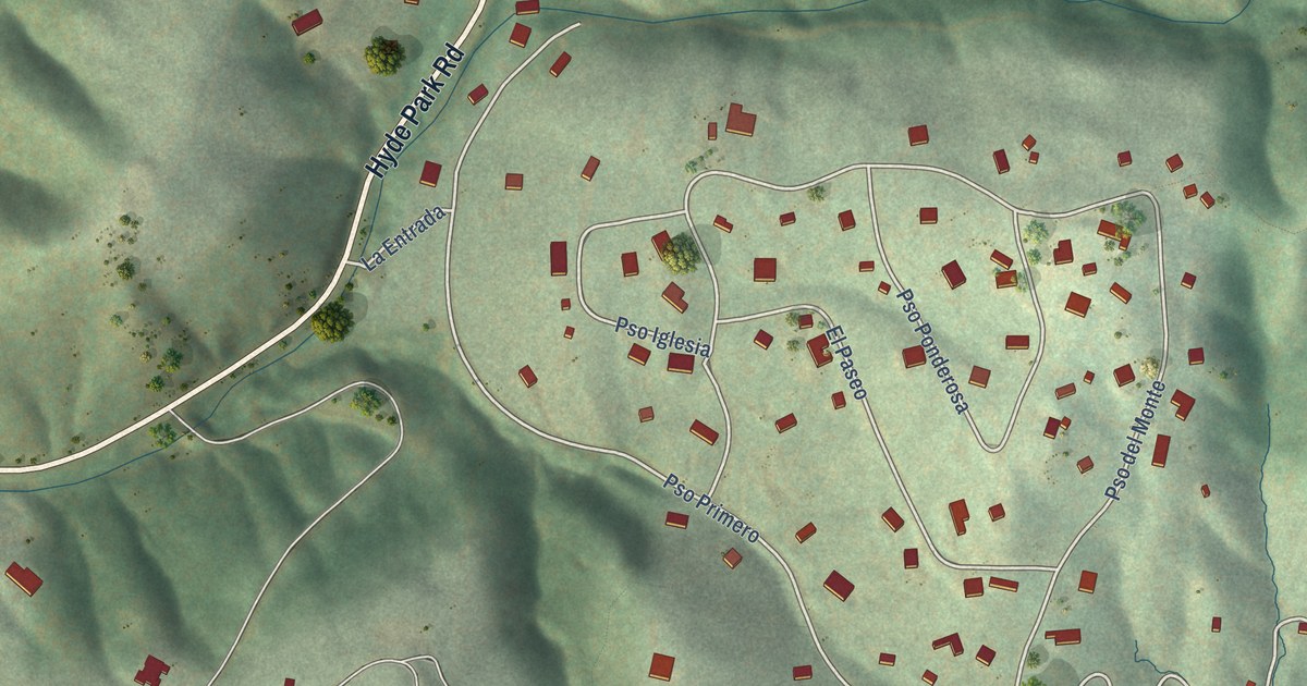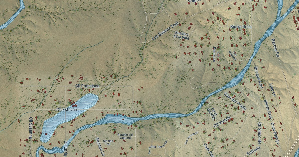
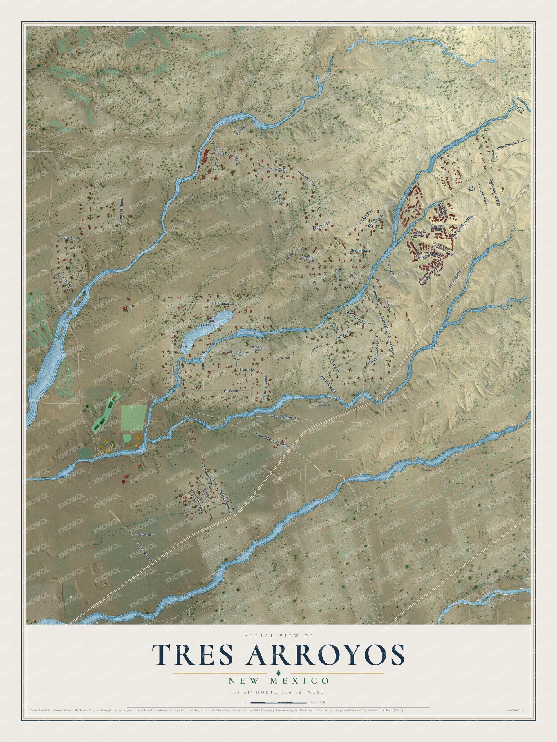
This beautifully detailed map of Tres Arroyos, New Mexico was created in 2026 using aerial imagery combined with modern topographical, census, street and landmark data. It's a modern aerial view of Tres Arroyos in Santa Fe County, New Mexico, that combines modern data with a vintage aesthetic. The roads feature printed names, and if you look closely you can find your exact house accurately shown in its correct location.
Explore an aerial view of Tres Arroyos, New Mexico
On this map you'll find Avenue Frijoles, Lavida Trail, Frontage Road, Cll Carla, Sloman Lane, Cll Suzanna, Pso de Los Ninos, Caja del Rio Road, Los Suenos Trail, Caja del Oro Grant Road, Cll Sinsonte, Cll Francisca, and more. Each red shape is a building, so zoom in on the preview and look for yours.
Tres Arroyos has a story worth telling. Aldea de Santa Fe, whose name means small village, was planned on 345 acres by 14 property owners on Santa Fe's northwest side and built beginning in 2002. Its designers, DPZ CoDesign, set its 479 homes around a planned village plaza, in the flat-roofed adobe and Territorial styles of historic Santa Fe. One in ten of its homes was built through an affordable homes program. That's from the Congress for the New Urbanism.
Tres Arroyos is a community in Santa Fe County. The Census Bureau counted 2,123 people here in 2020.
Take a closer look at the Tres Arroyos map
Names on this map
These names are printed on this map.
Streets and roads: Avenue Frijoles, Lavida Trail, Frontage Road, Cll Carla, Sloman Lane, Cll Suzanna, Pso de Los Ninos, Caja del Rio Road, Los Suenos Trail, Caja del Oro Grant Road, Cll Sinsonte, Cll Francisca.
More street names, A to Z
Avenue Aldea, Avenue Angeles, Barosa Road, Blue Canyon Trail, Blue Canyon Vis, Blue Canyon Way, Bosque Azul, Buckskin Circle, Cam Botanica, Cam del Centro, Cam del Prado, Cam de Rey, Cam Don Fidel, Cam Espejo, Cam la Tierra, Cam Los Suenos, Cam Peralta, Cam Serpiente, Cam Terra Bella, Centaurus Ranch Road, Chestnut Circle, Cll Benavidez, Cll de Montanas, Cll el Gancho, Cll Enrique, Cll Estevan, Cll Perezoso, Cll Varada, Cloud March East, Cloud March West, East Via Plaza Nueva, Entrada, La Serena Trail, Lino Lane, Los Tres Vecinos, North Horizon, No Trespassing Road, Paraiso del Vaquero, Penny Court, Penny Lane, Pso de Estrellas, Rabbitbrush, Ranch Estates Road, Ravenswood Lane, Santa Rita Ranch Road, Sendero de la Vida, Shrub Road, Sierra Azul, Sierra Rosa, Sloman Court, Sloman Trail, Sorrel Lane, Star Splash, Via Solis, Vis Azul, West Alameda Street, West Via Plaza Nueva.
See it on a wall
The Tres Arroyos map as a framed print. Swipe for more.


Created by KNOWOL in 2026. The buildings are small red shapes, the roads carry their printed names, and shaded relief shows the shape of the land. The title panel reads "AERIAL VIEW OF TRES ARROYOS, NEW MEXICO" with 35°41' NORTH 106°02' WEST.
It looks right in a kitchen, an office or a den, and it's a gift for anyone who grew up in Tres Arroyos or moved away. Open the preview and find your street. See sizes and frames for the Tres Arroyos map.