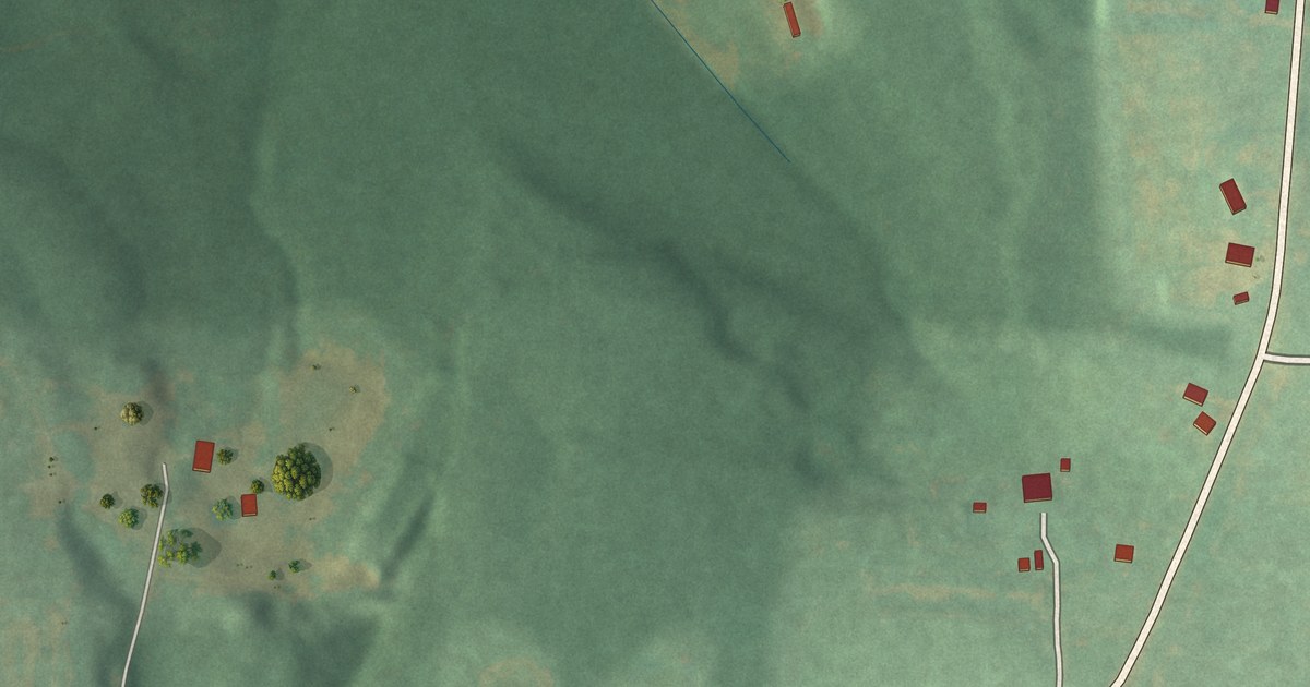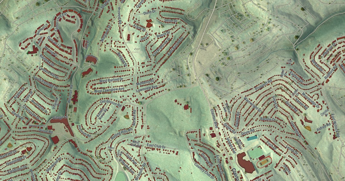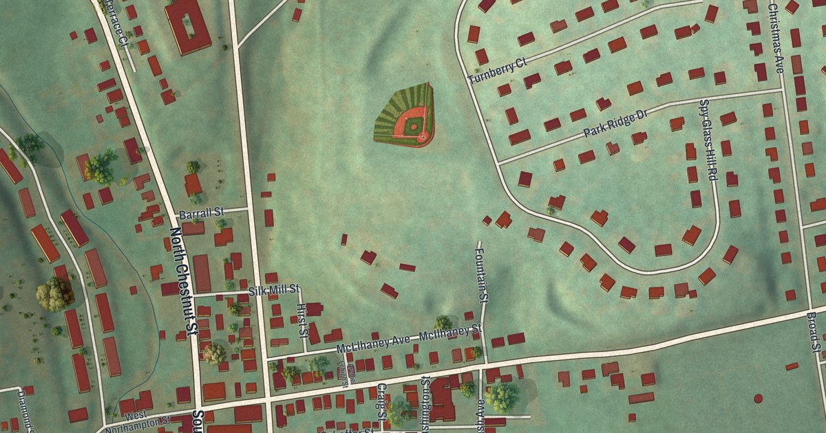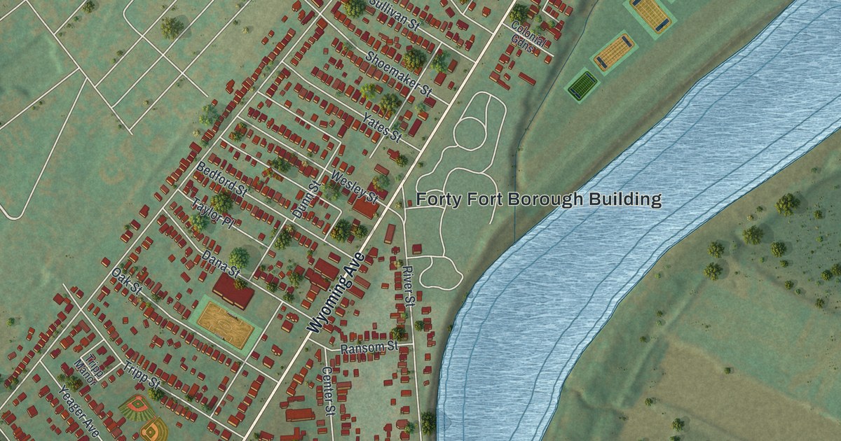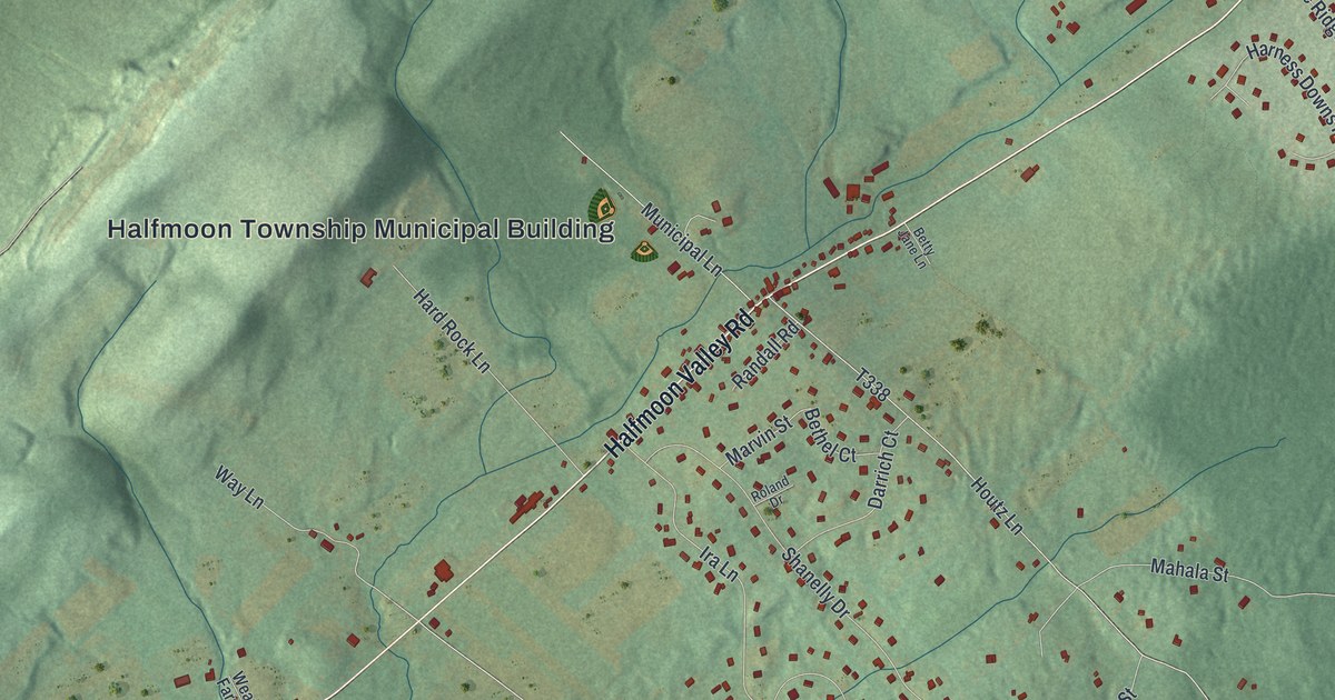
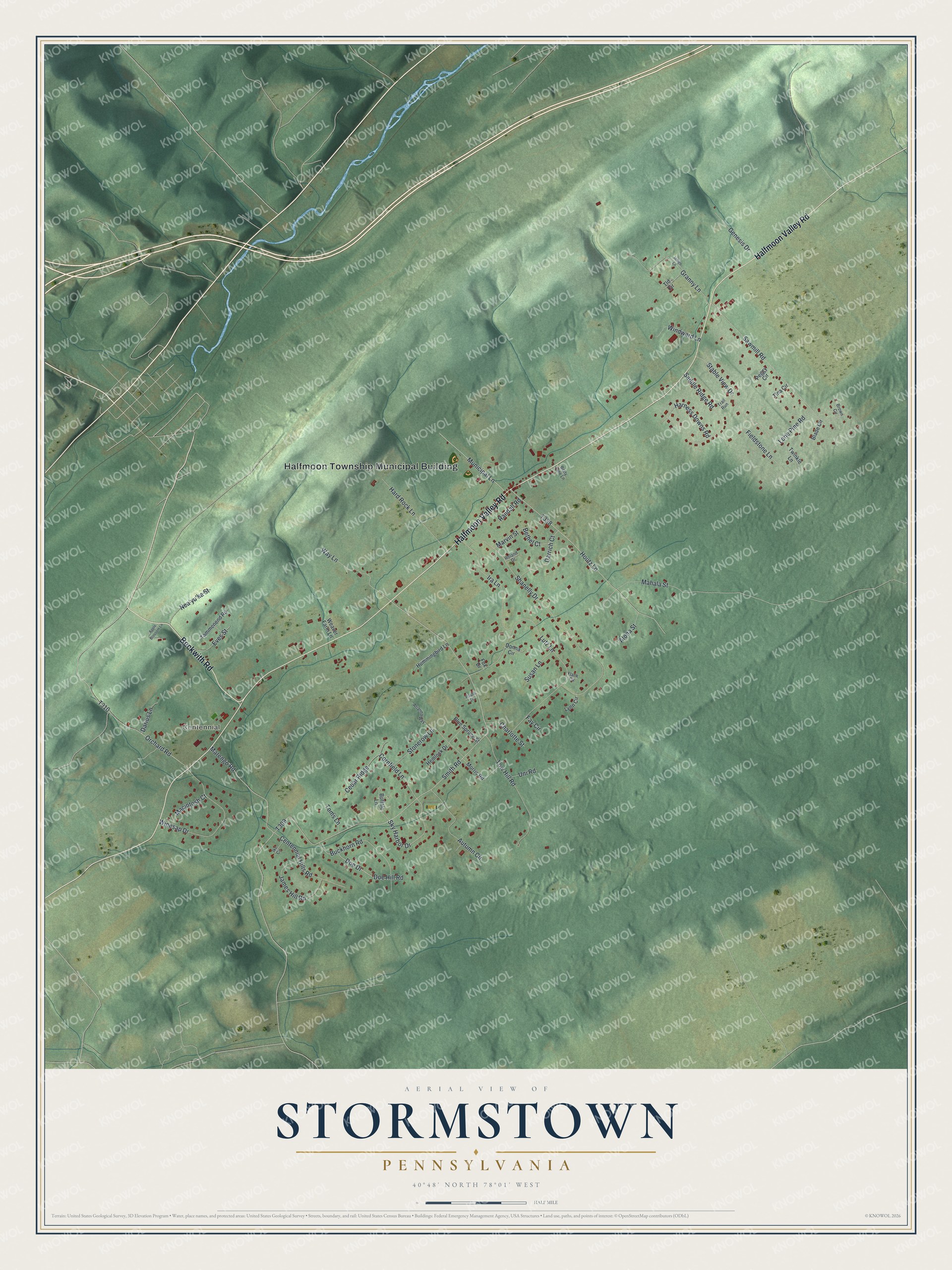
This beautifully detailed map of Stormstown, Pennsylvania was created in 2026 using aerial imagery combined with modern topographical, census, street and landmark data. It's a modern aerial view of Stormstown in Centre County, Pennsylvania, that combines modern data with a vintage aesthetic. The roads feature printed names, and if you look closely you can find your exact house accurately shown in its correct location.
Explore an aerial view of Stormstown, Pennsylvania
On this map you'll find Halfmoon Township Municipal Building, Centennial, Halfmoon Valley Road, Beckwith Road, Sky Harbor Drive, Smith Road, T309, T338, Shanelly Drive, Lutz Lane, Houtz Lane, Sawmill Road, and more. Each red shape is a building, so zoom in on the preview and look for yours.
Here is a piece of Stormstown history. Jacob Storm came about 1800, judged the spot a good one for a village, and had part of his land laid out in lots that he named Stormstown. Abraham Elder had already built a tavern, distillery, grist mill and saw mill close by, which gave the new village a healthy start. Elder's tavern was a stopping place for a large volume of travel to and from Pittsburgh. That's from the History of Centre and Clinton Counties.
Stormstown is a community in Centre County. The Census Bureau counted 2,468 people here in 2020.
Take a closer look at the Stormstown map
Names on this map
These names are printed on this map.
Places: Halfmoon Township Municipal Building and Centennial.
Streets and roads: Halfmoon Valley Road, Beckwith Road, Sky Harbor Drive, Smith Road, Shanelly Drive, Lutz Lane, Houtz Lane, Sawmill Road, Marengo Road, Orchard Road, Winesap Drive, Tow Hill Road.
More street names, A to Z
Aloha Street, Apple Blossom Lane, Arianna Way, Autumn Circle, Bethel Court, Betty Jane Lane, Blade Circle, Blue Spruce Street, Brown Circle, Buckhorn Road, Buffalo Lane, Cedar Ridge, Centennial Hills Road, Charlotte Street, Cornfield Lane, Darius Lane, Darrich Court, Doe Drive, Doe Hill Road, Donna Circle, Eves Street, Fay Circle, Fieldstone Lane, Flank Circle, Fox Drive, Genesis Drive, Granny Lane, Hard Rock Lane, Harness Downs Road, Hemlock Drive, Hummingbird Lane, Ike Circle, Indigo Lane, Ira Lane, James Hill Road, Lone Pine Road, Lynn Circle, Macintosh Court, Mahala Street, Marvin Street, Morris Road, Municipal Lane, Nea'yu'ka Street, Pauls Lane, Peggy Circle, Randall Road, Roland Drive, Saddle Ridge Road, Stable View Drive, Stonerow Lane, Susan Lane, Tammenend Road, Tina Circle, Tld Circle, Toms Lane, Trail Run, Twinkle Lane, Uni Road, Way Lane, Weaver Farm Lane, Windward Lane.
See it on a wall
The Stormstown map as a framed print. Swipe for more.


Created by KNOWOL in 2026. The buildings are small red shapes, the roads carry their printed names, and shaded relief shows the shape of the land. The title panel reads "AERIAL VIEW OF STORMSTOWN, PENNSYLVANIA" with 40°48' NORTH 78°01' WEST.
It suits a den, a classroom or a front hall, and it makes a gift for anyone with Stormstown roots. Open the preview and find the block you know. See sizes and frames for the Stormstown map.