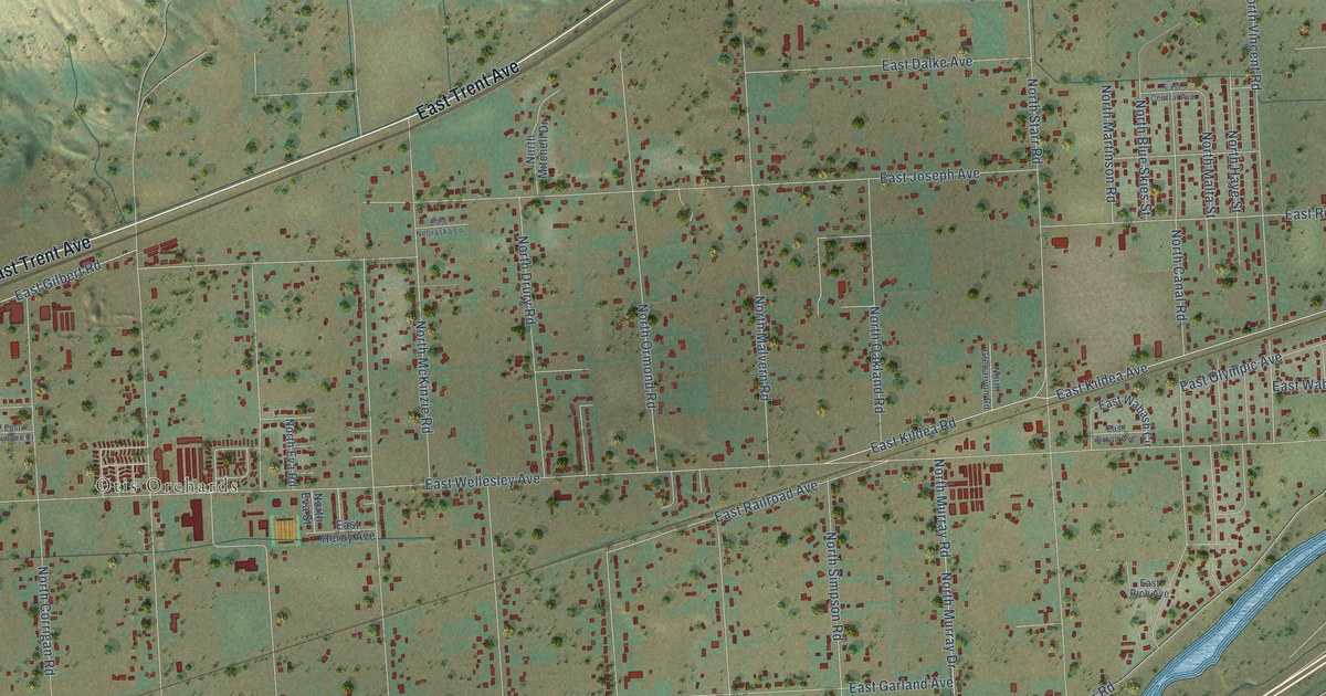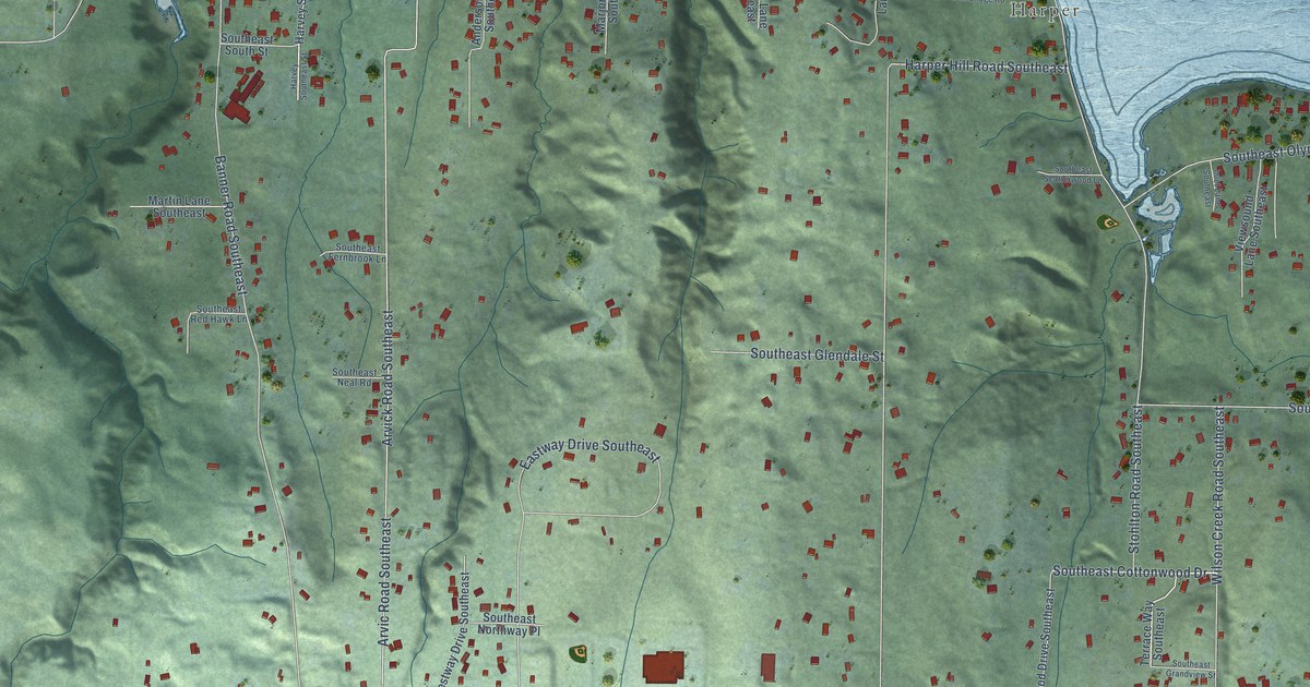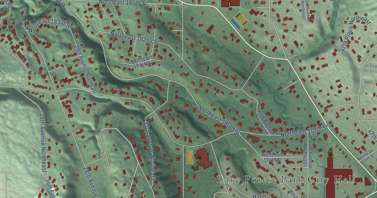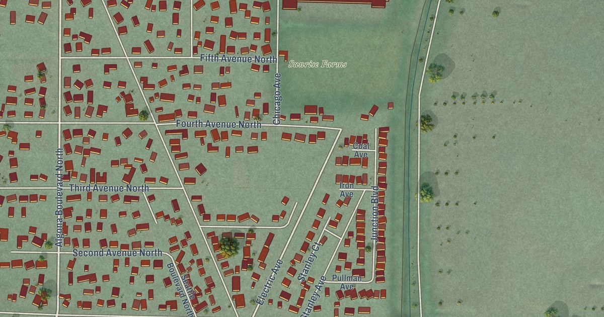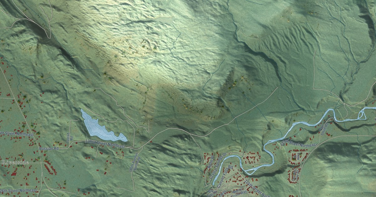
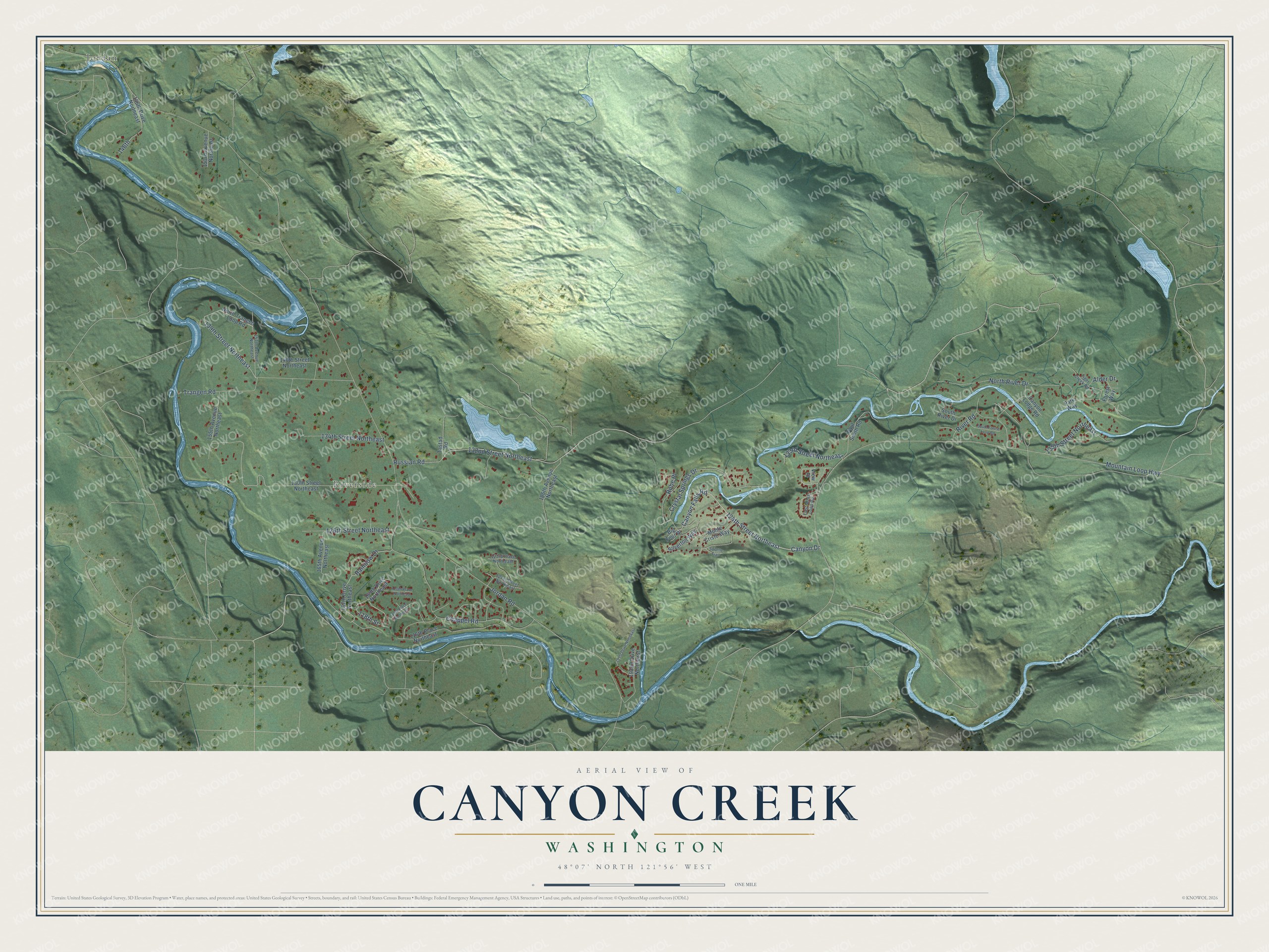
This beautifully detailed map of Canyon Creek, Washington was created in 2026 using aerial imagery combined with modern topographical, census, street and landmark data. It's a modern aerial view of Canyon Creek in Snohomish County, Washington, that combines modern data with a vintage aesthetic. The roads feature printed names, and if you look closely you can find your exact house accurately shown in its correct location.
Explore an aerial view of Canyon Creek, Washington
On this map you'll find Riverside, Jordan, 124th Street Northeast, Canyon Falls Road, Jordan Road, Mountain Loop Highway, 132nd Street Northeast, Russian Road, Chappel Road, North River Drive, Canyon Drive, Trangen Road, and more. Each red shape is a building, so zoom in on the preview and look for yours.
Canyon Creek has a story worth telling. Canyon Creek Lodge was billed as one of the most popular and scenic resorts on Puget Sound. In 1928 the Meadow Mountain Bulb Farm had its entire stock, acres of daffodils, iris and lilies, growing at the lodge, and visitors were welcome at both the lodge and the nursery, with the daffodils at their best around Easter Sunday. That's from the Meadow Mountain Bulb Farm catalog.
Canyon Creek is a community in Snohomish County. The Census Bureau counted 3,445 people here in 2020.
Take a closer look at the Canyon Creek map
Names on this map
These names are printed on this map.
Places: Riverside and Jordan.
Streets and roads: 124th Street Northeast, Canyon Falls Road, Jordan Road, Mountain Loop Highway, 132nd Street Northeast, Russian Road, Chappel Road, North River Drive, Canyon Drive, Trangen Road, 134th Street Northeast, 126th Street Northeast.
More street names, A to Z
116th Place Northeast, 118th Street, 119th Place Northeast, 120th Place Northeast, 121st Street Northeast, 123rd Place Northeast, 130th Street Northeast, 133rd Street Northeast, 135th Street Northeast, 139th Street Northeast, 140th Street Northeast, 146th, 146th Drive Northeast, 153rd Avenue Northeast, 155th Avenue Northeast, 157th Avenue Northeast, 165th Avenue Northeast, 167th Drive Northeast, 169th Drive Northeast, 186th Avenue Northeast, 191st Drive Northeast, 192nd Drive Northeast, Alder Drive, Big Four Place, Canyon Lodge Road, Crystal Springs Drive, East Macs Loop Road, Forest Way, Monte Cristo Way, North Trangen Loop Road, Park Way, Paul Smith Road, Rainbow Drive, River Road, Robe Place, Silverton Way, South Forest Loop Road, South River Drive, Suiattle Trail, Tastad Road, Tiger Creek Road, View Place.
See it on a wall
The Canyon Creek map as a framed print. Swipe for more.


Created by KNOWOL in 2026. The buildings are small red shapes, the roads carry their printed names, and shaded relief shows the shape of the land. The title panel reads "AERIAL VIEW OF CANYON CREEK, WASHINGTON" with 48°07' NORTH 121°56' WEST.
It looks right in a kitchen, an office or a den, and it's a gift for anyone who grew up in Canyon Creek or moved away. Open the preview and find your street. See sizes and frames for the Canyon Creek map.