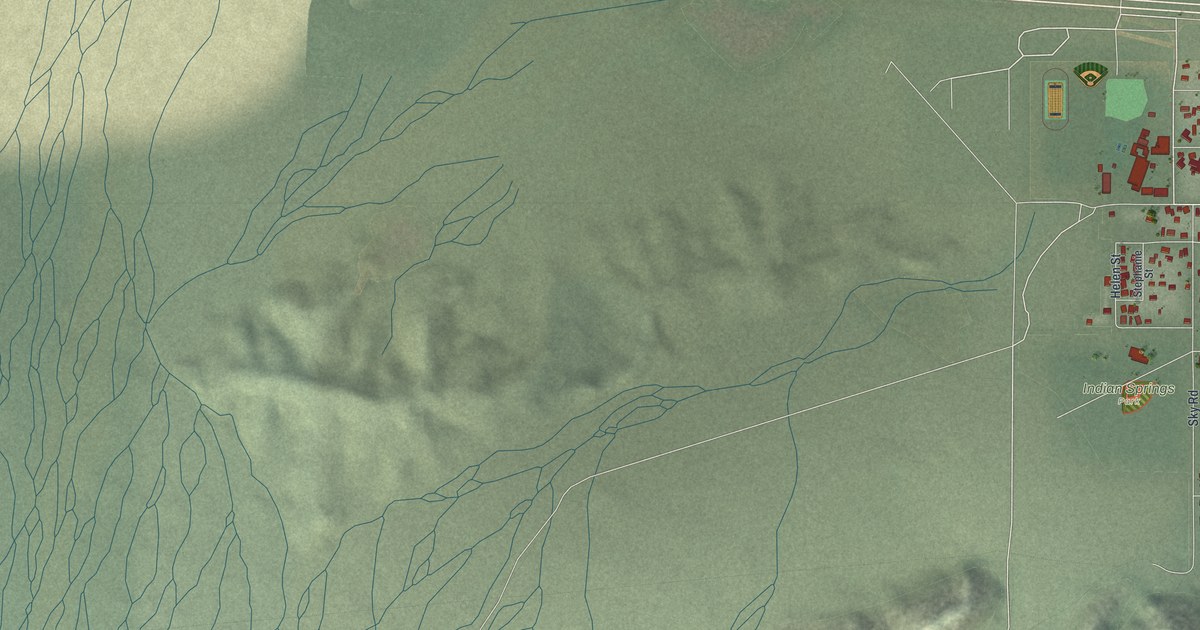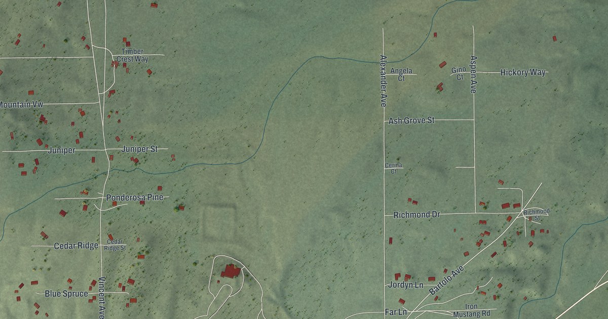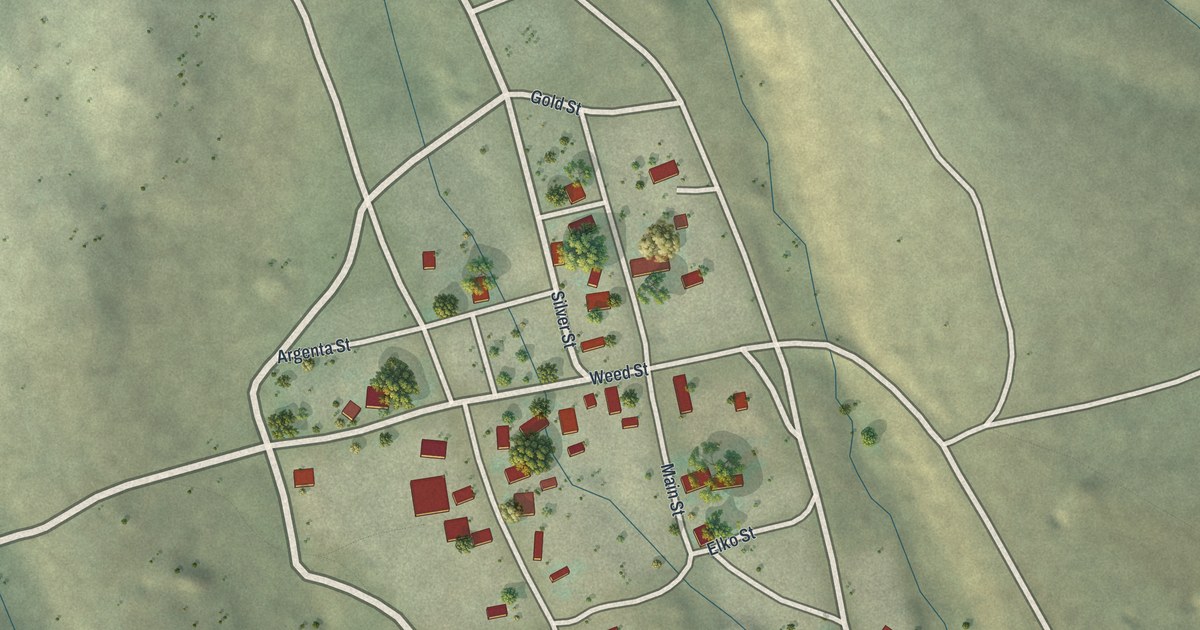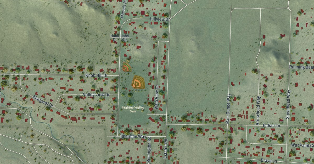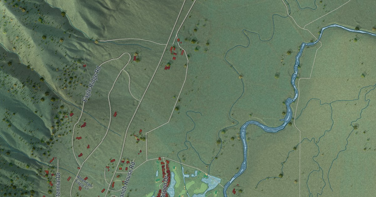
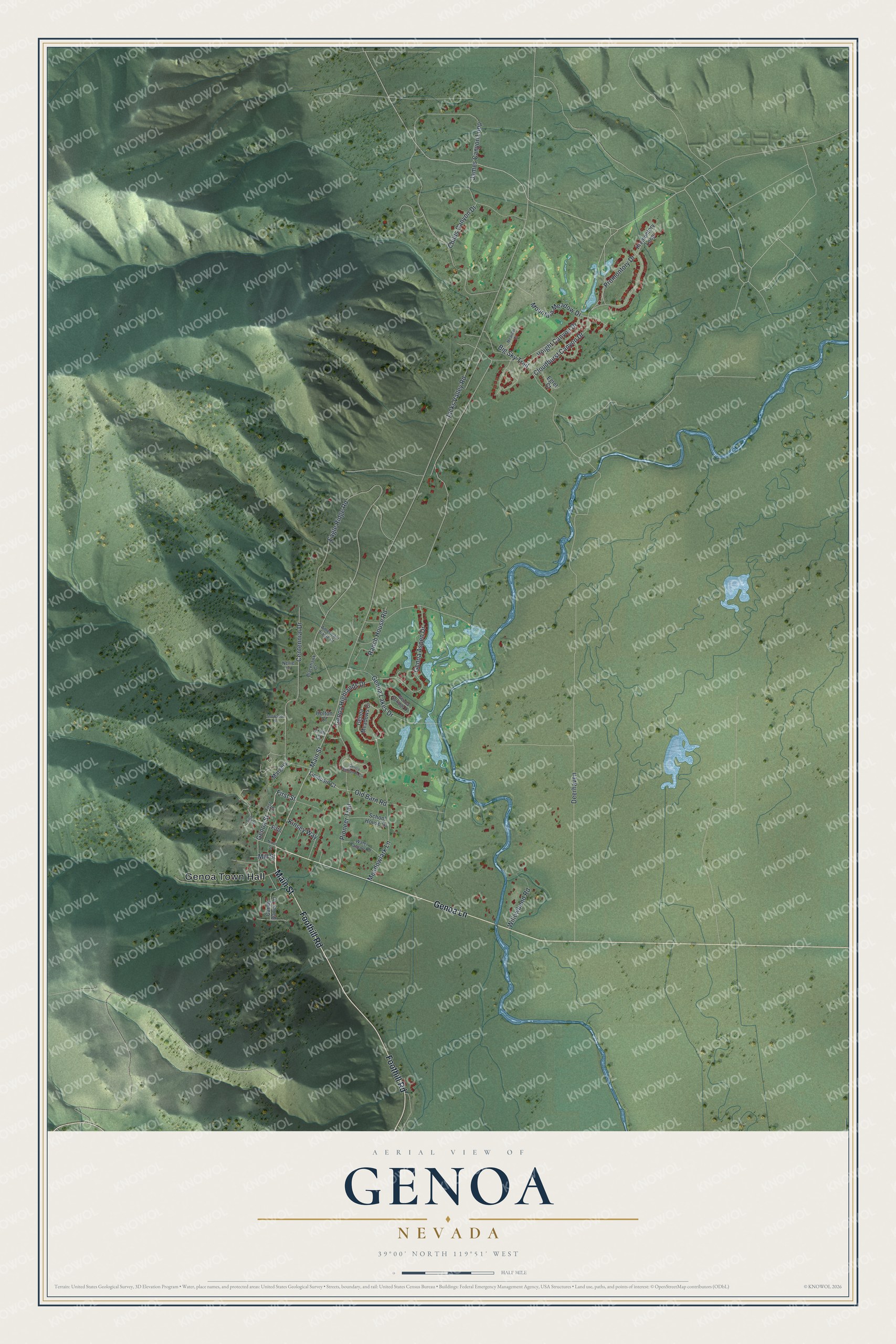
This beautifully detailed map of Genoa, Nevada was created in 2026 using aerial imagery combined with modern topographical, census, street and landmark data. It's a modern aerial view of Genoa in Douglas County, Nevada, that combines modern data with a vintage aesthetic. The roads feature printed names, and if you look closely you can find your exact house accurately shown in its correct location.
Explore an aerial view of Genoa, Nevada
On this map you'll find Genoa Town Hall, Main Street, Genoa Lane, Foothill Road, Genoa Aspen Drive, Genoa Highlands Drive, Genoa Street, First Street, James Canyon Loop, Jacks Valley Road, Deerhaven, Eagle Ridge Road, and more. Each red shape is a building, so zoom in on the preview and look for yours.
Genoa has a story worth telling. Genoa was the first permanent settlement in what would become Nevada. John Reese and his party built a trading post there in June 1851, and since most of his men were Mormon, the place became known as Mormon Station. Orson Hyde, a Mormon elder, later renamed it Genoa after Christopher Columbus's birthplace in Italy. The Overland Emigrant Trail ran down what is now Genoa's Main Street. Unlike the Italian city, the town's name is said juh-NO-ah. That's from the Town of Genoa.
Genoa is a community in Douglas County. The Census Bureau counted 1,343 people here in 2020.
Take a closer look at the Genoa map
Names on this map
These names are printed on this map.
Places: Genoa Town Hall.
Streets and roads: Main Street, Genoa Lane, Foothill Road, Genoa Aspen Drive, Genoa Highlands Drive, Genoa Street, First Street, James Canyon Loop, Jacks Valley Road, Deerhaven, Eagle Ridge Road, Cloudburst Canyon Drive.
More street names, A to Z
American Eagle Court, Big Sky Trail, Blackhawk Court, Candy Dance Lane, Centennial Drive, Childs Canyon Drive, Egret Court, Fifth, Fifth Street, Genoa Highlands Circle, Genoa Lakes Drive, Genoa Meadows Ci, Genoa Springs Drive, Holton Court, Kinsey Way, Limousin Court, Margery, Meadowlark Lane, Meander Court, Mill Street, Mountain Meadow Drive, Nellie Lane, Nixon Street, Old Barn Road, Pioneer Trail, Promontory Drive, Promontory Loop, Ranch House Road, School House Drive, Snowshoe Lane, Trail Court, Voight Canyon Drive, Water Canyon Road, Willowbend Road.
See it on a wall
The Genoa map as a framed print. Swipe for more.


Created by KNOWOL in 2026. The buildings are small red shapes, the roads carry their printed names, and shaded relief shows the shape of the land. The title panel reads "AERIAL VIEW OF GENOA, NEVADA" with 39°00' NORTH 119°51' WEST.
It looks right in a kitchen, an office or a den, and it's a gift for anyone who grew up in Genoa or moved away. Open the preview and find your street. See sizes and frames for the Genoa map.