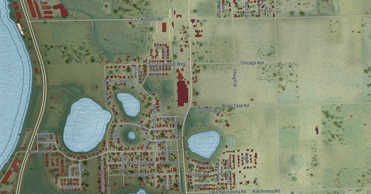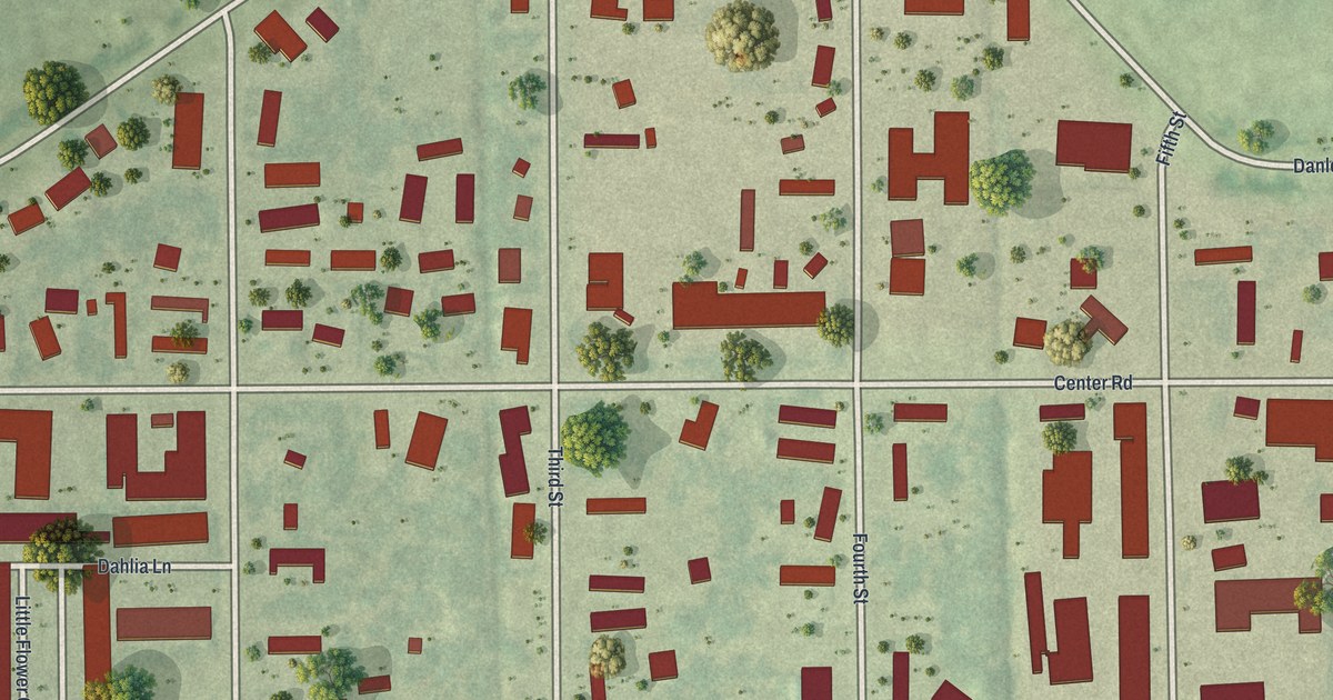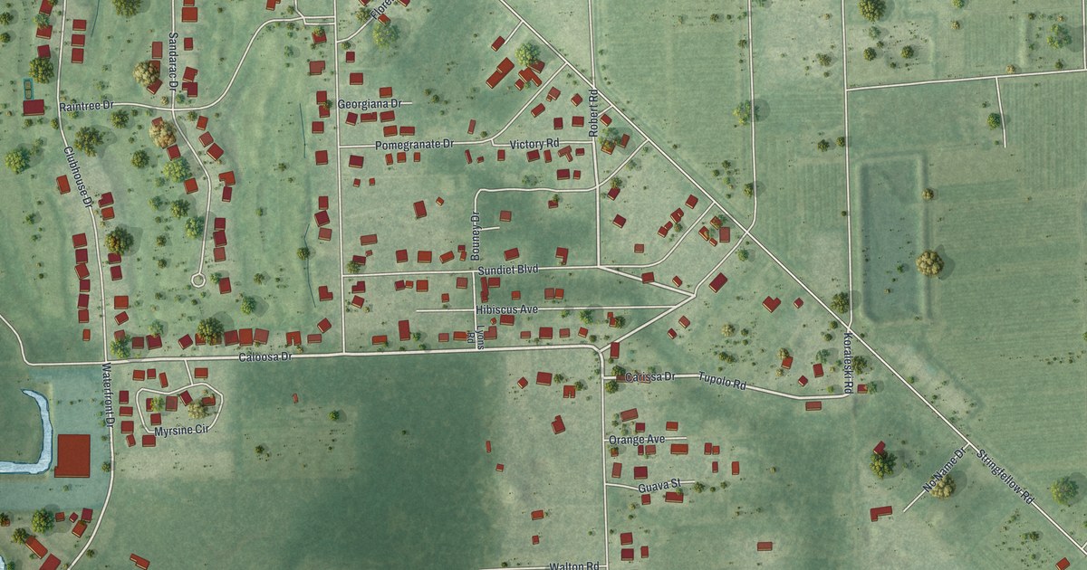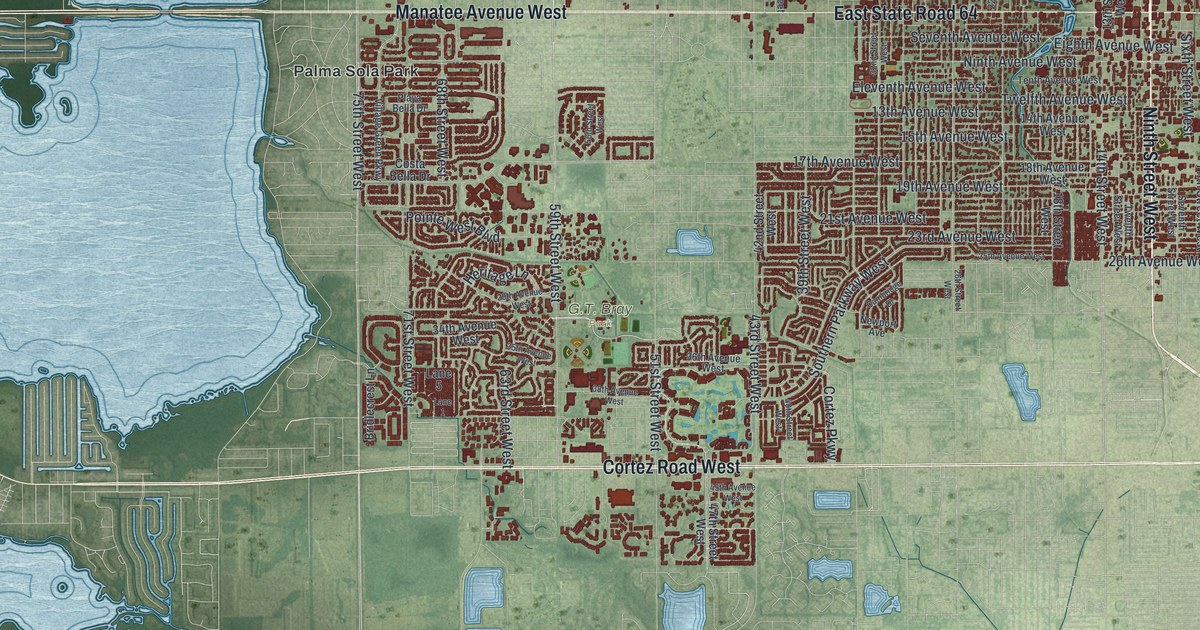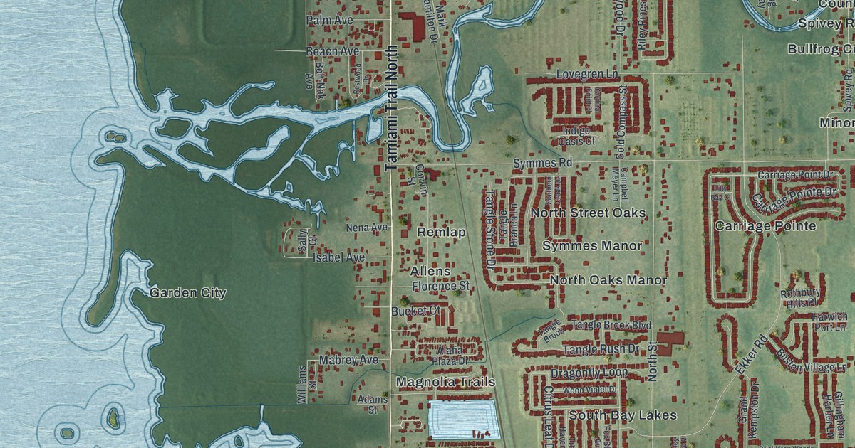
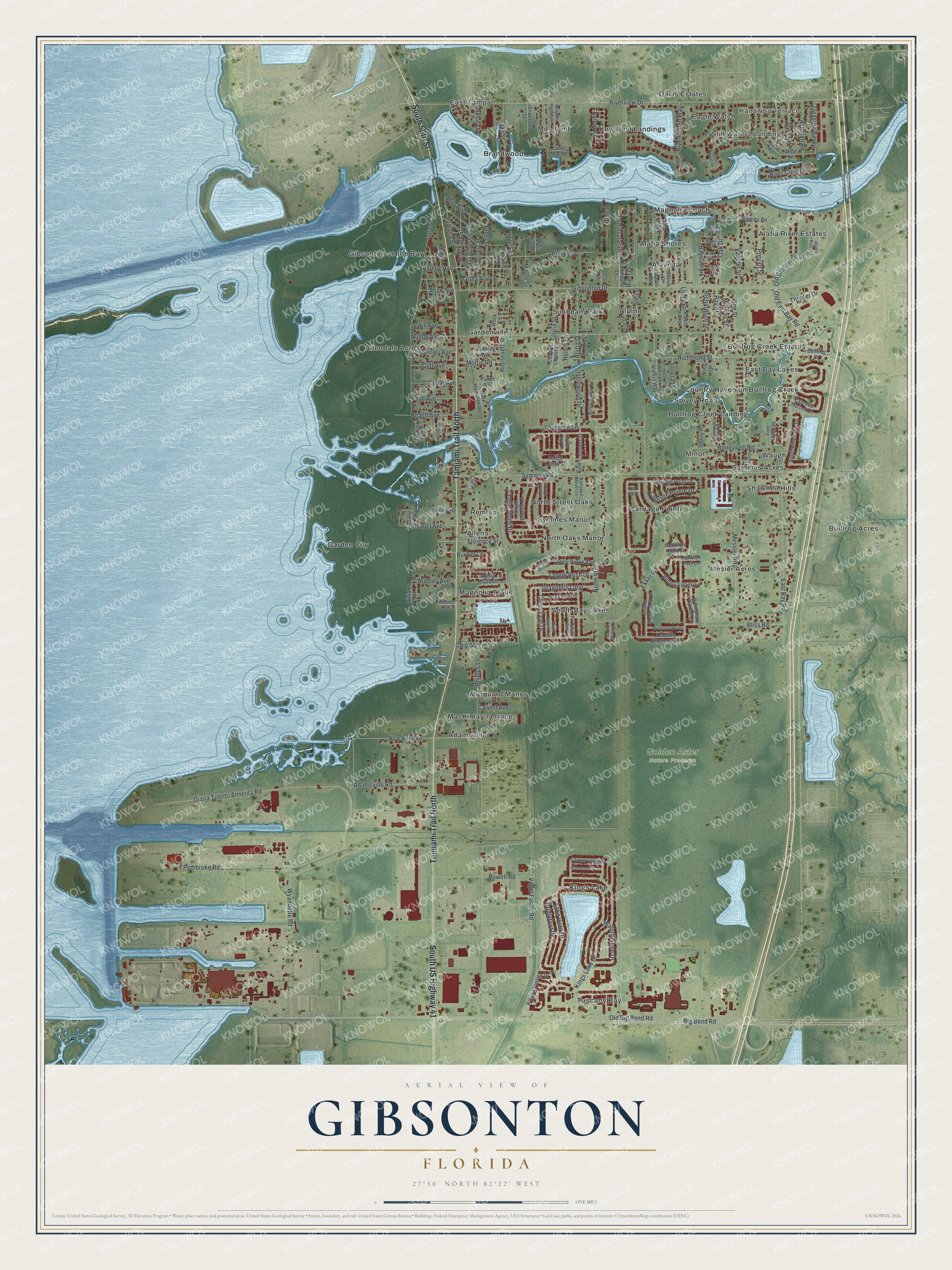
This beautifully detailed map of Gibsonton, Florida was created in 2026 using aerial imagery combined with modern topographical, census, street and landmark data. It's a modern aerial view of Gibsonton in Hillsborough County, Florida, that combines modern data with a vintage aesthetic. The roads feature printed names, and if you look closely you can find your exact house accurately shown in its correct location.
Explore an aerial view of Gibsonton, Florida
On this map you'll find Kanawha Terrace, Still Waters Landing, Golden Aster Nature Preserve, Gardenville, Tuscany Bay, Bullfrog Acres, Garden City, East Tampa, Bullfrog Creek Estates, North Oaks Manor, Adamsville, Alpine, and more. Each red shape is a building, so zoom in on the preview and look for yours.
Here is a piece of Gibsonton history, in the words of the record. The Osprey Observer puts it this way: "Eddie and Grace LeMay, carnival cookhouse operators, were the first carnival workers to come to Gibsonton in 1924. Heading south for the winter, they crossed the Alafia River, stopped to fish, had lunch and planned to rest before moving on." They decided to stay and opened Eddie's Hut, and when they urged fellow carnival workers to join them, Gibsonton became a welcoming winter home for traveling show people through much of the 1940s and 50s.
Gibsonton is a community in Hillsborough County. The Census Bureau counted 18,566 people here in 2020.
Take a closer look at the Gibsonton map
Names on this map
These names are printed on this map.
Places: Kanawha Terrace, Still Waters Landing, Golden Aster Nature Preserve, Gardenville, Tuscany Bay, Bullfrog Acres, Garden City, East Tampa, Bullfrog Creek Estates, North Oaks Manor, Adamsville, Alpine, Magnolia Beach, Kings Lake, Mesler Acres, Magnolia Trails, Bullfrog Creek Landing, Marquard Manor, Alafia River Estates, Remlap, South Bay Lakes, Key West Landings, Alafia Shores, Mill Point, Carriage Pointe, Gibsonton on the Bay, Minor, Waugh, Country Haven on Bullfrog Creek, Davis Estates, Sunbeam Park, East Bay Lakes, Brandwood, North Street Oaks, Shawnee Hills, Symmes Manor, Allendale Acres, Alavista, Eagle Watch, Symmes Acres, Allens, MacKinlay Terrace, Spivey Road and Bayou Park.
Streets and roads: South US Highway 41, Tamiami Trail North, South 50th Street, Big Bend Road, Carriage Pointe Drive, Gibsonton Drive, Alice Avenue, Kracker Avenue, Riverview Drive, Nundy Avenue, Symmes Road, East Bay Road.
More street names, A to Z
Adams Street, Adamsville Road, Alaeia River Lane, Alafia Plaza Drive, Alafia Street, Alafia Vista Drive, Alafia Way, Ala Vista Drive, Alavista Drive, Alice Lane, Alma Street, Amos Drive, Anna Avenue, Ashman Road, Barcin Circle, Barnsley Reserve Place, Bay Drive, Beach Avenue, Bilston Village Lane, Bliss Road, Boh-Nak Avenue, Brickleton Woods, Bridleford Drive, Bucket Court, Bullfrog Court, Calvert Avenue, Campbell Meyer Lane, Cardinal Point Place, Carriage Point Drive, Cedar Avenue, Citrus Leaf Drive, Cliff Avenue, Cobb Road, Connecticut Street, Corwin Street, Cozarts Chalet Drive, Crown Lake Drive, Cujoe Lane, Cypress Harbor Drive, Davis Street, Diana Toledo Almeida Road, Dragonfly Loop, Dyer Road, Eagle Watch Drive, Eighth Avenue, Ekker Road, Estelle Avenue, Ethel Street, Fifth Avenue, Fish Hook Place, Fleming Avenue, Florence Street, Flume Terrace, Fox Bloom Avenue, Frog Lane, Gillingham Harbor Lane, Gloria Street, Gold Compass Street, Grand Kempston Drive, Harwich Port Lane, Henderson Street, Herb's Lane, Honeywell Road, Indiana Street, Indigo Oasis Court, Inglewood Drive, Isabel Avenue, Khyber Lane, Kings Crossing Drive, Kings Lake Drive, Lake Vista Drive, Ledbury Commons Drive, Lewis Avenue, Lilly Bay Court, Linda Street, Lone Star Place, Lovegren Lane, Lula Street, Mabrey Avenue, Maggie Street, Magnolia Street, Maple Street, Marilla Avenue, Mark Hamilton Drive, Martin Road, Massachusetts Street, Messler Road, Midway Street, Millpoint Road East, Mottie Road, Nena Avenue, New York Street, North Street, Oak Drive, Oak Street, Ohio Avenue, Ohio Street, Old Big Bend Road, Old East Bay Road, Old Gibsonton Drive, Palm Avenue, Payne Avenue, Pembroke Road, Peninsular Drive, Penninsular Drive, Phillips Lane, Pine Street, Powell Road, Prevatt Street, Ratell Avenue, Ray Street, Restwood Drive, Richardson Street, Richmond Street, Riley Pines Circle, River Cove Drive, River Drive, Riverlachen Way, Rock Circle, Roosevelt Street, Rothbury Hills Place, Sally Court, Shirley Avenue, Sixth Avenue, Sonora Drive, Southern Creek Drive, Southwind Lake Drive, Tangle Branch Lane, Tangle Brook, Tangle Brook Boulevard, Tangle Rush Drive, Tangle Stone Drive, Theater Drive, Third Avenue, Treasure Bayou, Tree Haven Avenue, Vaughn Street, Vern Street, Virginia Street, Vogel Farms Road, Waterbourne Drive, Waterbrook Court, Waterside Park Drive, Whispering Waters Way, Wiggins Road, Williams Street, Wood Violet Drive, Wyandotte Road.
See it on a wall
The Gibsonton map as a framed print. Swipe for more.


Created by KNOWOL in 2026. The buildings are small red shapes, the roads carry their printed names, and shaded relief shows the shape of the land. The title panel reads "AERIAL VIEW OF GIBSONTON, FLORIDA" with 27°50' NORTH 82°22' WEST.
It suits a den, a classroom or a front hall, and it makes a gift for anyone with Gibsonton roots. Open the preview and find the block you know. See sizes and frames for the Gibsonton map.