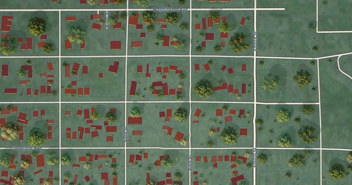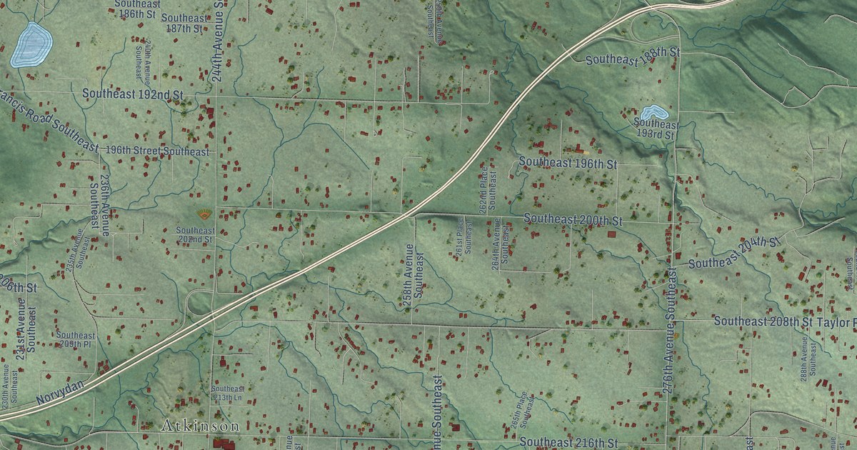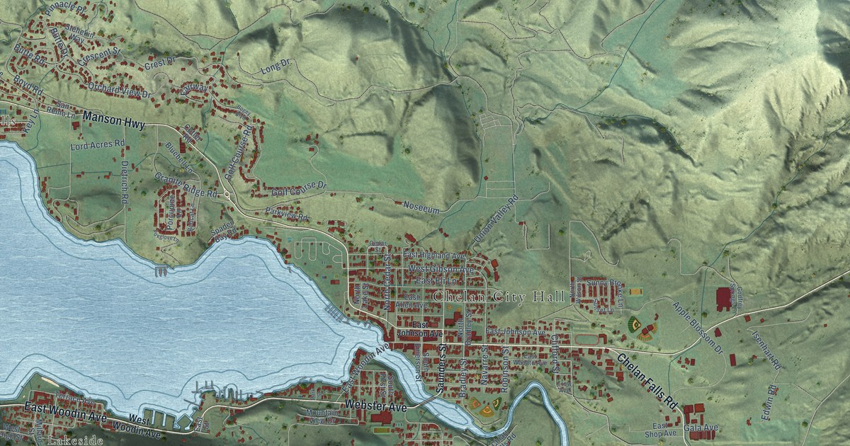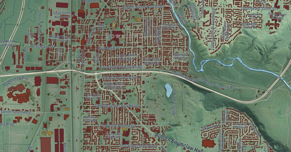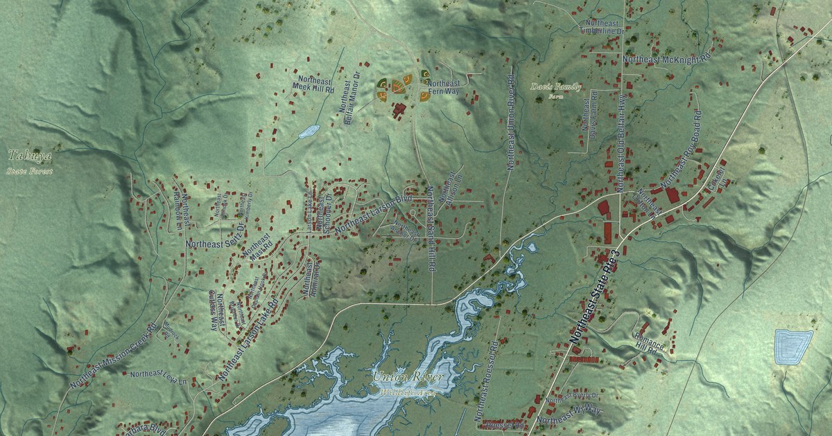
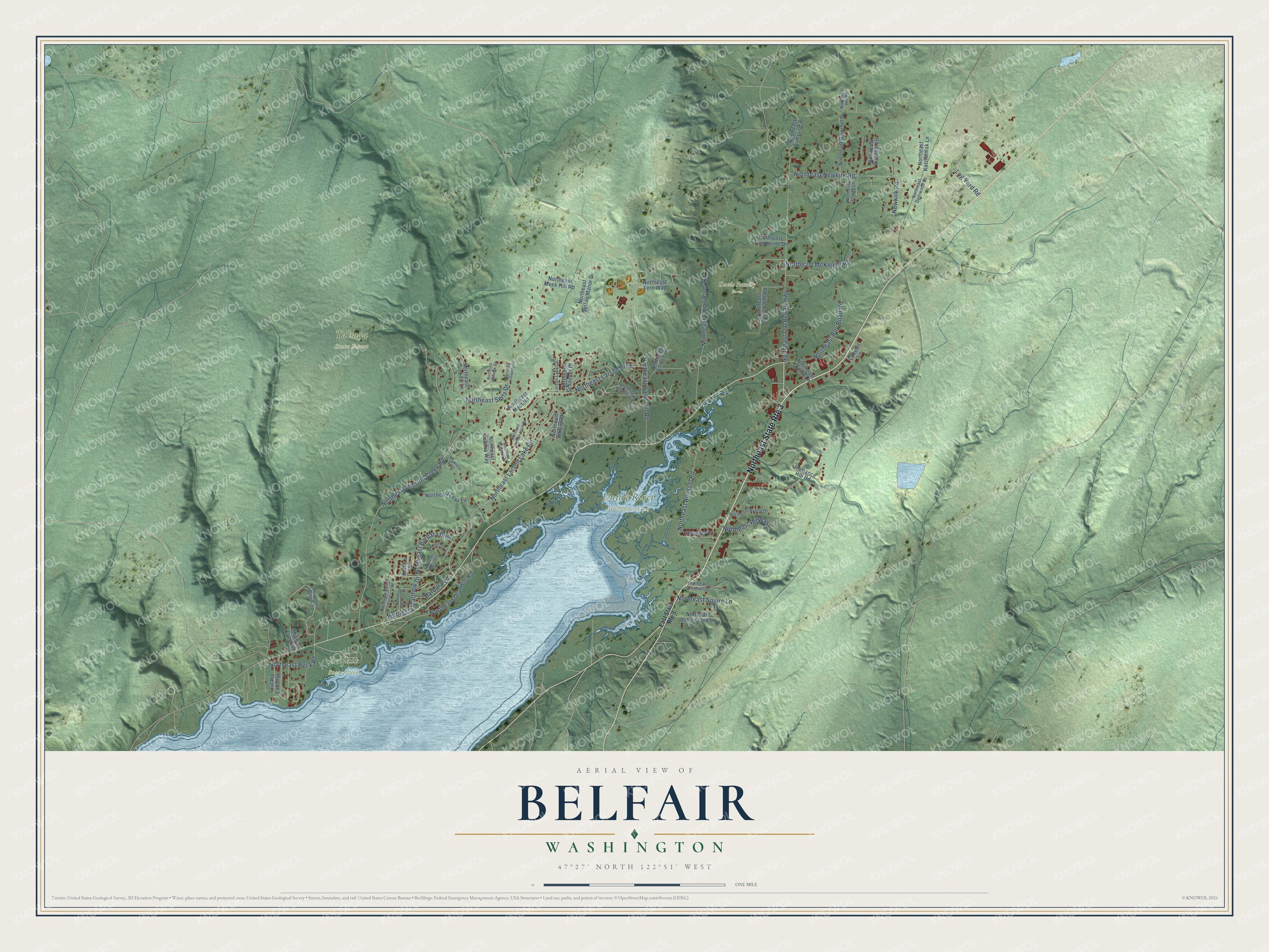
This beautifully detailed map of Belfair, Washington was created in 2026 using aerial imagery combined with modern topographical, census, street and landmark data. It's a modern aerial view of Belfair in Mason County, Washington, that combines modern data with a vintage aesthetic. The roads feature printed names, and if you look closely you can find your exact house accurately shown in its correct location.
Explore an aerial view of Belfair, Washington
On this map you'll find Belfair State Park, Davis Family Farm, Tahuya State Forest, Union River Wildlife Area, Northeast Larson Lake Road, Northeast Mission Creek Road, Northeast Old Belfair Highway, Northeast Larson Boulevard, Northeast Sand Hill Road, Northeast Matthew Drive, Northeast Gladwin Road, Northeast Union River Road, and more. Each red shape is a building, so zoom in on the preview and look for yours.
Here is a piece of Belfair history. Belfair was platted as Clifton in 1888. When the Navy Yard Highway between Shelton and Bremerton bypassed it in 1918, the town moved to the new highway, postal officials asked for a new name, and residents came up with Belfair. The Native name for the place was Du-hlay-lip, meaning head of the bay. That's from the Washington Trust for Historic Preservation.
Belfair is a community in Mason County. The Census Bureau counted 4,279 people here in 2020.
Take a closer look at the Belfair map
Names on this map
These names are printed on this map.
Places: Belfair State Park, Davis Family Farm, Tahuya State Forest and Union River Wildlife Area.
Streets and roads: Northeast State Route 3, Northeast Larson Lake Road, Northeast Mission Creek Road, Northeast Old Belfair Highway, Northeast Larson Boulevard, Northeast Sand Hill Road, Northeast Matthew Drive, Northeast Gladwin Road, Northeast Union River Road, Northeast Beck Road, Log Yard Road, Northeast Roessel Road.
More street names, A to Z
Barbara Lane, Cokelet Lane, East State Route 3, Kathy's Drive, Larson Lake Lane, Lorrain Court, Mission Creek Lane, Mudrock Road, Newkirk Road, Northeast Admiral Drive, Northeast Alder Creek Lane, Northeast Allison Lane, Northeast Anchor Drive, Northeast Barbara Boulevard, Northeast Belfair Manor Drive, Northeast Brigadun Drive, Northeast Burt Court, Northeast Byerly Drive, Northeast Captain Hook Drive, Northeast Chinook Drive, Northeast Clifton Lane, Northeast Crosswhite, Northeast Cutlass Way, Northeast Davis Farm Road, Northeast Deerwood Drive, Northeast Fern Way, Northeast Hill Road, Northeast Huffman Road, Northeast Katchemak Lane, Northeast Kimberly Drive, Northeast Leya Lane, Northeast Mast Road, Northeast Mathew Lennie's Loop, Northeast McKnight Road, Northeast Meek Hill Road, Northeast Newkirk Road, Northeast Rainbow Lane, Northeast Riverhill Drive, Northeast Riverhill Lane, Northeast Riverside Place, Northeast Roy Boad Road, Northeast Schooner Drive, Northeast Seitz Drive, Northeast Squire Lane, Northeast Timberline Drive, Northeast Towne Lane, Northeast Wanda Lane, Northeast Wj Way, Roessel Road, Romance Hill Road, Toulalip Landing.
See it on a wall
The Belfair map as a framed print. Swipe for more.


Created by KNOWOL in 2026. The buildings are small red shapes, the roads carry their printed names, and shaded relief shows the shape of the land. The title panel reads "AERIAL VIEW OF BELFAIR, WASHINGTON" with 47°27' NORTH 122°51' WEST.
It suits a den, a classroom or a front hall, and it makes a gift for anyone with Belfair roots. Open the preview and find the block you know. See sizes and frames for the Belfair map.