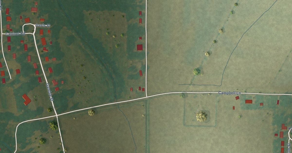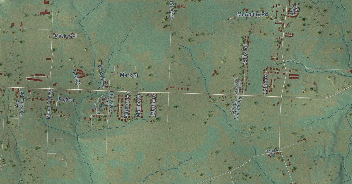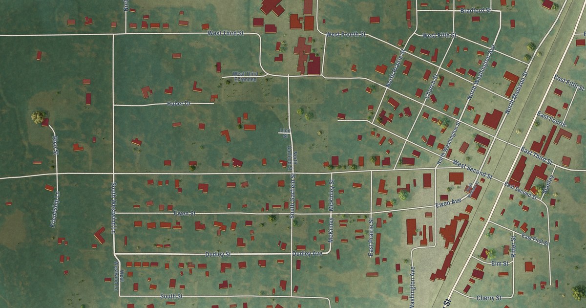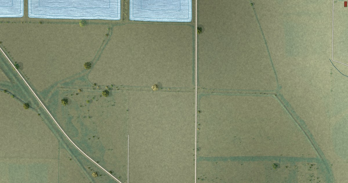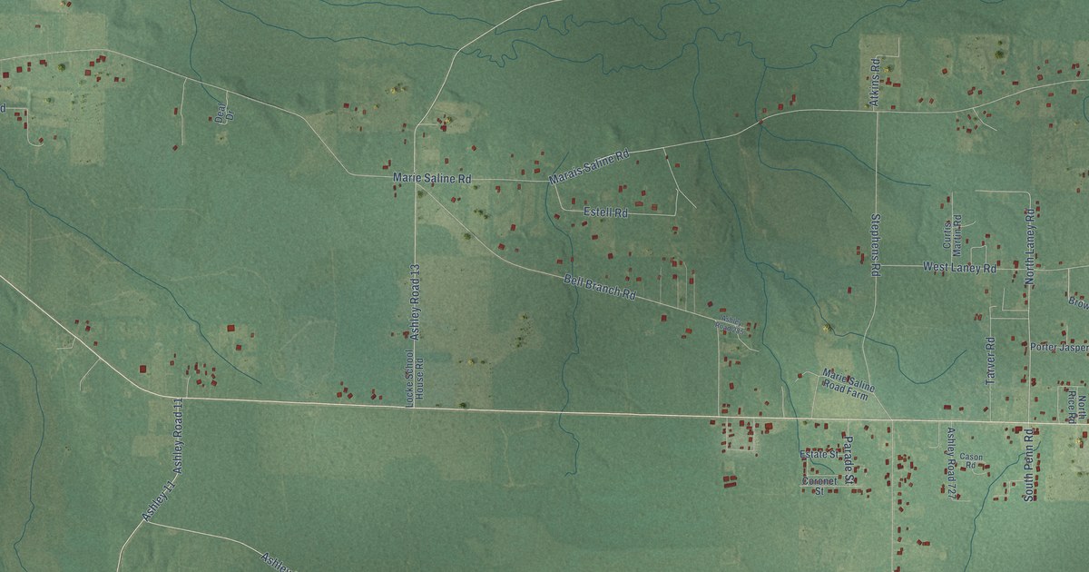
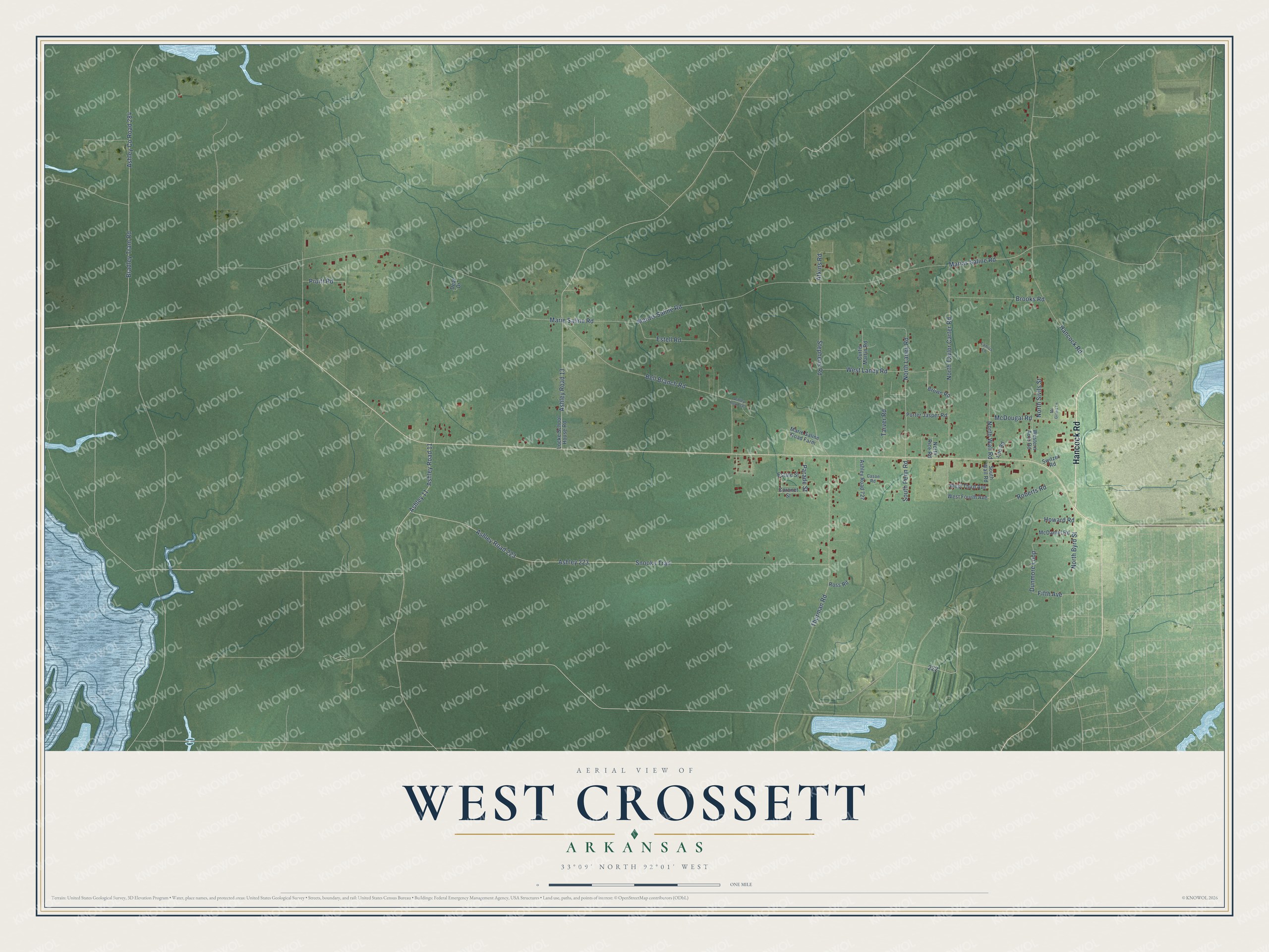
This beautifully detailed map of West Crossett, Arkansas was created in 2026 using aerial imagery combined with modern topographical, census, street and landmark data. It’s a one-of-a-kind view of West Crossett that combines accurate data with a vintage aesthetic. The map shows every building in its true location, many of the roads carry their names, and the shaded topographic relief shows the shape of the land.
Explore an aerial view of West Crossett, Arkansas
On the map you’ll find Ashley 11, Ashley 223, and Ashley Co Road 284, along with Hancock Road, Marias Saline Road, North Laney Road, North Byrd Street, Marie Saline Road, Snooks Trail, Bradley Tram Road, Thurman Road, Bell Branch Road, and more. If you look closely you can even find your house accurately drawn in its correct location. Zoom in on the preview to look for yours.
Did You Know?
West Crossett is one of three unincorporated neighborhoods, with North and South Crossett, that formed around the company town of Crossett. The Crossett Lumber Company owned all the land, mills and homes in early Crossett, and its planning struck some as restrictive, so new homes and shops went up just outside. Crossett became known for sustained yield forestry, which treats the forest as a crop. In 1912 its founders began a partnership with the Yale School of Forestry. That's from the Encyclopedia of Arkansas.
Take a closer look at the West Crossett map
Names on this map
These names are printed on this map.
Streets and roads: Hancock Road, Ashley 11, Marias Saline Road, North Laney Road, North Byrd Street, Marie Saline Road, Ashley 223, Snooks Trail, Ashley County Road 284, Bradley Tram Road, Thurman Road, Bell Branch Road.
More street names, A to Z
Ashley Road 11, Ashley Road 13, Ashley Road 223, Ashley Road 285, Ashley Road 727, Atkins Road, Brooks Road, Brown Road, Cason Road, Coronet Street, Curtis Martin Road, Deal Drive, Dunmore Loop, Estate Street, Estell Road, Fifth Avenue, Howard Road, Lanius Lane, Lee Road, Locke School House Road, Marais Saline Road, Marie Saline Road Farm, McDaniel Road, McDougal Road, Mc Ginnis Lane, North Rice Road, North Sivils Street, North Taylor Carter Road, North Wall Road, Parade Street, Porter Jasper Road, Pruitt Road, Roberts Road, Ross Road, South Penn Road, South Wall Road, Stephens Road, Switzer Road, Tarver Road, Western Auto Road, West Fourth Avenue, West Laney Road, West Third Avenue.
See it on a wall
The West Crossett map as a framed print. Swipe for more.


This beautifully detailed map of West Crossett makes an attractive addition to your office, library, or den, and it can even be used to teach children the geography and history of the area. It also makes a great gift for anyone with West Crossett roots. When you’re done exploring, click here to get your copy of the West Crossett map.