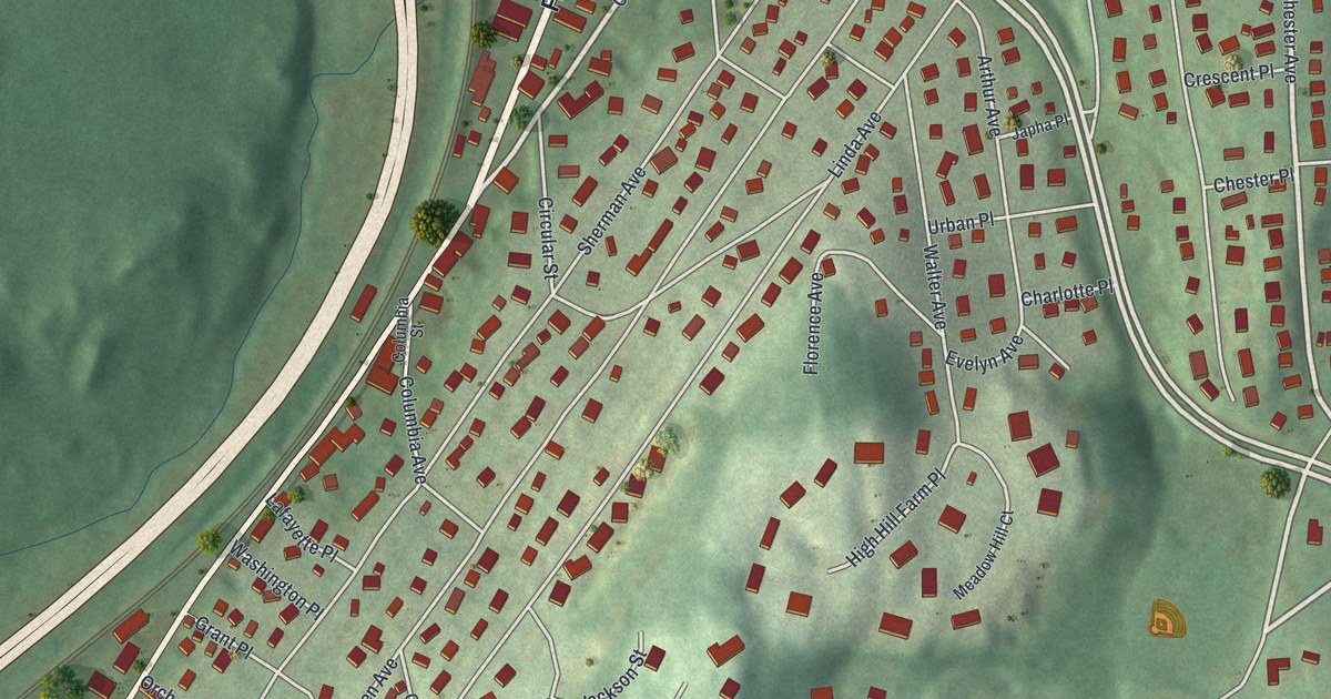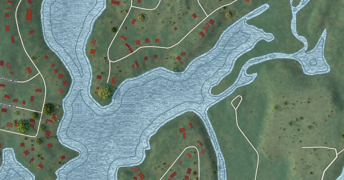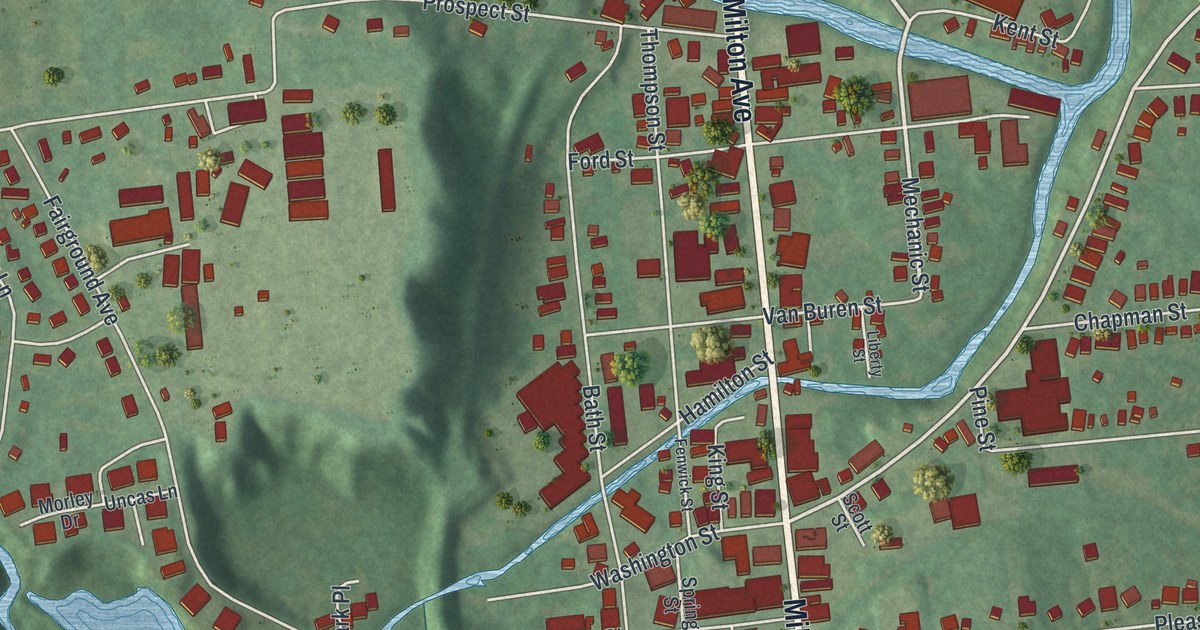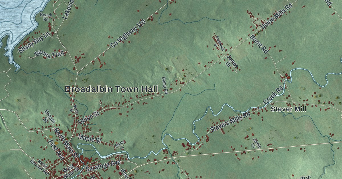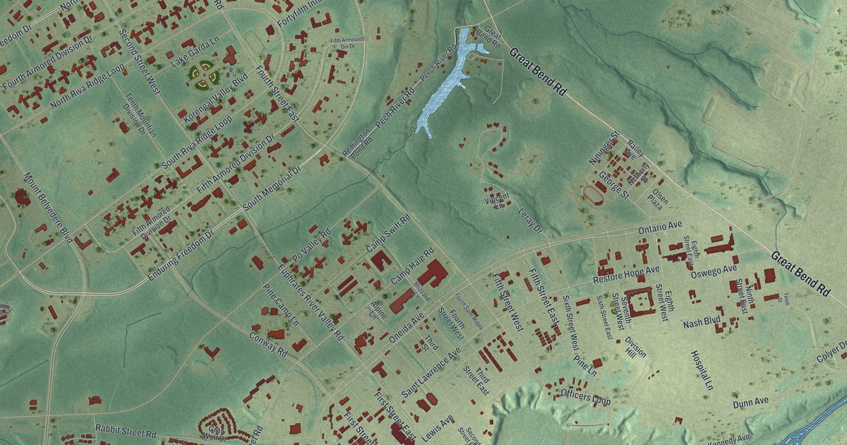
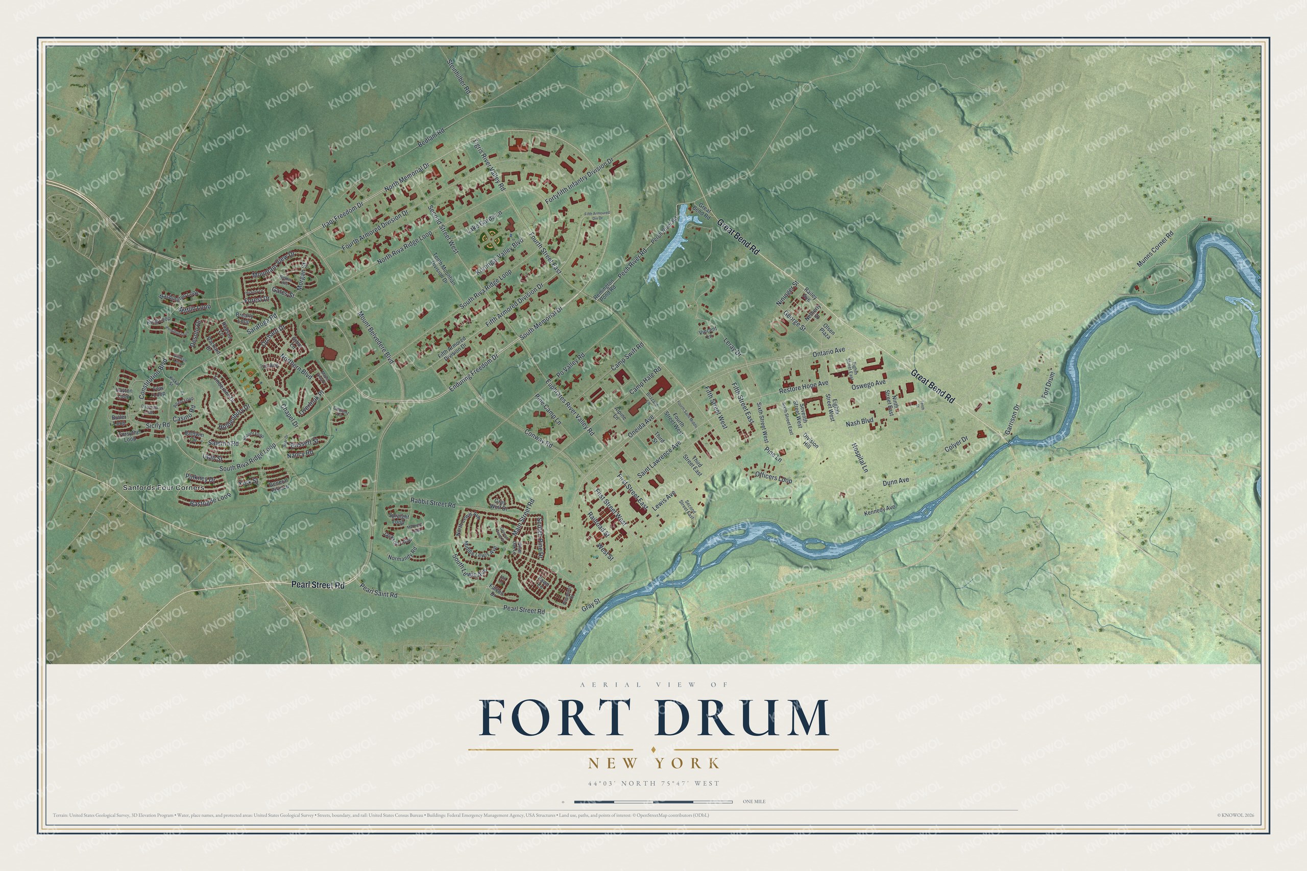
This beautifully detailed map of Fort Drum, New York was created in 2026 using aerial imagery combined with modern topographical, census, street and landmark data. It's a modern aerial view of Fort Drum in Jefferson County, New York, that combines modern data with a vintage aesthetic. The roads feature printed names, and if you look closely you can find your exact house accurately shown in its correct location.
Explore an aerial view of Fort Drum, New York
On this map you'll find Sanfords Four Corners, Pearl Street Road, Great Bend Road, Iraqi Freedom Drive, North Memorial Drive, Enduring Freedom Drive, South Memorial Drive, Ontario Avenue, Pech River Road, Northern Boulevard, Pearl Saint Road, Camp Hale Road, and more. Each red shape is a building, so zoom in on the preview and look for yours.
Fort Drum has a story worth telling. Fort Drum began as the Army camp on Pine Plains, north of the Black River, which formally opened on June 11, 1908. In 1951 Pine Camp became Camp Drum, named for Lt. Gen. Hugh A. Drum, who commanded the First Army during World War II, and in 1974 it was designated Fort Drum. Brig. Gen. Frederick Dent Grant, the oldest son of President Ulysses S. Grant, brought 2,000 Regular Army soldiers and 8,000 militiamen there in 1908 and found it an ideal place to train troops. That's from the U.S. Army.
Fort Drum is a community in Jefferson County. The Census Bureau counted 15,896 people here in 2020.
Take a closer look at the Fort Drum map
Names on this map
These names are printed on this map.
Places: Sanfords Four Corners.
Streets and roads: Pearl Street Road, Great Bend Road, Iraqi Freedom Drive, North Memorial Drive, Enduring Freedom Drive, South Memorial Drive, Ontario Avenue, Pech River Road, Northern Boulevard, Pearl Saint Road, Camp Hale Road, Fort Drum.
More street names, A to Z
Alpine Lane, Anzio Loop, Arbor Lane, Baldwin Circle, Bassett Street, Bastogne Loop, Bedlam Road, Bemis Heights, Blizzard Lane, Blount Loop, Brearly Loop, Butler Loop, Camp Swift Road, Casino Road, Chapel Drive, Coblenz Circle, Colyer Drive, Constitution Boulevard, Conway Road, Dayton Loop, Desoto Drive, Dickinson Loop, Division Hill, Dunn Avenue, Eighth Street East, Eighth Street West, Euphrates River Valley Road, Falcon Drive, Fawn Lane, Few Loop, Fifth Armored Division Drive, Fifth Armoured Div Drive, Fifth Street East, Fifth Street West, First Street East, First Street West, Forest Drive, Forsythe Loop, Fortyfifth Infantry Division Drive, Fourth Armored Division Drive, Fourth Saint Middle, Fourth Street East, Fourth Street West, Fox Lane, Garrison Drive, Gates Street, General Grant Street, General Pike Lp, George Street, Gilman Loop, Gray Street, Gray Wolf Drive, Hamilton Loop, Hickory Drive, Holdenbury Drive, Hospital Lane, Hudson Lane, Iris Avenue, Jackson Loop, Kennedy Avenue, King Loop, Kiska Street, Korengal Valley Boulevard, Lake Garda Lane, Leray Drive, Lewis Avenue, Main Street Road, Maple View Place, McHenry Loop, Middle Lewis Avenue, Mifflin Loop, Morgan Street, Mountain View Drive, Mount Belvedere Boulevard, Munns Corner Road, Nancy Road, Nash Boulevard, Netherly Street, Nininger Street, Ninth Street East, Normandy Road, North Lewis Avenue, North Riva Ridge Loop, Officers Loop, Olsen Plaza, Oneida Avenue, Orchard Drive, Oswego Avenue, Overlook Place, Packard Drive, Perch River Road, Pine Camp Lane, Pinehurst Drive, Pine Lane, Pinkney Drive, Po Valley Road, Rabbit Street Road, Railey Avenue, Railroad Street, Remington Pond Road, Restore Hope Avenue, Saar Drive, Saint Lawrence Avenue, Salerno Road, Saratoga Road, Scotch Pine Drive, Second Street East, Second Street West, Seventh Street West, Sicily Road, Sixth Street East, Sixth Street West, South Lewis Avenue, South Riva Ridge Loop, Spraight Loop, Steinhilber Road, Tenth Mountian Division Drive, Tenth Street, Third Street, Third Street East, Tigris River Valley Road, Timberline Drive, Utah Street, Vincent Lane, Washington Loop, West Street, White Oak Lane, York Street.
See it on a wall
The Fort Drum map as a framed print. Swipe for more.


Created by KNOWOL in 2026. The buildings are small red shapes, the roads carry their printed names, and shaded relief shows the shape of the land. The title panel reads "AERIAL VIEW OF FORT DRUM, NEW YORK" with 44°03' NORTH 75°47' WEST.
It looks right in a kitchen, an office or a den, and it's a gift for anyone who grew up in Fort Drum or moved away. Open the preview and find your street. See sizes and frames for the Fort Drum map.