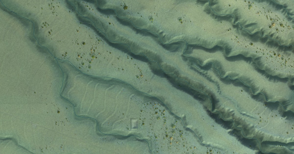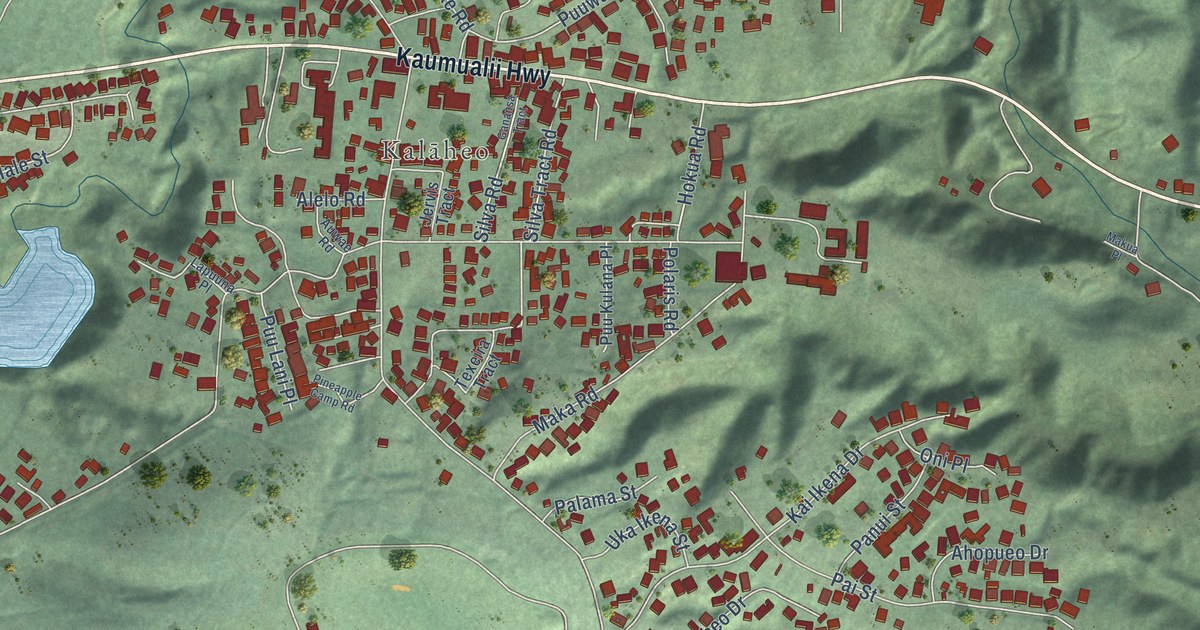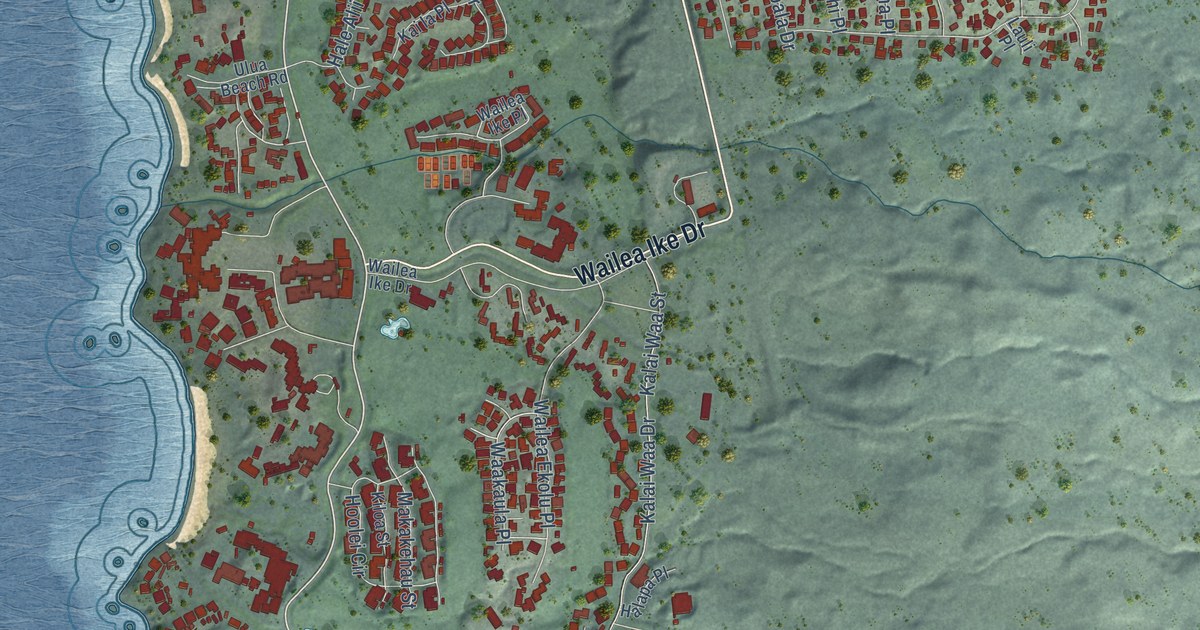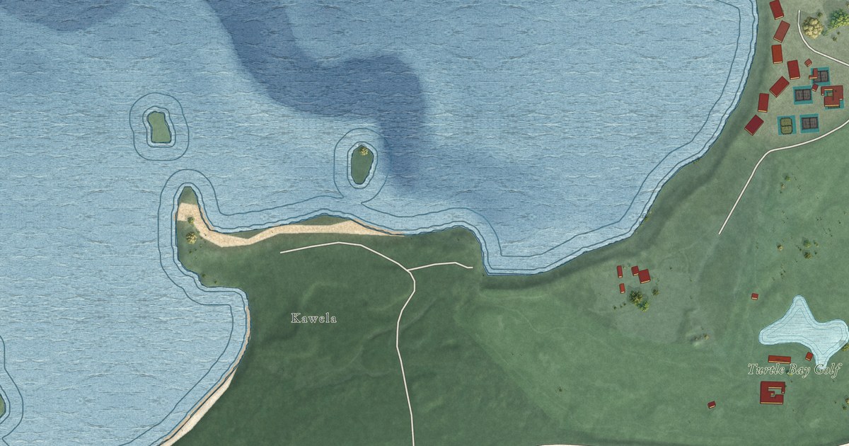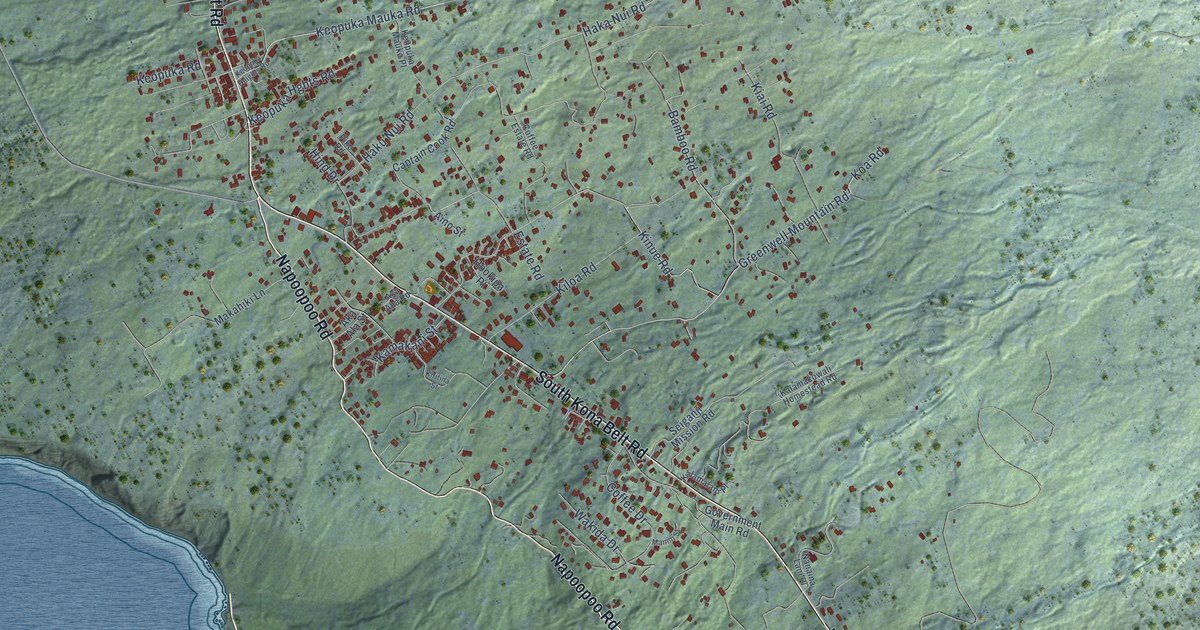
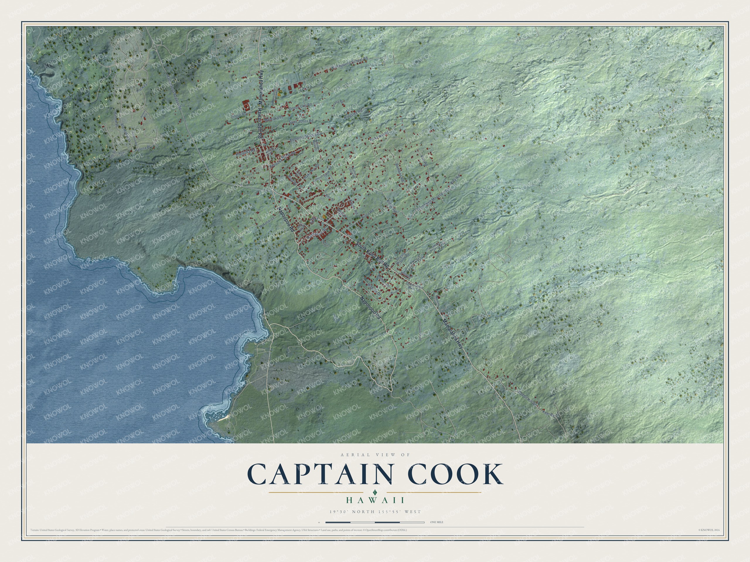
This beautifully detailed map of Captain Cook, Hawaii was created in 2026 using aerial imagery combined with modern topographical, census, street and landmark data. It's a modern aerial view of Captain Cook in Hawaii County, Hawaii, that combines modern data with a vintage aesthetic. The roads feature printed names, and if you look closely you can find your exact house accurately shown in its correct location.
Explore an aerial view of Captain Cook, Hawaii
On this map you'll find Napoopoo Road, South Kona Belt Road, Mamalahoa Highway, Hawaii Belt Road, Greenwell Mountain Road, Kinue Road, Koa Road, Haka Nui Road, Keopuka Mauka Road, Mamalahoa Bypass Road, Konawaena School Road, Haku Nui Road, and more. Each red shape is a building, so zoom in on the preview and look for yours.
Captain Cook has a story worth telling. The town of Captain Cook takes its name from its post office, which sat in the Captain Cook Coffee Company in the early 1900s. Before that, the area was home to Kaʻawaloa, a thriving Hawaiian village and royal residence where many Kona chiefs, Kamehameha the Great among them, chose to live. That's from the Hawaii State Legislature.
Captain Cook is a community in Hawaii County. The Census Bureau counted 3,253 people here in 2020.
Take a closer look at the Captain Cook map
Names on this map
These names are printed on this map.
Streets and roads: Napoopoo Road, South Kona Belt Road, Mamalahoa Highway, Hawaii Belt Road, Greenwell Mountain Road, Kinue Road, Koa Road, Haka Nui Road, Keopuka Mauka Road, Mamalahoa Bypass Road, Konawaena School Road, Haku Nui Road.
More street names, A to Z
Aino Street, Aka Aha Road, Aka Ala Street, Ala Hokuloa, Bamboo Road, Captain Cook Road, Coffee Drive, Coffee Estate Road, Estate Road, Government Main Road, Haokea, Hind Drive, Hookipa Place, Kaelehua Way, Kalamakowali Homestead Road, Kalamalani Place, Kamakani Street, Keei Road, Keopuka Heights Road, Keopuka Hghts Road, Keopuka Mauka Place, Keopuka Road, Kiai Road, Kiloa Road, Kingsley Road, Kiritina Street, Kuiai Place, Makahiki Lane, Mamaki Place, Manini Street, Meleana Place, Nanaina Lani Place, Oio Street, Okano Onouni Ranch Road, Old Government Road, Onouli Road, Onouli Uka Road, Palena Place, Piko Road, Puepue Way, Punana Road, Rabbit Hill Road, Saint Johns Road, Seiganji Mission Road, Wakida Drive.
See it on a wall
The Captain Cook map as a framed print. Swipe for more.


Created by KNOWOL in 2026. The buildings are small red shapes, the roads carry their printed names, and shaded relief shows the shape of the land. The title panel reads "AERIAL VIEW OF CAPTAIN COOK, HAWAII" with 19°30' NORTH 155°55' WEST.
It looks right in a kitchen, an office or a den, and it's a gift for anyone who grew up in Captain Cook or moved away. Open the preview and find your street. See sizes and frames for the Captain Cook map.