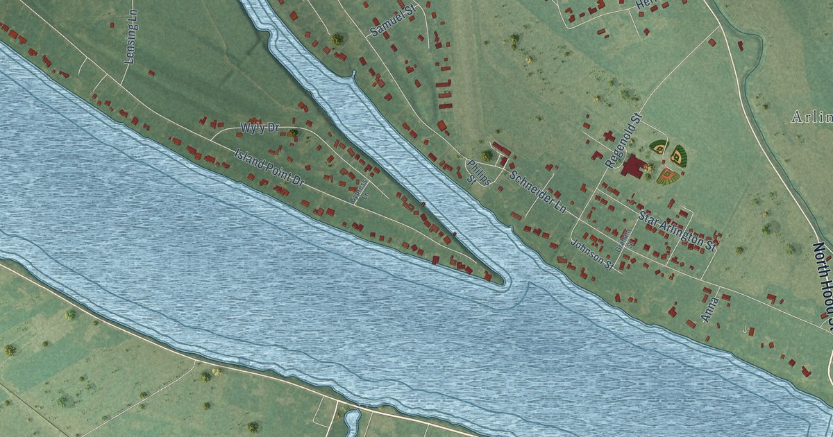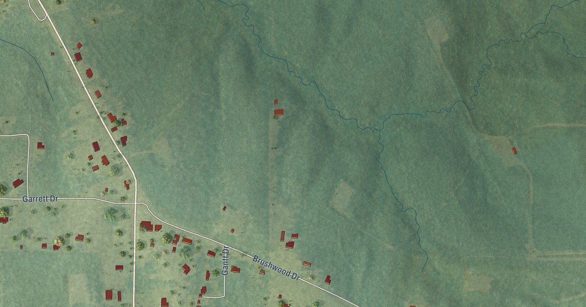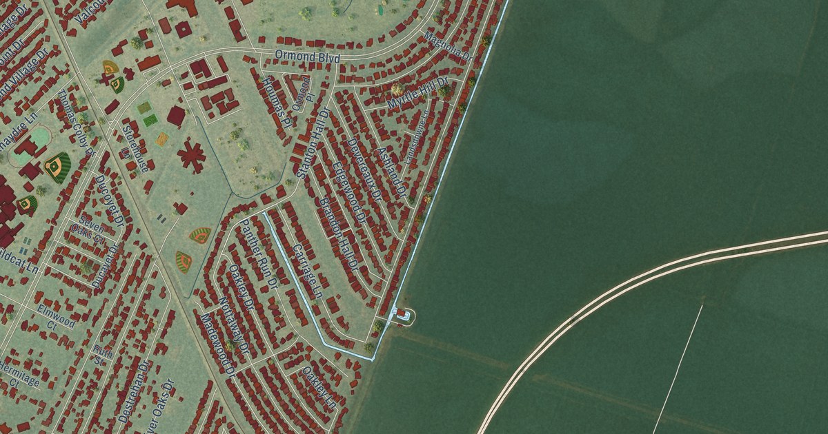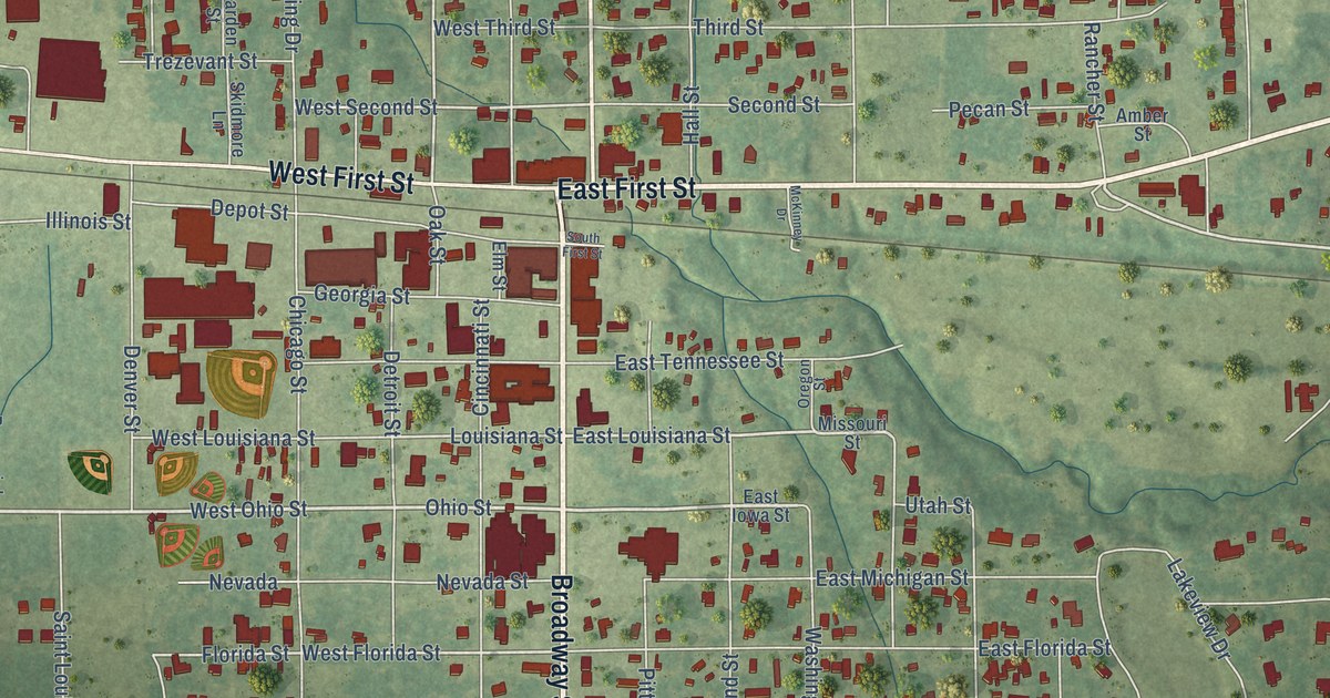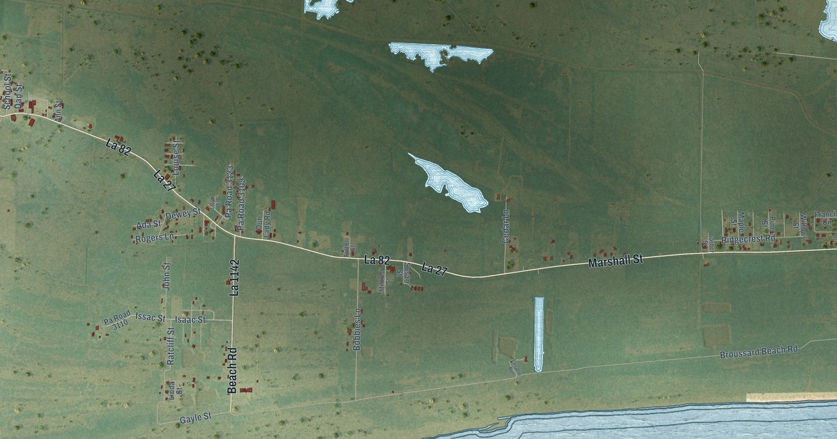
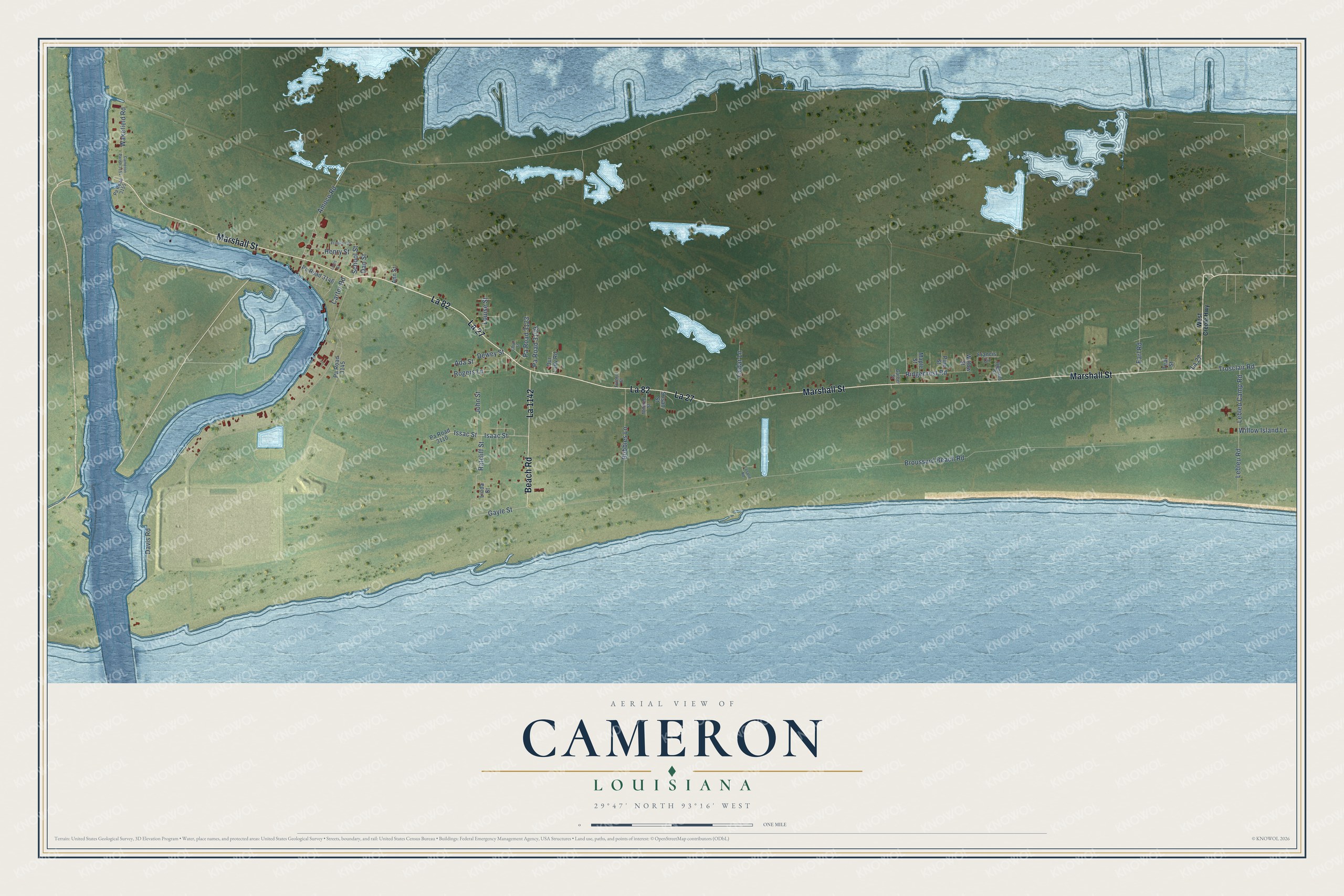
This beautifully detailed map of Cameron, Louisiana was created in 2026 using aerial imagery combined with modern topographical, census, street and landmark data. It’s a one-of-a-kind view of Cameron that combines accurate data with a vintage aesthetic. The map shows every building in its true location, many of the roads carry their names, and the shaded topographic relief shows the shape of the land.
Explore an aerial view of Cameron, Louisiana
On the map you’ll find La 27, La 82, and La 1142, along with Marshall Street, Beach Road, Isaac Street, Issac Street, Gayle Street, Ratcliff Street, John Street, School Street, Davis Road, and more. If you look closely you can even find your house accurately drawn in its correct location. Zoom in on the preview to look for yours.
Did You Know?
When Hurricane Audrey struck on June 27, 1957, hundreds of people rode out the storm in Cameron's concrete and steel courthouse, built twenty years earlier to withstand just such a hurricane. Many buildings in town were destroyed, but the courthouse and some older houses stood, and volunteers came from all over the nation to help families rebuild. About 500 people elsewhere in the parish died in the storm, and in 2007 its 50th anniversary was observed with ceremonies at the courthouse. That's from the Cameron Parish Pilot newspaper.
Take a closer look at the Cameron map
Names on this map
These names are printed on this map.
Streets and roads: Marshall Street, La 27, La 82, Beach Road, La 1142, Isaac Street, Issac Street, Gayle Street, Ratcliff Street, John Street, School Street, Davis Road.
More street names, A to Z
Ada Street, Amoco Road, Ann Street, Bobbies Lane, Broussard Beach Road, Cameron Parish 3154, Carter Road, Cedar Lane, Dan Street, Dewey Street, Earl Road, Francis Circle, Franklin Street, Fulton Street, Garber Street, Henry Street, Highland Street, Lasalle Road, Lebleu Camp Road, Lebleu Road, Linda Street, Lions Street, Lloyd Street, Louise Street, Maple Street, Mildred Street, Our Lady Road, Pa Road 3109, Pa Road 3110, Pa Road 3123, Pa Road 3145, Pa Road 3146, Pa Road 3155, Pine Street, Ridgecrest Road, Rogers Lane, Susan Street, Teal Street, Trosclair Road, Wakefield Road, West Creole Highway, Willow Island Lane, Willow Street.
See it on a wall
The Cameron map as a framed print. Swipe for more.


This beautifully detailed map of Cameron makes an attractive addition to your office, library, or den, and it can even be used to teach children the geography and history of the area. It also makes a great gift for someone who left Cameron and still calls it home. When you’re done exploring, click here to get your copy of the Cameron map.