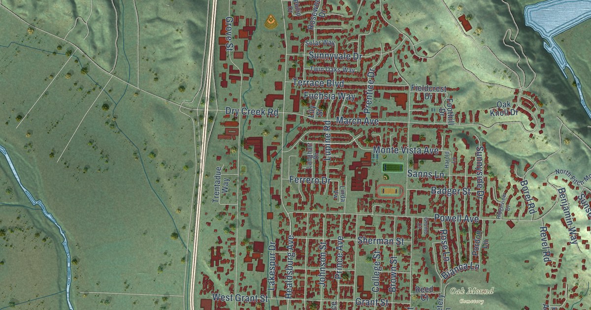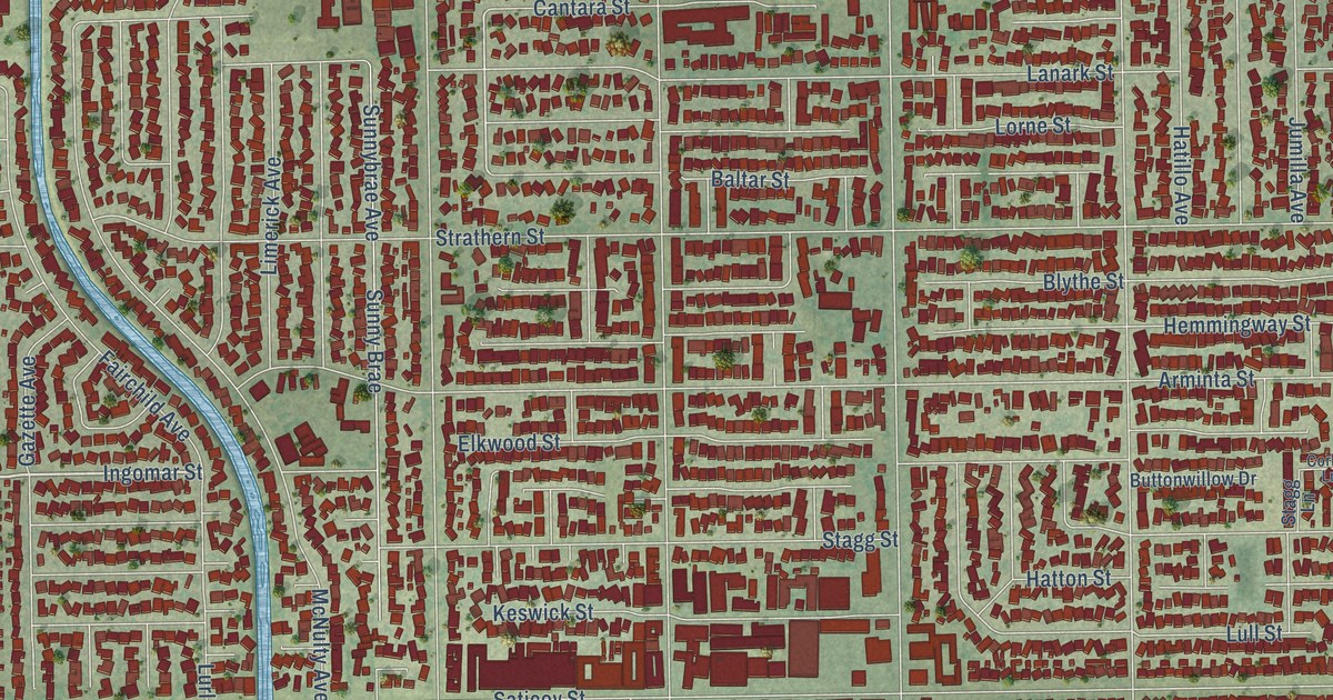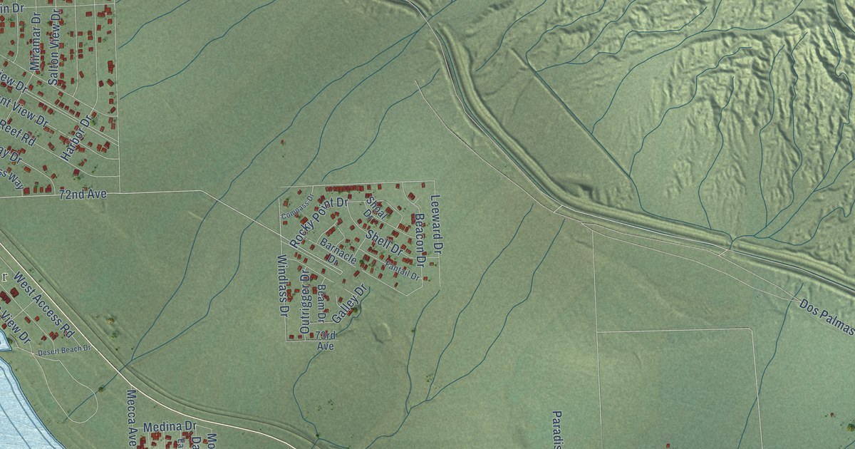
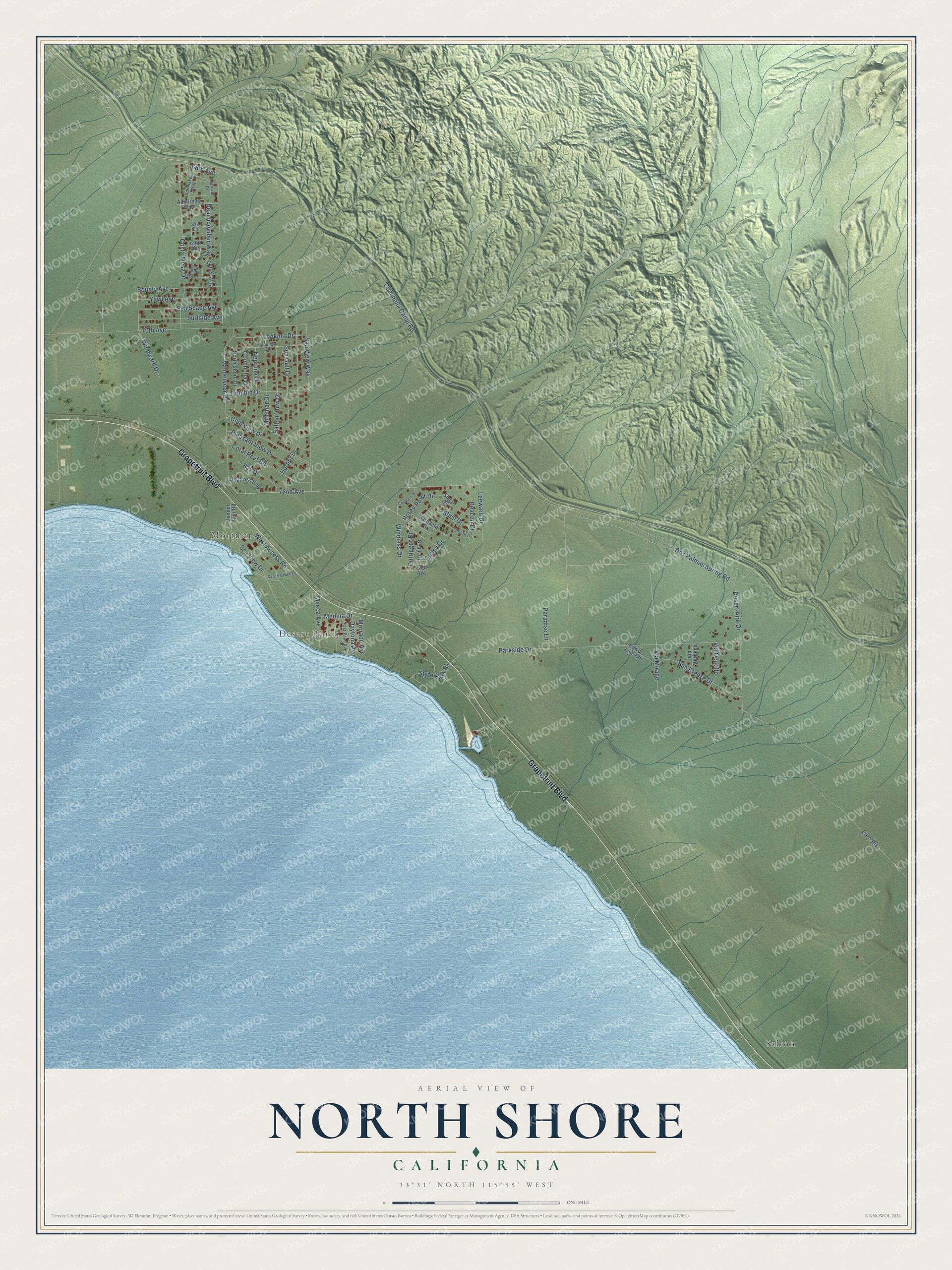
This beautifully detailed map of North Shore, California was created in 2026 using aerial imagery combined with modern topographical, census, street and landmark data. It's a modern aerial view of North Shore in Riverside County, California, that combines modern data with a vintage aesthetic. The roads feature printed names, and if you look closely you can find your exact house accurately shown in its correct location.
Explore an aerial view of North Shore, California
On this map you'll find Mortmar, Desert Beach, Salton, Grapefruit Boulevard, 72nd Avenue, Club View Drive, Coachella Canal Road, Dos Palmas Spring Road, Vanderveer Road, Parkside Drive, 70th Avenue, Sea View Way, and more. Each red shape is a building, so zoom in on the preview and look for yours.
North Shore has a story worth telling. The North Shore Yacht Club on the Salton Sea was designed by master architect Albert Frey to suggest a ship, with a curved prow, a tall central mast, porthole windows facing the water and a crow's nest lounge. After falling into disrepair in the 1990s, it was rehabilitated and reopened to the public in 2010. That's from the National Register of Historic Places.
North Shore is a community in Riverside County. The Census Bureau counted 3,585 people here in 2020.
Take a closer look at the North Shore map
Names on this map
These names are printed on this map.
Places: Mortmar, Desert Beach and Salton.
Streets and roads: Grapefruit Boulevard, 72nd Avenue, Club View Drive, Coachella Canal Road, Dos Palmas Spring Road, Vanderveer Road, Parkside Drive, 70th Avenue, Sea View Way, Costa Mesa Drive, Line Road, Harbor Drive.
More street names, A to Z
68th Avenue, 69th Avenue, 73rd Avenue, Admiralty Way, Albatross Way, Barnacle Drive, Bay Drive, Beachcomber Way, Beacon Drive, Beam Drive, Bounty Avenue, Compass Drive, Conchella Drive, Coral Reef Road, Cutter Way, Daytona Avenue, Desert Aire Drive, Desert Beach Drive, Dolphin Drive, East Palm Avenue, Fantail Drive, Flamingo Drive, Galley Drive, Halyard Drive, Leeward Drive, Lookout Drive, Mecca Avenue, Medina Drive, Miramar Drive, Morraco Avenue, Neptune Drive, North Shore Drive, Outrigger Drive, Paradise Lane, Pleasant View Drive, Power Line Road, Rocky Point Drive, Sail Circle, Salton View Drive, Schooner Way, Sea Breeze Drive, Sea Gull Drive, Sea Scape Avenue, Sea View Drive, Shell Drive, Shoal Drive, Spinnaker Way, State Park Road, Surfside Avenue, Vander Veer Road, Via Mirage, Via Ocotillo, Via Verbena, West Access Road, Windlass Drive, Windward Drive, Yawl Avenue.
See it on a wall
The North Shore map as a framed print. Swipe for more.


Created by KNOWOL in 2026. The buildings are small red shapes, the roads carry their printed names, and shaded relief shows the shape of the land. The title panel reads "AERIAL VIEW OF NORTH SHORE, CALIFORNIA" with 33°31' NORTH 115°55' WEST.
It looks right in a kitchen, an office or a den, and it's a gift for anyone who grew up in North Shore or moved away. Open the preview and find your street. See sizes and frames for the North Shore map.