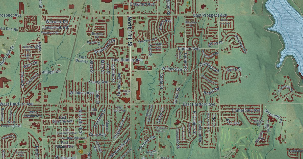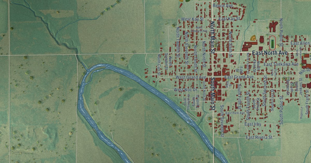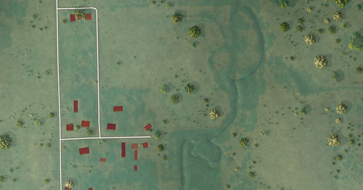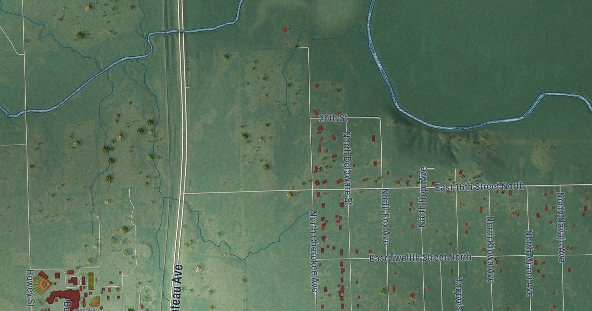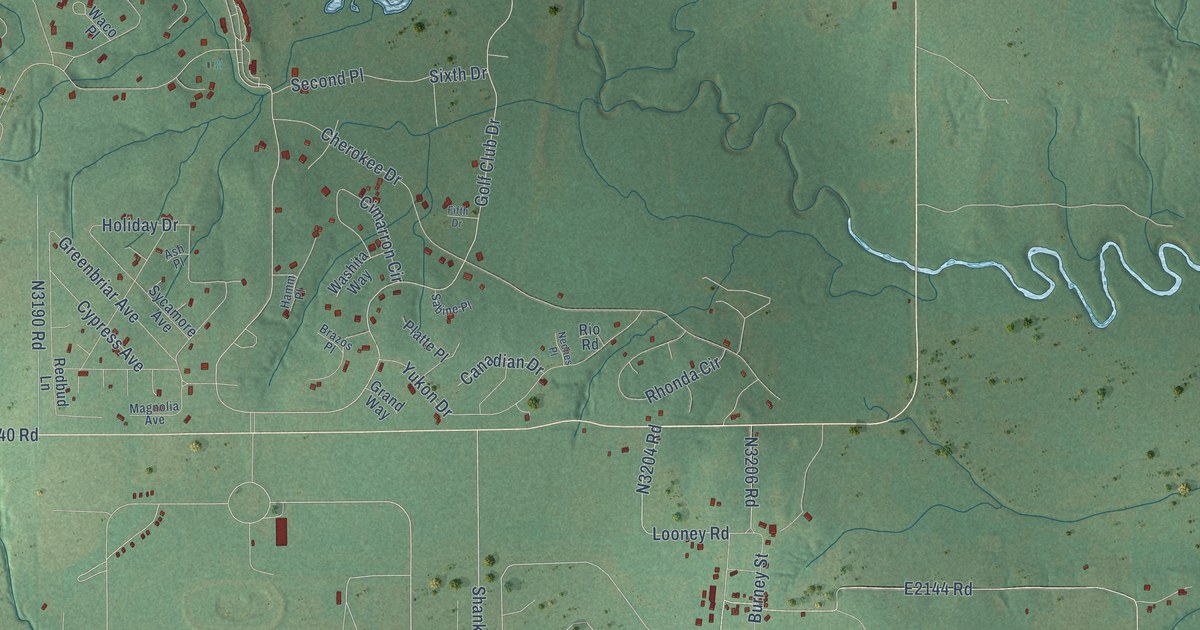
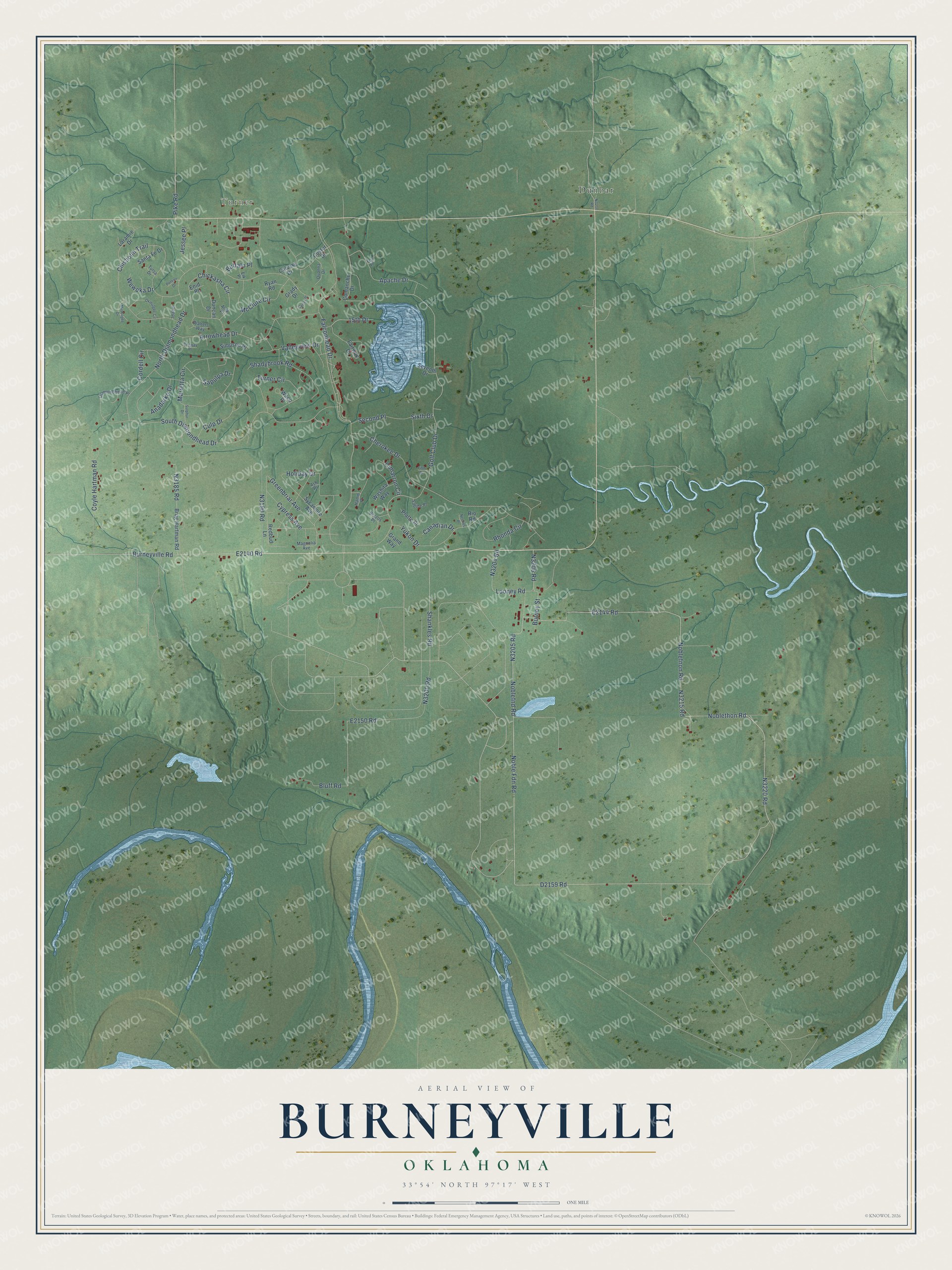
This beautifully detailed map of Burneyville, Oklahoma was created in 2026 using aerial imagery combined with modern topographical, census, street and landmark data. It's a modern aerial view of Burneyville in Love County, Oklahoma, that combines modern data with a vintage aesthetic. The roads feature printed names, and if you look closely you can find your exact house accurately shown in its correct location.
Explore an aerial view of Burneyville, Oklahoma
On this map you'll find Turner, Dunbar, Falconhead Drive, Golf Club Drive, Apache Drive, Noblefnon Road, N3220 Road, D2159 Road, N3205 Road, Noblefnd Road, E2150 Road, N3215 Road, and more. Each red shape is a building, so zoom in on the preview and look for yours.
Every town has a first chapter, and Burneyville is no exception. Burneyville, about 10 miles west of Marietta in Love County, was named for David C. Burney, a prominent Chickasaw. The town's post office opened on May 5, 1879. That's from the 1974 book Oklahoma Place Names.
Burneyville is a community in Love County. The Census Bureau counted 815 people here in 2020.
Take a closer look at the Burneyville map
Names on this map
These names are printed on this map.
Places: Turner and Dunbar.
Streets and roads: Falconhead Drive, Golf Club Drive, Apache Drive, Noblefnon Road, Noblefnd Road, South Diamondhead Drive, Burneyville Road, Holiday Drive, Shankles Road, Chisholm Trail, Noble Fdn Road, Noblethon Road.
More street names, A to Z
15th Drive, Alva Place, Anadarko Drive, Arrowhead Drive, Ash Place, Bluff Road, Brazos Place, Brug Hartman Road, Buffalo Place, Burney Street, Calvary Drive, Canadian Drive, Carter Place, Cherokee Drive, Chickasha Circle, Cimarron Circle, Comanche Drive, Conway Place, Cordell Circle, Coyle Hartman Road, Culp Drive, Custer Drive, Cypress Avenue, Diamondhead Place, Duncan Drive, Elk Place, Enid Place, Fairway Drive, Fifth Drive, Fox Place, Grady Drive, Grand Way, Greenbriar Avenue, Hamm Place, Idabel, Jessee Place, Laramie Drive, Looney Road, Magnolia Avenue, Marietta Circle, McClure Circle, Muskogee Drive, Neches Place, North Diamondhead Drive, Okmulgee Circle, Pike Road, Platte Place, Poteau Drive, Quanna Drive, Redbud Lane, Rhonda Circle, Rio Road, Ryan Road, Sabine Place, Santa Fe Drive, Sapulpa Drive, Second Place, Seventh Drive, Shadybrook Road, Simpson Place, Sixth Drive, Sulphur Drive, Sycamore Avenue, Tulsa Drive, Turner Circle, Valleyview Drive, Waco Place, Walters Way, Washita Way, Wewoka Drive, Yukon Drive.
See it on a wall
The Burneyville map as a framed print. Swipe for more.


Created by KNOWOL in 2026. The buildings are small red shapes, the roads carry their printed names, and shaded relief shows the shape of the land. The title panel reads "AERIAL VIEW OF BURNEYVILLE, OKLAHOMA" with 33°54' NORTH 97°17' WEST.
Hang it in the hallway, the office or the cabin, or give it to someone who left Burneyville and still calls it home. Open the preview and look for a street you know. See sizes and frames for the Burneyville map.