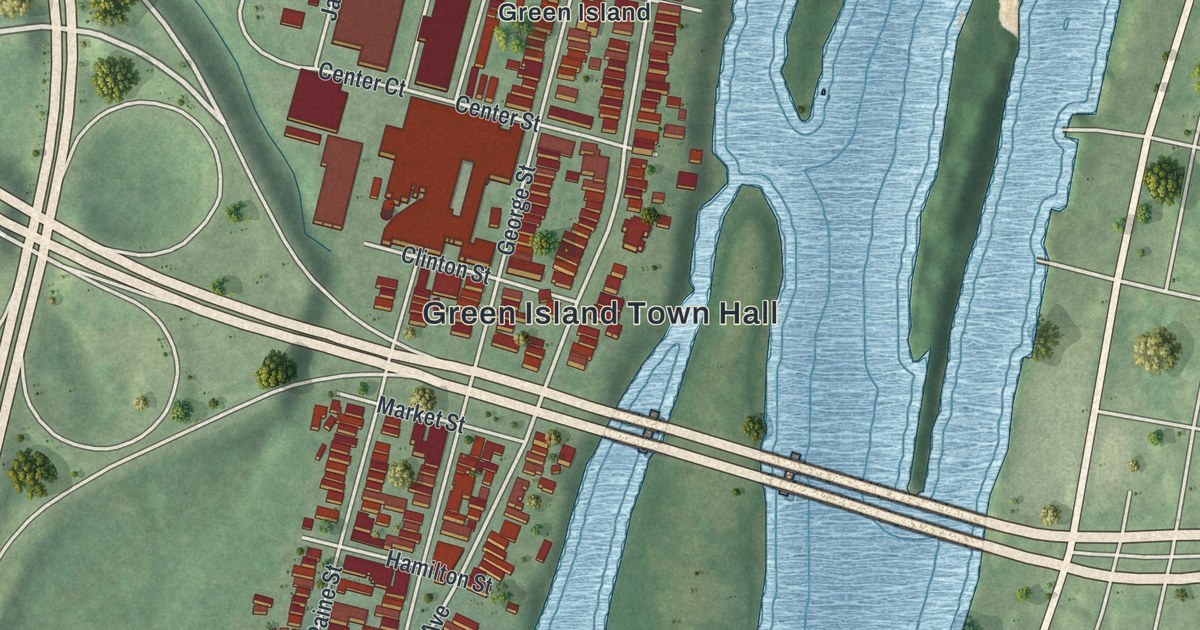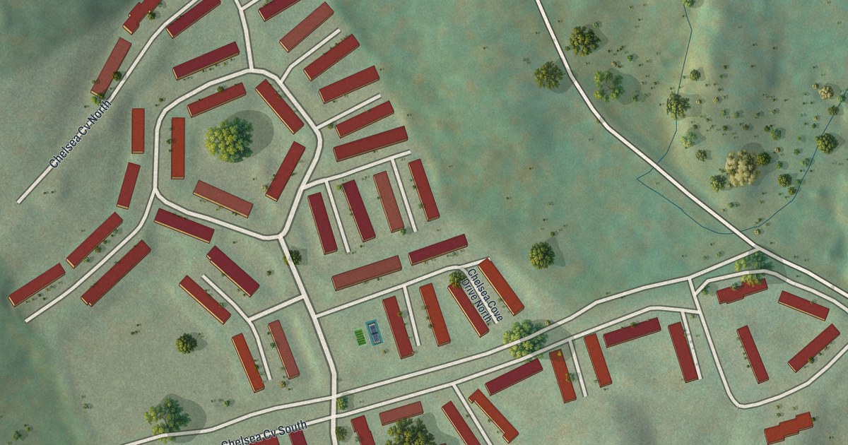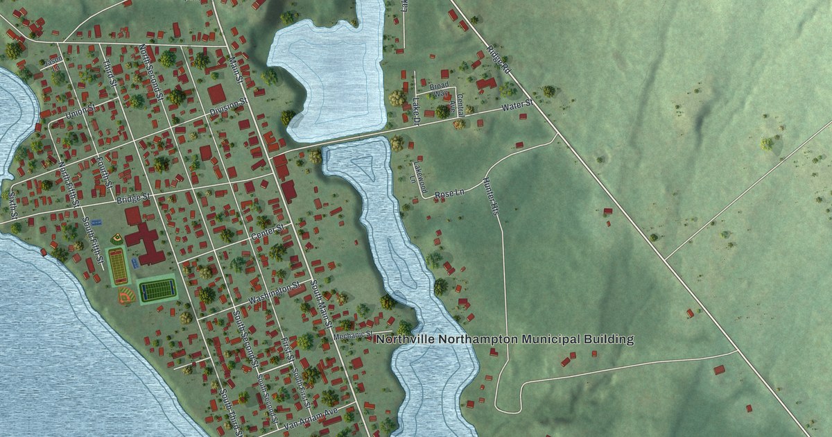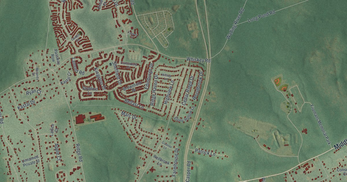
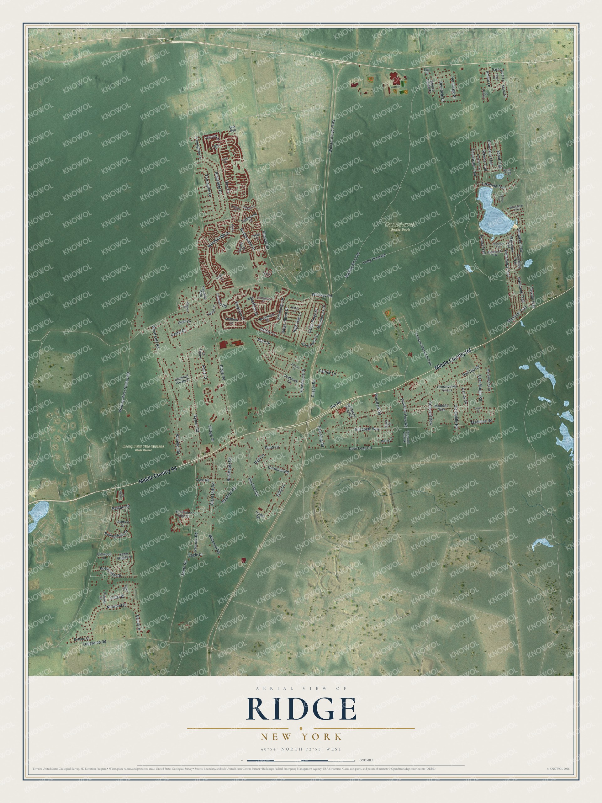
This beautifully detailed map of Ridge, New York was created in 2026 using aerial imagery combined with modern topographical, census, street and landmark data. It's a modern aerial view of Ridge in Suffolk County, New York, that combines modern data with a vintage aesthetic. The roads feature printed names, and if you look closely you can find your exact house accurately shown in its correct location.
Explore an aerial view of Ridge, New York
On this map you'll find Brookhaven State Park, Rocky Point Pine Barrens State Forest, Middle Country Road, Woodbridge Drive, Randall Road, Kingston Drive, Amber Lane, Ridge Haven Drive, William Floyd Parkway, Wading River Hollow Road, Ridge Road, Wading River Road, and more. Each red shape is a building, so zoom in on the preview and look for yours.
Ridge has a story worth telling. The Longwood Estate in Ridge was once part of the Manor of St. George, granted to William Smith in 1693, and its house was built around 1790. William Smith, who took over the estate in 1817, raised 10 children there with his wife Eleanor, ran it as a business in livestock and lumber, and was Brookhaven Town Supervisor from 1829 to 1834. In 1974, after residents and town officials fought a plan to develop the land, the manor house and 35 acres were donated to the Town of Brookhaven. That's from the William G. Pomeroy Foundation.
Ridge is a community in Suffolk County. The Census Bureau counted 13,271 people here in 2020.
Take a closer look at the Ridge map
Names on this map
These names are printed on this map.
Places: Brookhaven State Park, Rocky Point Pine Barrens State Forest and Firemans Memorial Park.
Streets and roads: Middle Country Road, Woodbridge Drive, Randall Road, Kingston Drive, Amber Lane, Ridge Haven Drive, William Floyd Parkway, Wading River Hollow Road, Ridge Road, Wading River Road, Whiskey Road, Long Pond Road.
More street names, A to Z
Apple Court, Arlington Drive, Ashford Drive, Belfast Lane, Bellaire Drive, Betsy Court, Big Pine Road, Bridgewater Drive, Brittany Court, Brownfield Drive, Canterbury Drive, Cardiff Court, Caroline Drive, Casper Road, Cedar Heights Drive, Cedar Ridge Drive, Cheemaun Trail, Cherokee Trail, Cliffwood Lane, Conservation Circus, Corchaug Trail, Cornfield Road, Crabtree Lane, Crescent Bow, Cross Road, Deerfield Drive, Deer Leap Road, Dew Flag Road, Eagle Drive, Eason Drive, East Amber Lane, Eastbourne Court, East Margin Road, Edinburgh Drive, Elizabeth Way, Elm Street, Enfield Court, Fairway Court, Farmhouse Drive, Forest Trail, Framingham Lane, Fuller Drive, Giant Oak Road, Glen Drive, Gull Dip Road, Half Moon Pond Road, Hay Road, Hermitage Street, Highview Lane, Hilltop Lane, Iroquois Trail, Jamie Street, Kamoy Drive, Kastal Court, Kastal Drive, Lakeside Trail, Lamont Road, Lattice Court, Laurel Drive, Leisure Drive, Longwood Road, Madeline Road, Madeline Way, Manhasset Trail, Marc Drive, Marginwood Drive, Maria Court, Matinecock Trail, Medford Road, Millford Court, Millwood Road, Miranda Drive, Montauk Trail, Newcomb Trail, Niewood Drive, Oakridge Circle, Oak Run, Oakview Trail, Oldham Court, Old Saddle Road, Orient Court, Pamela Drive, Panamoka Trail, Passway Row, Patrick Lane, Peconic Road, Pine Bark Road, Pleasant View Drive, Pleasant View Road, Pond Lane, Pony Trail, Raynor Road, Redbrook Lane, Red Maple Road, Ridgefield Drive, Rockaway Trail, Rolling Hills Drive, Ruth Lane, Ryan Court, Sally Lane, Scenic Hills Drive, Scout Trail, Seneca Trail, Setauket Trail, Sheffield Drive, Shelter Harbor Court, Silver Court, Smith Road, Stony Hollow Lane, Stratford Lane, Strathmore Ridge Drive, Tarkhill Trail, Timber Road, Torrington Lane, Toussie Court, Trent Court, Unnamed Private Street, Ventry Court, Village Drive, Wauwepex Trail, Woodbrook Drive, Woodlot Road, Wood Lots Road.
See it on a wall
The Ridge map as a framed print. Swipe for more.


Created by KNOWOL in 2026. The buildings are small red shapes, the roads carry their printed names, and shaded relief shows the shape of the land. The title panel reads "AERIAL VIEW OF RIDGE, NEW YORK" with 40°54' NORTH 72°53' WEST.
It looks right in a kitchen, an office or a den, and it's a gift for anyone who grew up in Ridge or moved away. Open the preview and find your street. See sizes and frames for the Ridge map.