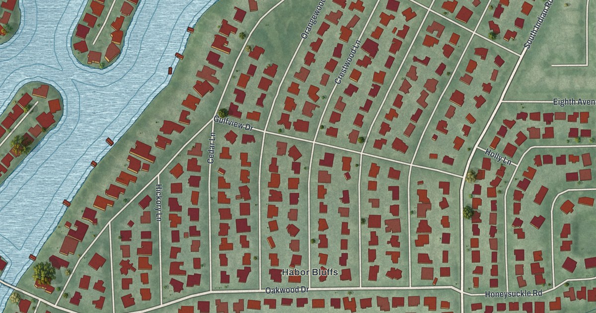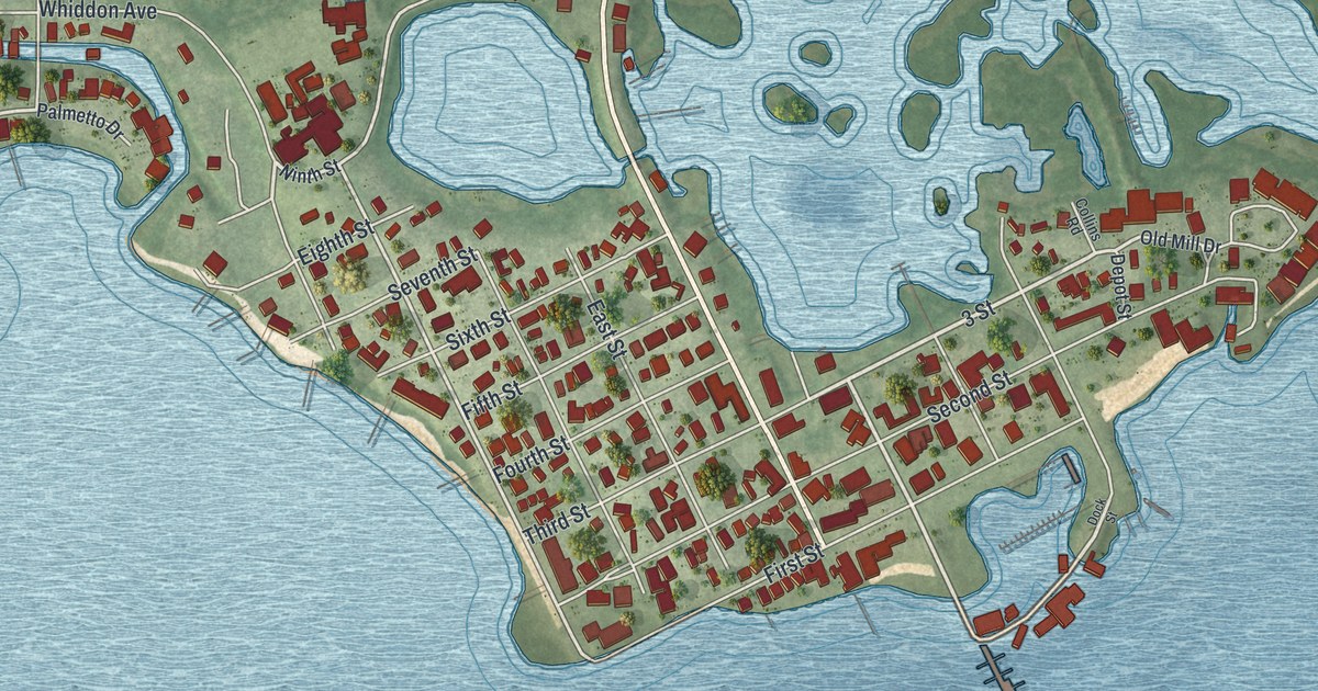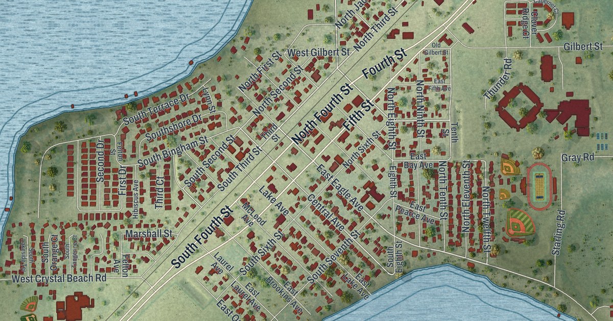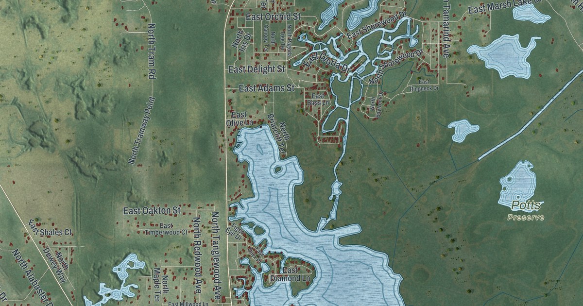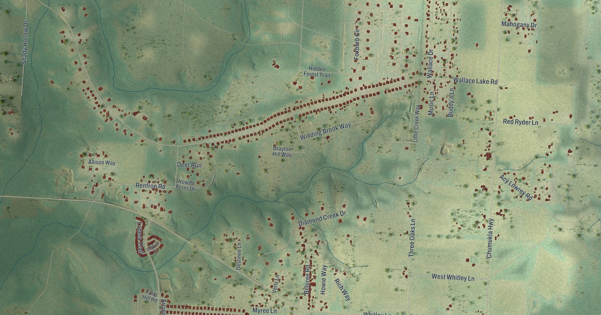
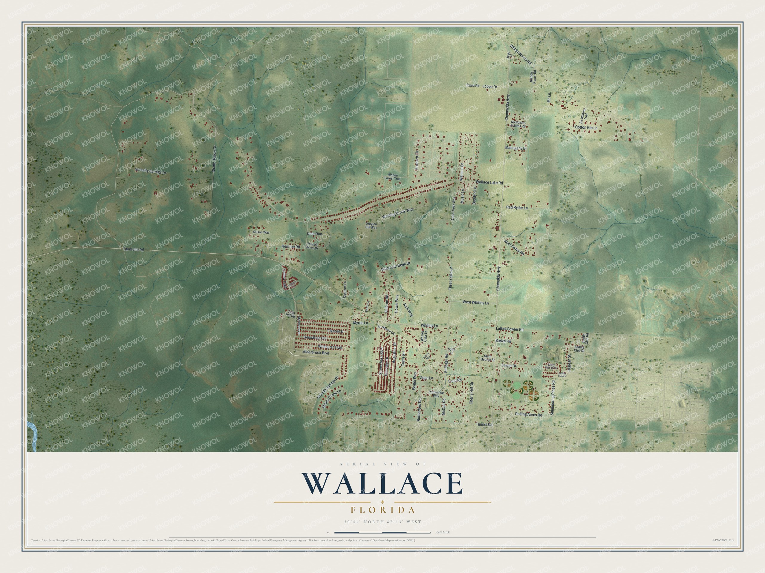
This beautifully detailed map of Wallace, Florida was created in 2026 using aerial imagery combined with modern topographical, census, street and landmark data. It's a modern aerial view of Wallace in Santa Rosa County, Florida, that combines modern data with a vintage aesthetic. The roads feature printed names, and if you look closely you can find your exact house accurately shown in its correct location.
Explore an aerial view of Wallace, Florida
On this map you'll find Chumuckla Highway, West Whitley Lane, Chumukla Highway, Whitley Lane, Enfinger Road, Three Oaks Lane, Wallace Lake Road, Quintette Road, Alderbrook Boulevard, Willard Norris Road, Tunnel Road, Luther Fowler Road, and more. Each red shape is a building, so zoom in on the preview and look for yours.
Here is a piece of Wallace history. Wallace Baptist Church began as Smyrna Baptist Church, organized in 1905 about 300 yards west of the present pastorium. In about 1943 the congregation built a one-room red tile church where it stands today and took the name Wallace Baptist Church in October 1946, and later the men of the church built the present sanctuary. The church joined the Pensacola Bay Baptist Association in 1907 and the Santa Rosa Baptist Association in 1913. That's from the Florida Baptist Historical Society.
Wallace is a community in Santa Rosa County. The Census Bureau counted 3,868 people here in 2020.
Take a closer look at the Wallace map
Names on this map
These names are printed on this map.
Streets and roads: Chumuckla Highway, West Whitley Lane, Chumukla Highway, Whitley Lane, Enfinger Road, Three Oaks Lane, Wallace Lake Road, Quintette Road, Alderbrook Boulevard, Willard Norris Road, Tunnel Road, Luther Fowler Road.
More street names, A to Z
Aarons Way, Acy Lowrey Road, Allison Way, Arciero Avenue, Augustine Drive, Barley Road, Billoree Road, Buckthorn Circle, Buddy's Lane, Caldwell Circle, Cherry Hill Circle, Cotton Gin Lane, Curtis Road, Deer Run, Destinee Lane, Diamond Creek Drive, Drayton Hill Way, Dunridge Drive, Eli Whitney Trail, Elkhorn Drive, Foxboro Circle, Gemstone Circle, Granite Springs Drive, Hialeah Street, Hidden Forest Trail, Howell Acres Drive, Howie Way, Joppa Drive, Joppa Road, Ladera Trail, Little Creek Way, Loop Road, Mahogany Drive, McCall Road, Mc Lane, Misty Woods Circle, Mossy Creek Lane, Music Lane, Myree Lane, Nicholson Estates Road, Nichols Ranch Road, Periwinkle Way, Red Ryder Lane, Renfroe Road, Rich Way, Rolling Acres Road, Rutherford Road, Saddle Club Circle, Saddle Club Drive, Saddle Club Road, Saint George Street, Serenity Springs Drive, Shady Hollow Drive, Shimmering Pines Road, Smyer Drive, Stepp Lane, Stonechase Boulevard, Toby Lane, Tulip Hill Road, Verls Lane, Wallace Drive, Whitley Oaks Lane, Wildhurst Trail, Winding Brook Way, Wyndi Way, Zepp Lane.
See it on a wall
The Wallace map as a framed print. Swipe for more.


Created by KNOWOL in 2026. The buildings are small red shapes, the roads carry their printed names, and shaded relief shows the shape of the land. The title panel reads "AERIAL VIEW OF WALLACE, FLORIDA" with 30°41' NORTH 87°13' WEST.
It suits a den, a classroom or a front hall, and it makes a gift for anyone with Wallace roots. Open the preview and find the block you know. See sizes and frames for the Wallace map.