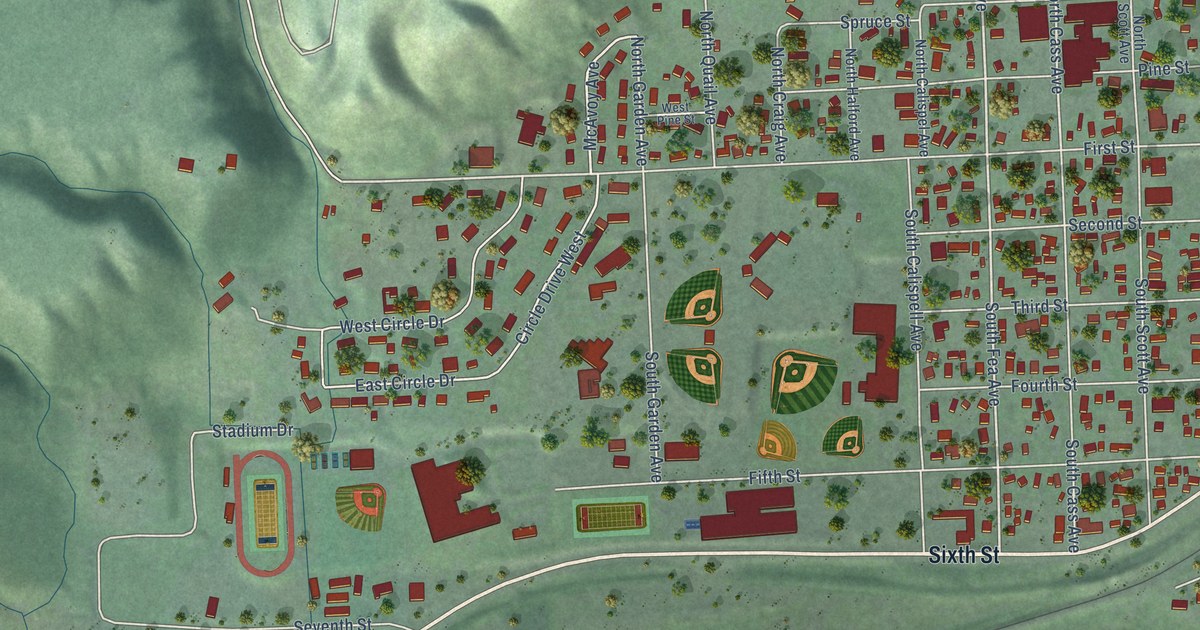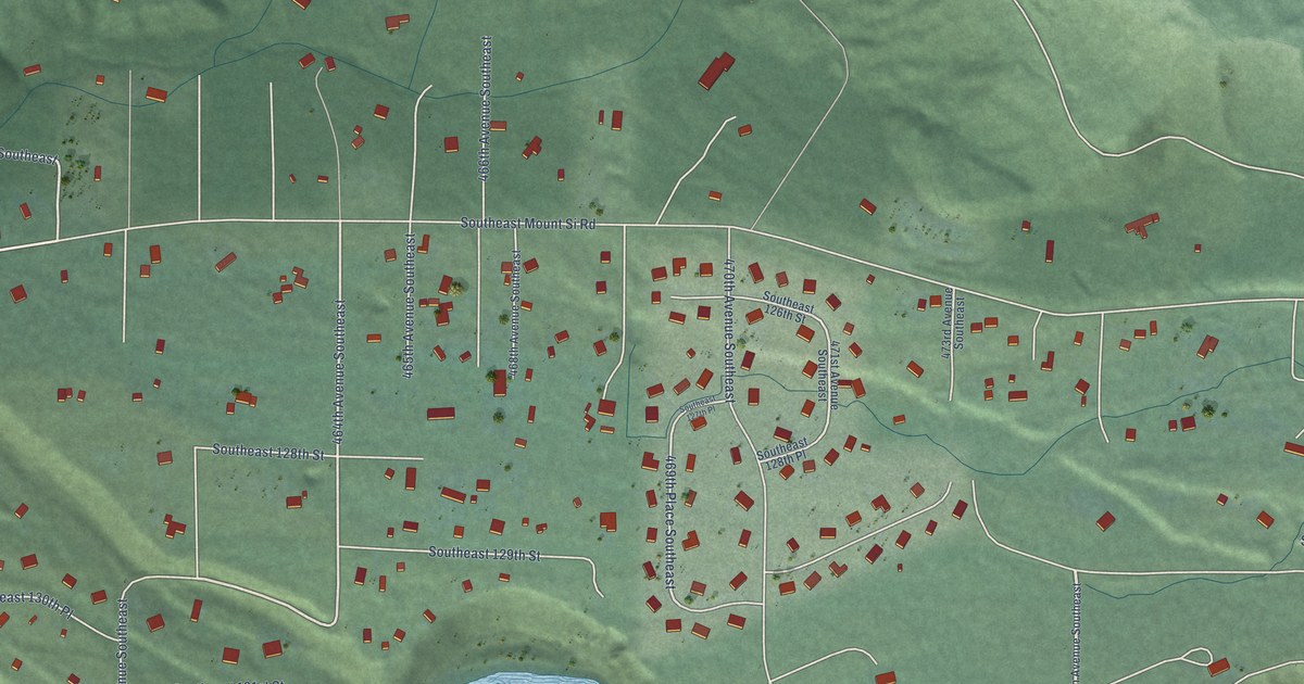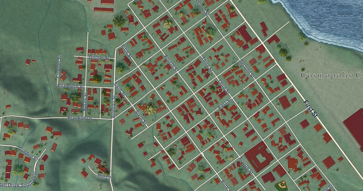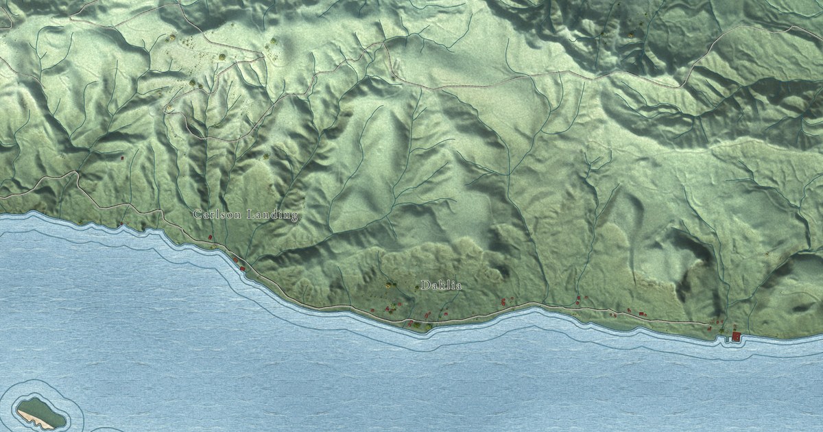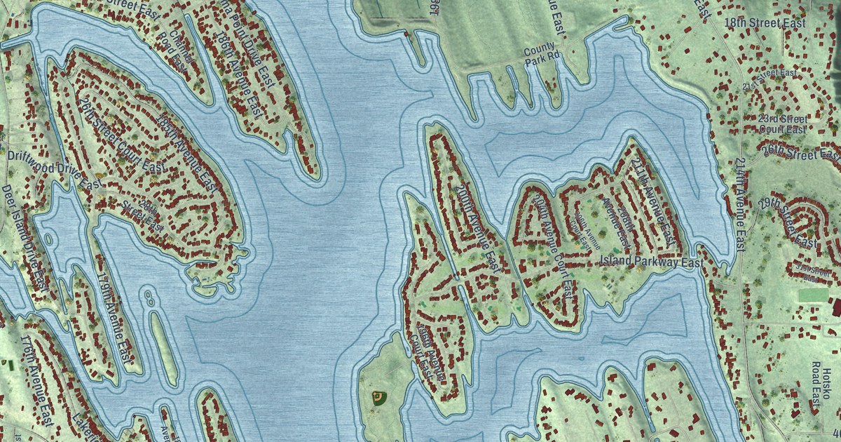
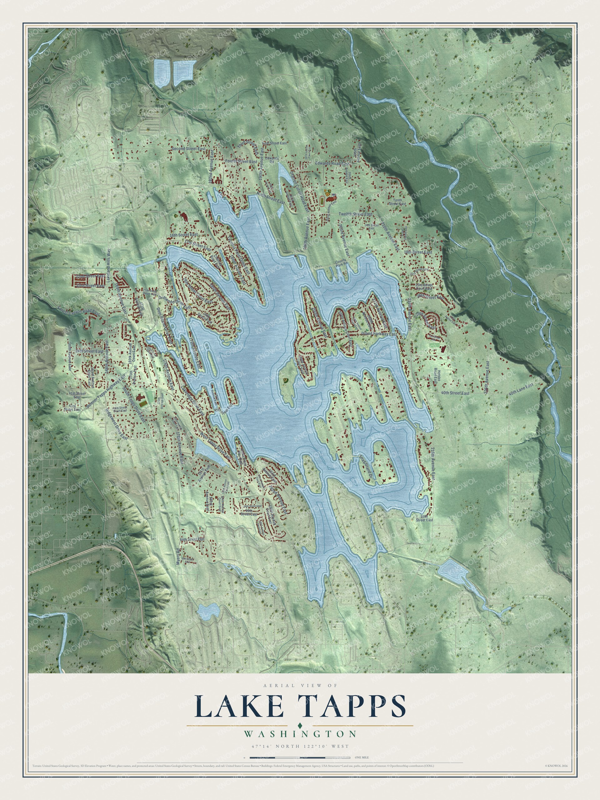
This beautifully detailed map of Lake Tapps, Washington was created in 2026 using aerial imagery combined with modern topographical, census, street and landmark data. It's a modern aerial view of Lake Tapps in Pierce County, Washington, that combines modern data with a vintage aesthetic. The roads feature printed names, and if you look closely you can find your exact house accurately shown in its correct location.
Explore an aerial view of Lake Tapps, Washington
On this map you'll find Snag Island Drive, 182nd Avenue East, 214th Avenue East, 40th Street East, 190th Avenue East, 210th Avenue East, 16th Street East, 218th Avenue East, Twelfth Street East, 29th Street East, 169th Avenue East, Sumner Tapps Highway East, and more. Each red shape is a building, so zoom in on the preview and look for yours.
Here is a piece of Lake Tapps history. Lake Tapps is a reservoir built for a hydroelectric project, and its waters swallowed four smaller lakes: Lake Tapps, Crawford Lake, Church Lake and Kirtley Lake. Kirtley Lake was named for a family who homesteaded there in 1885, after crossing the Cascades on the Naches Trail in 1854. The Kirtleys moved closer to Buckley around 1900, and their homestead was later flooded when the larger lake was created. That's from the Seattle station KIRO Radio.
Lake Tapps is a community in Pierce County. The Census Bureau counted 12,962 people here in 2020.
Take a closer look at the Lake Tapps map
Names on this map
These names are printed on this map.
Streets and roads: Snag Island Drive, 182nd Avenue East, 214th Avenue East, 40th Street East, 190th Avenue East, 210th Avenue East, 16th Street East, 218th Avenue East, Twelfth Street East, West Tapps Drive East, 29th Street East, 169th Avenue East.
More street names, A to Z
14th Street East, 17th Street East, 18th Street East, 21st Street East, 22nd Street East, 23rd Street Court East, 23rd Street East, 25th Street Court East, 26th Street Court East, 26th Street East, 28th Street East, 31st Street East, 33rd Street Court East, 34th Street East, 40th Lane East, 41st Street East, 43rd Street Court East, 43rd Street East, 45th Street East, 58th Street East, 59th Street East, 60th Street East, 64th Street East, 67th Street East, 160th Avenue East, 163rd Avenue Court East, 166th Avenue East, 169th Avenue Court East, 170th Avenue East, 171st Avenue East, 175th Avenue East, 176th Avenue East, 178th Avenue Court East, 178th Avenue East, 179th Avenue East, 181st Avenue East, 183rd Avenue East, 184th Avenue Court East, 184th Avenue East, 185th Avenue Court East, 185th Avenue East, 186th Avenue East, 189th Avenue Court East, 190th Avenue Court East, 191st Avenue Court East, 192nd Avenue East, 193rd Avenue East, 195th Avenue East, 196th Avenue Court East, 197th Avenue Court East, 198th Avenue East, 200th Avenue East, 201st Avenue East, 203rd Avenue East, 204th Avenue Court East, 204th Avenue East, 205th Avenue East, 206th Avenue Court East, 208th Avenue East, 211th Avenue East, 213th Avenue East, 220th Avenue East, 226th Avenue East, Channel Road East, County Park Road, Deer Island Drive East, Driftwood Drive East, Edwards Road, Edwards Road East, Fifth Street East, First Street East, Forest Canyon Road East, Fourth Street East, Hotsko Road East, Island Parkway East, Jenks Point Way East, Lakeland Hills Way, Lakeridge Drive East, Myers Road, Ninth Street East, Ofarrell Cutoff Road East, Ridgewest Drive East, Second Street East, South Tapps Drive East, Sumner Tapps Highway East, Tacoma Point Drive East, Tenth Street East, Third Street East.
See it on a wall
The Lake Tapps map as a framed print. Swipe for more.


Created by KNOWOL in 2026. The buildings are small red shapes, the roads carry their printed names, and shaded relief shows the shape of the land. The title panel reads "AERIAL VIEW OF LAKE TAPPS, WASHINGTON" with 47°14' NORTH 122°10' WEST.
It suits a den, a classroom or a front hall, and it makes a gift for anyone with Lake Tapps roots. Open the preview and find the block you know. See sizes and frames for the Lake Tapps map.