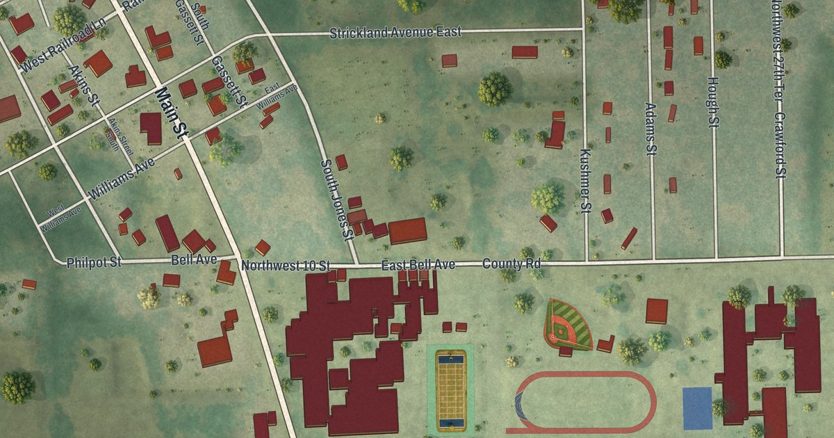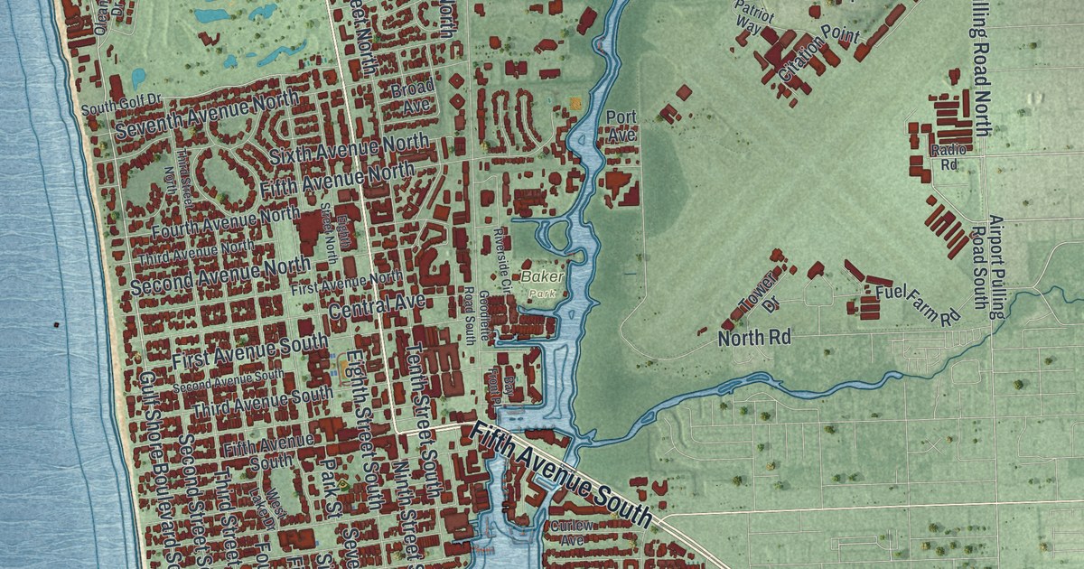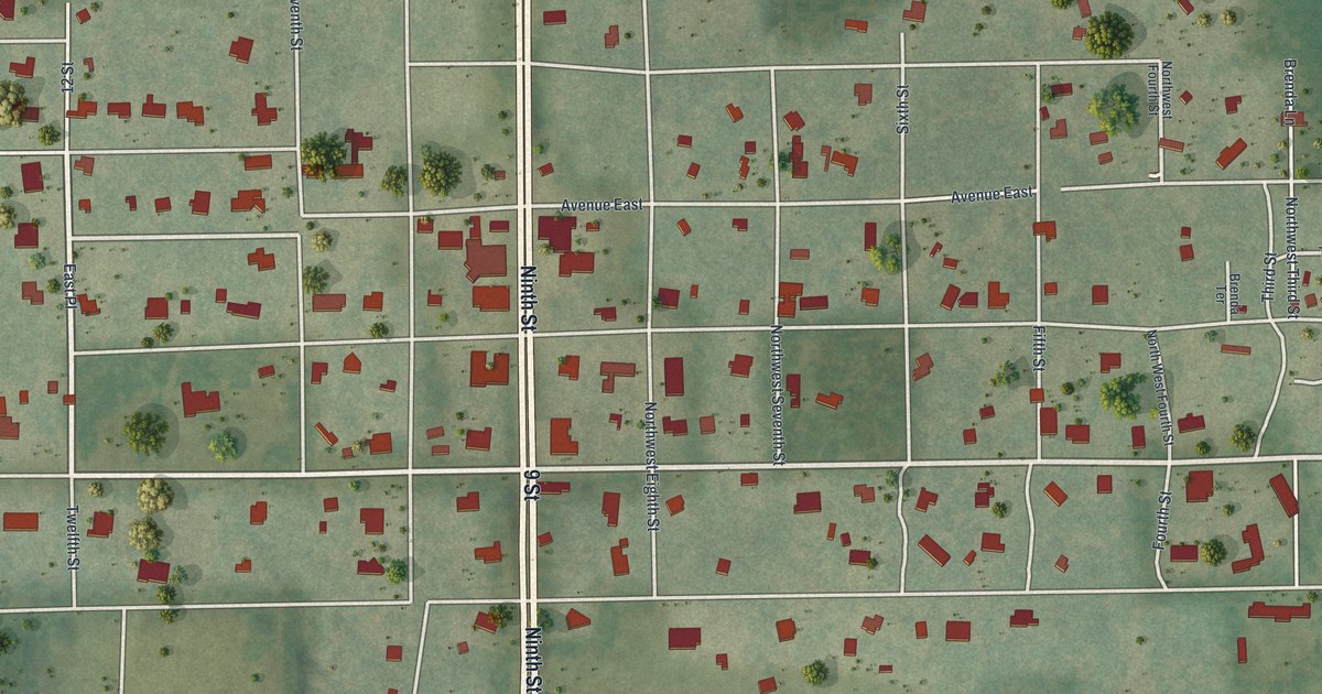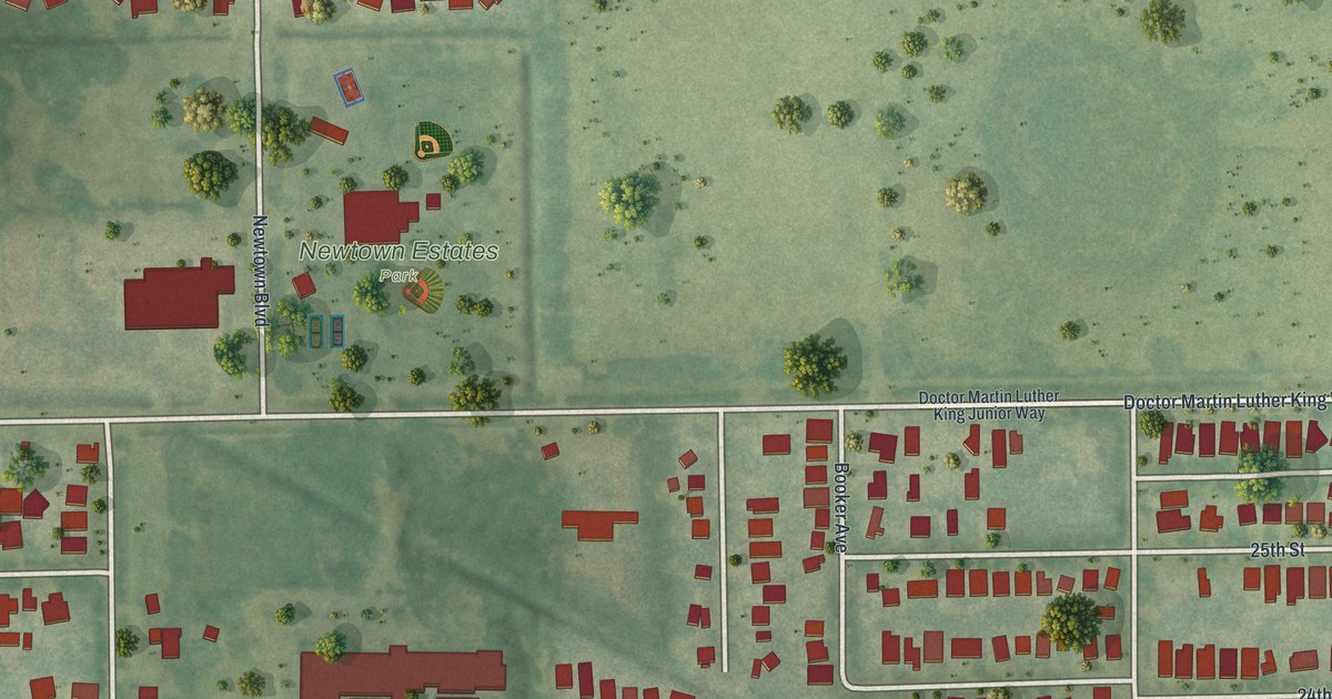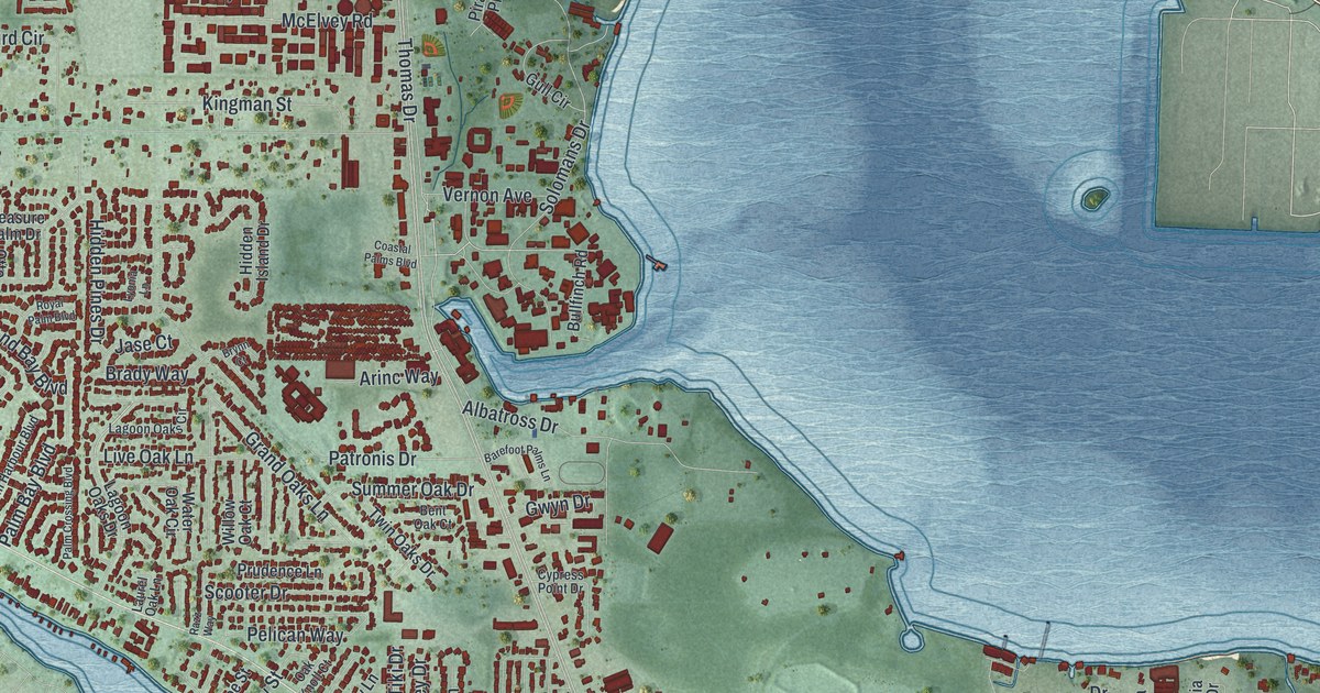
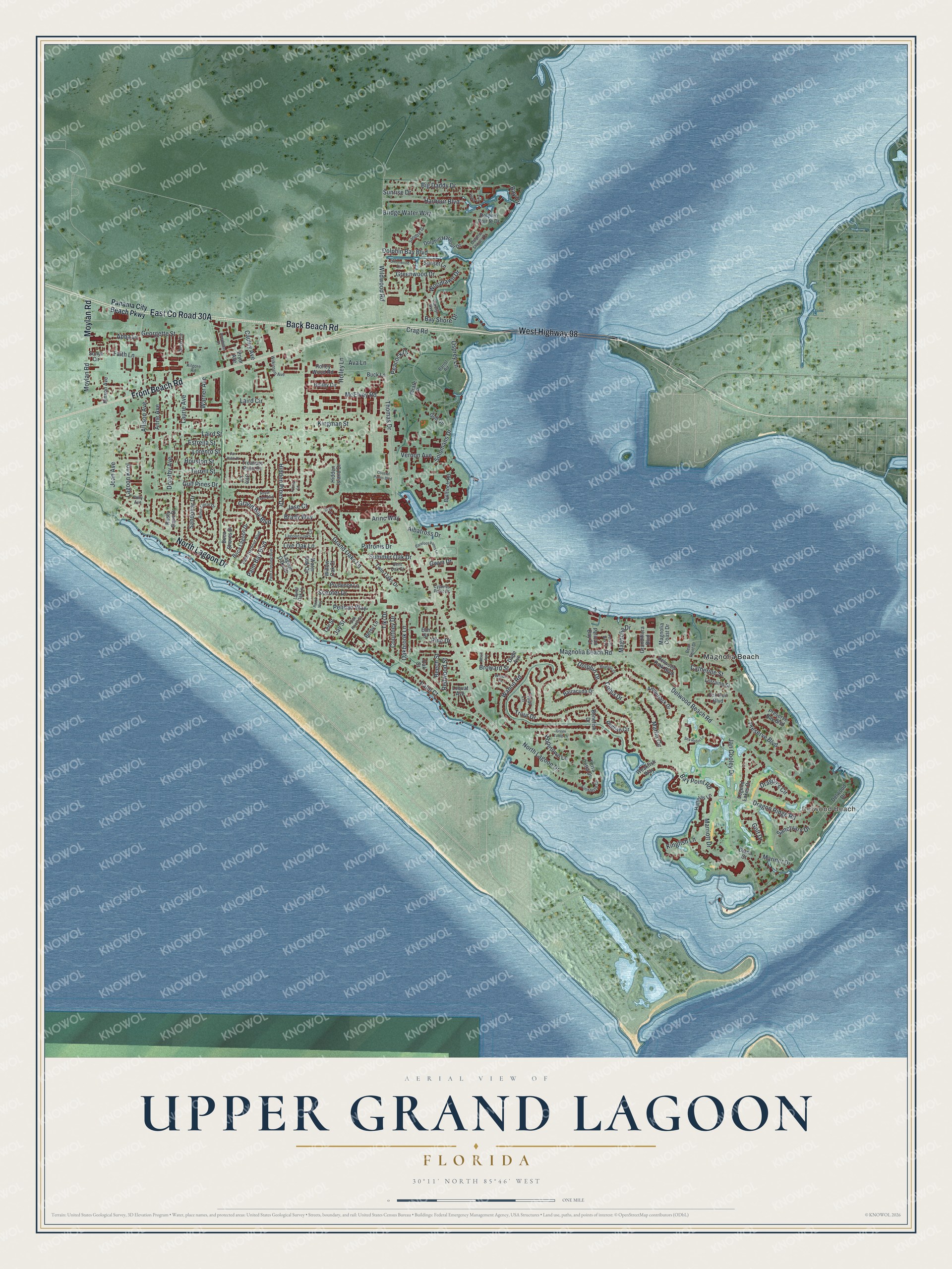
This beautifully detailed map of Upper Grand Lagoon, Florida was created in 2026 using aerial imagery combined with modern topographical, census, street and landmark data. It's a modern aerial view of Upper Grand Lagoon in Bay County, Florida, that combines modern data with a vintage aesthetic. The roads feature printed names, and if you look closely you can find your exact house accurately shown in its correct location.
Explore an aerial view of Upper Grand Lagoon, Florida
On this map you'll find Delwood Beach, Magnolia Beach, West Highway 98, Front Beach Road, Back Beach Road, East Co Road 30A, North Lagoon Drive, Moylan Road, Magnolia Beach Road, Bay Point Road, Wildwood Road, Mariner Drive, and more. Each red shape is a building, so zoom in on the preview and look for yours.
Here is a piece of Upper Grand Lagoon history. The Navy base just east of Hathaway Bridge started as a Naval Section Base in 1942 and was the U.S. Naval Amphibious Training Base, St. Andrews Bay, by mid-1944. In July 1945 it became the U.S. Navy Mine Countermeasures Station, later known as the Naval Coastal Systems Station. That's from the Museum of Florida History.
Upper Grand Lagoon is a community in Bay County. The Census Bureau counted 15,778 people here in 2020.
Take a closer look at the Upper Grand Lagoon map
Names on this map
These names are printed on this map.
Places: Delwood Beach and Magnolia Beach.
Streets and roads: West Highway 98, Front Beach Road, Back Beach Road, North Lagoon Drive, Moylan Road, Magnolia Beach Road, Bay Point Road, Wildwood Road, Mariner Drive, Bay Shore Drive, Thomas Drive, Wahoo Road.
More street names, A to Z
Abba Lane, Acre Circle, Albatross Drive, Albert Avenue, Allison Avenue, Amberjack Drive, Annabellas Drive, Anne Avenue, Arinc Way, Ava Lane, Barefoot Palms Lane, Barracuda Drive, Bay Circle, Bear Point Drive, Beech Street, Bent Oak Court, Betsy Lane, Big Daddy Drive, Bluefish Drive, Boca Lagoon Drive, Boca Shores Drive, Bonefish Drive, Brady Way, Bridge Water Way, Broward Street, Brynn Court, Buck Lane, Bullfinch Road, Carolyn Avenue, Catherine Street, Cauley Avenue, Coastal Palms Boulevard, Cobia Drive, Courtney Drive, Crag Road, Cypress Point Drive, Dade Avenue, Delwood Beach Road, Delwood Drive, Delwood Park Boulevard, Diana Court, Dolphin Bay Boulevard, Dolphin Drive, Dolphin Harbour Drive, Dolphin Pointe Drive, Dolphin Shores Drive, Dorothy Avenue, Dragon's Circle, Dragon Ridge Road, Elm Street, Estrella Street, Faith Lane, Fan Palm Place, Finisterre Drive, Fox Run Boulevard, Georgette Street, Golf Drive, Grand Bay Boulevard, Grandiflora Boulevard, Grand Oaks Lane, Green Turtle Lane, Greenwood Circle, Greenwood Drive, Gulf Pines Drive, Gull Circle, Gwyn Drive, Harbour Boulevard, Hatteras Lane, Hidden Island Drive, Hidden Pines Drive, Hinson Avenue, Holley Circle, Holley Lane, Holley Wood Road, Hopetown Lane, Houston Street, Jan Cooley Drive, Jase Court, Jay Street, Joan Avenue, Kilgore Road, Kingfish Lane, Kingman Street, Lagoon Knol, Lagoon Oaks Circle, Lagoon Oaks Drive, Laird Circle, Laird Street, Laurel Oak Lane, Laurie Avenue, Lee Street, Legend Lakes Drive, Linda Lane, Live Oak Lane, Loquat Avenue, Lorento Street, Lorraine Street, Lyonia Lane, Magnolia Coast Drive, Magnolia Drive, Marlin Circle, Marriott Drive, McElvey Road, Oakbrook Lane, Oak Knoll Court, Oak Street, Osprey Lane, Otto Lane, Palm Bay Boulevard, Palm Court, Palm Crossing Boulevard, Palm Harbour Boulevard, Panama City Beach Parkway, Parrot Road, Patronis Drive, Peacock Drive, Pelican Bay Court, Pelican Bay Drive, Pelican Way, Pine Drive, Pirate Place, Polly Avenue, Preserve Bay Boulevard, Preserve Boulevard, Prudence Lane, Pryor Avenue, Razz Way, Redfish Circle, Redwood Street, Rose Coral Drive, Royal Palm Boulevard, Rusty Gans Drive, Sanctuary Drive, Sandbar Drive, Sandollar Drive, Scooter Drive, Sea Robin Lane, Solomans Drive, Sonya Circle, Summer Oak Drive, Sunrise Drive, Sunset Lane, Terra Cotta Drive, Terrell Street, Tiki Drive, Treasure Palm Drive, Trout Drive, Trout Lane, Twin Oaks Drive, Vernon Avenue, Wahoo Circle, Warner Avenue, Water Oak Circle, Weakfish Way, Wilkinson Avenue, Willow Oak Court, Woodlawn Drive.
See it on a wall
The Upper Grand Lagoon map as a framed print. Swipe for more.


Created by KNOWOL in 2026. The buildings are small red shapes, the roads carry their printed names, and shaded relief shows the shape of the land. The title panel reads "AERIAL VIEW OF UPPER GRAND LAGOON, FLORIDA" with 30°11' NORTH 85°46' WEST.
It suits a den, a classroom or a front hall, and it makes a gift for anyone with Upper Grand Lagoon roots. Open the preview and find the block you know. See sizes and frames for the Upper Grand Lagoon map.