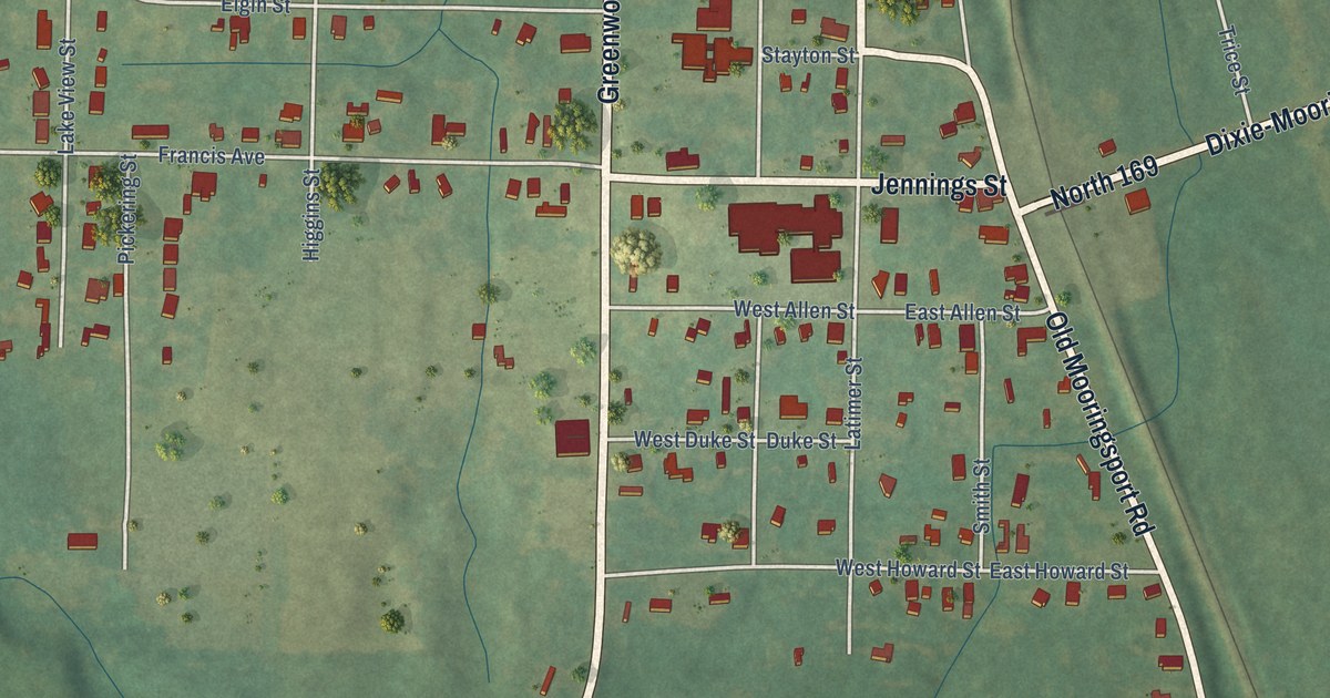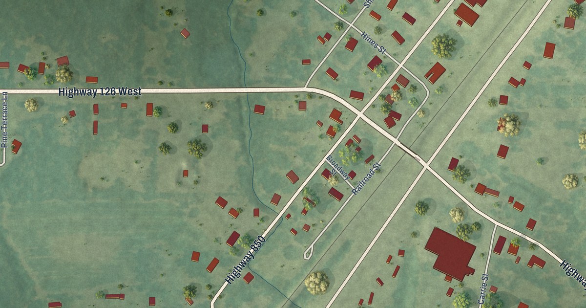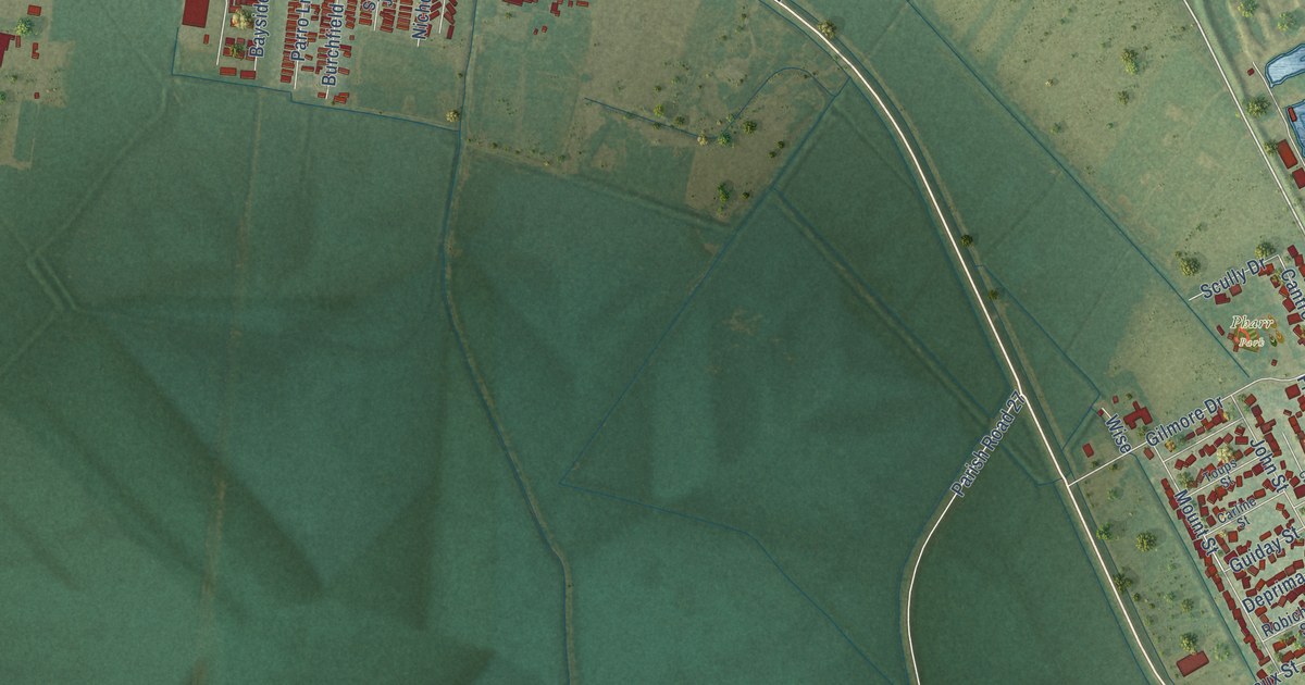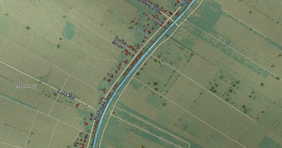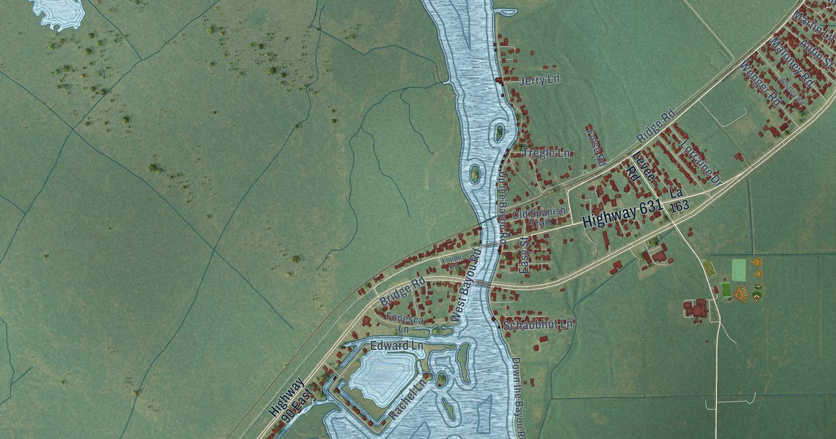
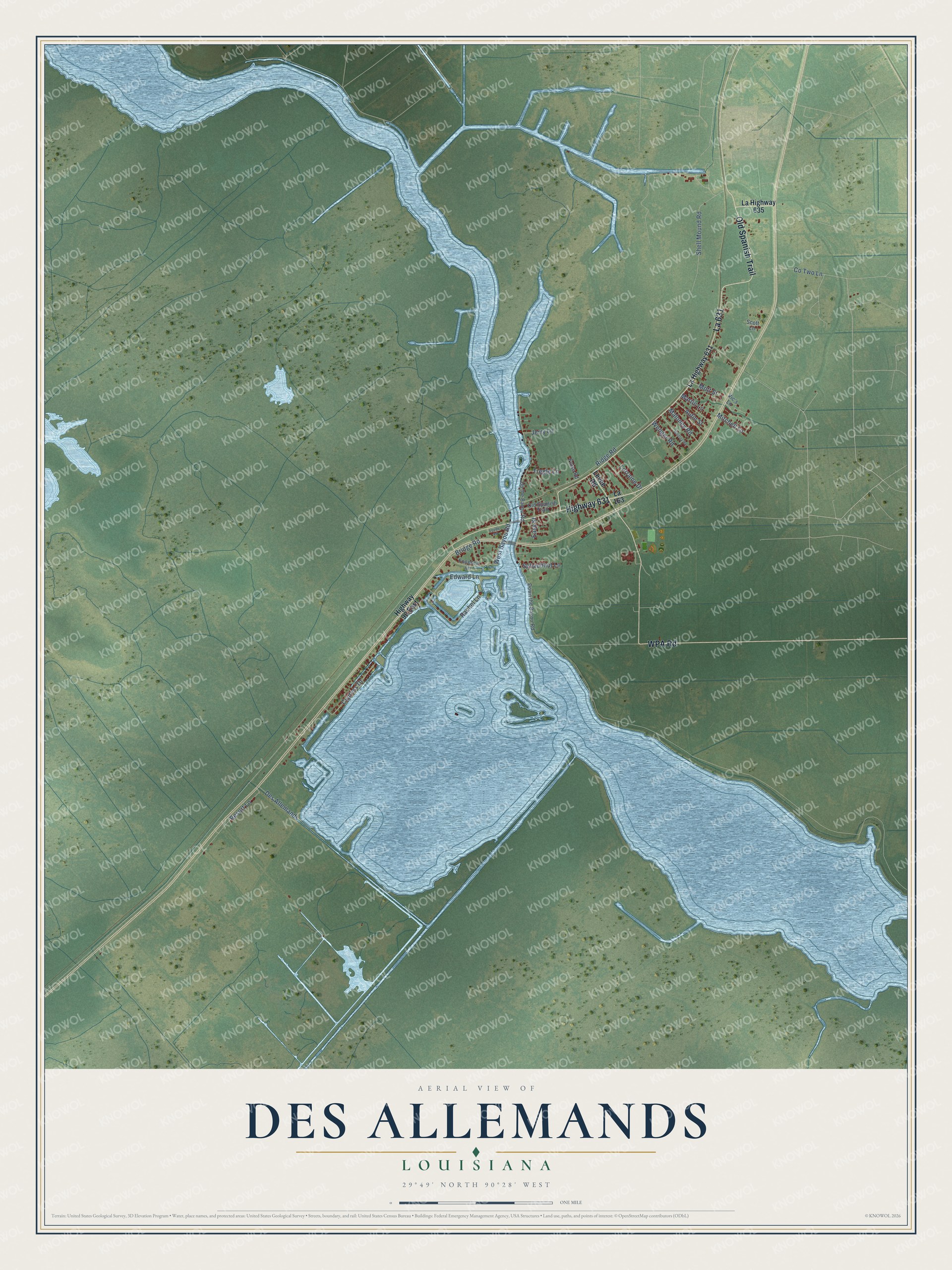
This beautifully detailed map of Des Allemands, Louisiana was created in 2026 using aerial imagery combined with modern topographical, census, street and landmark data. It's a modern aerial view of Des Allemands in St. Charles Parish, Louisiana, that combines modern data with a vintage aesthetic. The roads feature printed names, and if you look closely you can find your exact house accurately shown in its correct location.
Explore an aerial view of Des Allemands, Louisiana
On this map you'll find La 631, Old Spanish Trail, Highway 631, WPA Road, Wenger Road, Ridge Road, Resort Lane, Shell Mound Road, Des Allemands, Rachel Lane, Cypress Drive, Edward Lane, and more. Each red shape is a building, so zoom in on the preview and look for yours.
Here is a piece of Des Allemands history. The Rev. William McCallion started the Catfish Festival at St. Gertrude Catholic Church in Des Allemands in 1975 to raise money for the church and help the local economy. That year Governor Edwin Edwards proclaimed Des Allemands the Catfish Capital of the World, and in 1980 the Legislature named it the Catfish Capital of the Universe. Before the church was built in 1955, people went to Mass in a small chapel built along the bayou in 1901. That's from the St. Charles Herald-Guide.
Des Allemands is a community in St. Charles Parish. The Census Bureau counted 2,179 people here in 2020.
Take a closer look at the Des Allemands map
Names on this map
These names are printed on this map.
Streets and roads: La 631, Old Spanish Trail, Highway 631, WPA Road, Wenger Road, Ridge Road, Resort Lane, Shell Mound Road, Des Allemands, Rachel Lane, Cypress Drive, Edward Lane.
More street names, A to Z
Autin Street, Bridge Road, Co Two Lane, Down the Bayou Road, Easy Street, Folse Road, Fonesca Lane, Highway 90 East, Jerry Lane, La 163, La Highway 631, La Highway 635, Levee Road, Lorraine Drive, Loupe Road, Maloney Road, Martin Lane, Mitchell Lane, Mott Street, Schaubhut Lane, Scott Lane, Tregle Lane, Up the Bayou Road, Vic's Lane, West Bayou Road, Whitley Road.
See it on a wall
The Des Allemands map as a framed print. Swipe for more.


Created by KNOWOL in 2026. The buildings are small red shapes, the roads carry their printed names, and shaded relief shows the shape of the land. The title panel reads "AERIAL VIEW OF DES ALLEMANDS, LOUISIANA" with 29°49' NORTH 90°28' WEST.
It suits a den, a classroom or a front hall, and it makes a gift for anyone with Des Allemands roots. Open the preview and find the block you know. See sizes and frames for the Des Allemands map.