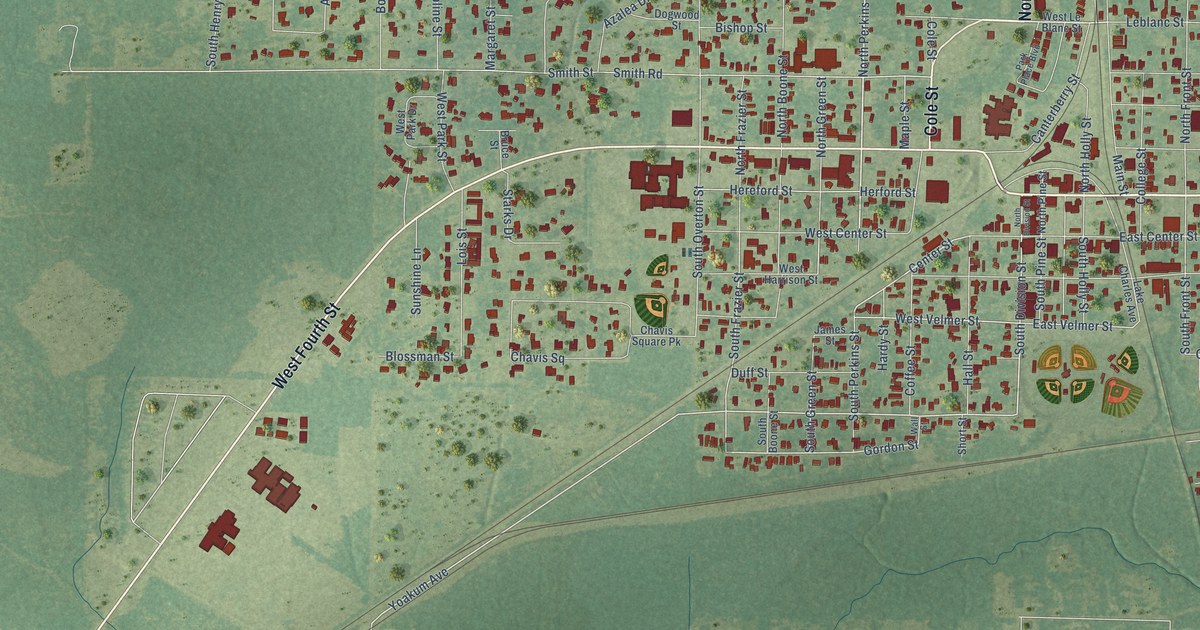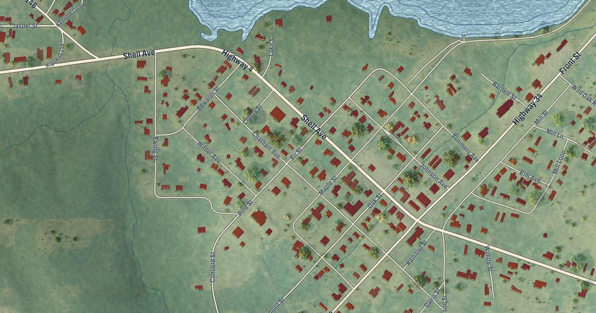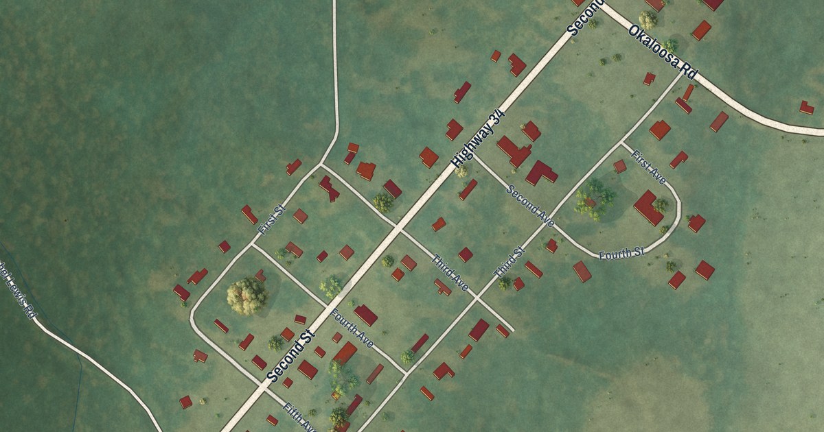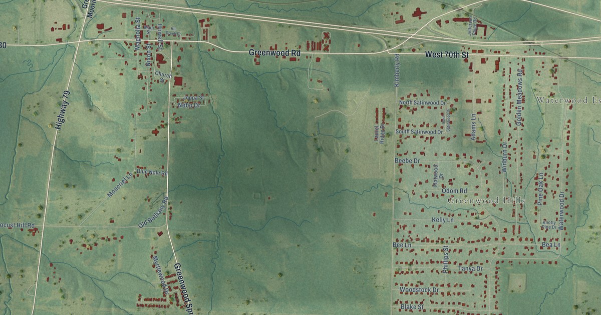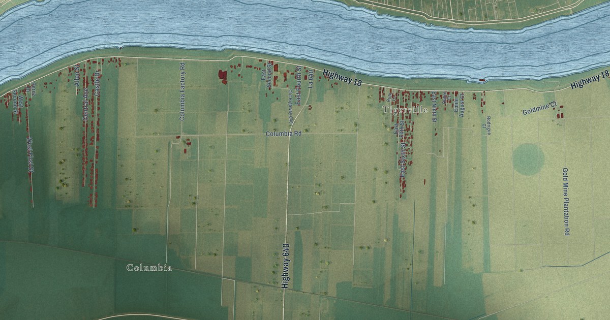
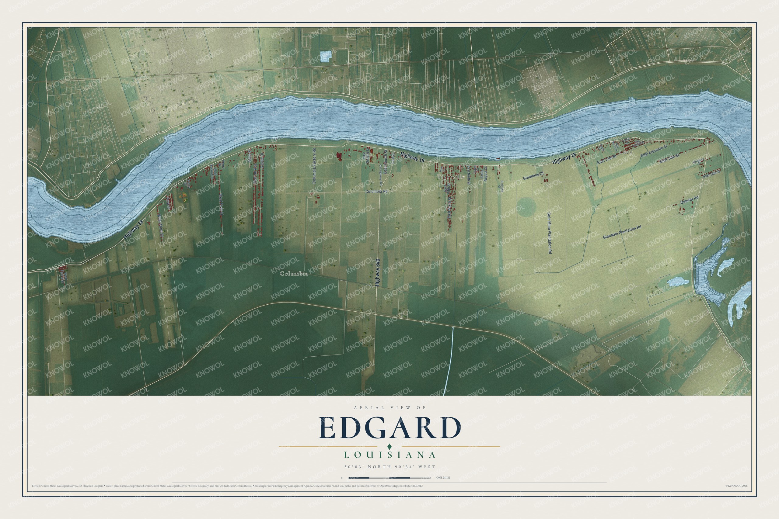
This beautifully detailed map of Edgard, Louisiana was created in 2026 using aerial imagery combined with modern topographical, census, street and landmark data. It's a modern aerial view of Edgard in St. John the Baptist Parish, Louisiana, that combines modern data with a vintage aesthetic. The roads feature printed names, and if you look closely you can find your exact house accurately shown in its correct location.
Explore an aerial view of Edgard, Louisiana
On this map you'll find Lucy, Columbia, Tigerville, Highway 18, Highway 640, Gold Mine Plantation Road, East 14th Street, Glendale Plantation Road, East Eleventh Street, Columbia Road, Castle Drive, Central Avenue, and more. Each red shape is a building, so zoom in on the preview and look for yours.
Edgard has a story worth telling. Edgard was once called St. John. It took its present name in 1850, when Edgar Perret was the postmaster. The mail still came addressed to St. John, but people spoke of Edgar's Post Office, and in time the town became Edgard. Its church of St. John the Baptist was planned in 1769, and in 1807 the whole parish took its name from that church. That's from the River Parishes newspaper L'Observateur.
Edgard is a community in St. John the Baptist Parish. The Census Bureau counted 1,948 people here in 2020.
Take a closer look at the Edgard map
Names on this map
These names are printed on this map.
Places: Lucy, Columbia and Tigerville.
Streets and roads: Highway 18, Highway 640, Gold Mine Plantation Road, East 14th Street, Glendale Plantation Road, East Eleventh Street, Columbia Road, Castle Drive, Central Avenue, West First Street, East Sixth Street, West Third Street.
More street names, A to Z
Allen Street, Amp Cr, Columbia Factory Road, East 13th Street, East 16th Street, East Fifth Street, East Fourth Street, East Ninth Street, East Second Street, East Twelfth Street, Emile August Court, Goldmine Court, La 640, Lucy Lane, Old Highway 640, Olel Barre Court, Oubre Court, Percy Court, Perez Drive, Quarter Road, Rodrigue Court, Royal Court, Ruth Lane, Sorapuru Court, West Fourth Street, West Second Street.
See it on a wall
The Edgard map as a framed print. Swipe for more.


Created by KNOWOL in 2026. The buildings are small red shapes, the roads carry their printed names, and shaded relief shows the shape of the land. The title panel reads "AERIAL VIEW OF EDGARD, LOUISIANA" with 30°03' NORTH 90°34' WEST.
It looks right in a kitchen, an office or a den, and it's a gift for anyone who grew up in Edgard or moved away. Open the preview and find your street. See sizes and frames for the Edgard map.