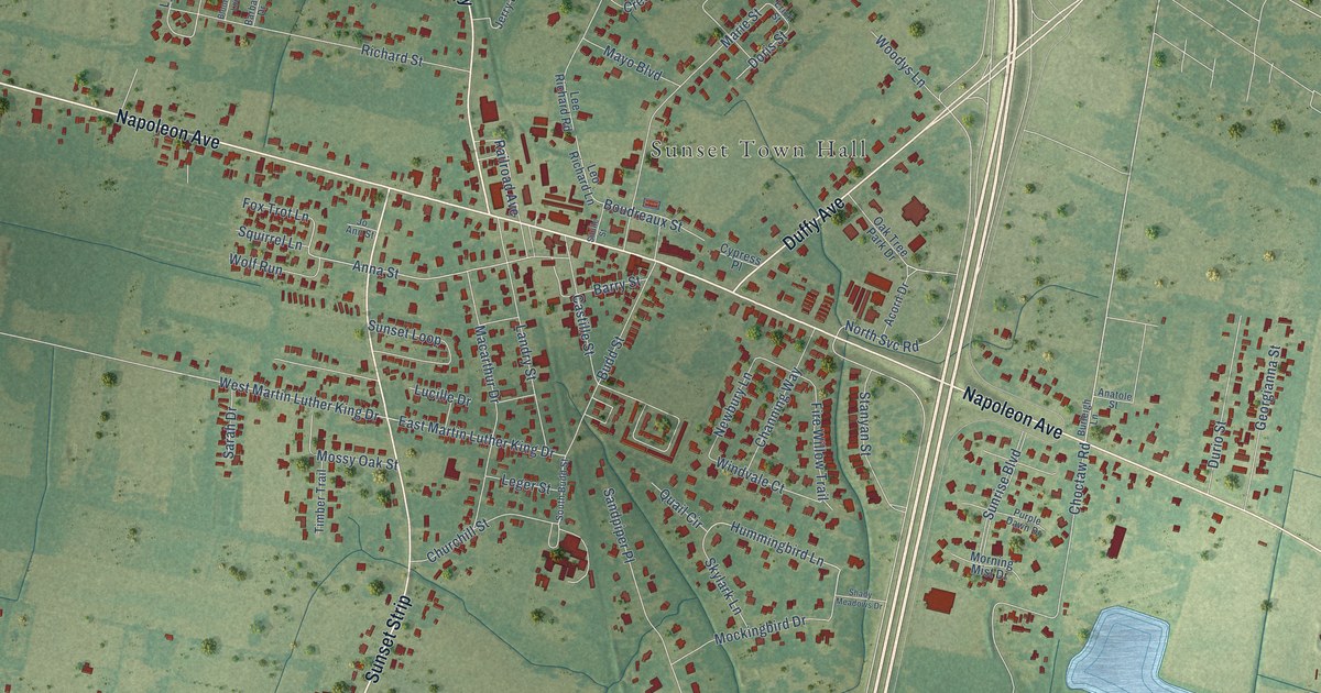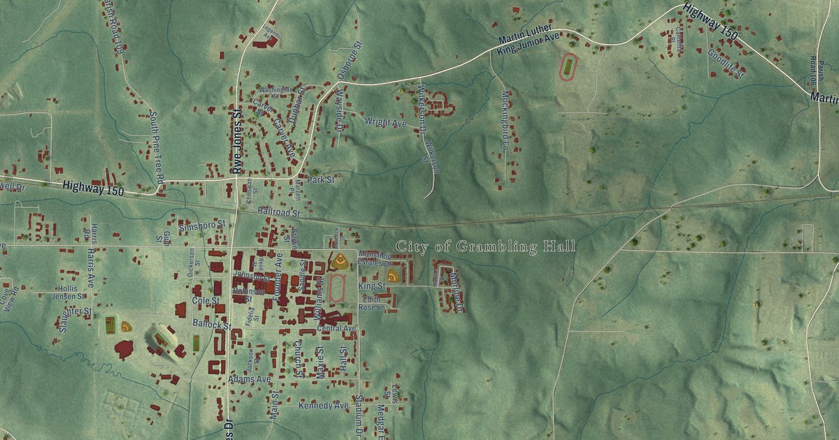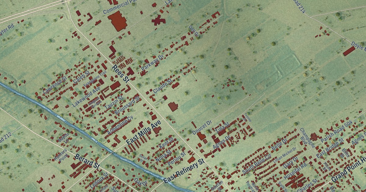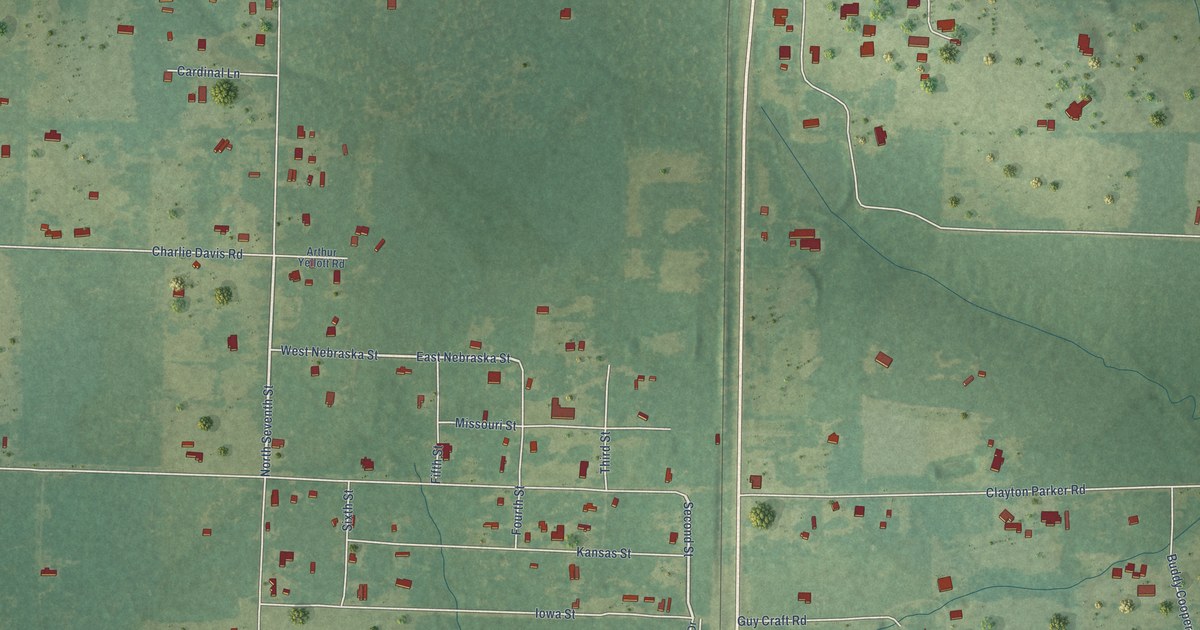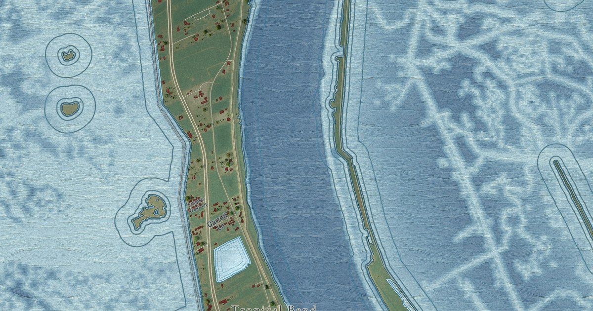
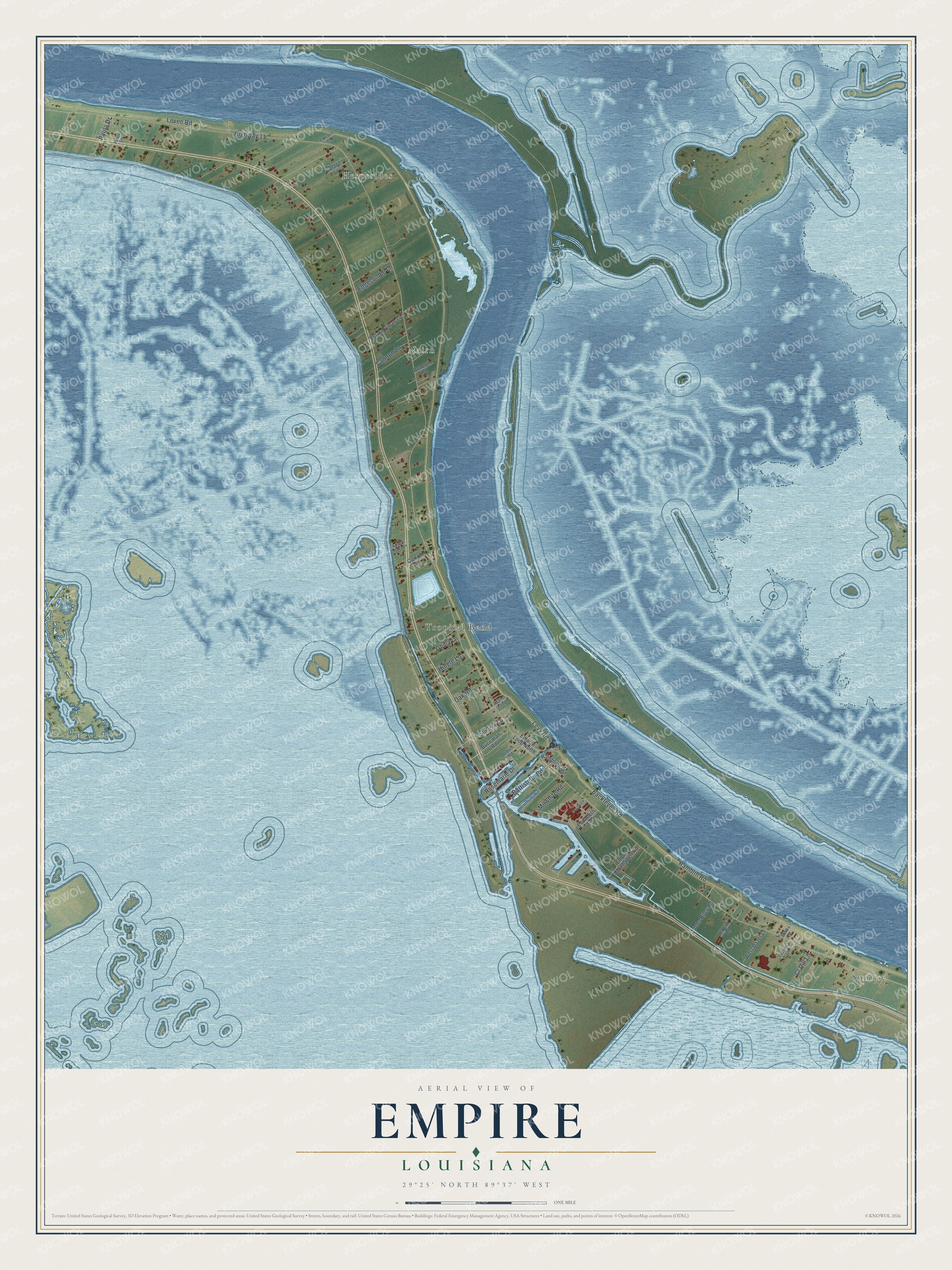
This beautifully detailed map of Empire, Louisiana was created in 2026 using aerial imagery combined with modern topographical, census, street and landmark data. It's a modern aerial view of Empire in Plaquemines Parish, Louisiana, that combines modern data with a vintage aesthetic. The roads feature printed names, and if you look closely you can find your exact house accurately shown in its correct location.
Explore an aerial view of Empire, Louisiana
On this map you'll find Sunrise, Hesperides, Nairn, Tropical Bend, Levee Road, Levy Road, Highway 11, Backlevee Road, Battistella Road, Rosemarie Drive, Ramblin Road, Edgecombe Lane, and more. Each red shape is a building, so zoom in on the preview and look for yours.
Empire has a story worth telling. Empire may have taken its name from more than one source. Plaquemines Parish was often called the Empire Parish for the prosperous age that followed the granulation of sugar, two steamboats on this stretch of the river were named Empire, and the Empire Canal was dug here around 1885. The Empire post office opened in July 1878, with John Pignido as postmaster. That's from the Louisiana State University Press.
Empire is a community in Plaquemines Parish. The Census Bureau counted 905 people here in 2020.
Take a closer look at the Empire map
Names on this map
These names are printed on this map.
Places: Sunrise, Hesperides, Nairn and Tropical Bend.
Streets and roads: Levee Road, Levy Road, Highway 11, Backlevee Road, Battistella Road, Rosemarie Drive, Ramblin Road, Edgecombe Lane, Cannon Lane, Cl Dill Lane, Milwhite Road, Oak Road.
More street names, A to Z
Adams Loop, Alberti Lane, Banks Street, Bouzon Road, Buccaran Road, Carroll Lane, Castoe Lane, Daybrook, Debbie Road, Elizabeth Lane, Empire Loop North, Empire Menhaden Road, Empire Oaks Lane, Galmiche Lane, Hingle Lane, John Riley Road, Lincoln Drive, Lucretia Lane, Olivia Lane, Paula Drive, Pauls Lane, Pelas Hyman Lane, Rambling Road, West Dazet Lane.
See it on a wall
The Empire map as a framed print. Swipe for more.


Created by KNOWOL in 2026. The buildings are small red shapes, the roads carry their printed names, and shaded relief shows the shape of the land. The title panel reads "AERIAL VIEW OF EMPIRE, LOUISIANA" with 29°25' NORTH 89°37' WEST.
It looks right in a kitchen, an office or a den, and it's a gift for anyone who grew up in Empire or moved away. Open the preview and find your street. See sizes and frames for the Empire map.