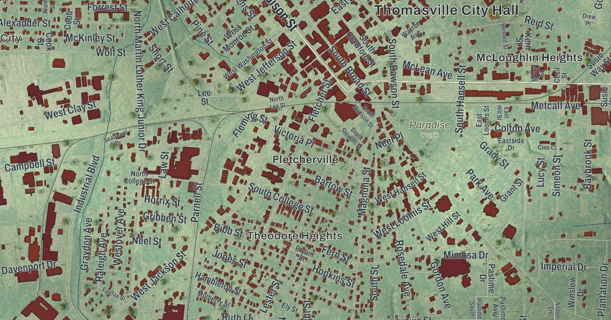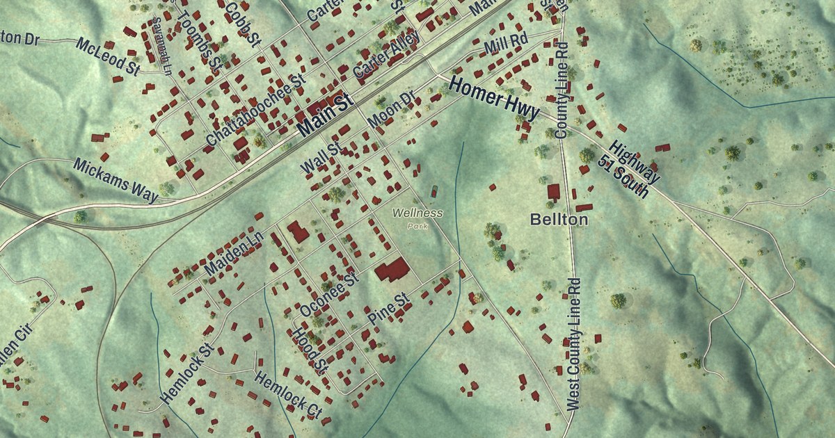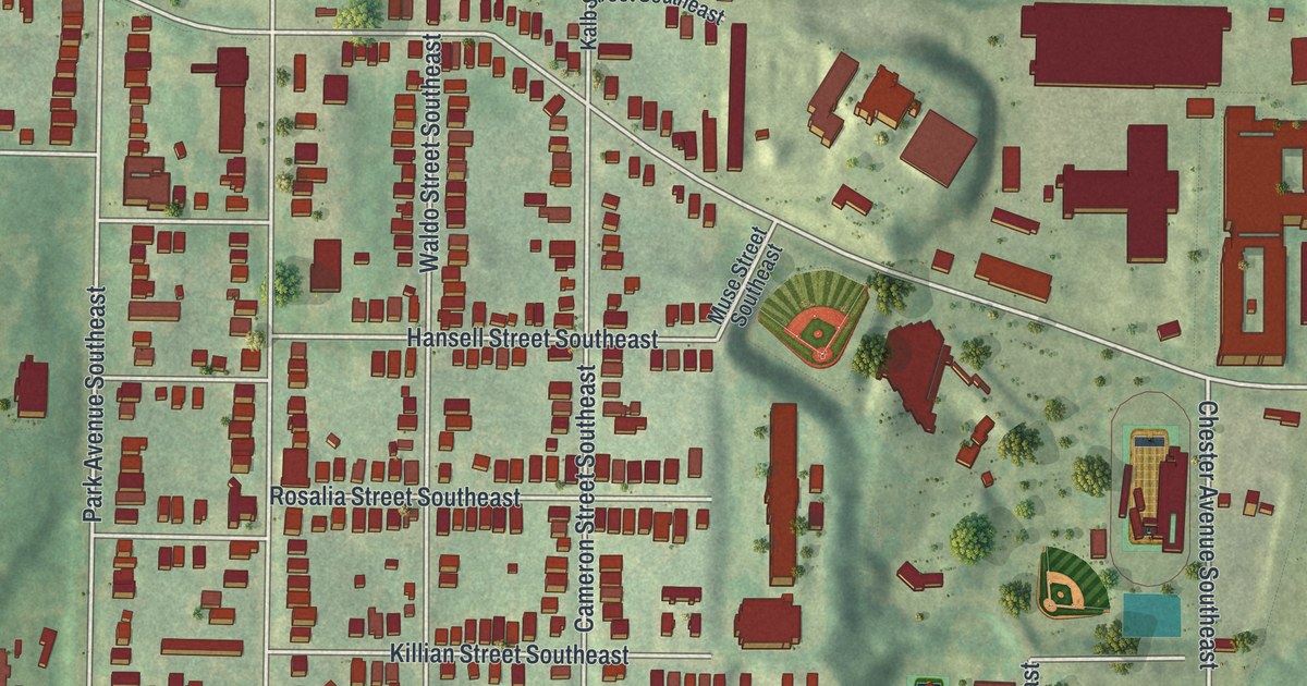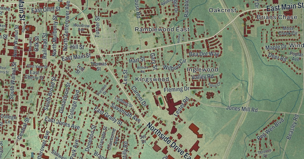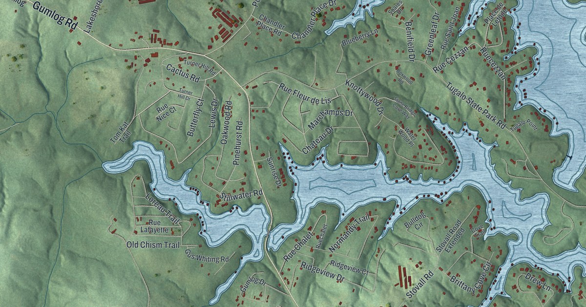
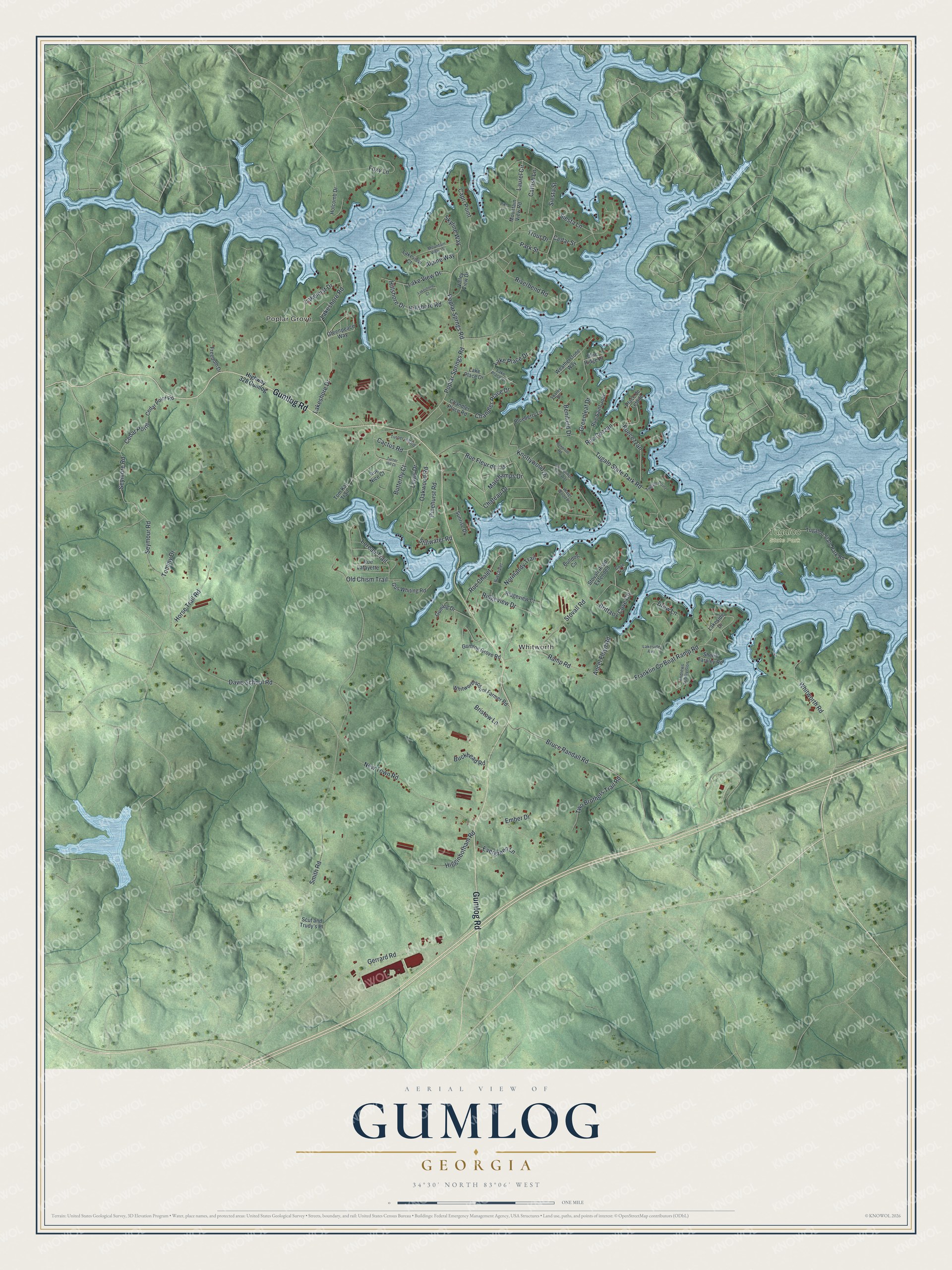
This beautifully detailed map of Gumlog, Georgia was created in 2026 using aerial imagery combined with modern topographical, census, street and landmark data. It's a modern aerial view of Gumlog in Franklin County, Georgia, that combines modern data with a vintage aesthetic. The roads feature printed names, and if you look closely you can find your exact house accurately shown in its correct location.
Explore an aerial view of Gumlog, Georgia
On this map you'll find Poplar Grove, Whitworth, Tugaloo State Park, Gumlog Road, Lewis Drive, Cactus Road, Seymour Road, Stillwater Road, Hillshore Drive, Bruce Randall Road, Rue Fleur de Lis, Smith Road, and more. Each red shape is a building, so zoom in on the preview and look for yours.
Here is a piece of Gumlog history. Tugaloo State Park sits on a wooded peninsula with views of 55,590-acre Lake Hartwell in every direction. The name Tugaloo comes from an Indian name for the river, which flowed freely until Hartwell Dam was built. That's from the Georgia State Parks.
Gumlog is a community in Franklin County. The Census Bureau counted 2,358 people here in 2020.
Take a closer look at the Gumlog map
Names on this map
These names are printed on this map.
Places: Poplar Grove, Whitworth and Tugaloo State Park.
Streets and roads: Gumlog Road, Lewis Drive, Cactus Road, Seymour Road, Stillwater Road, Hillshore Drive, Bruce Randall Road, Rue Fleur de Lis, Smith Road, Tugalo State Park Road, Poplar Springs Road, Poplar Sprngs Road.
More street names, A to Z
Alpine Way, Ancel Floyd Road, Andrews Subdivision, Benifield Drive, Blueberry Lane, Blue Ridge Place, Boxwood Road, Bristow Lane, Brittany Cove Circle, Buckhead Road, Bulldog Circle, Butterfly Court, Capri Point, Catfish Lane, Cedar Point, Cedar Point Road, Cedar Street, Chandler Place Drive, Chandler Place Road, Chateau Drive, Cove Trail, Davis School Road, Drew Lane, Ember Drive, Evergreen Lane, Foxy Lane, Franklin Co Boat Ramp Road, Freedom Drive, Gerrard Road, Greenleaf Drive, Greenpeace Way, Gumlog Drive, Gumlog Grove Road, Gus Whiting Road, Higginbotham Road, Highway 328 Gumlog, Hillshore Road, Holcomb Drive, Horse Trail Road, Knottywood Drive, Lakemist Drive, Lake Place Court, Lake Place Drive, Lakeshore Court, Lakeshore Drive, Lakeshore Road, Lakeside Avenue, Lakeside Drive, Lakeview Court, Lake View Drive, Laurel Circle, Loreau Trail, Marchamps Drive, Mountain View Drive, Mountain View Road, New Town Road, Normandy Trail, Oakwood Road, Old Chism Trail, Park Street, Pike Lane, Pinehurst Road, Place de Letoile, Ramp Road, Ridgeview Court, Ridgeview Drive, Riverbend Road, Rue Cezzan, Ruecezzan, Rue Chalet, Ruechalet, Rue Lafayette, Rue Nice Court, Rue Saint Joan, Scut and Trudy's Place, Seymore Road, Sheriff Tarpley Road, Siesta Lane, Siesta Street, Skyline Way, Soares Drive, Stone Bridge Cove Way, Stovall Road, Stovall Road Extended, Sunrise Drive, Tom Kat Trail, Tommy Drive, Trout Drive, Tugaloo State Park Road, Tugalo Point, Turner Hill Drive, Turner Hill Road, Two Brothers Trail Road, Valley View Drive, Water Wood Place, Weatherstone Way, Whitworth Road, Whitworthschool Farmer Road.
See it on a wall
The Gumlog map as a framed print. Swipe for more.


Created by KNOWOL in 2026. The buildings are small red shapes, the roads carry their printed names, and shaded relief shows the shape of the land. The title panel reads "AERIAL VIEW OF GUMLOG, GEORGIA" with 34°30' NORTH 83°06' WEST.
It suits a den, a classroom or a front hall, and it makes a gift for anyone with Gumlog roots. Open the preview and find the block you know. See sizes and frames for the Gumlog map.