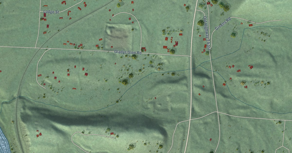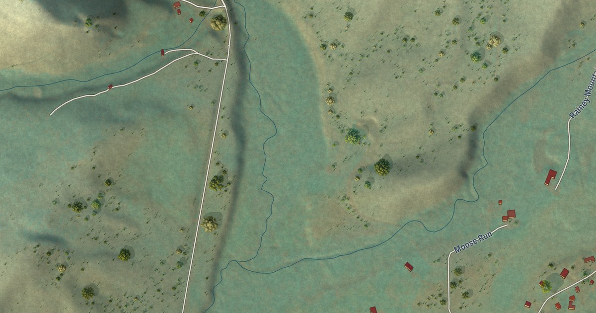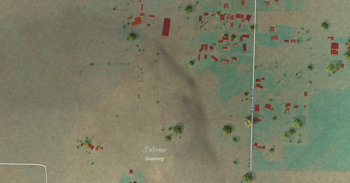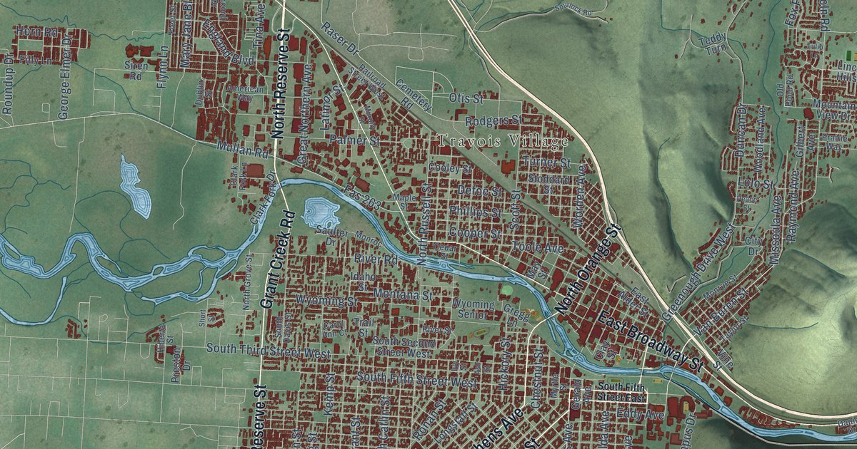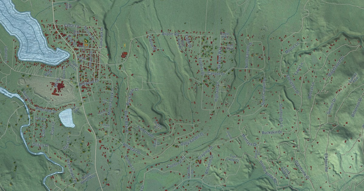
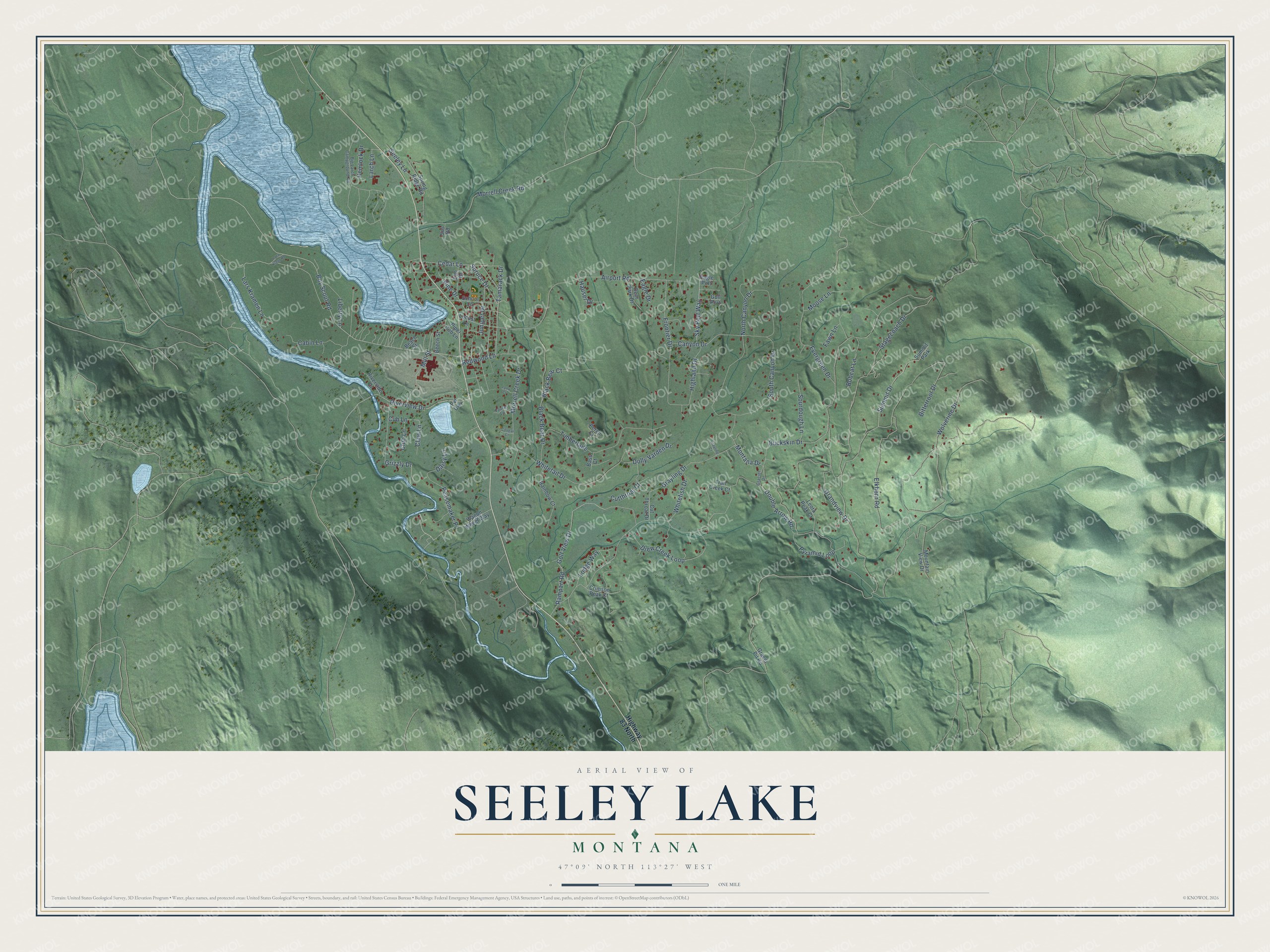
This beautifully detailed map of Seeley Lake, Montana was created in 2026 using aerial imagery combined with modern topographical, census, street and landmark data. It’s a one-of-a-kind view of Seeley Lake that combines accurate data with a vintage aesthetic. The map shows every building in its true location, many of the roads carry their names, and the shaded topographic relief shows the shape of the land.
Explore an aerial view of Seeley Lake, Montana
On the map you’ll find Peacemaker Place, along with Lars Kramen Lane, Tamarack Drive, Double Arrow Road, Elkhorn Road, Bitterroot Drive, Grandview Drive, Boy Scout Road, Stagecoach Drive, Airport Road, South Canyon Drive, Whitetail Drive, and more. If you look closely you can even find your house accurately drawn in its correct location. Zoom in on the preview to look for yours.
Did You Know?
Seeley Lake is named for Jasper B. Seely, a timber cruiser for the Hammond Lumber Company who built a cabin on what was called Clearwater Lake in 1881, and early surveyors added the extra e. Seely served as the area's first ranger in 1899 and 1900, on the Lewis and Clark Forest Reserve. After the Big Blackfoot Milling Company bought Seely's land in 1906, it moved logs from Seeley Lake down the Clearwater and Blackfoot rivers to its mill at Bonner. That's from the Montana Historical Society.
Take a closer look at the Seeley Lake map
Names on this map
These names are printed on this map.
Places: Summit Park.
Streets and roads: Lars Kramen Lane, Tamarack Drive, Peacemaker Place, Double Arrow Road, Elkhorn Road, Bitterroot Drive, Grandview Drive, Boy Scout Road, Stagecoach Drive, Airport Road, South Canyon Drive, Whitetail Drive.
More street names, A to Z
Bass Court, Beach Street, Beech Street, Big Larch Campground Road, Black Bear Court, Black Bear Drive, Bobcat Lane, Buckskin Drive, Cabin Lane, Canyon Drive, Cedar Lane, Claw Lane, Club Lane, Cougar Court, Crimson Peak Court, Cub Lane, Cutthroat Court, Cut Throat Drive, Daisy Lane, Deer Park Drive, Dolly Varden Drive, Drew Creek Loop, Eagle Drive, Eagle Port, Elm Drive, Evergreen Drive, Fawn Lane, Frontier Drive, Glacier Drive, Golf View Drive, Gravel Pit Road, Grayling Court, Grayling Drive, Grizzly Drive, Gull Port, Hauser Drive, Hemlock Drive, Highland Drive, Highway 83 North, Juniper Drive, Lara Kreur Road, Larch Lane, Laurel Lane, Leota Peak Court, Liberty Lane, Locust Lane, Lodge Way, Lynx Court, Mill Street, Montana Drive, Moose Lane, Morrell Creek Drive, Morrell Creek Road, Mountain View Drive, North Canyon Drive, Perch Court, Pine Drive, Piper Cub Lane, Pvt Dwy, Pyramid Loop, Rainbow Court, Rampart Road, Redwood Lane, Riverside Drive, Riverview Drive, School Lane, Seeley Lane, Sky Port Way, Sos Road, Sourdough Lane, Spring Ridge Road, Spruce Drive, Summit Drive, Timberlane, Trail Creek Court, Wagon Wheel Way, Whitefish Drive, Wolverine Drive.
See it on a wall
The Seeley Lake map as a framed print. Swipe for more.


This beautifully detailed map of Seeley Lake makes an attractive addition to your office, library, or den, and it can even be used to teach children the geography and history of the area. It also makes a great gift for anyone who grew up in Seeley Lake or moved away. When you’re done exploring, click here to get your copy of the Seeley Lake map.