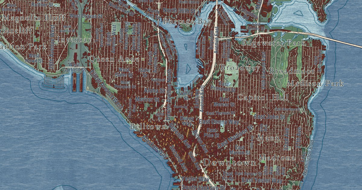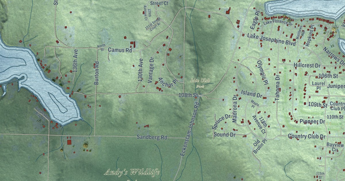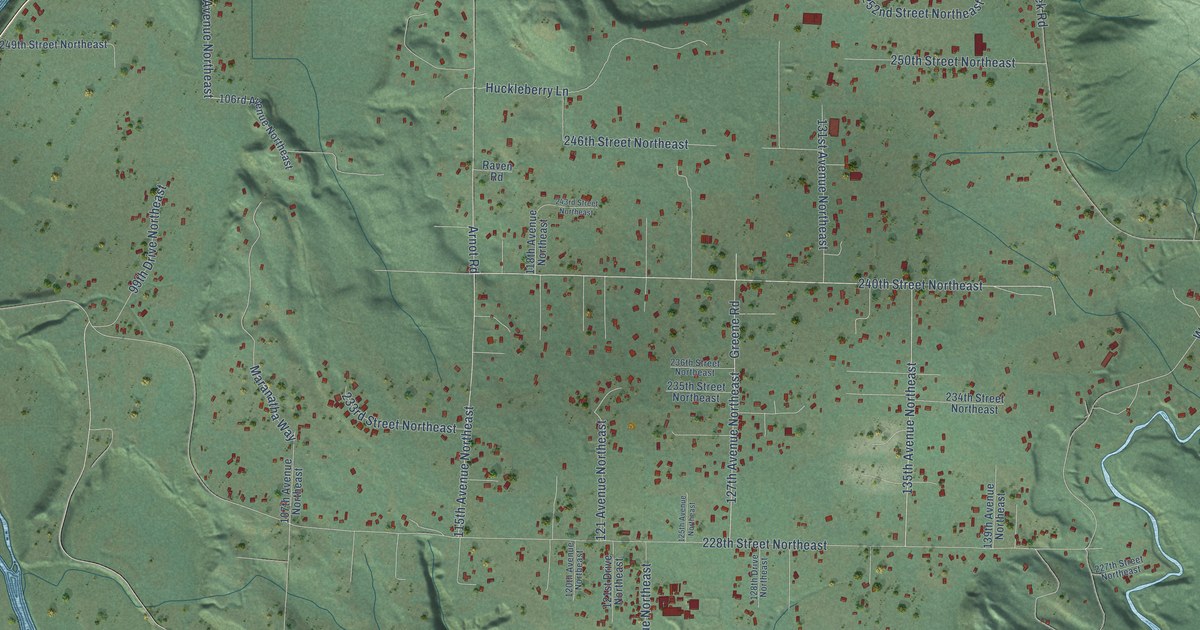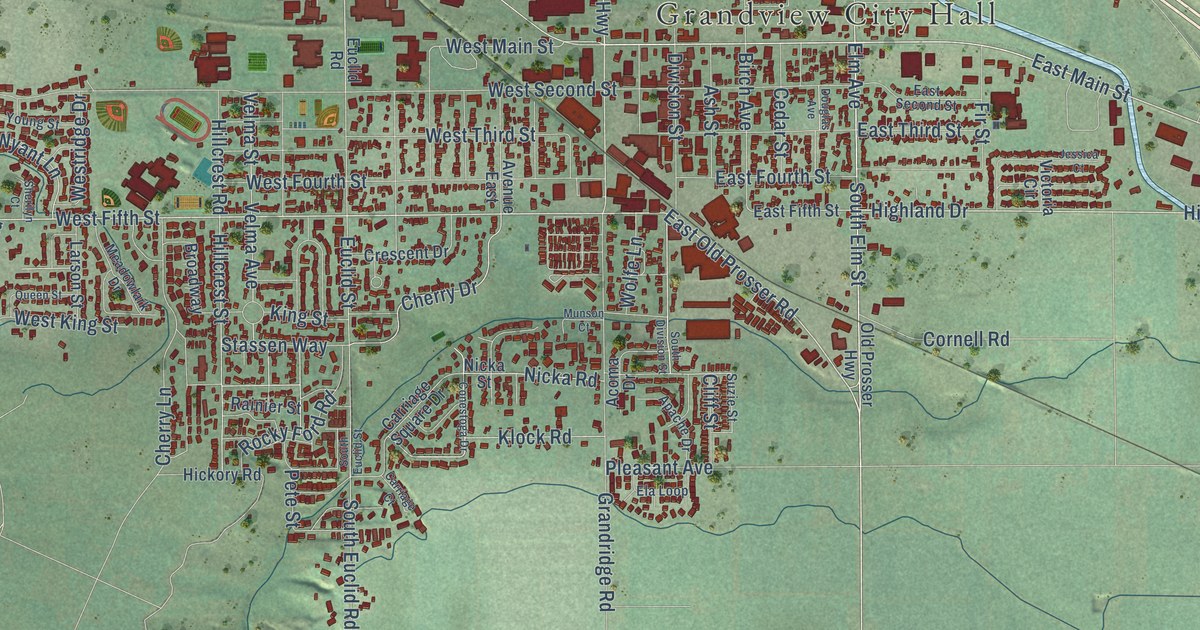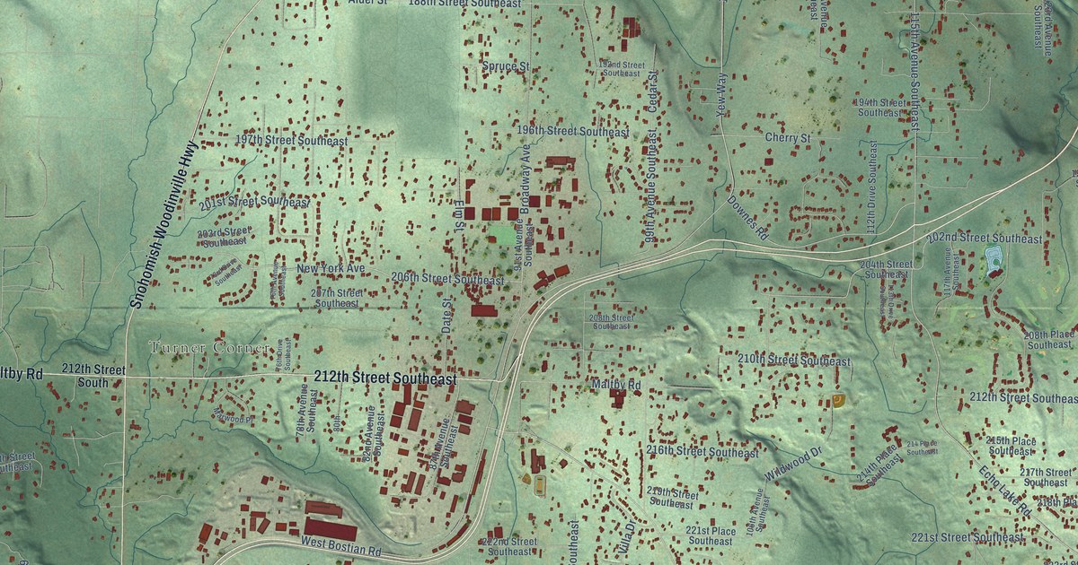
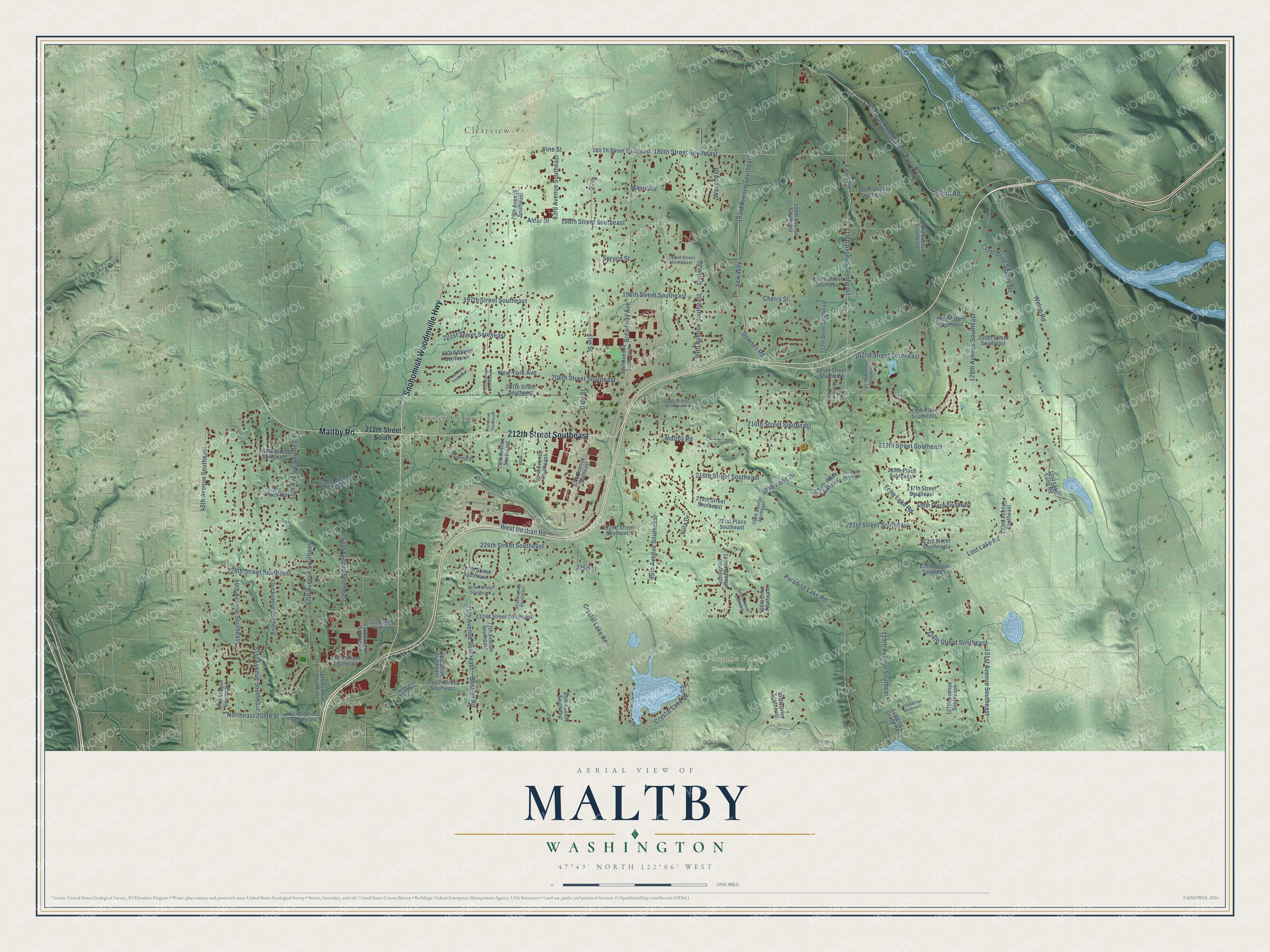
This beautifully detailed map of Maltby, Washington was created in 2026 using aerial imagery combined with modern topographical, census, street and landmark data. It's a modern aerial view of Maltby in Snohomish County, Washington, that combines modern data with a vintage aesthetic. The roads feature printed names, and if you look closely you can find your exact house accurately shown in its correct location.
Explore an aerial view of Maltby, Washington
On this map you'll find Grace, Turner Corner, Clearview, Paradise Valley Conservation Area, Snohomish Woodinville Highway, Maltby Road, 212th Street Southeast, Paradise Lake Road, Yew Way, Elliott Road, 206th Street Southeast, Welch Road, and more. Each red shape is a building, so zoom in on the preview and look for yours.
Maltby has a story worth telling. Maltby was named for Robert Maltby, a real estate dealer. A homesteader named Dunlap took up the site in 1887, and the next year a post office opened there under the name Yew, which was later changed to Maltby. That's from the Washington Historical Quarterly.
Maltby is a community in Snohomish County. The Census Bureau counted 11,277 people here in 2020.
Take a closer look at the Maltby map
Names on this map
These names are printed on this map.
Places: Grace, Turner Corner, Clearview and Paradise Valley Conservation Area.
Streets and roads: Snohomish Woodinville Highway, Maltby Road, 212th Street Southeast, Paradise Lake Road, Yew Way, Elliott Road, 206th Street Southeast, Welch Road, Echo Lake Road, 115th Avenue Southeast, 103rd Avenue Southeast, Downes Road.
More street names, A to Z
45th Avenue Southeast, 47th Avenue Southeast, 49th Avenue Southeast, 51st Avenue Southeast, 53rd Avenue Southeast, 55th Avenue Southeast, 57th Avenue Southeast, 58th Avenue Southeast, 61st Avenue Southeast, 63rd Avenue Southeast, 71st Drive Southeast, 73rd Drive Southeast, 75th Avenue Southeast, 76th Avenue Southeast, 76th Drive Southeast, 77th Avenue Southeast, 78th Avenue Southeast, 79th Avenue Southeast, 80th, 81st Avenue Southeast, 82nd Avenue Southeast, 83rd Avenue Southeast, 85th Avenue Southeast, 87th, 87th Avenue Southeast, 91st Avenue Southeast, 95th Avenue Southeast, 99th Avenue Southeast, 102nd Avenue Southeast, 104th Avenue Southeast, 106th Avenue Southeast, 106th Drive Southeast, 107th Drive Southeast, 109th Avenue Southeast, 112th Drive Southeast, 113th Drive Southeast, 117th Avenue Southeast, 119th Avenue Southeast, 123rd Avenue Southeast, 127th Avenue Southeast, 129th Avenue Southeast, 131st Avenue Southeast, 131st Drive Southeast, 133rd Avenue Southeast, 180 Th Street Southeast, 180th Street Southeast, 184th Street Southeast, 188th Street Southeast, 192nd Street Southeast, 194th Street Southeast, 196th Street Southeast, 197th Street Southeast, 198th Street Southeast, 200th Street Southeast, 201st Street Southeast, 202nd Street Southeast, 203rd Street Southeast, 204th Street Southeast, 207th Street Southeast, 208th Place Southeast, 208th Street Southeast, 210th Street Southeast, 212th Street South, 214 Place Southeast, 214th Place Southeast, 215th Place Southeast, 215th Street Southeast, 216th Street Southeast, 217th Street Southeast, 218th Place Southeast, 218th Street Southeast, 219th Street Southeast, 221st Place Southeast, 221st Street Southeast, 222nd Street Southeast, 223rd Street Southeast, 224th Street Southeast, 226th Street, 226th Street Southeast, 227th Street Southeast, 228th Street Southeast, 229th Street Southeast, 232nd Street Southeast, 233rd Place Southeast, 234th Street Southeast, 238th Street Southeast, 240th Street Southeast, 242nd Street Southeast, 244th Street Southeast, Alder Street, Big Rock Road, Bostian Road, Broadway Avenue, Cathcart-Snoqualmie River Road, Cedar Street, Cherry Street, Crystal Lake Drive, Crystal Lake Road, Date Street, Elm Street, Fales Road, Logging Grade Road, Lost Lake Loop Road, Lost Lake Road, Maple Road, Marwood Place, New York Avenue, Northeast 205th Street, Spruce Street, Villa Drive, Vine Street, Waverly Drive, Wellington Heights Road, West Bostian Road, Wildwood Drive.
See it on a wall
The Maltby map as a framed print. Swipe for more.


Created by KNOWOL in 2026. The buildings are small red shapes, the roads carry their printed names, and shaded relief shows the shape of the land. The title panel reads "AERIAL VIEW OF MALTBY, WASHINGTON" with 47°49' NORTH 122°06' WEST.
It looks right in a kitchen, an office or a den, and it's a gift for anyone who grew up in Maltby or moved away. Open the preview and find your street. See sizes and frames for the Maltby map.