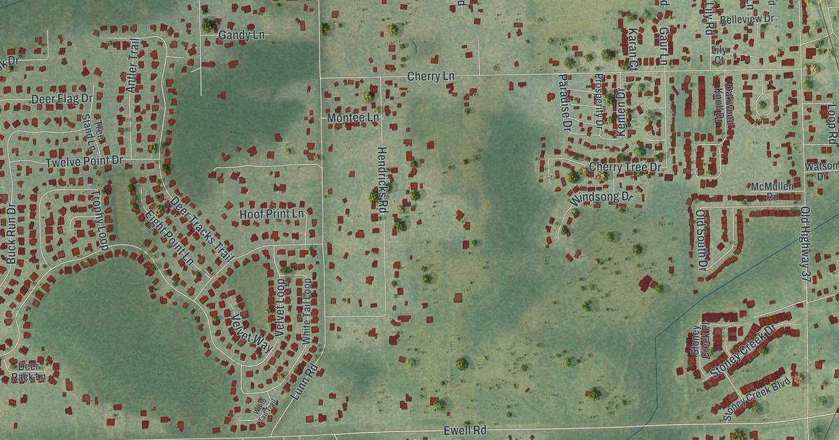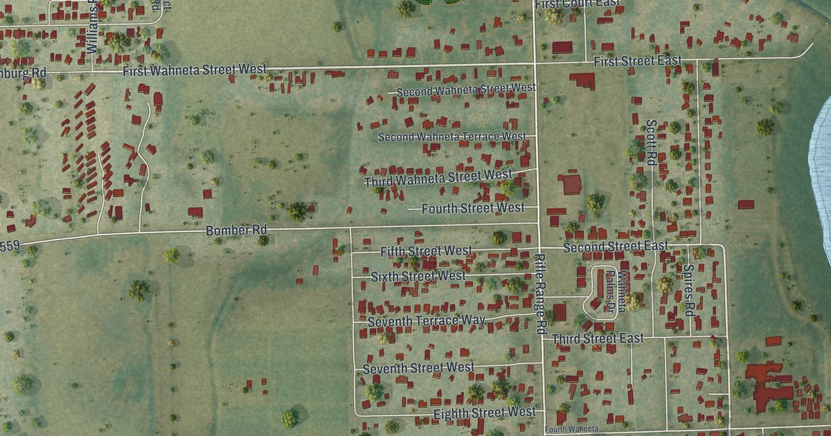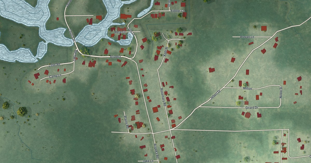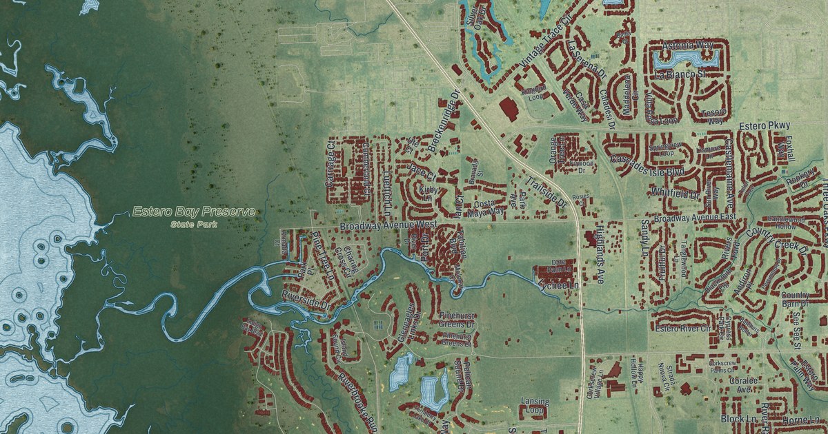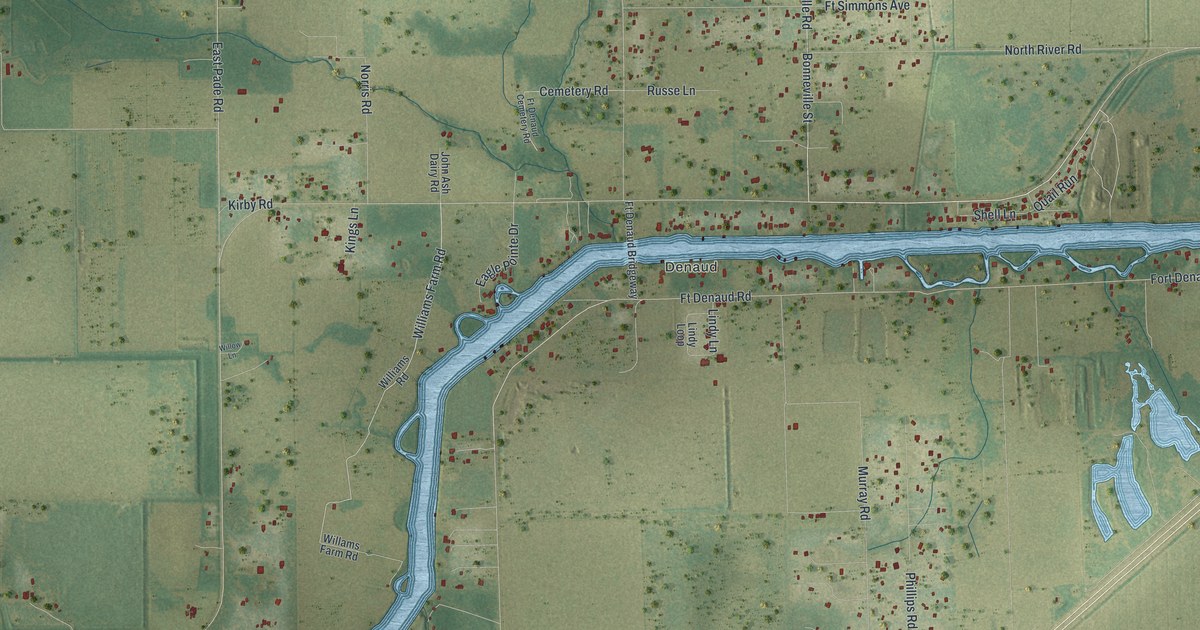
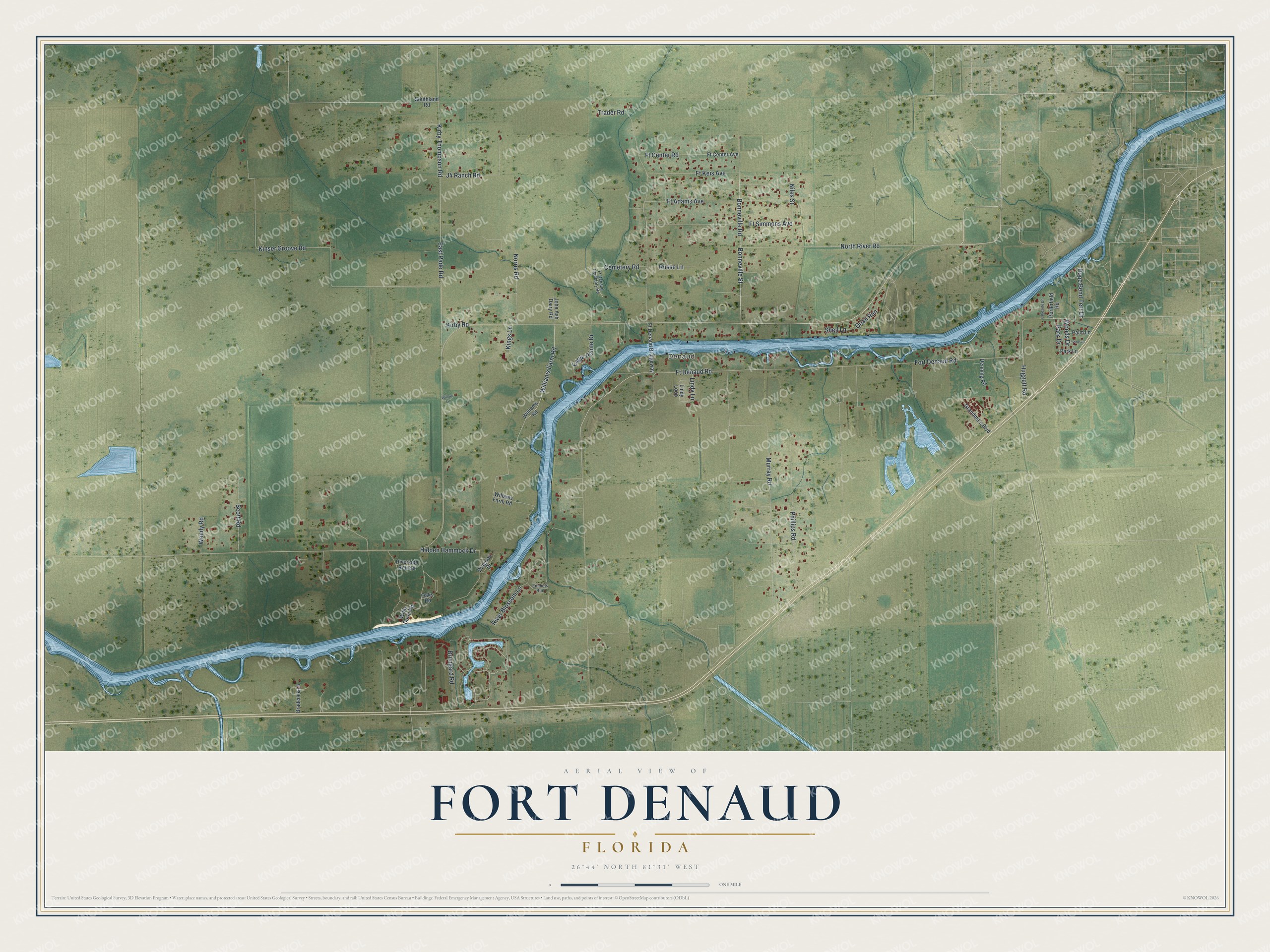
This beautifully detailed map of Fort Denaud, Florida was created in 2026 using aerial imagery combined with modern topographical, census, street and landmark data. It's a modern aerial view of Fort Denaud in Hendry County, Florida, that combines modern data with a vintage aesthetic. The roads feature printed names, and if you look closely you can find your exact house accurately shown in its correct location.
Explore an aerial view of Fort Denaud, Florida
On this map you'll find Denaud, North River Road, Bonneville Street, Williams Farm Road, Ft Center Road, Fort Denaud Road, Ft Denaud Road, Trader Road, Kinser Groove Road, Murray Road, Kirby Thompson Road, East Pade Road, and more. Each red shape is a building, so zoom in on the preview and look for yours.
Every town has a first chapter, and Fort Denaud is no exception. Fort Denaud is named for Pierre Denaud, a French Canadian who traded here with Native people for skins and hides before soldiers came during the Seminole wars. The fort's stockade guarded a crossing of the Caloosahatchee River on the military road between Fort Meade and Fort Myers. That's from the book Florida Place Names by Allen Morris.
Fort Denaud is a community in Hendry County. The Census Bureau counted 2,049 people here in 2020.
Take a closer look at the Fort Denaud map
Names on this map
These names are printed on this map.
Places: Denaud.
Streets and roads: North River Road, Bonneville Street, Williams Farm Road, Ft Center Road, Fort Denaud Road, Ft Denaud Road, Trader Road, Kinser Groove Road, Murray Road, Kirby Thompson Road, East Pade Road, River Blossom Lane.
More street names, A to Z
Bonneville Road, Bradcock Lane, Brungard Road, Cemetery Road, Denning Road, Dragoon Drive, Eagle Pointe Drive, Emmets Run, Ft Adams Avenue, Ft Center Avenue, Ft Denaud Bridgeway, Ft Denaud Cemetery Road, Ft Keis Avenue, Ft Simmons Avenue, Grandma's Boulevard, Hidden Hammock Drive, Huggett Road, J4 Ranch Road, John Ash Dairy Road, Kings Lane, Kirby Road, Lakeside Drive, Lindy Lane, Lindy Loop, Niles Street, Norris Road, Oaks Road, Palm Lane, Park Drive, Park Lane, Phillips Road, Pine Lane, Porterfield Road, Quail Run, Riverside Retreat, Rope Bend Terr Drive, Russe Lane, Scott Road, Shell Lane, Southland Road, Wendy Road, Willams Farm Road, Williams Road, Willis Dorm Road, Willow Lane, Woods Drive.
See it on a wall
The Fort Denaud map as a framed print. Swipe for more.


Created by KNOWOL in 2026. The buildings are small red shapes, the roads carry their printed names, and shaded relief shows the shape of the land. The title panel reads "AERIAL VIEW OF FORT DENAUD, FLORIDA" with 26°44' NORTH 81°31' WEST.
Hang it in the hallway, the office or the cabin, or give it to someone who left Fort Denaud and still calls it home. Open the preview and look for a street you know. See sizes and frames for the Fort Denaud map.