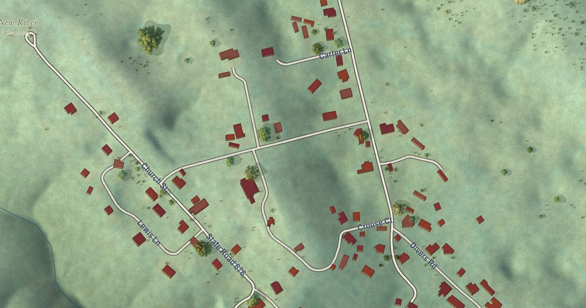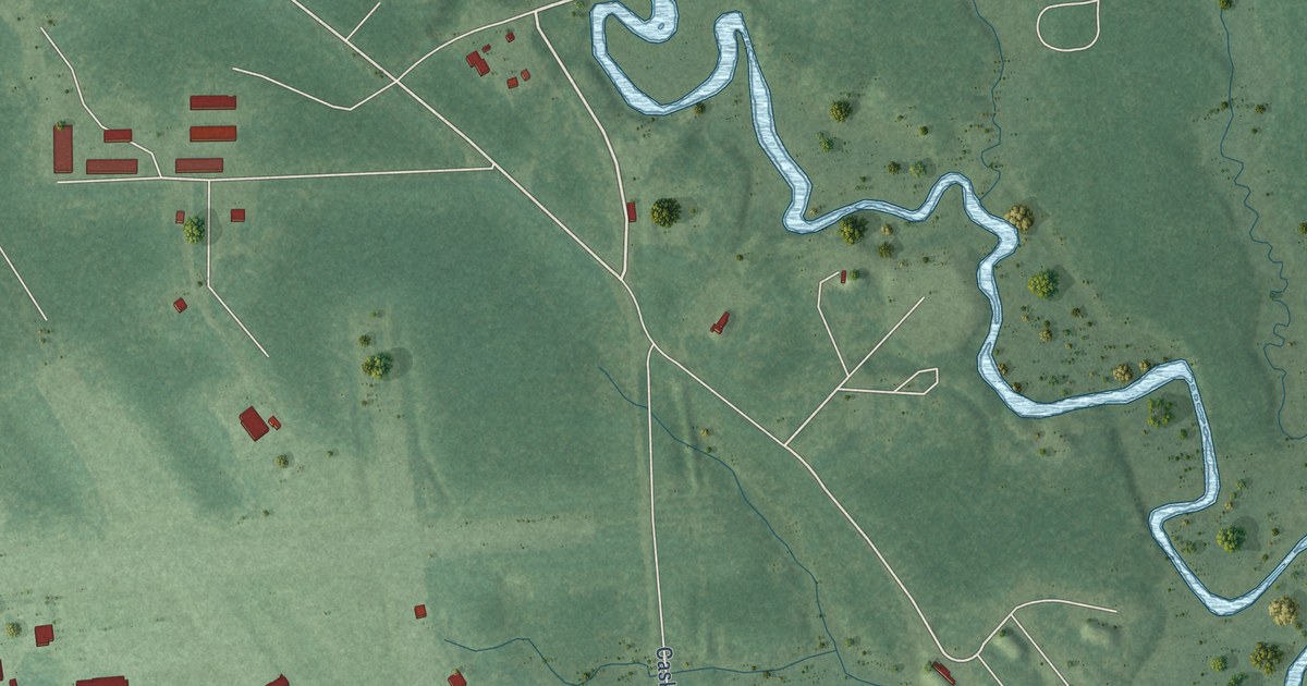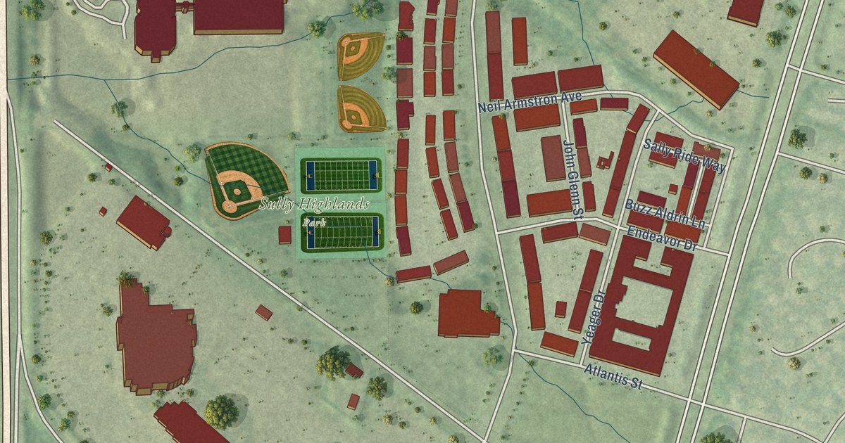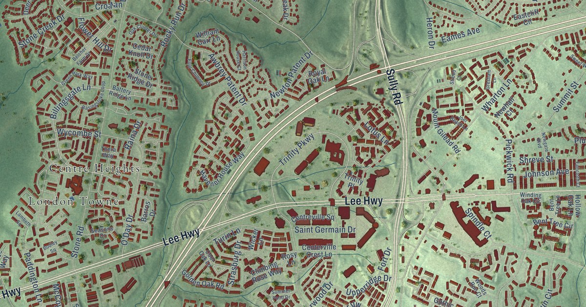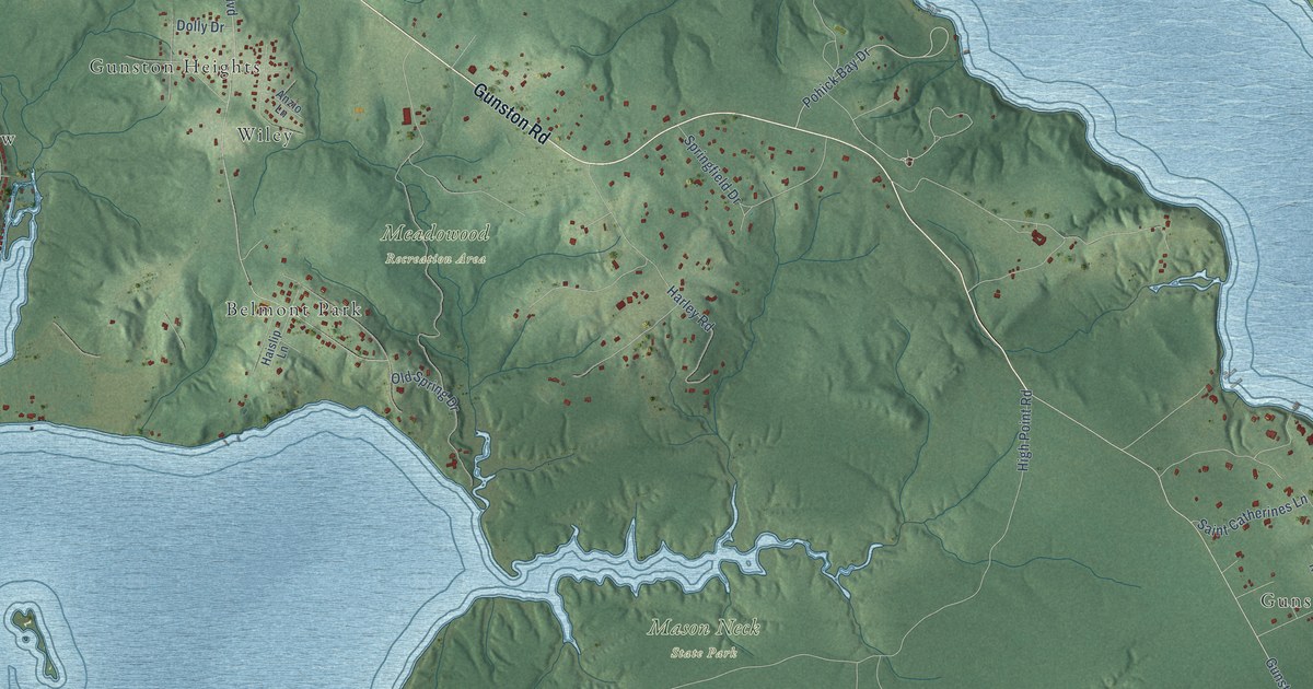
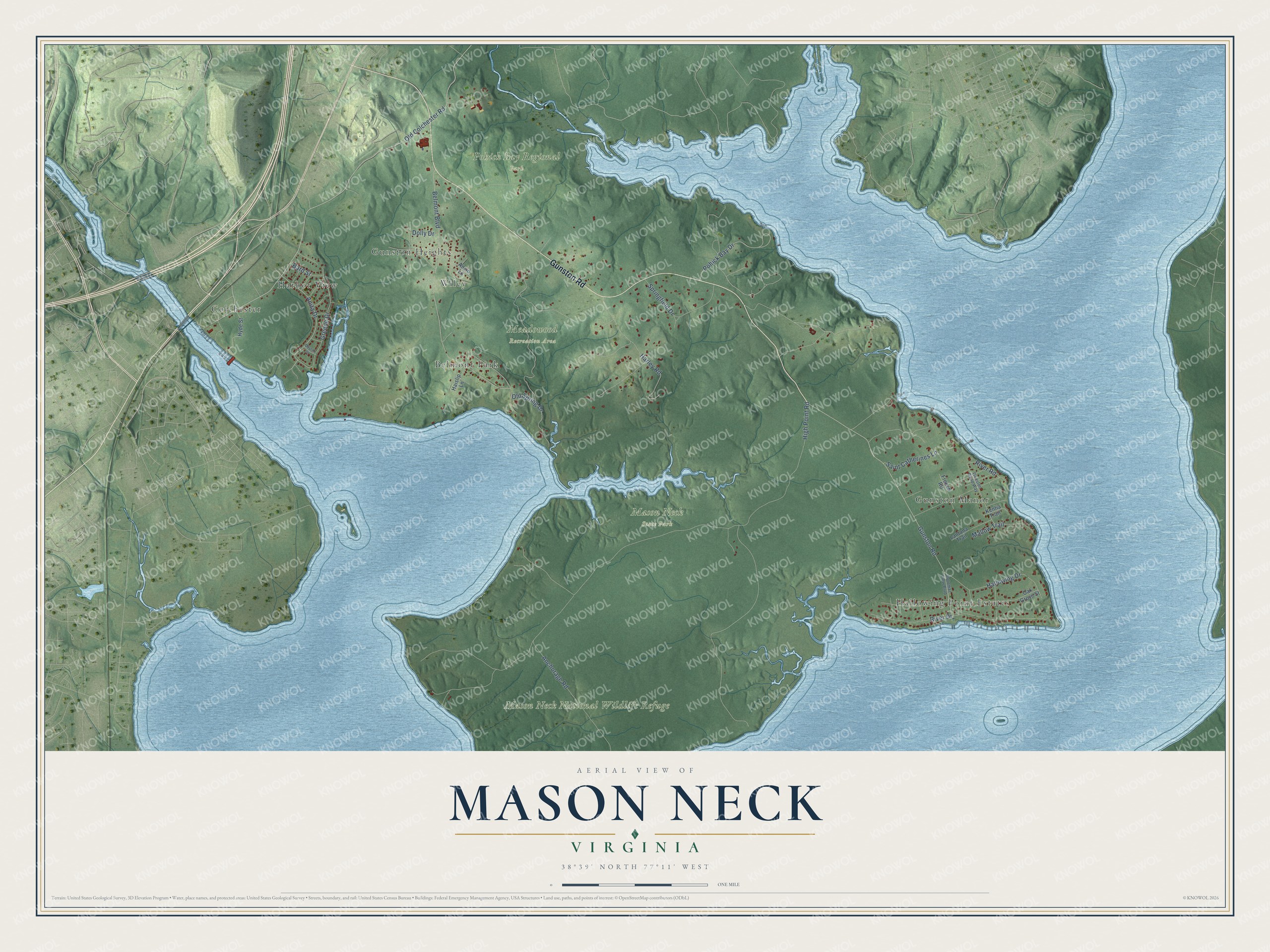
This beautifully detailed map of Mason Neck, Virginia was created in 2026 using aerial imagery combined with modern topographical, census, street and landmark data. It’s a one-of-a-kind view of Mason Neck that combines accurate data with a vintage aesthetic. The map shows every building in its true location, many of the roads carry their names, and the shaded topographic relief shows the shape of the land.
Explore an aerial view of Mason Neck, Virginia
On the map you’ll find Mason Neck State Park, Mason Neck National Wildlife Refuge, Meadowood Recreation Area, Pohick Bay Regional Park, Gunston Manor, Colchester, Hallowing Point Estates, Gunston Heights, Belmont Park, Harbor View, and Wiley, along with Gunston Road, and more. If you look closely you can even find your house accurately drawn in its correct location. Zoom in on the preview to look for yours.
Did You Know?
In 1964 a developer planned Kings Landing on Mason Neck, a new town with homes for 20,000 people. Resident Elizabeth Hartwell saw that the eagles would be driven out, and she rallied the public to stop it. In 1965 she even followed the Interior Secretary's tour bus in her own car, getting out at each stop to make her case. In 2007 the wildlife refuge on the peninsula was renamed the Elizabeth Hartwell Mason Neck National Wildlife Refuge. It was the first national wildlife refuge set up to protect an endangered species, the bald eagle. That's from the Virginia Places history site.
Take a closer look at the Mason Neck map
Names on this map
These names are printed on this map.
Places: Mason Neck State Park, Mason Neck National Wildlife Refuge, Meadowood Recreation Area, Pohick Bay Regional Park, Gunston Manor, Colchester, Hallowing Point Estates, Gunston Heights, Belmont Park, Harbor View and Wiley.
Streets and roads: Gunston Road, Anita Drive, Old Colchester Road, River Road, Hallowing Drive, High Point Road, Belmont Boulevard, Harley Road, River Drive, Greene Drive, Anchorage Road, Pohick Bay Drive.
More street names, A to Z
Anzio Lane, Bard Street, Dayton Street, Dolly Drive, French Road, Gunston Road Way, Haislip Lane, Hyde Street, Kentia Trail, Lantana Trail, Mallow Trail, Oak Grove Street, Old Spring Drive, Potomac View Boulevard, Saint Catherines Lane, Springfield Drive.
See it on a wall
The Mason Neck map as a framed print. Swipe for more.


This beautifully detailed map of Mason Neck makes an attractive addition to your office, library, or den, and it can even be used to teach children the geography and history of the area. It also makes a great gift for someone who left Mason Neck and still calls it home. When you’re done exploring, click here to get your copy of the Mason Neck map.