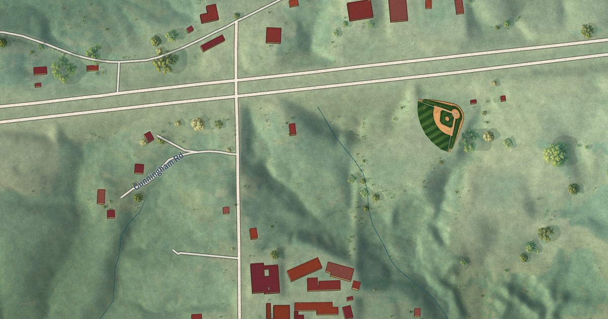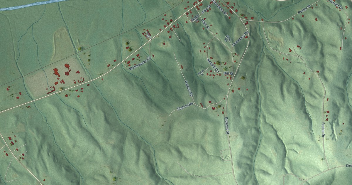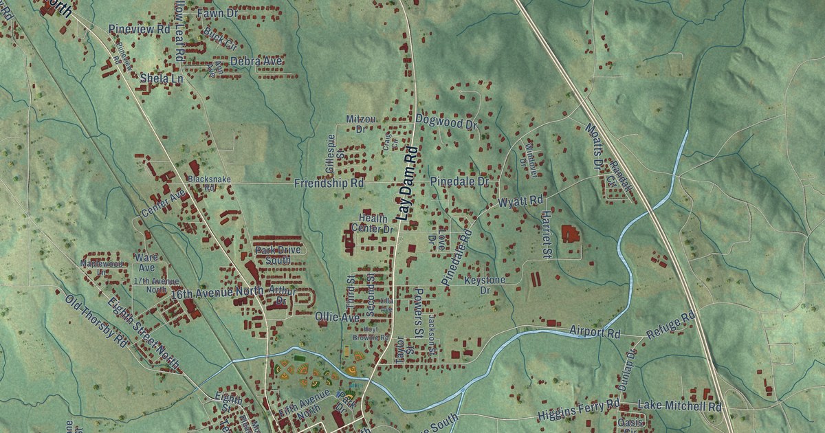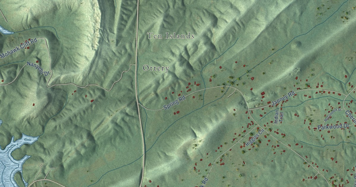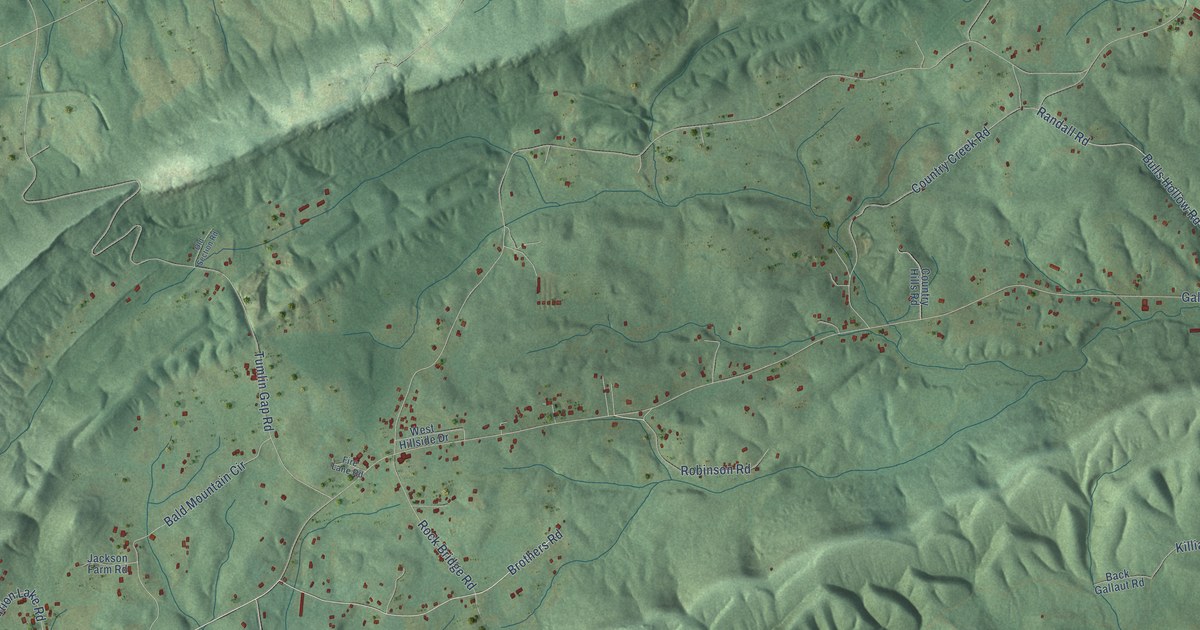
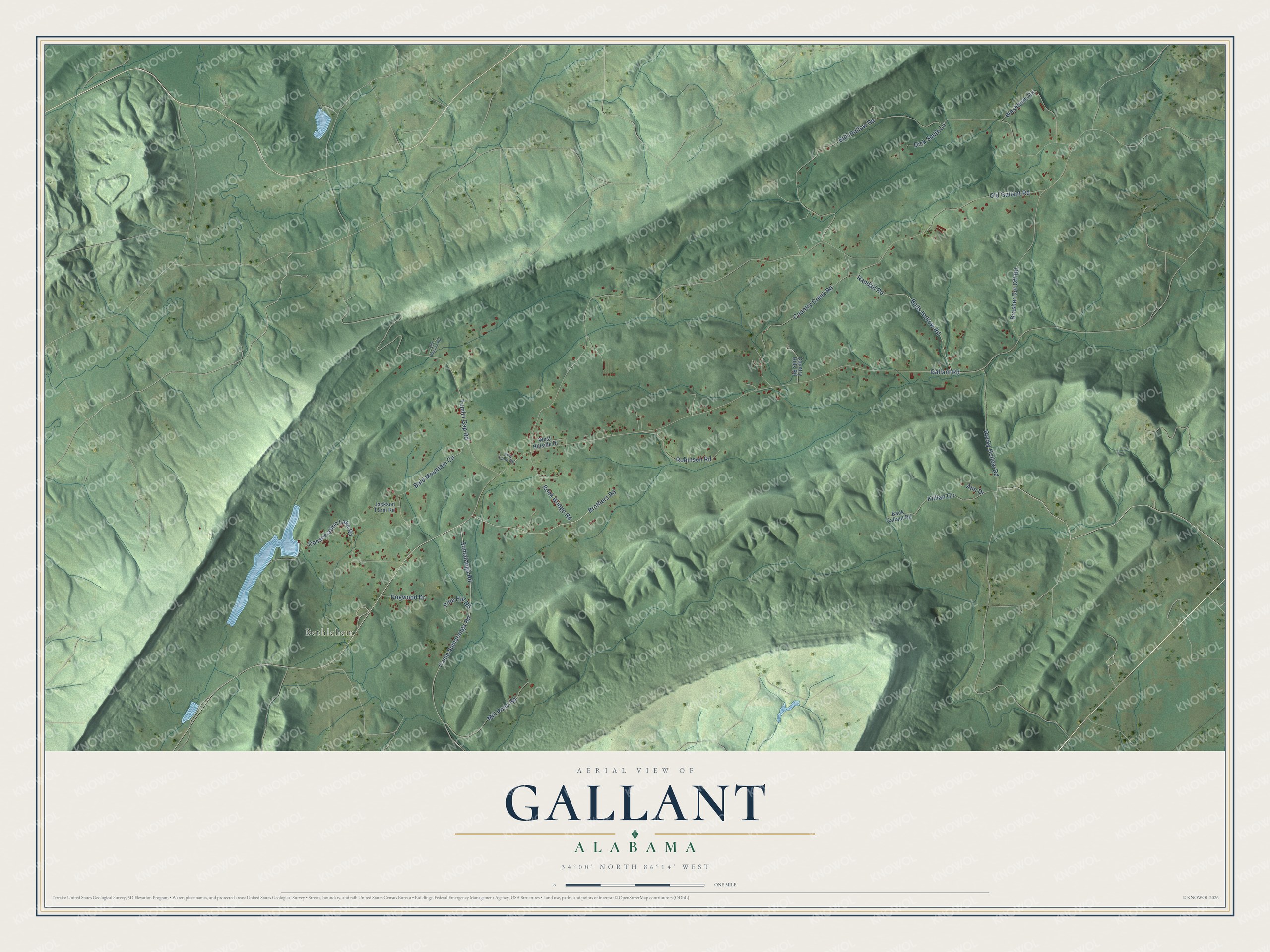
This beautifully detailed map of Gallant, Alabama was created in 2026 using aerial imagery combined with modern topographical, census, street and landmark data. It’s a one-of-a-kind view of Gallant that combines accurate data with a vintage aesthetic. The map shows every building in its true location, many of the roads carry their names, and the shaded topographic relief shows the shape of the land.
Explore an aerial view of Gallant, Alabama
On the map you’ll find Bethlehem, along with Brothers Road, Robinson Road, Gallant Road, Old Gallant Road, Bull Hollow Road, Tumlin Gap Road, Camp Sumatanga Road, Sumatanga Road, Country Creek Road, Randall Road, Brasher Cut Off Road, and more. If you look closely you can even find your house accurately drawn in its correct location. Zoom in on the preview to look for yours.
Did You Know?
Methodist preacher John Jackson Brasher built a homestead on Clear Creek that became known as Brasher Springs. His big log cabin, built as an inn, was a stop where many wagonloads of pioneers bound from Georgia to Sand Mountain got directions, water and rest. His son, John L. Brasher, later made the place a camp meeting ground where people gathered every summer. John L. Brasher was born at the family place in 1868 and lived to be 102. On his hundredth birthday he preached for an hour in the open air at Brasher Springs. That's from the Boaz historian Lee N. Allen.
Take a closer look at the Gallant map
Names on this map
These names are printed on this map.
Places: Bethlehem.
Streets and roads: Brothers Road, Robinson Road, Gallant Road, Old Gallant Road, Bull Hollow Road, Tumlin Gap Road, Camp Sumatanga Road, Sumatanga Road, Country Creek Road, Randall Road, Brasher Cut Off Road, Bald Mountain Circle.
More street names, A to Z
Ann Drive, Back Gallaut Road, Bulls Hollow Road, Conservation Lake Road, Country Hills Road, Dick Smith Lane, Dogwood Drive, Fire Lane Road, Jackson Farm Road, Killian Circle, Mill Pond Road, Old Section Road, Pine Hill Road, Rock Bridge Road, Rocky Hollow Road, Washburn Circle, West Hillside Drive.
See it on a wall
The Gallant map as a framed print. Swipe for more.


This beautifully detailed map of Gallant makes an attractive addition to your office, library, or den, and it can even be used to teach children the geography and history of the area. It also makes a great gift for someone who left Gallant and still calls it home. When you’re done exploring, click here to get your copy of the Gallant map.